Tenguzake Hiking Guide | The twin peaks of Yatsugatake — course times for West and East Tenguzake
Difficulty & route
Intermediate
The highest mountain of northern Yatsugatake, a twin-peaked summit of blue Tengu (West) and red Tengu (East). From Shibunoyu you follow forest and snowy ridges, taking in the two summits and the "Yatsugatake blue" sky.
West Tenguzake2,646m
East Tenguzake2,640m
Elevation
2,646m
Course time
An out-and-back from Shibunoyu — about 7 hours 14 minutes (the editor's late-snow measured time, incl. breaks)
Best season
Snow-free season is June–October (a twin-peaked introduction to Yatsugatake). The editor has records from both midwinter February (retreat) and the late-snow season of April (summit); snow gear is required for both.
Distance
8.3km
Total ascent
875m
Parking
The hikers' car park at Shibunoyu (Shibu-Gotenyu).
Late-snow season · summit (April)Apr 4, 20258.3km↑875mAn out-and-back from Shibunoyu — about 7 hours 14 minutes (incl. breaks)
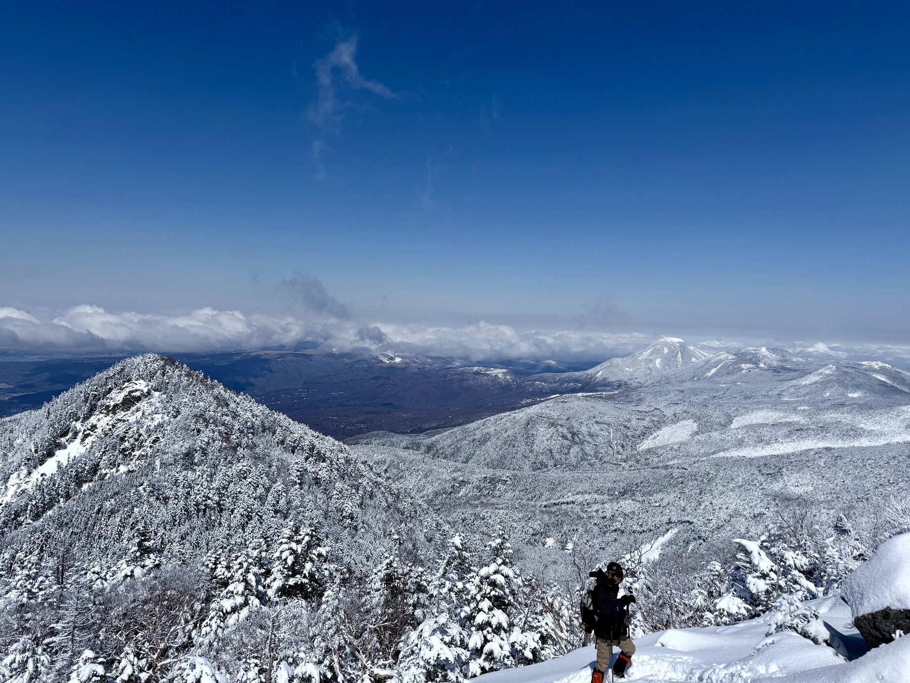
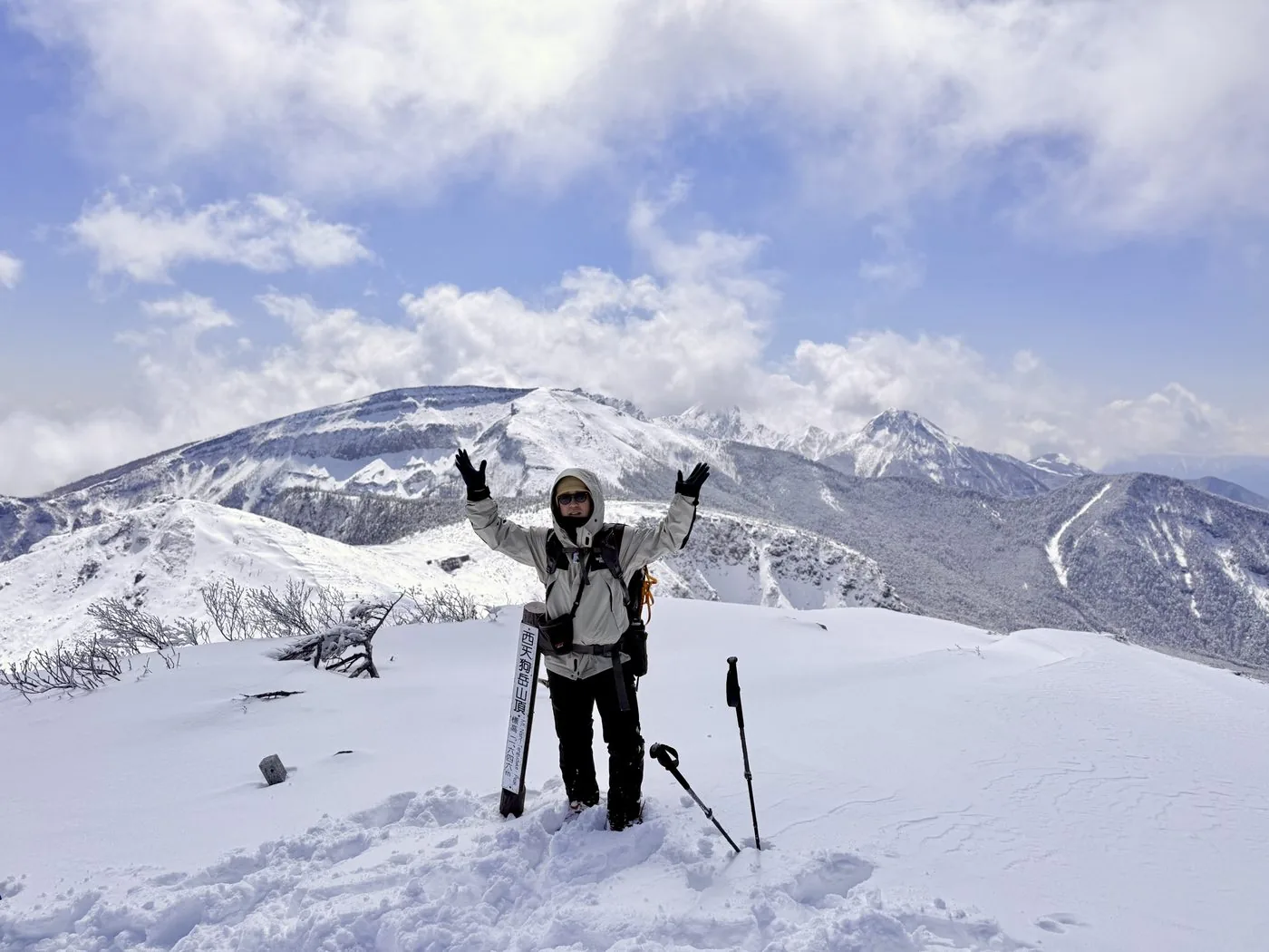
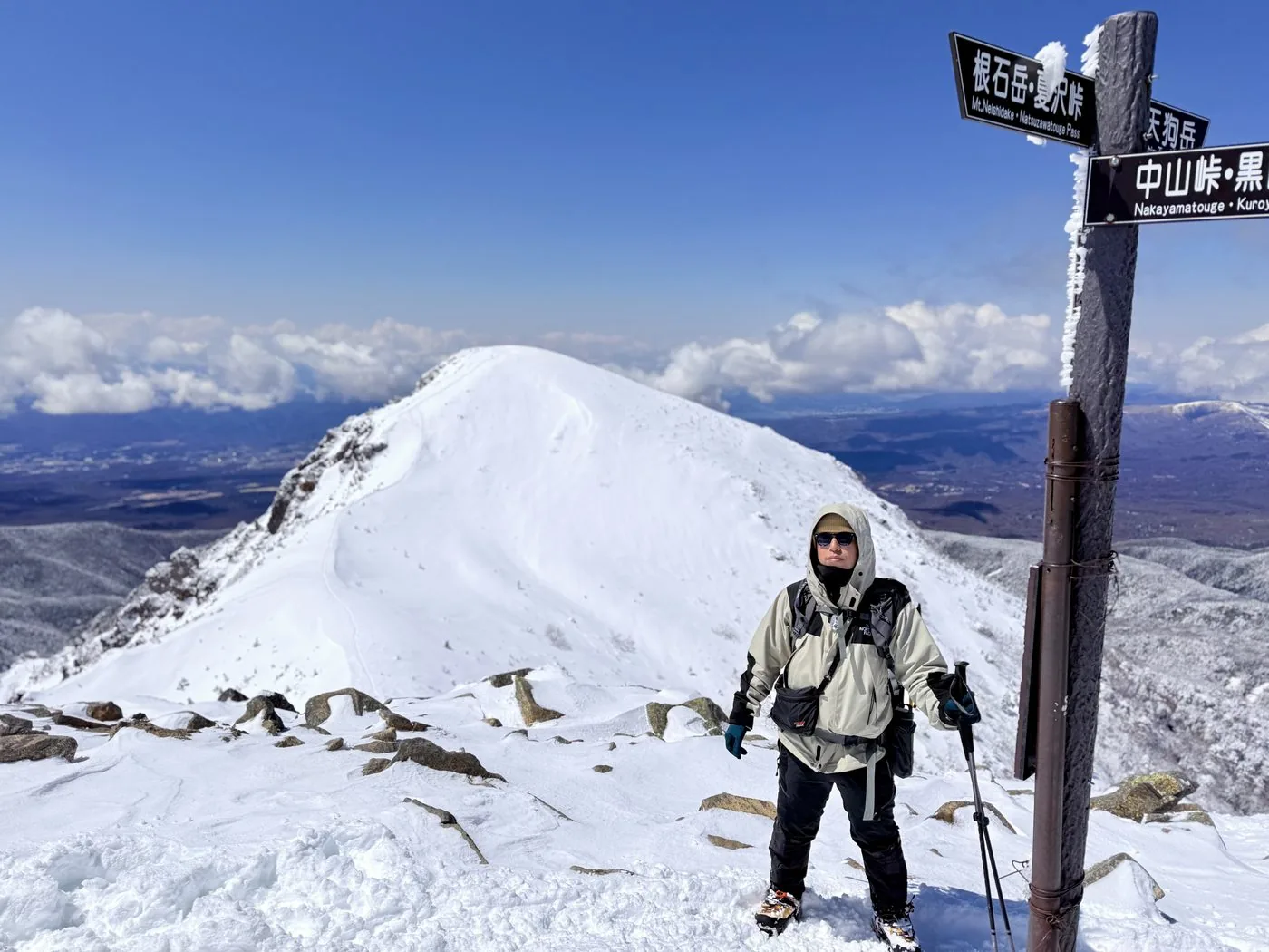
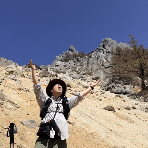
A rematch after retreating in bad weather in the midwinter of February. With the late-snow firm in April, this is a summit record of reaching the twin peaks of West and East Tenguzake.
0:00Elapsed0.0km1,860m
Elevation profileEditor's measured GPX · surface distance8.36kmRoute overviewEditor's measured GPS route on the GSI base map ·8.36km
Midwinter · retreat (February)Feb 26, 20259.7km↑1,093mAn out-and-back from Shibunoyu — about 7 hours 19 minutes (retreat, incl. breaks)
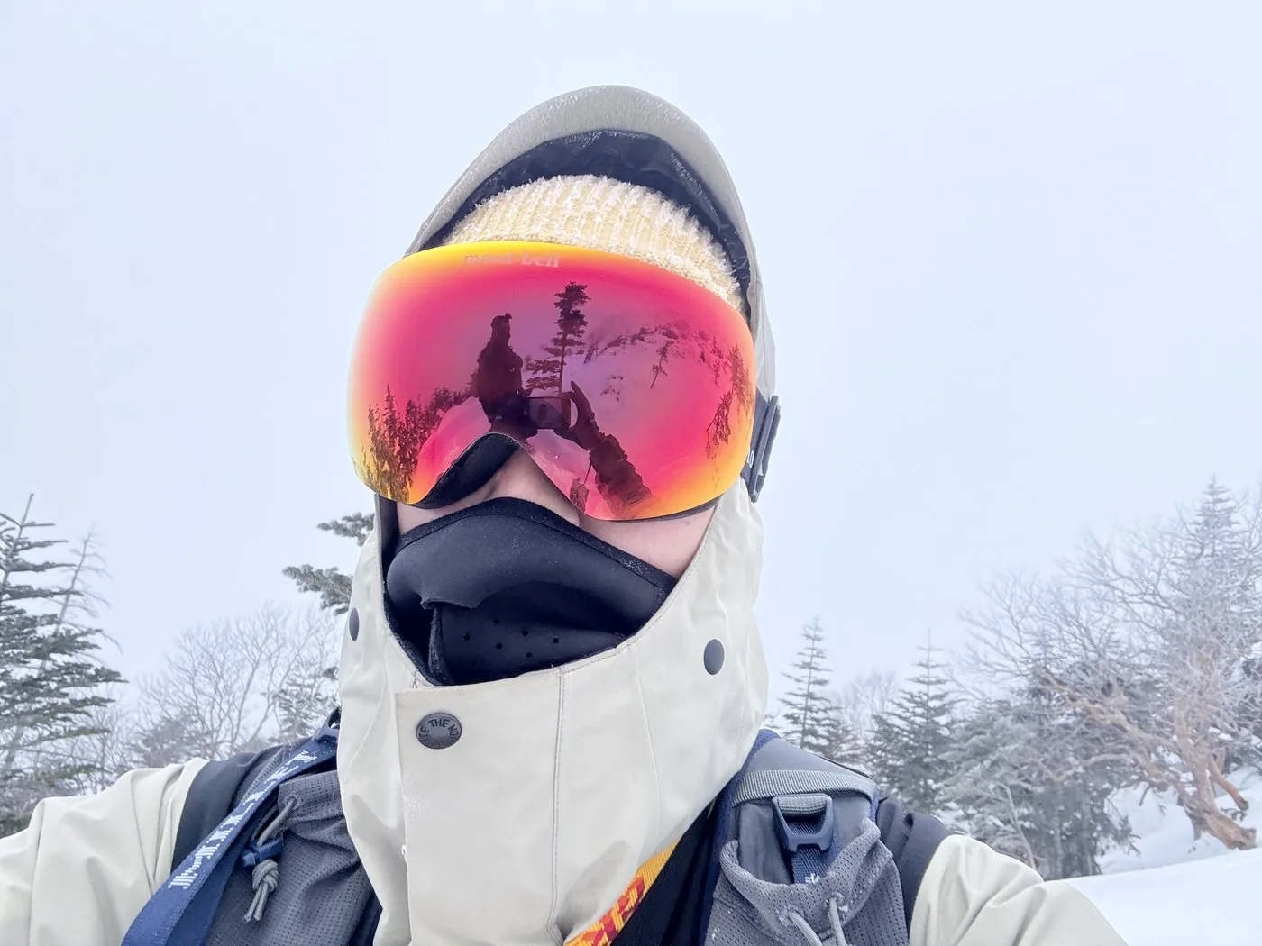
Midwinter, in February. Because of bad weather (strong wind, poor visibility), a retreat at about 2,527 m short of West Tenguzake (no summit). On a snow mountain, the decision to turn back matters too. The editor returned to summit in April of the same year (→ the late-snow season summit record).
0:00Elapsed0.0km1,842m
Elevation profileEditor's measured GPX · surface distance9.75kmRoute overviewEditor's measured GPS route on the GSI base map ·9.75km
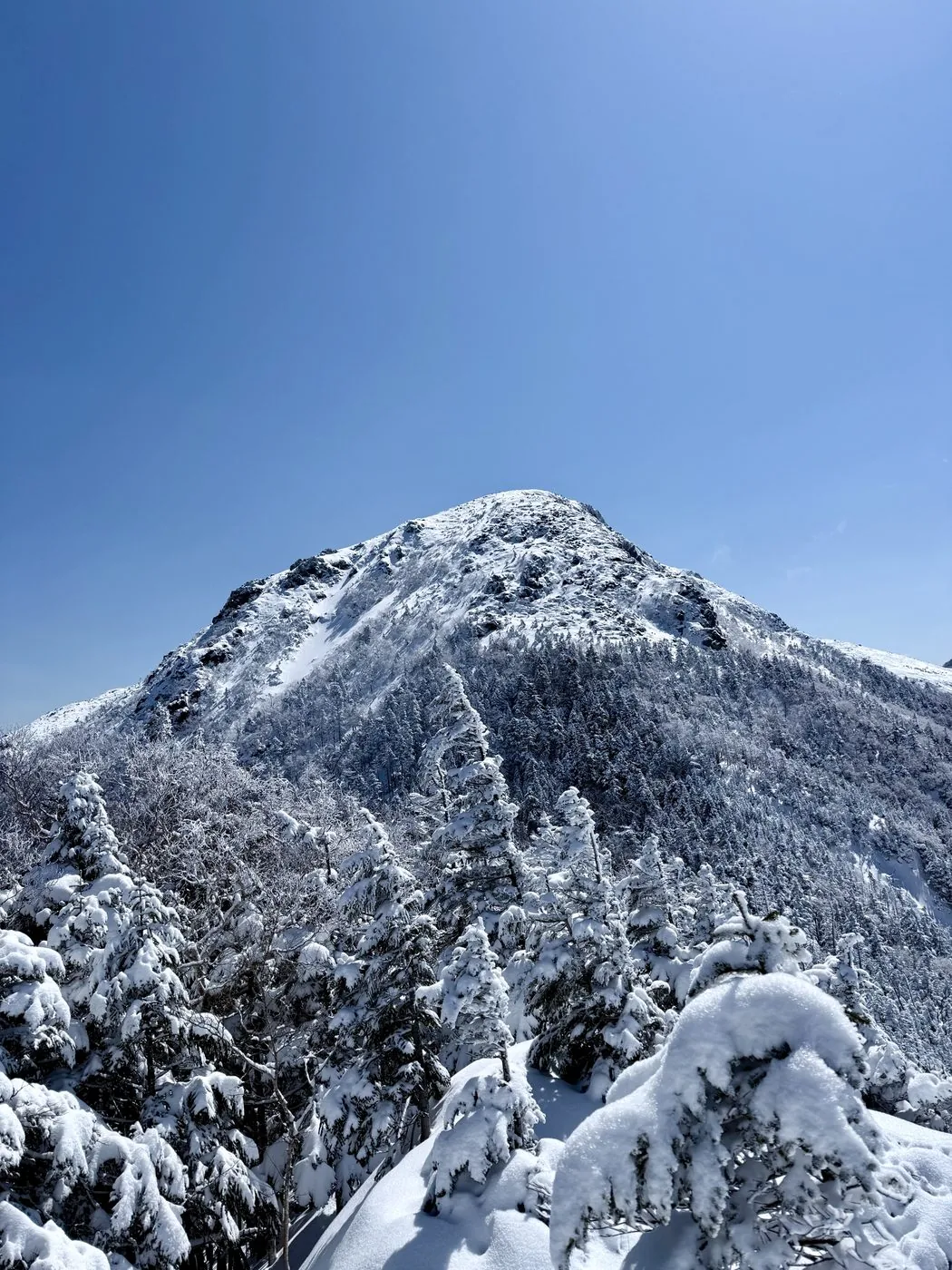
Tenguzake is the highest mountain of northern Yatsugatake, a twin-peaked summit made up of West Tenguzake (2,646 m) and East Tenguzake (2,640 m). The rounded West Tengu ("blue Tengu"), clad in creeping pine, and the sharp East Tengu ("red Tengu"), showing bare rock. Being able to link the two contrasting summits on foot is the charm, and it is also loved as an introductory mountain of Yatsugatake. The Hokuto editor walks and sets out this local Yatsugatake mountain first-hand.
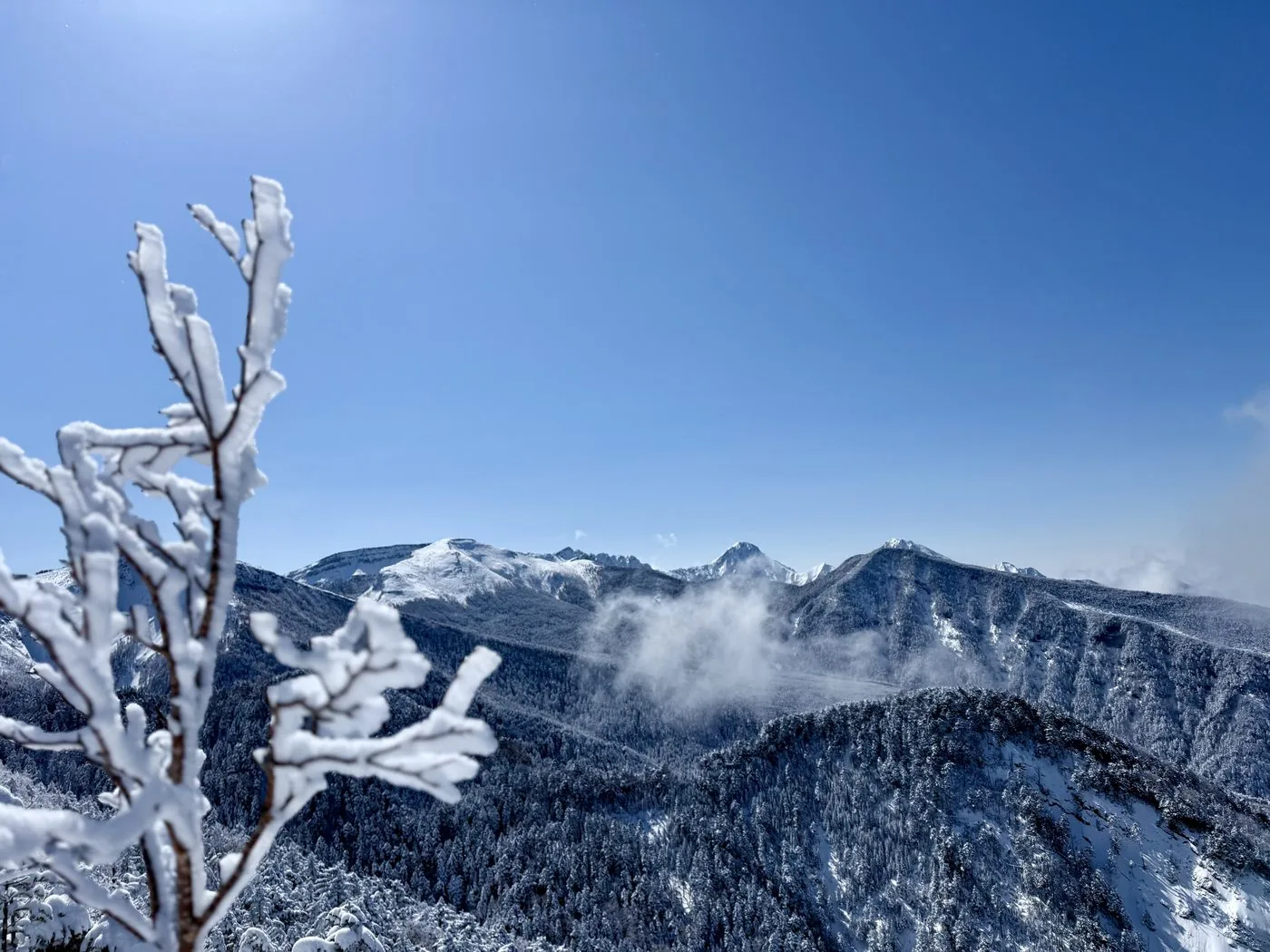
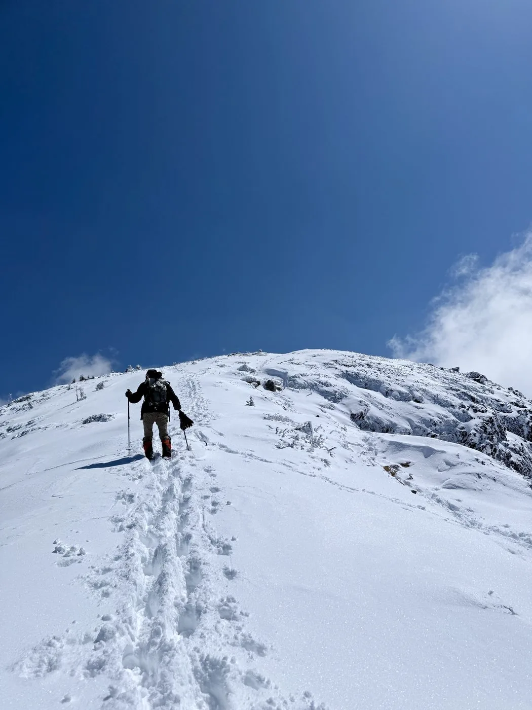
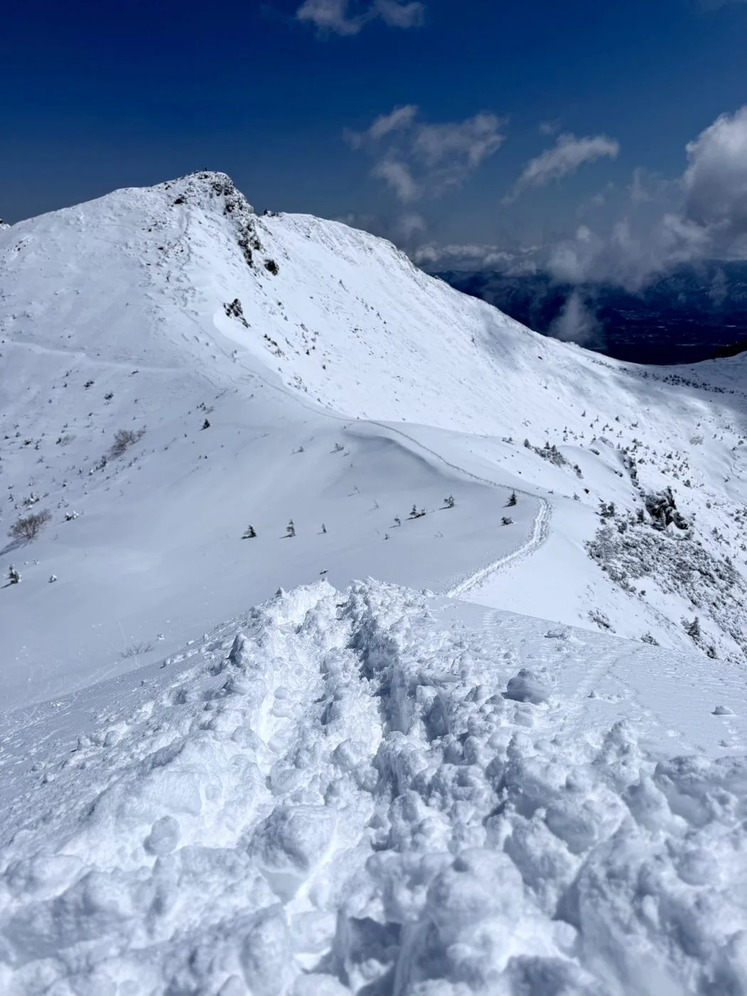
The editor has two records of this mountain. One is midwinter (February) — climbing from Shibunoyu but, with strong wind and poor visibility, turning back at about 2,527 m short of West Tenguzake (a retreat, no summit). It is a record that teaches that, on a snow mountain, deciding to turn back matters too. The other is the late-snow season (April) that became its rematch — choosing a day when the remaining snow was firm, and reaching the twin peaks of West and East Tenguzake under rime ice and "Yatsugatake blue" (a summit). In the "Climb Records" tab above you can compare each hike's replay, elevation profile, route map and photos.
Climbing from the Shibunoyu trailhead was actually the editor's first time, and it happened on the midwinter (February 2025) hike. The editor says so at the start of the video ([Video 0:28](https://www.youtube.com/watch?v=baBNH_-wkQw&t=28s) · [3:48](https://www.youtube.com/watch?v=baBNH_-wkQw&t=228s)).
The editor's measured time when summiting (late-snow season) was about 7 hours 14 minutes including breaks (depart 06:45 · West Tengu 10:52 / East Tengu 11:30 · descend by 13:59). In the snow-free season it is just right as an introduction to Yatsugatake, but its face changes greatly with the season.
Even though the snow-free season suits beginners, the late-snow and midwinter seasons are a serious snow mountain. In fact, the editor too turned back in midwinter. Beware of the rock on East Tengu and the strong wind above the tree line, and do not push it on days when the weather is breaking. Used well, the Kuroyuri Hütte lets you enjoy the twin peaks with margin to spare.
Routes
Choose your route
The Shibunoyu route (western side)
Out & back
Difficulty
Intermediate
Approx. time
About 7h14m (the editor's measured time)
Day trip
Day trip possible. Or stay at Kuroyuri Hütte
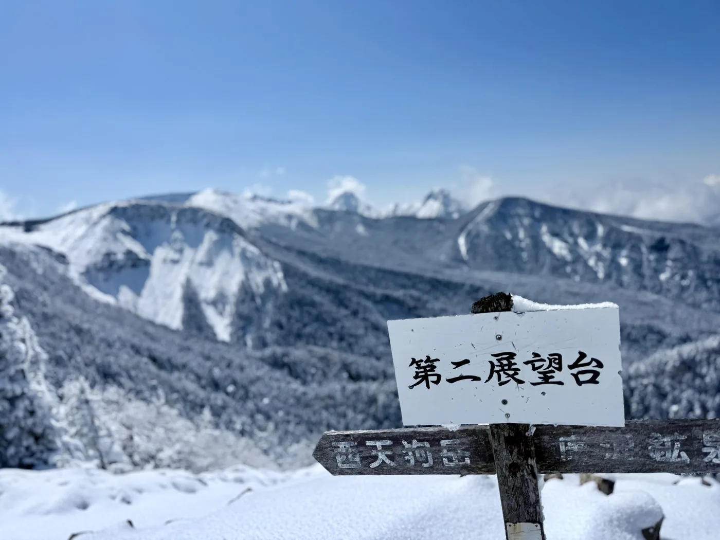
Starting from Shibunoyu on the western side, you climb through the forest belt to the twin peaks. Past a viewpoint you reach the two summits — the gently rounded West Tenguzake and the rocky-ridged East Tenguzake. It is relatively easy for Yatsugatake and suited to beginners, but the late-snow season the editor walked was a snow mountain that required crampons and an ice axe.
The Karasawa-kosen route · the Inagoyu / Shirakoma-ike route
Out & back · Loop
Difficulty
Intermediate
Approx. time
Day trip to one overnight
Day trip
An overnight at Kuroyuri Hütte is also popular
There are plenty of options — the path pushing up to West Tenguzake from Karasawa-kosen, or routes on the eastern side via Inagoyu, Shirakoma-ike and Nyu. Using the Kuroyuri Hütte at Kuroyuri-daira as a base lets you plan with some margin.
History & culture
History & culture
Tenguzake is the highest mountain of northern Yatsugatake, a twin-peaked summit made up of West Tenguzake (2,646 m) and East Tenguzake (2,640 m). It stands in Chino City, Nagano, and is counted among Japan's 200 Famous Mountains.
The two summits present contrasting faces. Rounded and clad in creeping pine, West Tenguzake is also called "blue Tengu," while the bare-rock East Tenguzake is called "red Tengu"; standing side by side, they give Tenguzake its distinctive character. With the Kuroyuri Hütte at Kuroyuri-daira as a base, it is widely loved as an introductory mountain of Yatsugatake.
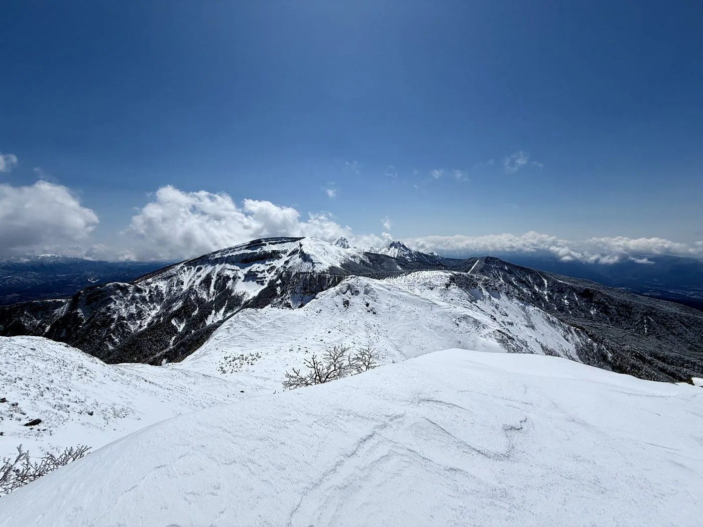
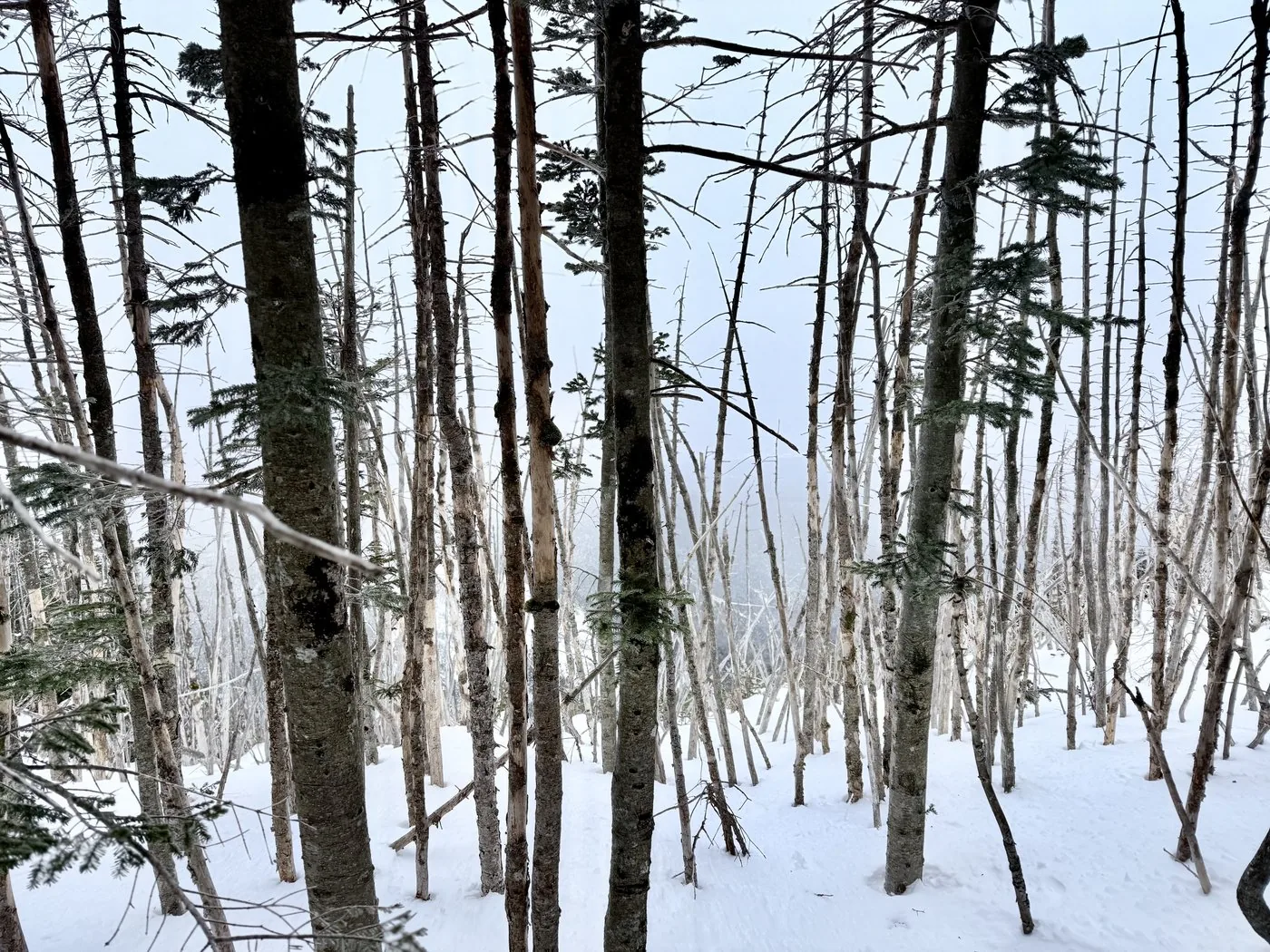
From winter into the late-snow season, the contrast between the rime ice growing on the forest (the frost-flowers of the Shirabiso firs) and the clear "Yatsugatake blue" sky is superb. In turn, above the tree line the wind is strong, and snow-mountain gear and experience are required.
FAQ
Frequently asked questions
Can beginners climb Tenguzake?
In the snow-free season Tenguzake is considered one of the easier mountains of Yatsugatake and suited to beginners. But it is a 2,600 m-class peak, and East Tenguzake has rocky sections, so do not let your guard down. The late-snow season the editor walked assumes snow-mountain gear and experience, so note that the difficulty changes with the season.
How do West Tenguzake and East Tenguzake differ?
West Tenguzake (2,646 m) is a rounded summit covered in creeping pine, also called "blue Tengu," while East Tenguzake (2,640 m) is a sharp summit showing bare rock, also called "red Tengu." Linking the two summits on foot is the charm of Tenguzake, and the editor climbed both.
Which route is easiest to walk?
There are routes from Shibunoyu and Karasawa-kosen on the western side, and from Inagoyu and Shirakoma-ike on the eastern side. All can go via or be based at the Kuroyuri Hütte at Kuroyuri-daira, and being easy to plan for either a day trip or a hut stay is the appeal of Tenguzake.
Can you climb it in winter or the late-snow season?
You can, but it is a snow mountain. In midwinter (February) the editor too turned back short of West Tenguzake in bad weather, then returned to summit in the late-snow season (April). Crampons, an ice axe, and winter-mountain gear and experience are required, and above the tree line beware of strong wind and whiteout. On days when the weather looks like breaking, choose to hold off.