Mt. Nyukasayama Hiking Guide | Course times from the Sawairi trailhead, flowers and a grand panorama
Difficulty & route
Beginner
Mt. Nyukasayama rises to 1,955 m in the Nyukasayama range at the northern end of the Southern Alps, in Nagano Prefecture. Its summit is an open viewing platform, famed for a grand panorama that takes in Yatsugatake, the Central and Southern Alps and even Mt. Fuji. The Nyukasa Marsh on the mountainside is a 'famous flower mountain' where lily of the valley and many other flowers bloom. Climb from the Sawairi trailhead for a quiet path of woodland and flowers, or use the gondola to reach near the summit with ease — it is loved by everyone from beginners to families.
Mt. Nyukasayama1,955m
Elevation
1,955m
Course time
Out and back from the Sawairi trailhead to Mt. Nyukasayama — about 3 hours 42 minutes (editor's measured time, incl. breaks / July 2024, early start). Using the Fujimi Panorama gondola, it is only about a 20–30 minute walk one way to the summit.
Best season
Early summer to autumn (June–October). The Nyukasa Marsh on the mountainside has many flowers such as lily of the valley, so there are flowers to enjoy even in summer. In winter snowshoe hiking is also popular (snow-mountain gear and experience are prerequisites).
Distance
6.5km
Total ascent
529m
Parking
Free car park at the Sawairi trailhead. It fills up easily during the flower season and on weekends, so arriving early is recommended.
0:00Elapsed0.0km1,442m
Elevation profileEditor's measured GPX · surface distance6.57kmRoute overviewEditor's measured GPS route on the GSI base map ·6.57km
LocationNagano Prefecture (northern end of the Southern Alps / Nyukasayama range; Fujimi Town, Suwa District and elsewhere)
TrailheadSawairi trailhead/Fujimi Town, Suwa District, Nagano Prefecture (Mt. Nyukasayama, Sawairi trailhead)35.9022, 138.1904Open in Google Maps →
AccessBy car: from Suwaminami IC on the Chuo Expressway to the Sawairi trailhead. Alternatively, it is common to ride the Fujimi Panorama Resort gondola up to the summit station (about 1,780 m) and walk to the top from there.
Coordinates are the trailhead and summit points from the editor's own GPS track.
Watch
Watch this hike on video
Editor's note
Editor's note
編集長
Climbed on:2026-09-30
Mt. Nyukasayama is a 1,955 m mountain that rises in the Suwa–Fujimi area next to Hokuto City. Set in the Nyukasayama range at the northern end of the Southern Alps, it is known as a “famous flower mountain” for the grand view from its summit and the flowers blooming in the Nyukasa Marsh on its mountainside. Easy to reach via the Chuo Expressway, and — using the Fujimi Panorama Resort gondola — an easy way up to near the summit, it bustles with beginners, families and people visiting for the flowers: an introductory peak of the Southern Alps.
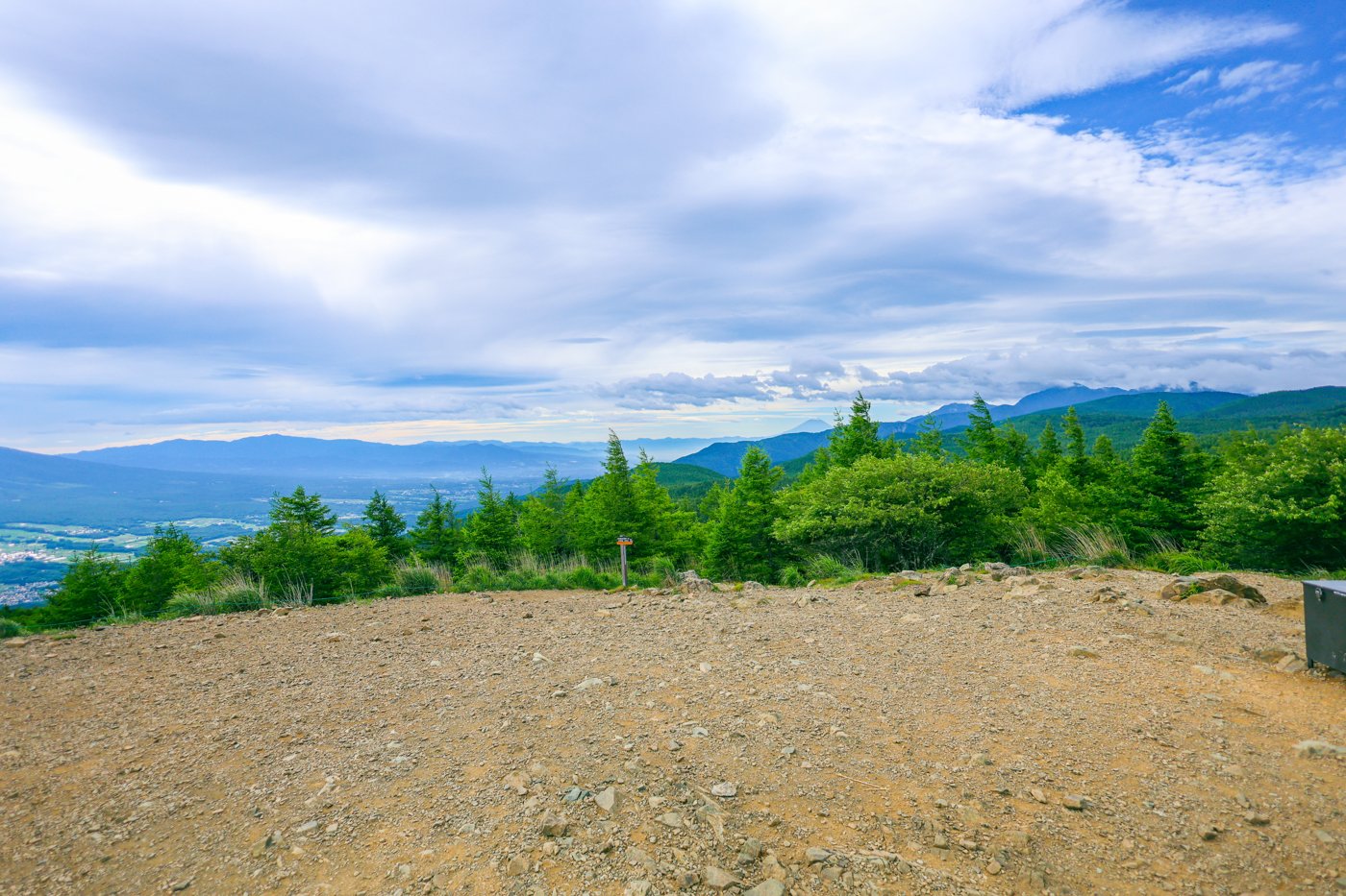
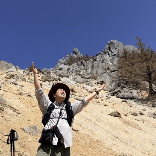
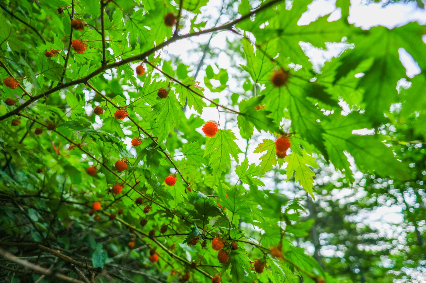
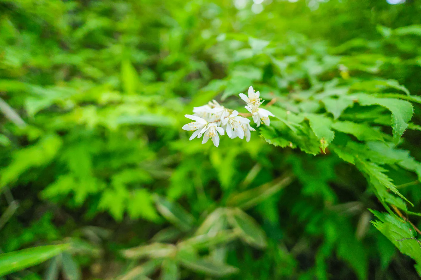
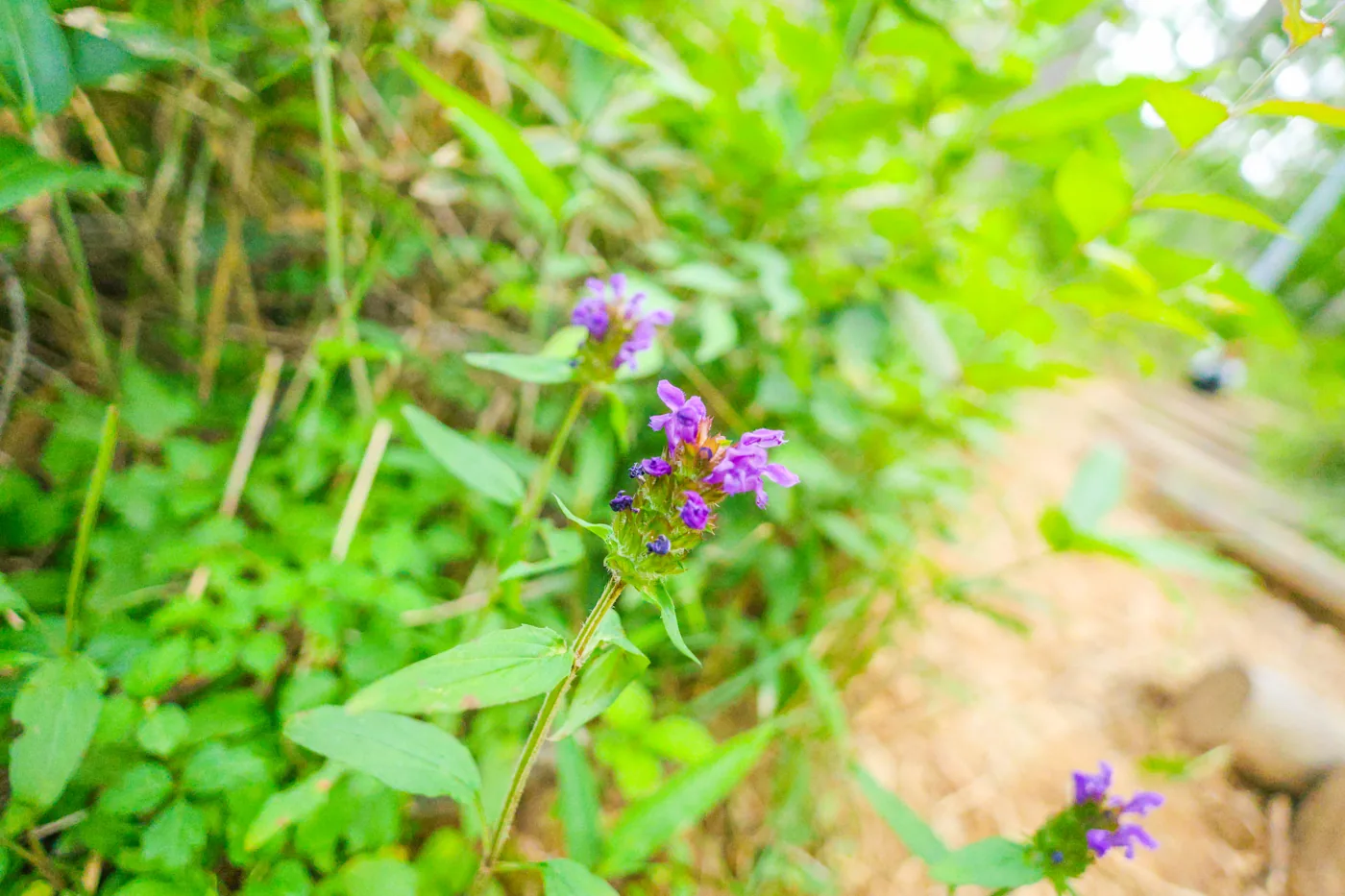
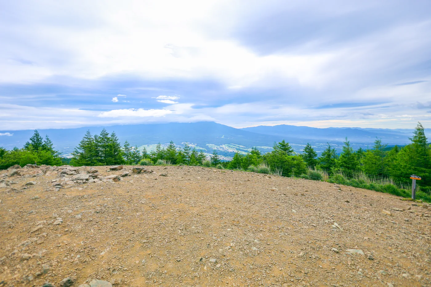
I walked it on an early July morning. Leaving the Sawairi trailhead a little after 6 a.m., I followed a quiet path of woodland and flowers up to Mt. Nyukasayama. Along the start of the climb, orange ripe wild raspberries and purple and white wildflowers bloomed here and there. After a short climb I stepped out onto the summit, where the view suddenly opened, and — though there was plenty of cloud — a sweeping view of mountain ranges and the basin below awaited.
On this hike in July 2024, there was a stretch partway along the trail with a fence (netting) set up to keep deer out, which had to be opened and closed when passing through. In the video, the editor also mentions that if deer get in they will eat the grass ([video, 8:40](https://www.youtube.com/watch?v=h4fgqmXsXTA&t=520s)), suggesting this is a mechanism to protect the Nyukasa Marsh and flower meadows.
The editor's measured time was about 3 hours 42 minutes including breaks (departing 06:07, reaching the top around 8 a.m., descending at 09:49), about 6.5 km and around 529 m of ascent. Using the gondola, you can enjoy the grand view and flower meadows even more easily. Being able to choose how you climb it to suit your goal and fitness is part of Mt. Nyukasayama's appeal.
It is an easy mountain you can drive to the trailhead of, with a gondola too, but the summit is open and exposed to the wind, and in mist or bad weather there is no view. Beware of sudden changes in the weather. To protect the Nyukasa Marsh and flower meadows, keep to the boardwalks and trails, and do not pick flowers or plants or trample off the path. The car park fills up easily during the flower season and on weekends, so arriving early is recommended.
Routes
Choose your route
Out and back from the Sawairi trailhead (the editor’s route)
Out & back
Difficulty
Beginner
Approx. time
About 3h42m (editor's measured time, early start)
Day trip
Day trip · Beginner
From the Sawairi trailhead (about 1,450 m), you follow a path of woodland and flowers to the summit of Mt. Nyukasayama. The editor made this out-and-back from Sawairi, walking about 6.5 km and around 529 m of ascent in the early morning. The start of the climb has many wild raspberries and wildflowers, and once you step out onto the summit the view suddenly opens up into a grand panorama.
Using the gondola (Fujimi Panorama Resort)
Out & back
Difficulty
Beginner
Approx. time
About 20–30 min one way from the summit station to the top
Day trip
Day trip · Beginner
Ride the Fujimi Panorama Resort gondola straight up to the summit station at about 1,780 m, and after passing the Nyukasa Marsh and flower meadows you can reach the summit’s grand panorama in a short time. With little elevation gain, this is the easiest and most popular route on Mt. Nyukasayama, loved by families and flower-seekers alike.
Editor's record
Editor's measured times
The editor's actual timings on this hike (from the video record). Use them as a guide to course times.
06:07Depart the Sawairi trailhead (about 1,450 m; early-morning start)
08:05Reach the summit of Mt. Nyukasayama (1,955 m). A grand view from the open top
09:49Descend to the Sawairi trailhead (out and back, about 3h42m)
History & culture
History & culture
Mt. Nyukasayama (Nyukasayama, 1,955 m) is a mountain in the Nyukasayama range at the northern end of the Southern Alps, in Nagano Prefecture.
Its greatest appeal is the grand view from the summit. From the open top a 360-degree panorama spreads out over Yatsugatake, the Central and Southern Alps, and — on a clear day — as far as Mt. Fuji and the Northern Alps.
Another face of the mountain is its flowers. The Nyukasa Marsh spreading across the mountainside is known as a colony of lily of the valley, and from early summer into summer many flowers bloom in the marsh and the flower meadows. Thanks to this rich display, Mt. Nyukasayama has long been loved as a famous flower mountain.
With the ease of the Fujimi Panorama Resort gondola taking you close to the summit, it bustles with families, beginners and people visiting for the flowers — an introductory peak of the Southern Alps.
Photos
Photos from the trail
All photos were taken by the editor on the actual hike. Tap to enlarge.
Yes. It stands at 1,955 m, but the elevation gain from the Sawairi trailhead is only about 500 m, and you can also ride the Fujimi Panorama Resort gondola up near the summit, so Mt. Nyukasayama is popular with beginners and families. The editor made an out-and-back from the Sawairi trailhead — an early-morning hike of about 6.5 km, around 529 m of ascent, and about 3 hours 42 minutes including breaks. It is an easy mountain, but the summit is open and exposed to the wind, so beware of sudden changes in the weather.
I hear Mt. Nyukasayama is famous for flowers. When are they at their best?
The Nyukasa Marsh on the mountainside is known as a colony of lily of the valley, which is at its best in early summer (around June). Beyond that, many flowers can be enjoyed in the marsh and the flower meadows from early summer into summer. When the editor visited in July, there were wild raspberries and wildflowers along the start of the climb. To protect the flowers and plants, please keep to the boardwalks and trails as you walk.
Which is better — the gondola route or walking up?
If you want to enjoy the grand view and flower meadows with ease, the popular route is to ride the Fujimi Panorama Resort gondola up to the summit station (about 1,780 m), from where it is only about a 20–30 minute walk to the top. If you would rather take your time on the quiet woodland and flower paths, the out-and-back from the Sawairi trailhead that the editor climbed (about 3h42m) is recommended. Being able to choose to suit your goal and fitness is part of Mt. Nyukasayama’s appeal.
What can you see from the summit?
Mt. Nyukasayama's summit is an open viewing platform, famed for a grand panorama that takes in Yatsugatake, the Central and Southern Alps and — on a clear day — as far as Mt. Fuji and the Northern Alps. The day the editor climbed there was a fair amount of cloud, yet even so there was a sweeping view of mountain ranges and the basin spreading out below the clouds.