Mt. Tateshinayama Hiking Guide | To the "Suwa Fuji" of North Yatsugatake — course times from the Seventh Station and Suzuran Pass
Difficulty & route
Intermediate
Called "Suwa Fuji" for its graceful conical shape, this is the highest peak of North Yatsugatake at 2,531 m. From its broad rocky summit you take in a sweeping view of the Yatsugatake range and the Northern Alps. The shortest route, from the Seventh Station, is the most popular.
Mt. Tateshinayama2,531m
Elevation
2,531m
Course time
Round trip from the Seventh Station: about 4 hours 25 minutes / Round trip from Suzuran Pass: about 5 hours 1 minute (the editor's measured times)
Best season
June to October (fresh greenery to autumn colours). In deep winter, a clear day brings the "Yatsugatake blue" sky, and full winter gear is required.
Distance
5.9km
Total ascent
809m
Parking
Tateshinayama Seventh Station car park / Suzuran Pass Enchi car park. In winter the forest road to the Seventh Station may be closed.
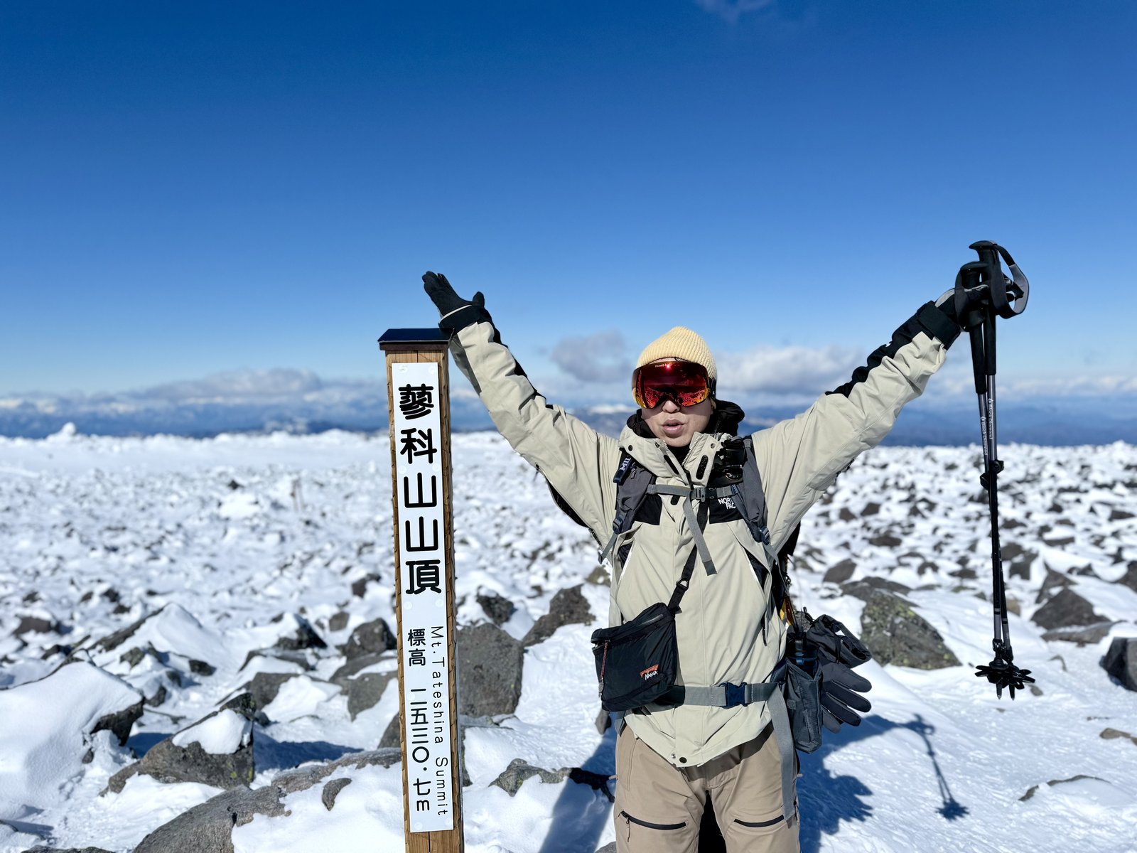
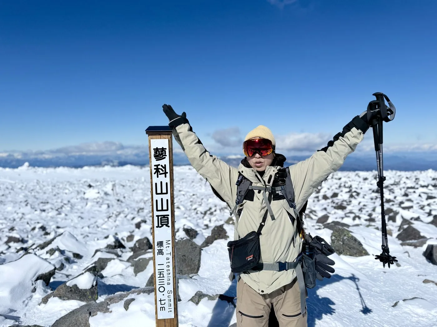
Deep winter (Suzuran Pass)Feb 21, 20255.9km↑809mRound trip from Suzuran Pass: about 5 hours 1 minute (incl. breaks)
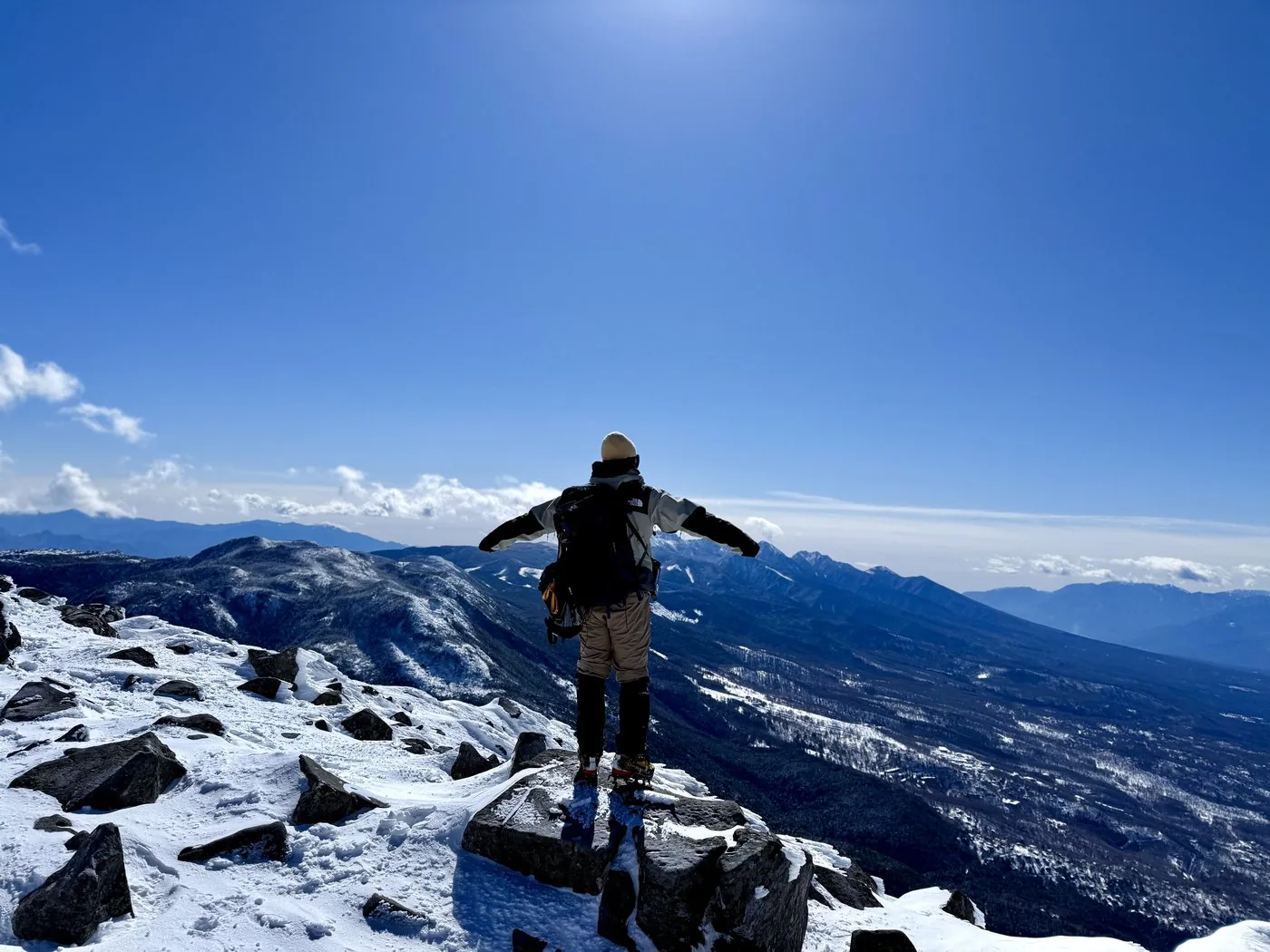
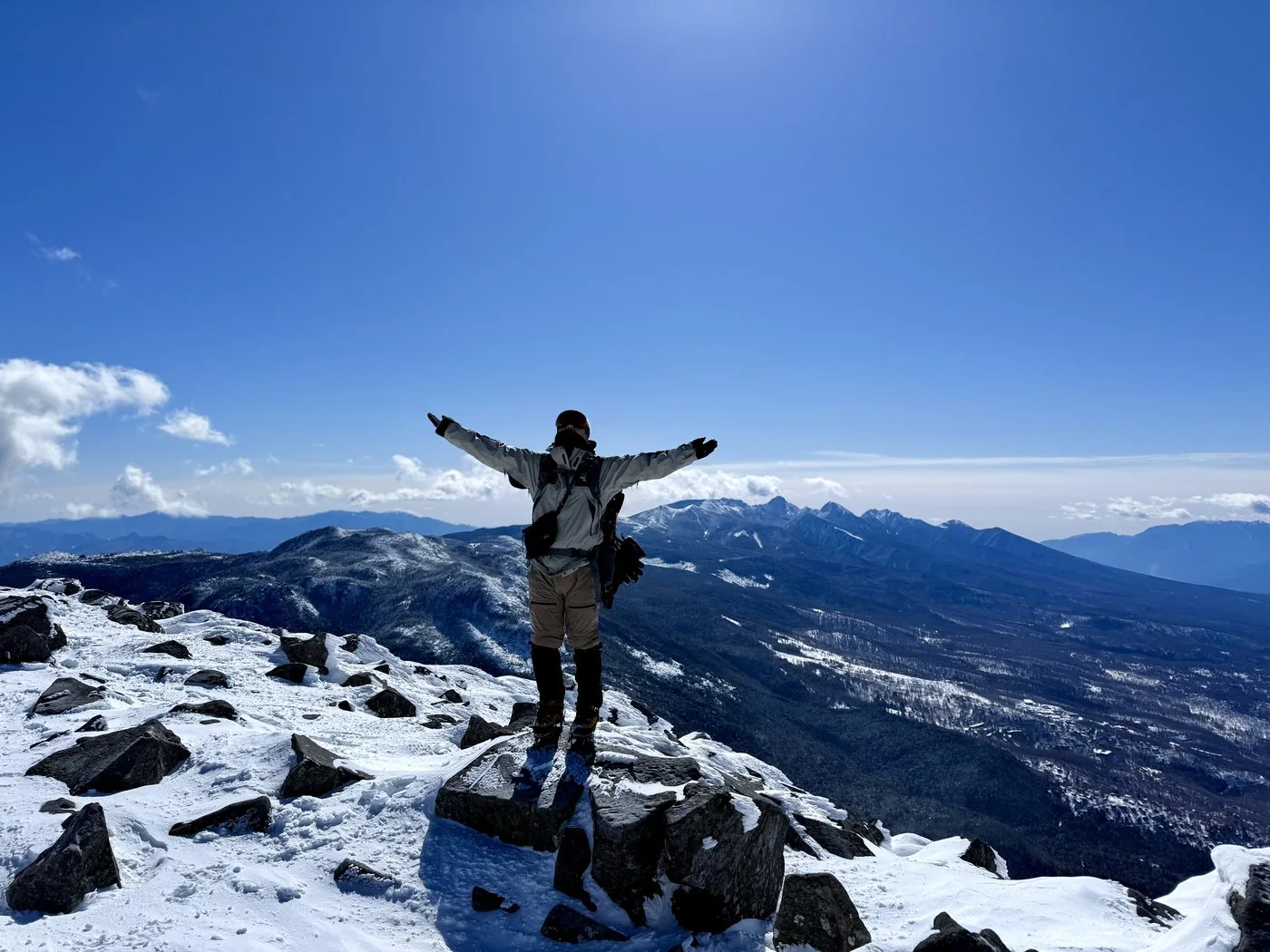
Deep winter (February), from Suzuran Pass. Blessed with fine weather, we could enjoy the sweeping "Yatsugatake blue" view from the snowy summit.
0:00Elapsed0.0km1,730m
Elevation profileEditor's measured GPX · surface distance5.97kmRoute overviewEditor's measured GPS route on the GSI base map ·5.97km
Snow-free season (Seventh Station)Jun 19, 20244.9km↑631mRound trip from the Seventh Station: about 4 hours 25 minutes (incl. breaks)
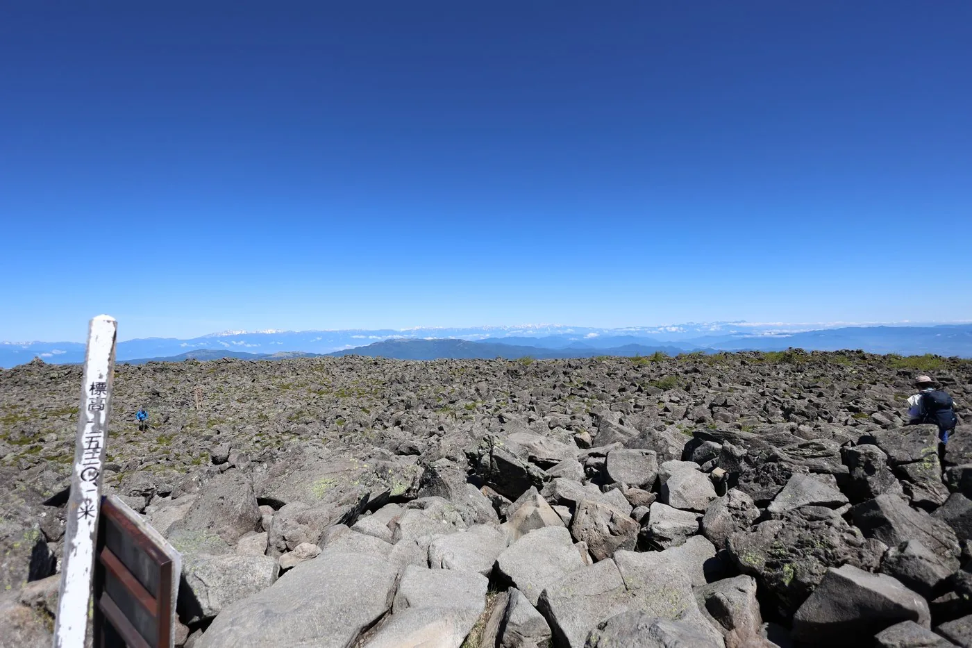
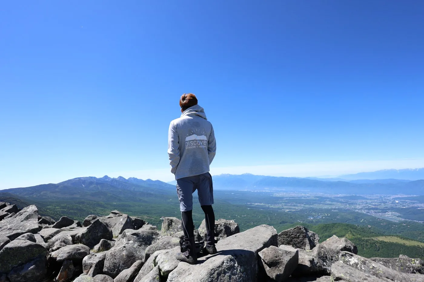
Snow-free season (June), the shortest out-and-back route from the Seventh Station. From the broad rocky summit we could see all the way to the Northern Alps.
0:00Elapsed0.0km1,900m
Elevation profileEditor's measured GPX · surface distance4.94kmRoute overviewEditor's measured GPS route on the GSI base map ·4.94km
Mt. Tateshinayama, rising at the northern end of the Yatsugatake range at 2,531 m, is the highest peak of North Yatsugatake. Called "Suwa Fuji" for its graceful conical shape, it is one of the 100 Famous Mountains of Japan. The Hokuto editor has put together records of climbing this same summit twice — in summer (Seventh Station) and in deep winter (Suzuran Pass). In the "Climb records" tab above, you can compare its two faces: the fresh-green summit and the snowy summit under a Yatsugatake-blue sky.
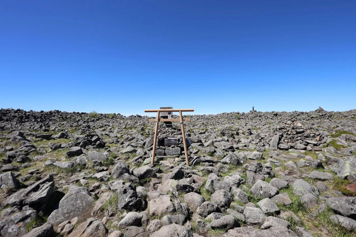
The snow-free walk was in June. From the shortest Seventh Station trailhead, after passing through easy-walking forest and climbing a steep slope strewn with large boulders, you reach the broad rocky summit formed by lava. With nothing in the way, the view stretched all the way to the distant Northern Alps (measured time about 4 hours 25 minutes). In the video, the editor notes that the climbing day, June 19, was clear. He recalls that, being an isolated peak, the summit wind was so strong it was barely possible to record audio there.
The deep-winter climb was in February. From Suzuran Pass (Menotori-jaya), by way of Kotoku-daira, up to the snowy summit. That day the weather was fine, and from the snow-clad summit the white peaks of the Yatsugatake range extending south spread out under a "Yatsugatake blue" sky (measured time about 5 hours 1 minute).
The broad rocky summit makes it easy to lose your bearings in mist, so take care on days of poor visibility. On the steep boulder climb in the second half, watch for falling rocks and slips. Deep winter is a serious snow climb, requiring crampons, an ice axe, appropriate gear and experience. As an isolated peak the wind is strong, so do not forget warm clothing.
Routes
Choose your route
Seventh Station route (shortest · out & back)
Out & back
Difficulty
Intermediate
Approx. time
About 4h25m (editor's measured time) / standard about 3.5 hours
Day trip
Day trip · Beginner–Intermediate
The shortest route, climbing from the Tateshinayama Seventh Station trailhead up past Tateshina Sanso lodge to the summit. The first half is easy walking through forest; the second half is a steep climb strewn with large boulders, but with little danger. The short distance makes it popular with families too. The editor also climbed this route in the snow-free season.
Suzuran Pass route (Menotori-jaya · out & back)
Out & back
Difficulty
Intermediate
Approx. time
About 5h01m (editor's measured time · deep winter) / standard about 4.5 hours
Day trip
Day trip · Intermediate
From Suzuran Pass Enchi (Menotori-jaya) up past Kotoku-daira to the summit. It is a little longer with a bit more elevation gain than the Seventh Station route, but it is a well-trodden path. The editor climbed this route in deep winter and stood on the snowy summit under a fine "Yatsugatake blue" sky.
History & culture
History & culture
Mt. Tateshinayama, rising at the northern end of the Yatsugatake range at 2,531 m, is the highest peak of North Yatsugatake and one of the 100 Famous Mountains of Japan. It sits on the border between Chino City and Tateshina Town in Nagano Prefecture.
Its graceful conical shape has earned it the name "Suwa Fuji," and it is a landmark that stands out clearly from the Suwa basin and the Saku plain. The summit is a broad, flat rocky field formed by lava, where the inner shrine (okumiya) of Tateshina Shrine is enshrined.
At its foot spread the Shirakaba highlands and the highland scenery of the Venus Line, and it has long been loved both for sightseeing and for climbing. Besides the shortest Seventh Station route, there are paths from Suzuran Pass (Menotori-jaya) and Okawara Pass, and on a clear day the summit offers a sweeping view stretching south along the Yatsugatake range to the Northern Alps and Mt. Asama.
FAQ
Frequently asked questions
Can beginners climb Mt. Tateshinayama?
The shortest Seventh Station route is short in distance, and even by the editor's measurement it was about 4 hours 25 minutes round trip. The first half is easy walking through forest, and although the second half becomes a steep climb over large boulders, there is little danger. It is popular with beginner–intermediate hikers and families. In deep winter it becomes a serious snow climb, so gear and experience are required.
Which route is easier to climb?
The shortest is the out-and-back from the Tateshinayama Seventh Station. The route from Suzuran Pass (Menotori-jaya) is a little longer with a bit more elevation gain, but it too is well trodden. The editor climbed from the Seventh Station in the snow-free season and from Suzuran Pass in deep winter (you can see both records in the tabs above).
What is the view from the summit?
The summit is a broad, flat rocky field formed by lava, with nothing to block the view, so on a clear day it opens onto a sweeping panorama stretching to the Yatsugatake range, the Northern Alps and Mt. Asama. On the day the editor climbed in deep winter the weather was fine, and he was able to enjoy the superb "Yatsugatake blue" scenery from the snowy summit.
Why is it called "Suwa Fuji"?
Its graceful conical shape recalls Mt. Fuji, and because it is clearly visible from the Suwa basin it is also called "Suwa Fuji." Standing alone at the northern end of the Yatsugatake range, it is a landmark that stands out well from the Saku plain and the Shirakaba highlands too.