Kitayokodake Hiking Guide | A winter introduction from Tsuboniwa in North Yatsugatake, with a course time on foot without the ropeway
Difficulty & route
Beginner
A 2,480 m peak representative of North Yatsugatake. Take the ropeway up to Tsuboniwa (2,237 m), then loop around the lava plateau and old-growth forest, pass Kitayokodake Hut and Nanatsu-ike, and climb to the twin summits of the North and South peaks. In winter it is popular as an introductory route for rime ice and snow hiking. The editor did the round trip on foot from the base without using the ropeway.
北横岳(北峰)2,480m
北横岳(南峰)2,472m
Elevation
2,480m
Course time
About 6 hours 36 minutes round trip from the North Yatsugatake trailhead (editor's measured time, incl. breaks / January 2025). Using the ropeway, it is about a 2-hour round trip from Tsuboniwa.
Best season
Year-round. With the ropeway it suits beginners in the snow-free season too. In winter it is a noted spot for rime ice and snow hiking, but above Tsuboniwa full winter mountaineering gear is required.
Distance
8.8km
Total ascent
750m
Parking
The car park at the North Yatsugatake Ropeway base station (formerly the Pilatus Tateshina Ropeway). The ropeway reaches the summit station at 2,237 m in about 7 minutes.
0:00Elapsed0.0km1,762m
Elevation profileEditor's measured GPX · surface distance8.83kmRoute overviewEditor's measured GPS route on the GSI base map ·8.83km
LocationChino City, Nagano (Yatsugatake range / North Yatsugatake)
TrailheadNorth Yatsugatake Ropeway base station (North Yatsugatake trailhead)/Kitayama, Chino City, Nagano (North Yatsugatake Ropeway)36.0682, 138.3030Open in Google Maps →
AccessBy car: from Suwaminami IC or Suwa IC on the Chuo Expressway to the North Yatsugatake Ropeway base station. There is also a bus from Chino Station to the base station. The ropeway reaches the summit station (Tsuboniwa) at 2,237 m in about 7 minutes.
Coordinates are the trailhead and summit points from the editor's own GPS track.
Watch
Watch this hike on video
Editor's note
Editor's note
編集長
Climbed on:2026-10-09
Kitayokodake is a 2,480 m mountain representative of North Yatsugatake. At the northern end of Yatsugatake as seen from the editor's home town of Hokuto, it stands shoulder to shoulder with Mt. Tateshina. Because the North Yatsugatake Ropeway carries you straight up to Tsuboniwa (2,237 m), it is beloved as a mountain for a first taste of winter mountaineering and snow hiking, but the Hokuto editor deliberately skipped the ropeway and, in the depths of winter, walked the round trip on foot from the base.
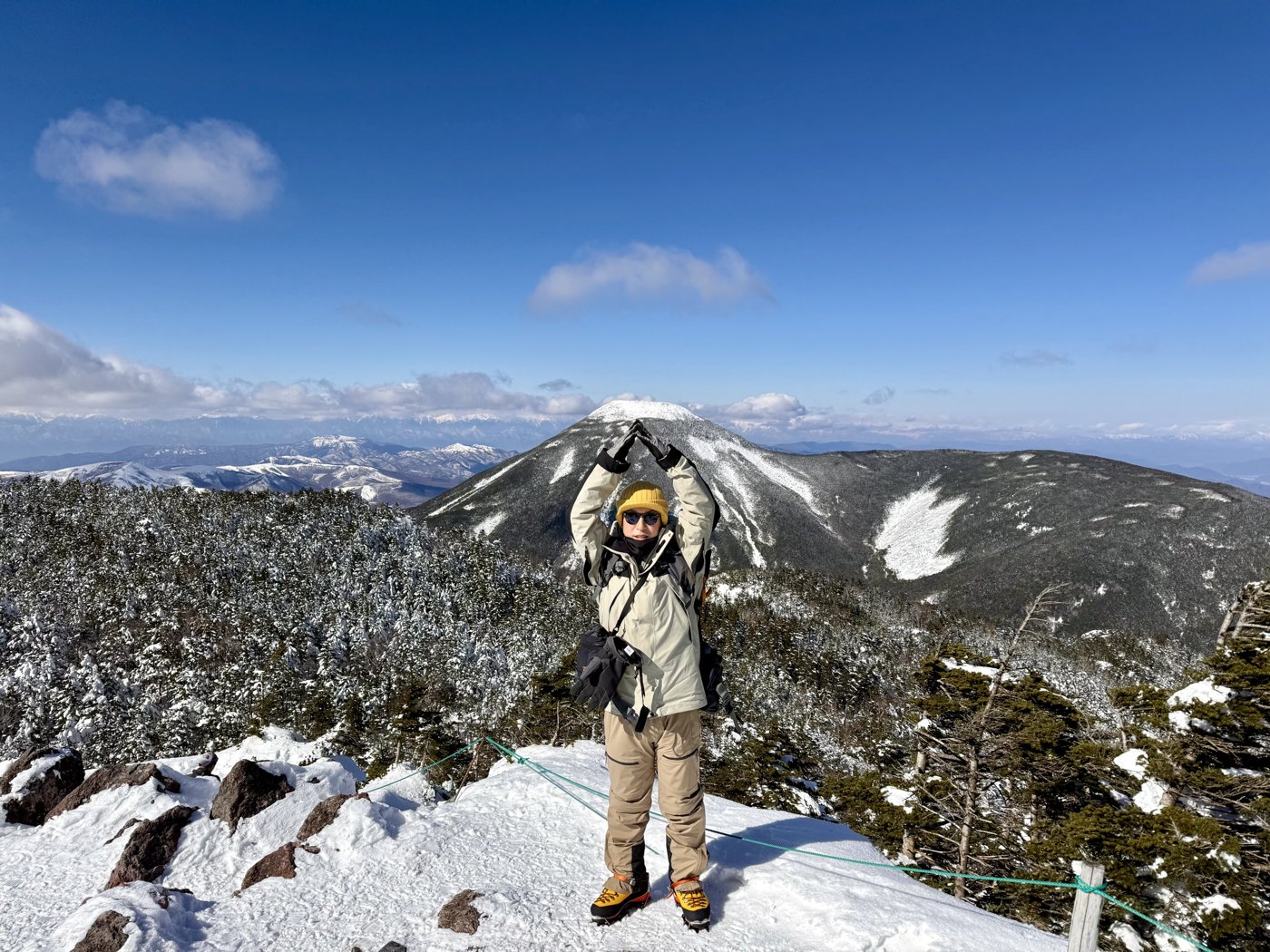
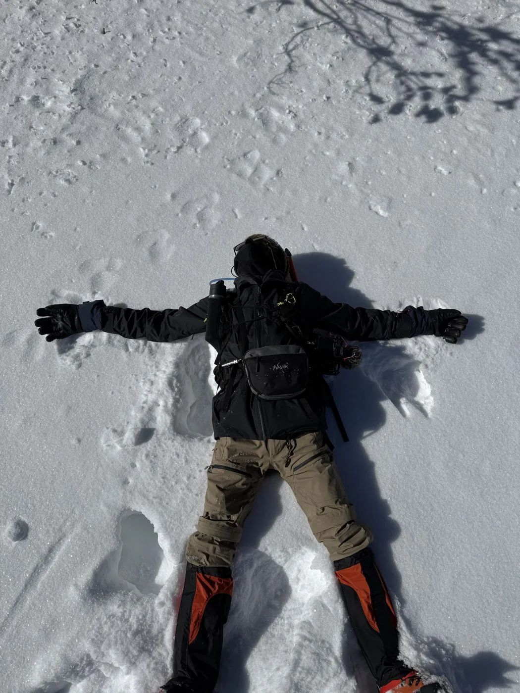
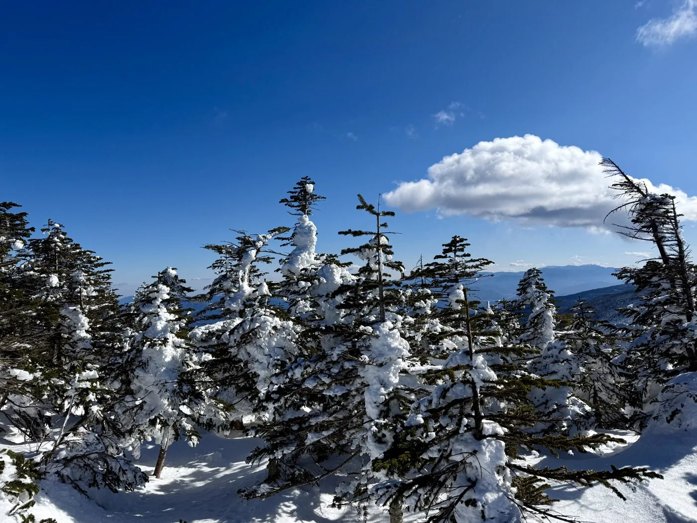
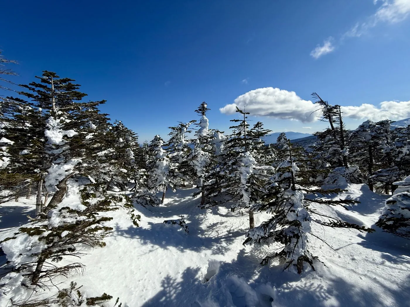
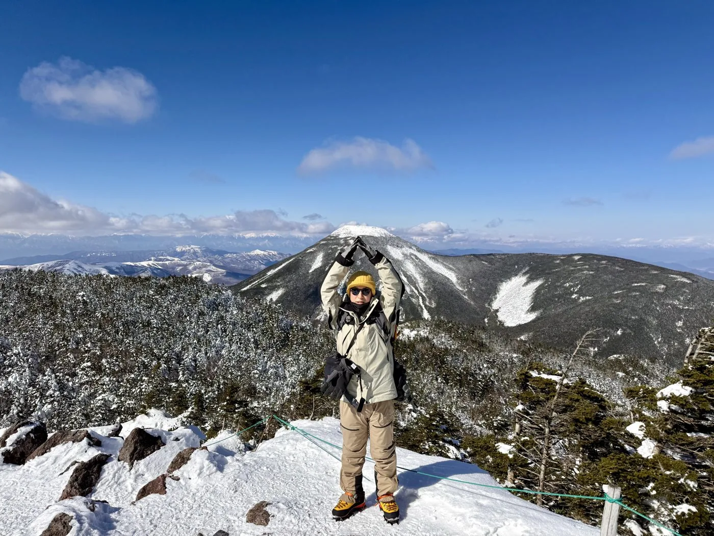
He walked it in January. Setting off from the North Yatsugatake trailhead in the morning, he climbed the snowy forest belt to the ropeway summit station and Tsuboniwa. From the lava plateau of Tsuboniwa he toured Kitayokodake Hut and Nanatsu-ike, then climbed amid rime ice and blue sky to the South and North peaks of Kitayokodake. From the summit of the North Peak spreads a grand view of neighbouring Mt. Tateshina, the Southern, Central and Northern Alps, and South Yatsugatake.
Regarding this day (January 22, 2025), the video also shares his real-time impressions. He talks about tackling this year's first snow hike together with his companion K ([video 0:56](https://www.youtube.com/watch?v=GQBRkZuzsyo&t=56s)), and also says that "a proper winter mountain is sort of a first for me" ([video 2:09](https://www.youtube.com/watch?v=GQBRkZuzsyo&t=129s)). As for the cold, he says he didn't feel it that strongly while climbing, but he also mentions the particular cold that comes with high elevation ([video 6:34](https://www.youtube.com/watch?v=GQBRkZuzsyo&t=394s), [16:59](https://www.youtube.com/watch?v=GQBRkZuzsyo&t=1019s)).
The editor's measured time, including breaks, was about 6 hours 36 minutes (07:23 departure, 11:27 summit, 13:59 descent), covering about 8.8 km with roughly 750 m of ascent. Using the ropeway it is an introductory course of about a 2-hour round trip from Tsuboniwa, but walking up from the base made it a day with the rewarding, real feel of a midwinter snow mountain.
With the ropeway, Kitayokodake is ideal for a first taste of winter mountains, but above Tsuboniwa it is a full winter mountain. Prepare crampons and warm clothing properly, and always check the last ropeway car and the weather. You can enjoy the beautiful rime ice and views of North Yatsugatake together with Mt. Shimagareyama opposite and Mt. Tateshina.
Routes
Choose your route
Via Tsuboniwa and Kitayokodake Hut (round trip using the ropeway)
Out & back
Difficulty
Beginner
Approx. time
About 2 hours round trip from Tsuboniwa (the editor did the round trip on foot from the base in 6h36m)
Day trip
Day trip · Beginner-friendly (using the ropeway)
Take the North Yatsugatake Ropeway up to Tsuboniwa (2,237 m). Circle half of the lava plateau at Tsuboniwa, climb through the forest belt, pass Kitayokodake Hut and Nanatsu-ike, and reach the South and North peaks of Kitayokodake. The elevation gain is small, and with the ropeway it is ideal as a first taste of winter mountains. In winter you can enjoy rime ice and snow hiking, but above Tsuboniwa you need winter gear such as crampons. The editor deliberately skipped the ropeway and climbed on foot from the base station to the summit station and back.
A traverse with Mt. Shimagareyama and Mt. Chausuyama
Traverse
Difficulty
Intermediate
Approx. time
Linking the peaks of North Yatsugatake with Tsuboniwa as a base
Day trip
Day trip to hut stay
Traverses centred on Tsuboniwa are also popular — linking Kitayokodake with Mt. Shimagareyama and Mt. Chausuyama that face it, and reaching on toward Mugikusa Pass and Shirakoma-ike. Using mountain huts such as Kitayokodake Hut and Shimagare Sanso as bases, you can walk the quiet forest and mossy world so typical of North Yatsugatake, amid its lava landforms and old-growth forest.
Editor's record
Editor's measured times
The editor's actual timings on this hike (from the video record). Use them as a guide to course times.
07:23Depart the North Yatsugatake trailhead (climbing on foot without the ropeway)
09:16Yatsugatake Ropeway summit station / Tsuboniwa (elevation 2,237 m)
10:30Kitayokodake Hut
10:45Nanatsu-ike (touring the snow-buried ponds)
11:16Kitayokodake (South Peak)
11:27Reach the summit of Kitayokodake (North Peak) (elevation 2,480 m; one of the main peaks of North Yatsugatake)
13:59Descend to the North Yatsugatake trailhead (round trip about 6h36m)
History & culture
History & culture
Kitayokodake is a 2,480 m mountain rising in Chino City, Nagano, and a representative peak of "North Yatsugatake," the northern part of the Yatsugatake range.
Its formal name is "Yokodake," but to distinguish it from Yokodake (2,829 m) in South Yatsugatake it is generally called Kitayokodake. The summit is a twin peak of the North Peak (2,480 m) and the South Peak (2,472 m), with the North Peak being the highest point.
The lava plateau of "Tsuboniwa" spreads out just below the summit, and because the North Yatsugatake Ropeway carries you straight up to Tsuboniwa at 2,237 m, the mountain is beloved as a peak for a first taste of winter mountaineering and snow hiking. The old-growth forest and mossy woods around Tsuboniwa, Nanatsu-ike and Kitayokodake Hut, together with Mt. Shimagareyama opposite, form a landscape representative of the volcanic terrain of North Yatsugatake.
From the summit you command a sweeping view of neighbouring Mt. Tateshina, the Southern, Central and Northern Alps, and the main ridge of South Yatsugatake.
Photos
Photos from the trail
All photos were taken by the editor on the actual hike. Tap to enlarge.
Because the North Yatsugatake Ropeway takes you up to Tsuboniwa (2,237 m), the elevation gain from there to Kitayokodake is small, and it is popular as a peak for a first taste of winter mountaineering and snow hiking. In the snow-free season of course, but even in winter — if you properly prepare crampons and warm clothing — it is known as a mountain where beginners can enjoy the winter views. That said, above Tsuboniwa it is a full winter mountain, so checking your gear and the weather is essential.
Can you climb it without using the ropeway?
In January 2025 the editor deliberately skipped the ropeway and climbed on foot from the base station (the North Yatsugatake trailhead) up to the summit station and Tsuboniwa, doing the round trip of Kitayokodake. The measured figures are about 8.8 km, roughly 750 m of ascent, and 6 hours 36 minutes of moving time. Climbing on foot adds elevation gain and distance, and in the snow it takes commensurate fitness and time. In general, using the ropeway is the easy and recommended option.
What are the views from the summit like?
Kitayokodake is a twin peak of the North and South peaks, with the North Peak being the highest point (2,480 m). From the summit you look out widely over neighbouring Mt. Tateshina, the Southern, Central and Northern Alps, and the main ridge of South Yatsugatake. In winter the contrast of rime ice and blue sky is beautiful, and you can enjoy the views so typical of North Yatsugatake.
What kind of places are Tsuboniwa and Nanatsu-ike?
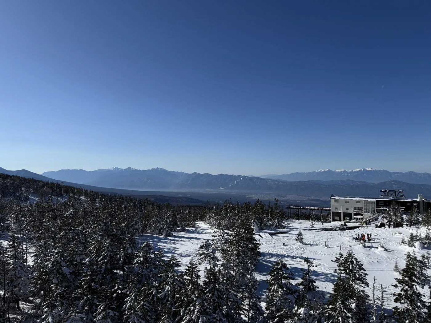
Tsuboniwa is a lava plateau spreading out in front of the ropeway summit station, a landscape representative of North Yatsugatake, coloured by old-growth forest, rock and creeping pine. Near Kitayokodake Hut lies Nanatsu-ike, covered in snow and ice in winter. Together with Mt. Shimagareyama opposite, they let you easily savour the volcanic terrain of North Yatsugatake and its world of moss and old-growth forest.