Mt. Kinpu Hiking Guide | From Mizugaki Sanso to Gojoiwa — course times and views
Difficulty & route
Intermediate
The lord of the Okuchichibu main ridge, a 2,599 m peak among the 100 Famous Japanese Mountains. From Mizugaki Sanso via Fujimidaira, Dainichi-iwa and Sunaharai-no-Atama to Gojoiwa, the rock symbol of the summit. Beyond the tree line lies a ridge of sweeping views.
金峰山2,599m
Elevation
2,599m
Course time
Round trip from Mizugaki Sanso — about 8 hours 27 minutes (editor's measured time, incl. breaks)
Best season
June to October (from midsummer to autumn colours). In the lingering-snow season (April–May) snow remains on the upper trail, so light crampons or chain spikes are needed.
Distance
11km
Total ascent
1,178m
Parking
Mizugaki-yama prefectural free car park (next to Mizugaki Sanso). This is a popular mountain, and on weekends the park can fill up early in the morning.
0:00Elapsed0.0km1,535m
Elevation profileEditor's measured GPX · surface distance11.05kmRoute overviewEditor's measured GPS route on the GSI base map ·11.05km
Source: GSI tiles (Geospatial Information Authority of Japan) / The route is the editor's measured YAMAP activity track (GPX).Some sections have GPS-log gaps, shown as dashed (estimated straight) lines.Scroll-zoom is enabled after you click the map.
Location & access
TrailheadMizugaki-yama prefectural free car park (Mizugaki Sanso)/Hishi, Sudama-cho, Hokuto City, Yamanashi35.8787, 138.5799Open in Google Maps →
AccessBy car: from Sudama IC on the Chuo Expressway via the Hontani-Kamase forest road to the Mizugaki-yama prefectural car park (Hokuto City). There is also a shortest route from Oedaruma Pass on the Nagano side, but the editor hikes from the Mizugaki Sanso trailhead.
Coordinates are the trailhead and summit points from the editor's own GPS track.
Watch
Watch this hike on video
Editor's note
Editor's note
編集長
Climbed on:2026-09-17
Mt. Kinpu is a 2,599 m peak among the 100 Famous Japanese Mountains, rising near the centre of the Okuchichibu main ridge. With the great granite rock of Gojoiwa standing at its summit as its symbol, it is one of the few open peaks in Okuchichibu where sweeping views spread beyond the tree line. Loved alongside Mt. Mizugaki from the editor's home town of Hokuto, this is a mountain I sorted out by actually climbing it.
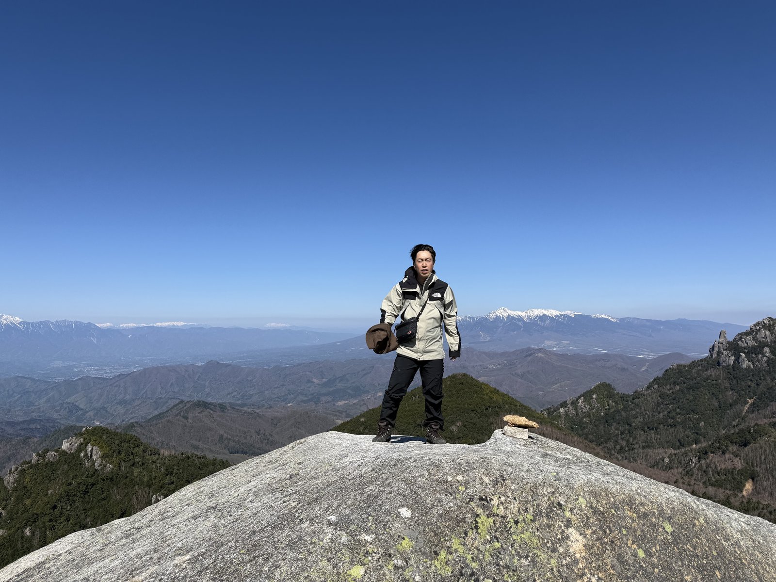
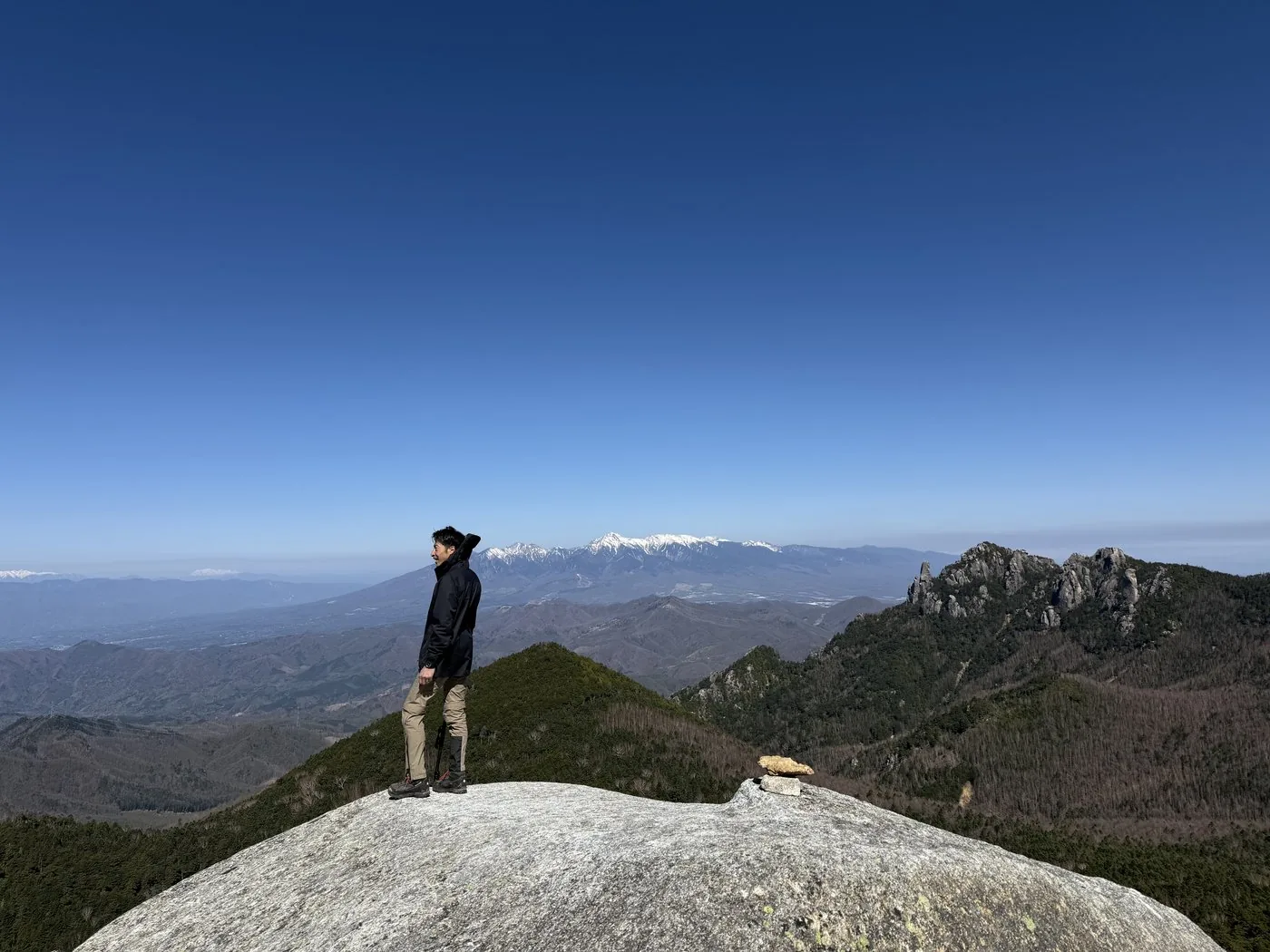
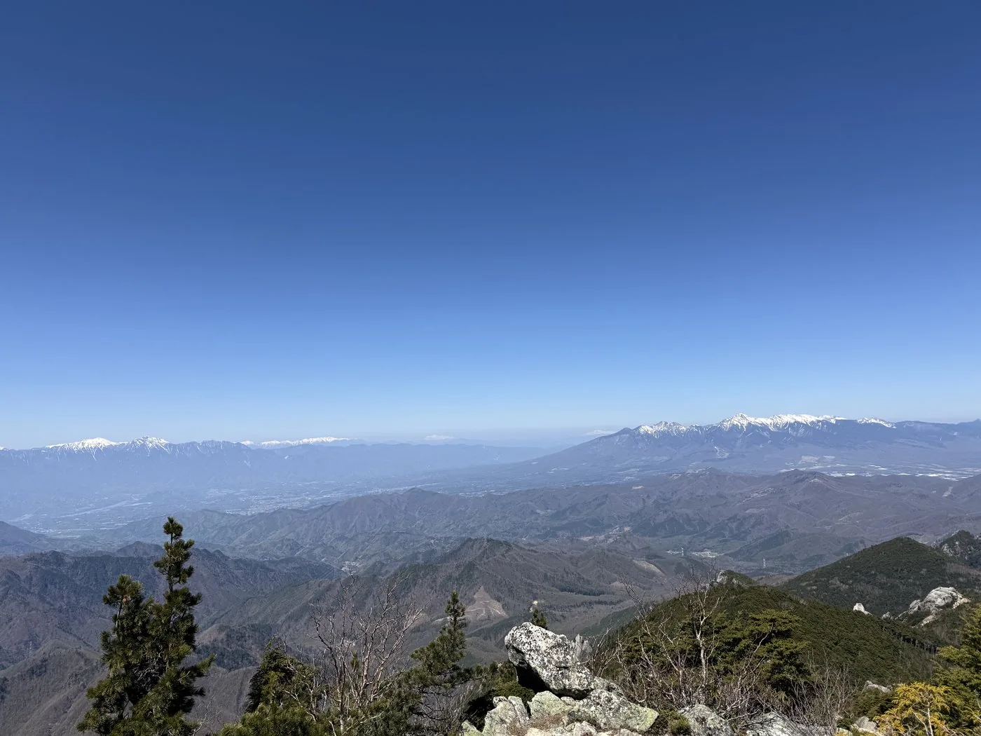
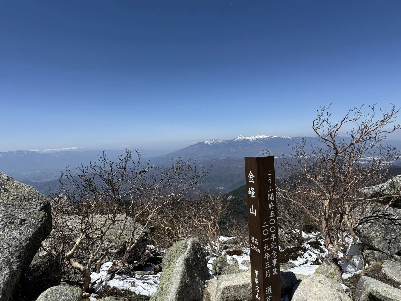
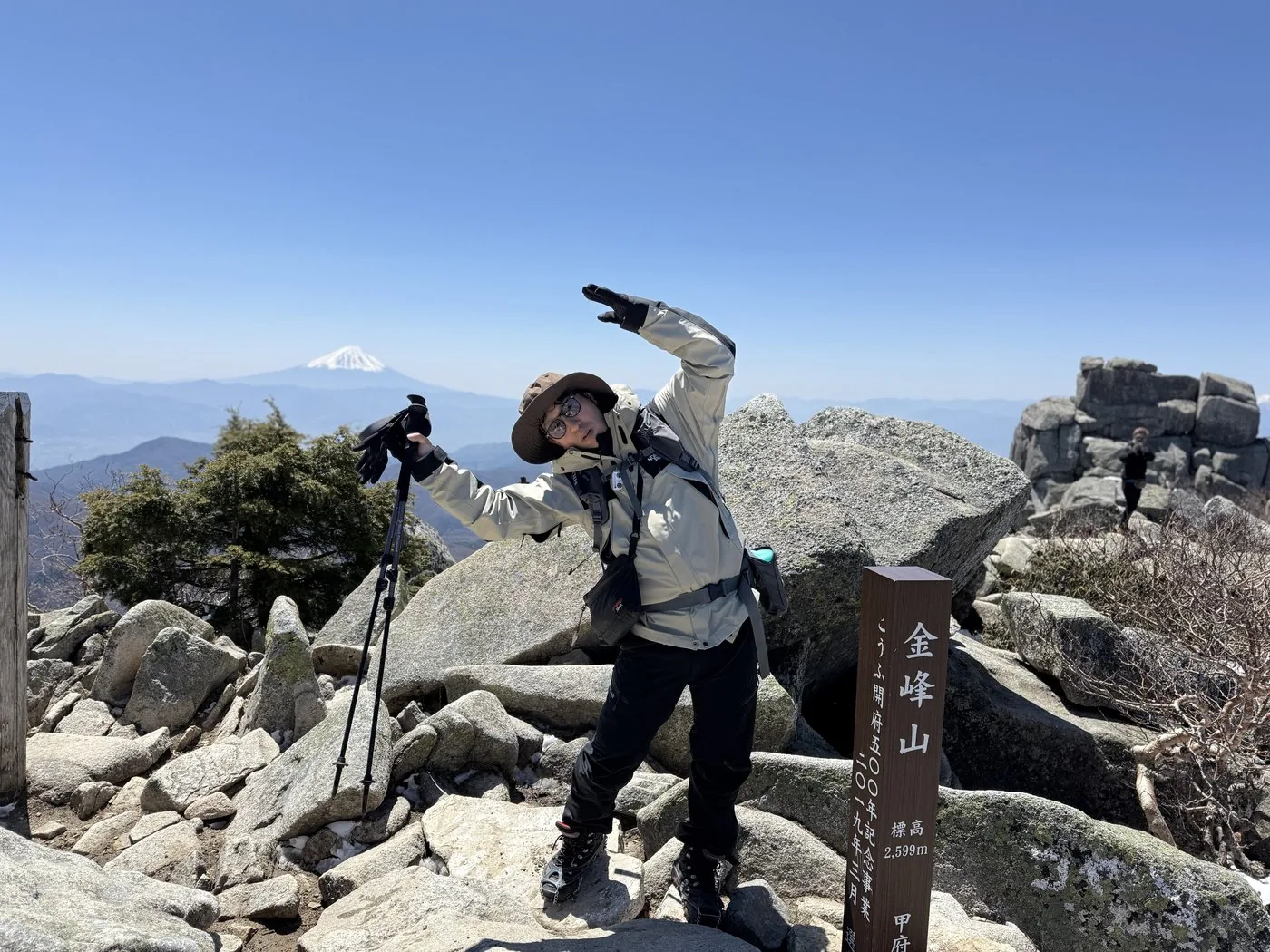
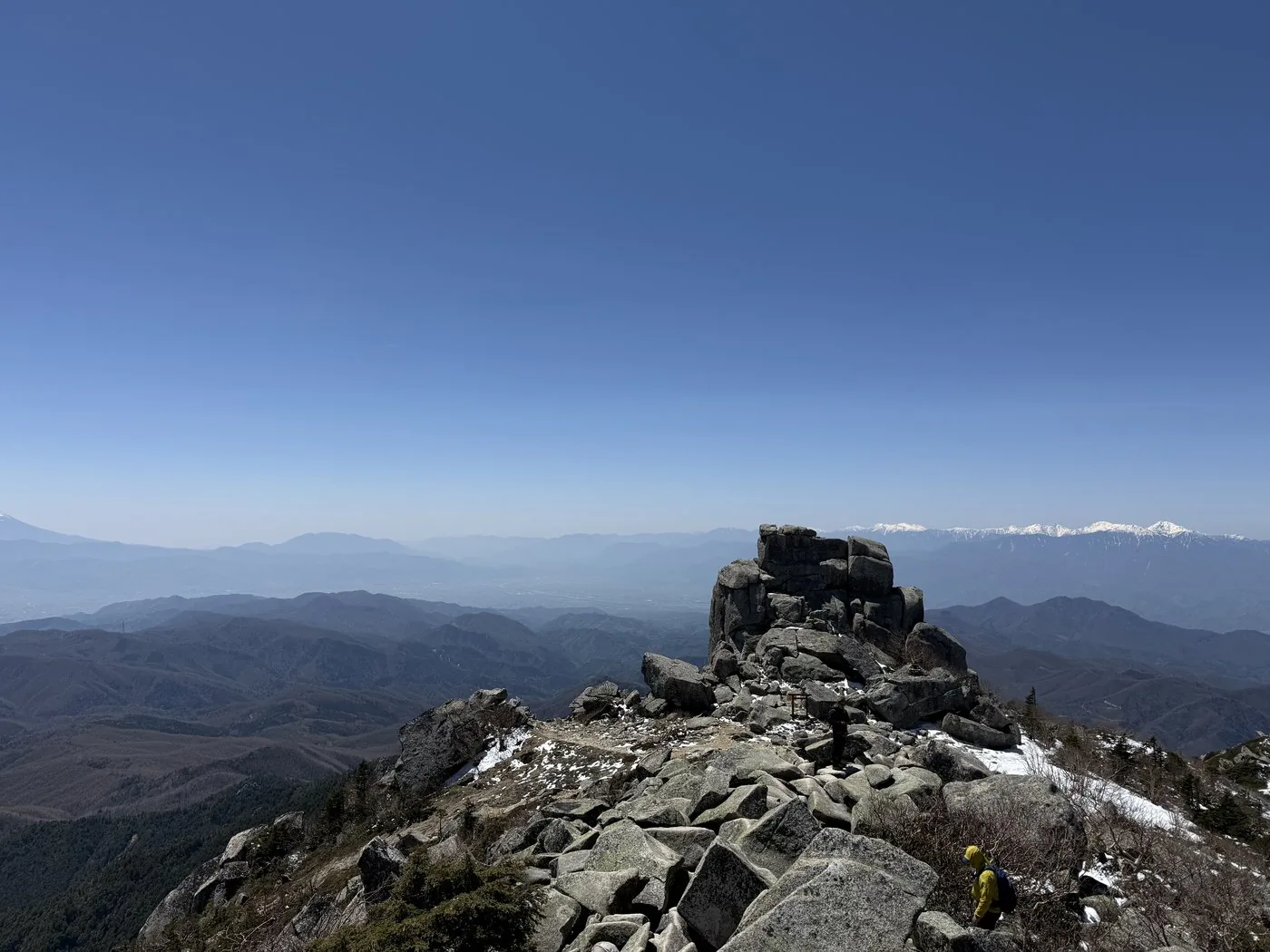
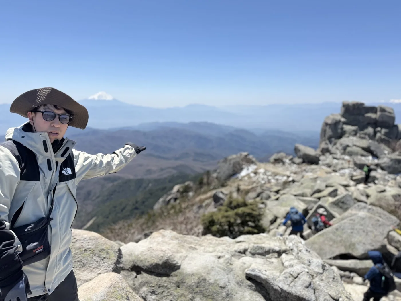
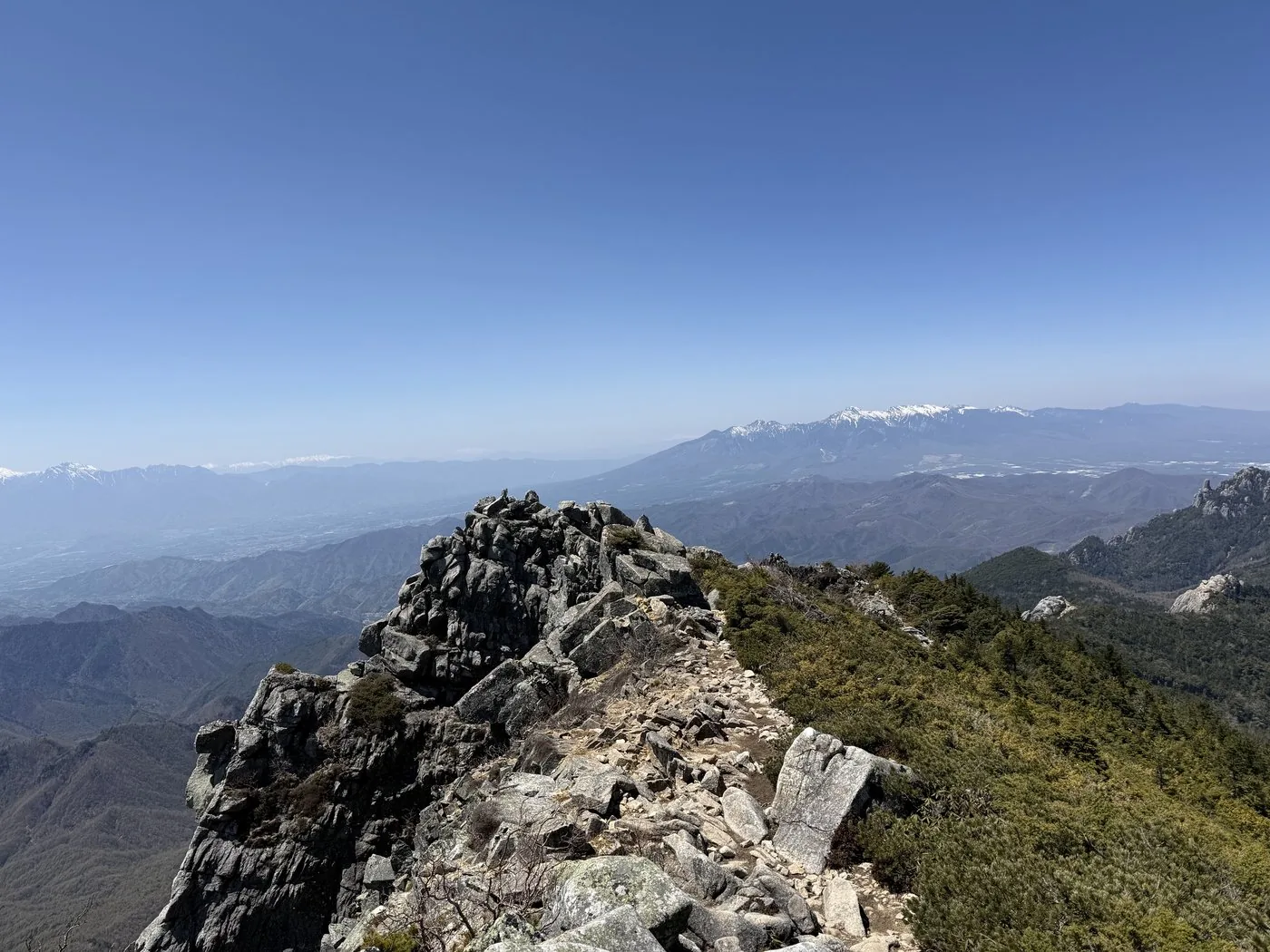
I walked it at the end of April, in the lingering-snow season. Starting from Mizugaki Sanso, the same trailhead as for Mt. Mizugaki, I went from Fujimidaira to Dainichi-iwa and Sunaharai-no-Atama. Once above the tree line, it became a ridge walk with views of the Southern Alps, Mt. Fuji and Yatsugatake beyond the Kofu Basin. Snow still lingered up high, and chain spikes came in handy. When I reached the summit crowned by Gojoiwa, an openness you would not expect in Okuchichibu was waiting.
You can also see this stretch of the 30 April 2025 hike on video. Near Fujimidaira, I say in the video, 'I wonder if we'll see Mt. Fuji this time' ([Video 1:34](https://www.youtube.com/watch?v=8VYHf_a48Gw&t=94s)). There is also a scene passing in front of Dainichi-goya ([Video 5:02](https://www.youtube.com/watch?v=8VYHf_a48Gw&t=302s)). There is a junction along the way, and the video shows a scene checking it ([Video 7:26](https://www.youtube.com/watch?v=8VYHf_a48Gw&t=446s)).
The editor's measured time was about 8 hours 27 minutes including breaks (depart 06:07, summit 10:55, down 14:35), a long day of about 11 km in distance. On the way back I made a loop via Mt. Maruyama. For an easier climb there is also the shortest route from Oedaruma Pass on the Nagano side, but the sense of achievement in gaining height step by step from Mizugaki Sanso and emerging onto the ridge is exceptional.
It is a long distance, and in the lingering-snow season take care of the snow and ice up high. Make sure to start early, dress warmly and plan with time to spare. Gojoiwa is a sacred body of worship and climbing it is dangerous, so rather than forcing your way up, it is best to look up at it. Pair it with Mt. Mizugaki and enjoy western Okuchichibu to the full.
Routes
Choose your route
Mizugaki Sanso route (via Fujimidaira and Dainichi-iwa)
Out & back / loop
Difficulty
Intermediate
Approx. time
About 8h27m (editor's measured time) / standard about 7–8 hours
Day trip
Day trip possible · for strong walkers (or stay at Fujimidaira / Dainichi-goya)
Starting from Mizugaki Sanso, the same trailhead as for Mt. Mizugaki, you head from Fujimidaira toward Mt. Kinpu. Passing Dainichi-iwa and Sunaharai-no-Atama, you cross the tree line and follow a rocky ridge of sweeping views to the summit crowned by Gojoiwa. It is long, with a lot of elevation gain, so it suits strong walkers, though there is little technical difficulty at its core. The editor made a loop on the way back via Mt. Maruyama.
Oedaruma Pass route (shortest)
Out & back
Difficulty
Intermediate
Approx. time
Round trip about 4–5 hours
Day trip
Suited to a day trip · beginner to intermediate
Because you can drive up to Oedaruma Pass (about 2,360 m) on the Nagano side, the elevation gain is small, making this the shortest route to Mt. Kinpu. You cross Mt. Asahi to the summit. It is easier than the route from Mizugaki Sanso and is also good as an introduction (the forest road is closed in winter).
History & culture
History & culture
Mt. Kinpusan is a 2,599 m mountain rising near the centre of the Okuchichibu main ridge, one of the 100 Famous Japanese Mountains. It sits on the border of Yamanashi and Nagano prefectures and, on the Yamanashi side, has also been called 'Koshu Ontakesan'.
The huge granite rock of Gojoiwa standing at the summit has long been an object of worship, enshrined as a sacred body. Kanazakura Shrine on the Yamanashi side and Kinpu Shrine on the Nagano side have each revered Mt. Kinpu as a sacred mountain.
It is one of the few mountains in Okuchichibu where you rise above the tree line to a wide open view, and on a clear day you can see all the way to Mt. Fuji, the Southern Alps and Yatsugatake. It is often traversed from Mizugaki Sanso, the same trailhead as Mt. Mizugaki, and can be climbed in a relatively short time from Oedaruma Pass on the Nagano side.
Photos
Photos from the trail
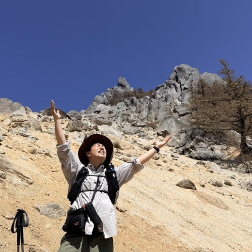
All photos were taken by the editor on the actual hike. Tap to enlarge.
From Mizugaki Sanso it is a long day of about 11 km with over 8 hours of moving time, suited to strong walkers. There are few technical difficulties, but it takes stamina. For an easier climb, the out-and-back route from Oedaruma Pass on the Nagano side (small elevation gain, about 4–5 hours) suits beginners to intermediates too.
Can you climb it together with Mt. Mizugaki?
Because they share the same starting points at Mizugaki Sanso and Fujimidaira, Mt. Mizugaki and Mt. Kinpu are two peaks often planned as a set. Covering both in a single day is a long haul, so it is also common to split them by staying overnight in a hut or tent at Fujimidaira or Dainichi-goya.
Can you climb Gojoiwa?
Gojoiwa is a huge granite rock standing at the summit and has long been a sacred body. Climbing it risks a fall, so please avoid forcing your way up. Even looking up at it from below conveys its power as the symbol of Mt. Kinpu.
Can you climb it in the lingering-snow season or in winter?
Even at the end of April when the editor walked it, snow lingered on the upper trail, and light crampons or chain spikes were needed. Above the tree line the wind is strong, and in winter it becomes a full alpine snow climb. Depending on your gear and experience, it is safest to start in the snow-free season.