Nyu (にゅう) Hiking Guide | An 8-hour loop from Shibunoyu — a rocky peak paired with Shirakoma-ike
Difficulty & route
Intermediate
Nyu (2,352 m), a rocky peak of the North Yatsugatake. A loop from Shibunoyu via Kuroyuri Hütte and Nakayama-toge, over the highest point at Nakayama Viewpoint, enjoying the rocky summit and the view of Shirakoma-ike.
中山展望台2,459m
にゅう2,352m
Elevation
2,352m
Course time
A loop from Shibunoyu — about 8 hours 4 minutes (the editor's measured time in the residual-snow season, incl. breaks)
Best season
June to October (fresh greenery through autumn colours; combine it with Shirakoma-ike). In the residual-snow and midwinter seasons, come prepared for snow-mountain gear and trail-breaking (russell).
Distance
11.8km
Total ascent
856m
Parking
Hikers' car park at Shibunoyu (Shibu Gotenyu).
0:00Elapsed0.0km1,846m
Elevation profileEditor's measured GPX · surface distance11.84kmRoute overviewEditor's measured GPS route on the GSI base map ·11.84km
LocationChino City, Nagano, and Koumi Town, Minamisaku District (Yatsugatake range / North Yatsugatake)
TrailheadShibunoyu (Shibu Gotenyu)/Chino City, Nagano (Shibunoyu)36.0362, 138.3277Open in Google Maps →
AccessBy car: from Suwaminami IC or Suwa IC on the Chuo Expressway to the car park at Shibunoyu (Shibu Gotenyu). Beware of icy roads in winter. You can also start from the Kita-Yatsugatake Ropeway or the Shirakoma-ike side.
Coordinates are the trailhead and summit points from the editor's own GPS track.
Watch
Watch this hike on video
Editor's note
Editor's note
編集長
Climbed on:2026-09-25
Nyu (にゅう / ニュウ) is a rocky peak of 2,352 m rising to the west of Shirakoma-ike in the North Yatsugatake. Its rocky summit, jutting out neatly amid the forested North Yatsugatake, is a landmark, and it is a popular mountain to enjoy together with the moss forest and Shirakoma-ike. The Hokuto editor walked it and set it in order, starting from Shibunoyu — the same base as for Tengudake.
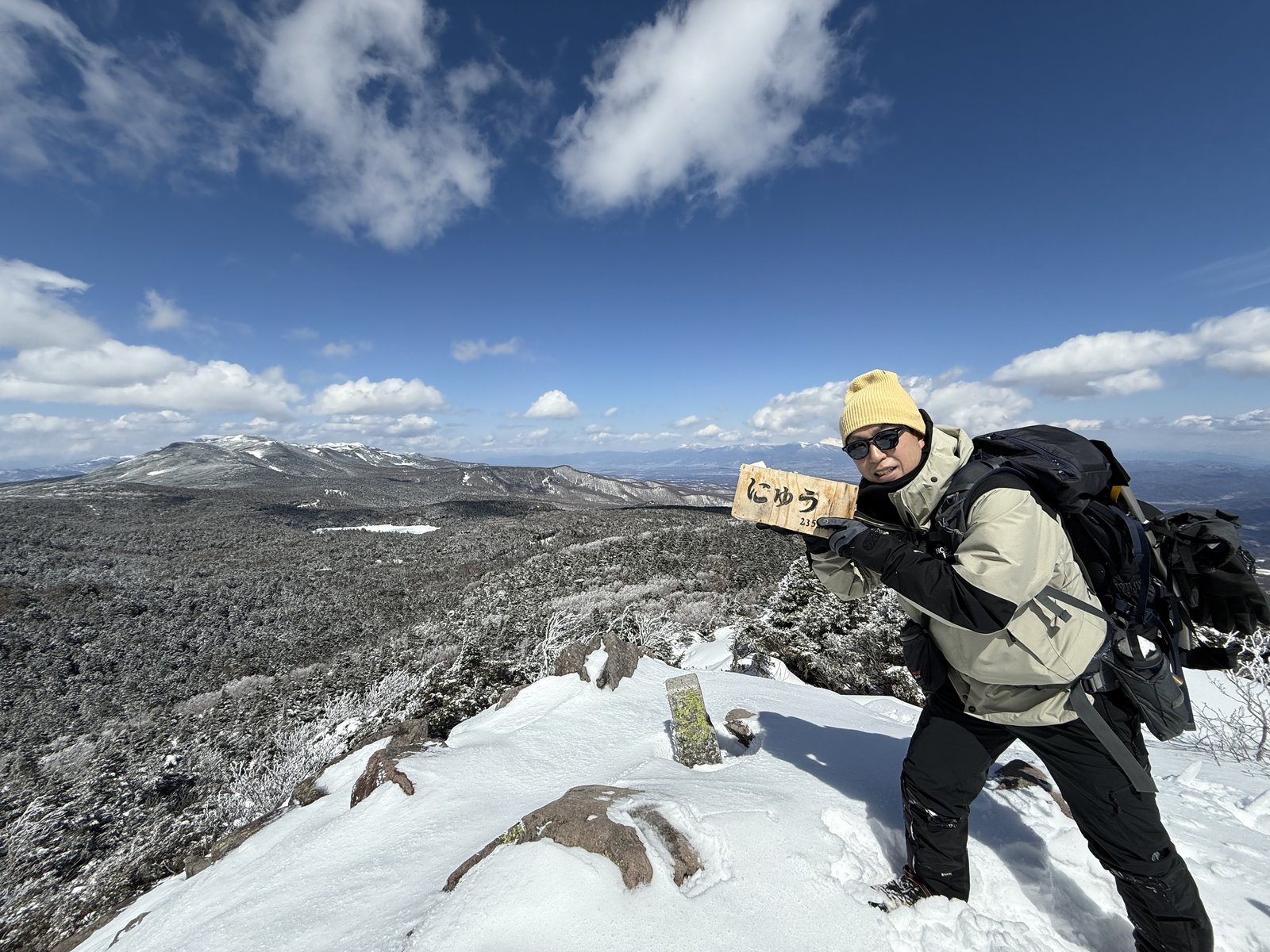
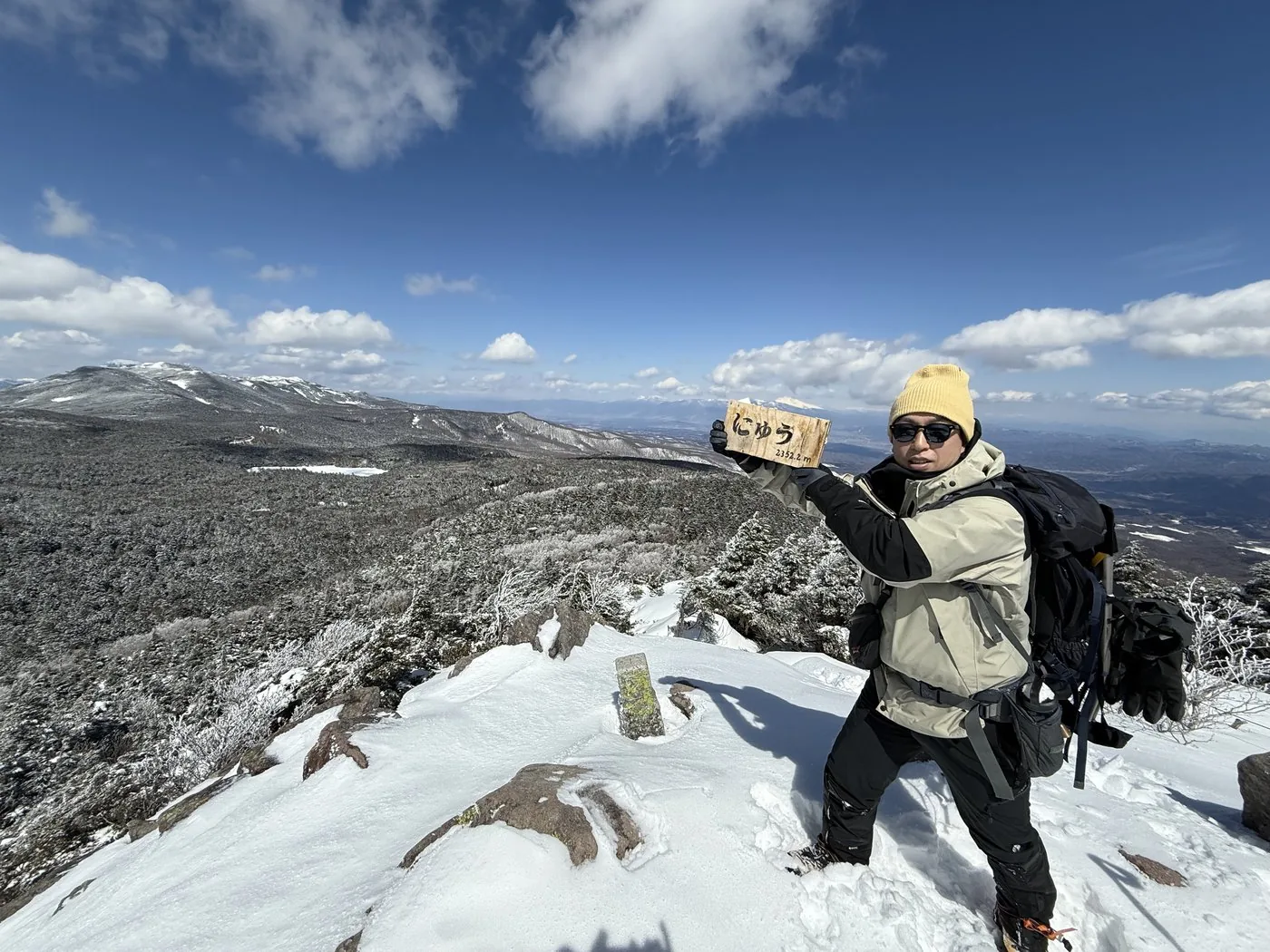
He walked it in March, in the residual-snow season. From Shibunoyu, by way of Kuroyuri Hütte and Nakayama-toge, over the highest point of the loop — Nakayama Viewpoint (about 2,459 m) — and on to the rocky peak of Nyu. The deep-snow trail-breaking was quite a challenge, while standing on the summit rocks the view opened up to Tengudake just to the west, the pure-white Shirakoma-ike at his feet, and the grand panorama of the North Yatsugatake.
The editor's measured time was about 8 hours 4 minutes including breaks (departing 06:53, Nyu at 11:54, descending at 14:57), a loop of about 11.8 km. Climb from the Shirakoma-ike side in the snow-free season and the elevation difference is small — also recommended as an introduction to the North Yatsugatake. It is a peak quintessential of the North Yatsugatake, with rock, moss and pond all together.
The climb up Nyu itself is gentle, but the summit is a rocky peak. Take care on the rocky ground and in strong wind. The loop from Shibunoyu is long, and in the residual-snow season trail-breaking and snow-mountain gear are assumed. In the North Yatsugatake the paths cross one another and the forest limits the views, so be sure to check your route with a map and GPS. Take your time and enjoy it together with Shirakoma-ike.
Routes
Choose your route
The Shibunoyu route (a loop via Kuroyuri Hütte and Nakayama-toge)
Loop
Difficulty
Intermediate
Approx. time
About 8h4m (the editor's measured time in the residual-snow season) / about 6h standard in the snow-free season
Day trip
Day trip possible; also as a stay at Kuroyuri Hütte
Starting from Shibunoyu, you head for Kuroyuri Hütte and Nakayama-toge, cross Nakayama Viewpoint (2,459 m), stand on the rocky peak of Nyu, and then loop back to Shibunoyu by way of Takamiishi on the Shirakoma-ike side. It is on the longer side, and in the residual-snow season the editor walked, he struggled with deep-snow trail-breaking. The climb up Nyu itself is gentle, and you can enjoy the forest, rocks and ponds of the North Yatsugatake all at once.
The Shirakoma-ike route (from Mugikusa-toge / Shirakoma-ike)
Out & back
Difficulty
Beginner
Approx. time
From half a day from Shirakoma-ike
Day trip
Can be climbed in a short time
The shortest eastern route, thrusting up to Nyu from the Shirakoma-ike car park along National Route 299 (the Märchen Highway), passing the moss forest and Shirakoma-ike. The elevation difference is small, making it suitable as an introduction to the North Yatsugatake. It is a popular course letting you enjoy the rocky peak of Nyu and Shirakoma-ike together.
Editor's record
Editor's measured times
The editor's actual timings on this hike (from the video record). Use them as a guide to course times.
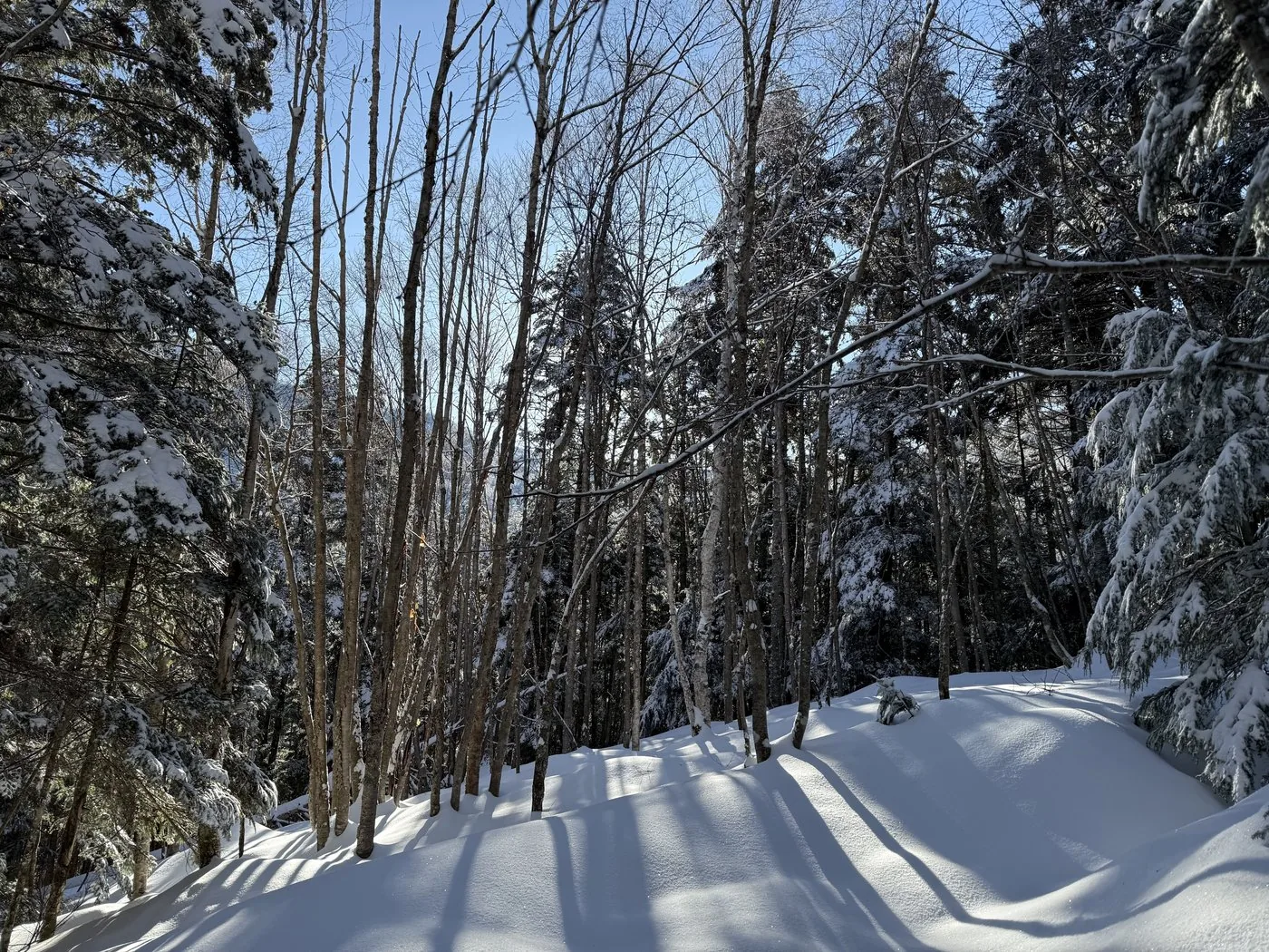
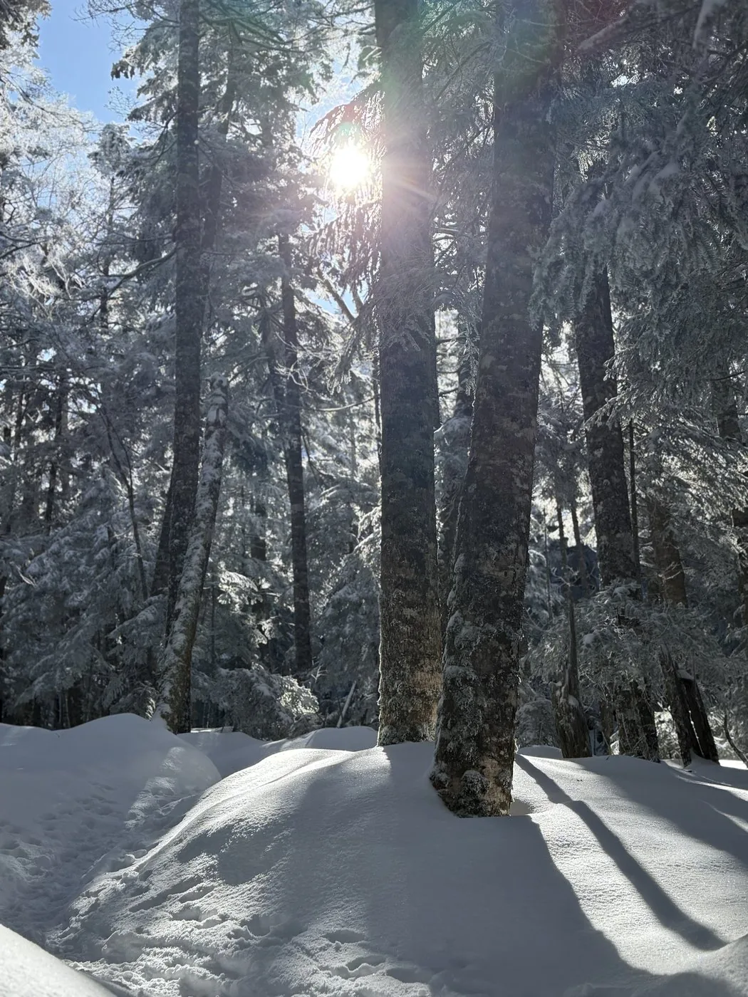
06:53Depart Shibunoyu (into the snowy forest belt)
09:23Kuroyuri Hütte (the junction at Nakayama-toge)
10:29Nakayama Viewpoint (about 2,459 m). The highest point of the loop, where the view opens up
11:54Reach the rocky peak of Nyu (elevation 2,352 m)
13:47Takamiishi (looking down on Shirakoma-ike)
14:57Descend to Shibunoyu (loop, about 8h4m)
History & culture
History & culture
Nyu (にゅう / ニュウ) is a rocky peak of 2,352 m rising to the west of Shirakoma-ike in the North Yatsugatake. It sits on the boundary between Koumi Town and Chino City in Nagano Prefecture, and its rocky summit, jutting out neatly amid the forested North Yatsugatake, serves as a landmark.
There are various theories about the origin of this unusual mountain name; one well-known account holds that it comes from the resemblance of the peak's shape to a 'nyu' (nio), a stack of harvested rice sheaves. In kanji it has also been written as '乳' and '入', among others.
At its foot spread one of Japan's foremost high-moor ponds, Shirakoma-ike, and a lush green moss forest. Standing on the summit rocks, the view opens up to Tengudake just to the west, Shirakoma-ike at your feet, and as far as Mt. Asama and the Oku-Chichibu range in the distance — making it beloved as one of the few fine viewpoints even within the largely forested North Yatsugatake.
Photos
Photos from the trail
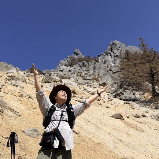
All photos were taken by the editor on the actual hike. Tap to enlarge.
The shortest route, climbing from Shirakoma-ike on the east side, has a small elevation difference and suits an introduction to the North Yatsugatake. The summit is a rocky peak so there is a last short climb, but in the snow-free season there are not many difficult spots. The residual-snow loop from Shibunoyu that the editor walked required intermediate-or-above fitness in both distance and snow.
What is the origin of the name 'Nyu'?
There are various theories, but a well-known one holds that it comes from the resemblance of the peak's shape to a 'nyu' (nio), a stack of harvested rice sheaves. In kanji it has also been written as '乳' and '入'. The reading is 'Nyu'.
Can you visit it together with Shirakoma-ike?
Yes. Nyu is just to the west of Shirakoma-ike, and it is popular to tour the moss forest, Shirakoma-ike and the rocky peak of Nyu as a set. On the way round, the editor too looked down toward Shirakoma-ike from Takamiishi. Starting from the Mugikusa-toge / Shirakoma-ike car park, you can enjoy it in a short time.
Can you climb it in the residual-snow season or in winter?
You can, but it is a snow mountain. In March, when the editor walked it, the deep snow made trail-breaking a struggle. Snow-mountain gear such as crampons and an ice axe, plus experience, are needed. In the North Yatsugatake the paths cross one another and the forest limits the views, so be sure to check your route with a map and GPS.