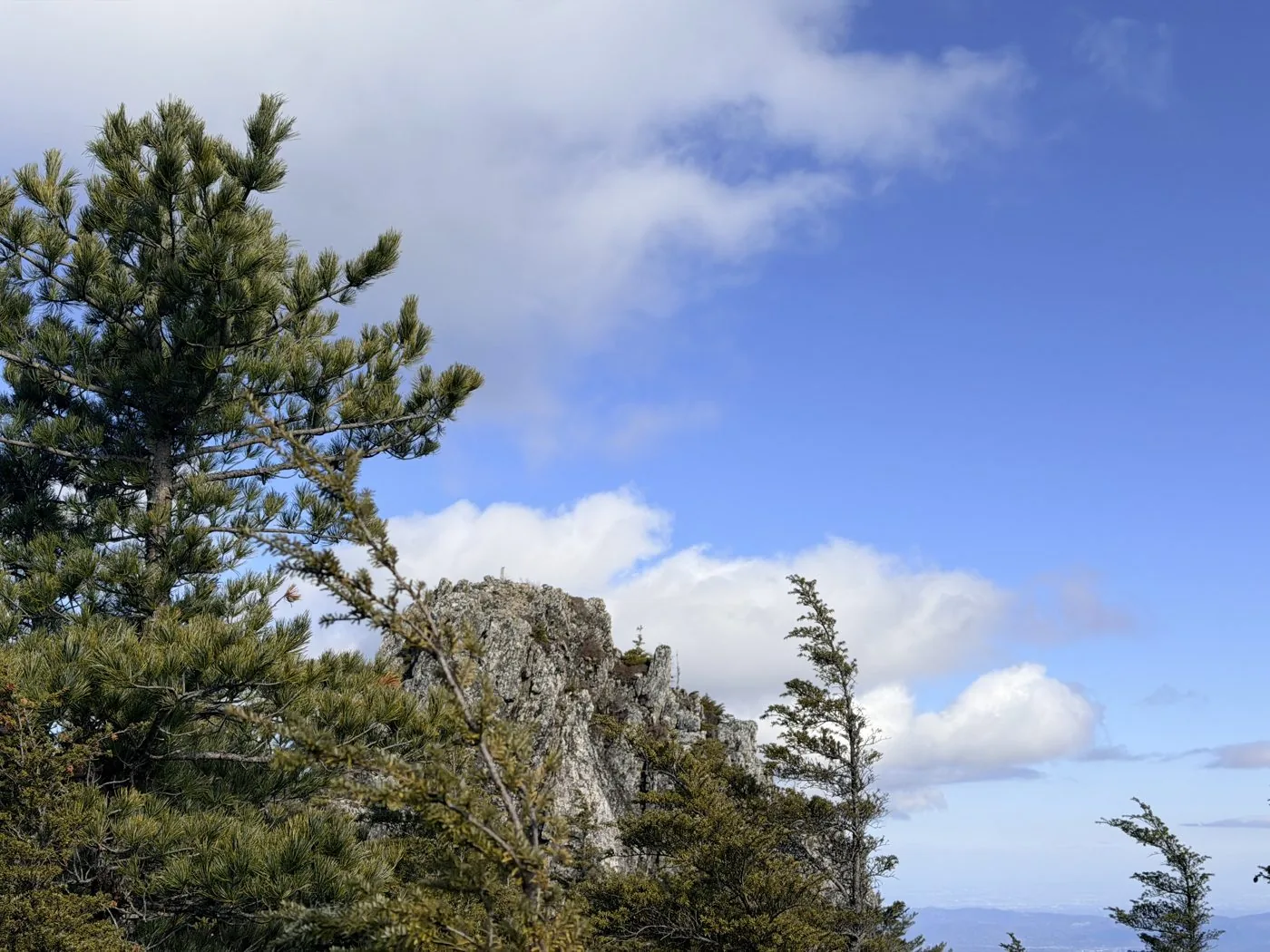
Mt. Kobushigatake Hiking Guide | Loop course times from Mokidaira and the Chikumagawa source
Difficulty & route
Intermediate
The lord of the Okuchichibu main ridge, standing at the border of Kai, Musashi and Shinano at 2,475 m — one of the 100 Famous Mountains. A loop from Mokidaira that follows the source of the Chikumagawa (Shinanogawa) River over Kobushigatake and Sanposan.
三宝山2,483m
甲武信ヶ岳2,475m
Elevation
2,475m
Course time
A loop from Mokidaira — about 8 hours 31 minutes (editor's measured time, incl. breaks, traversing Sanposan and other peaks)
Best season
June to October (fresh greenery to autumn colours; the source waters and the mossy forest). From late autumn to spring beware of sub-zero temperatures and lingering snow.
Distance
15.2km
Total ascent
1,331m
Parking
Car park at Mokidaira (free). It can fill up early in the morning on weekends.
0:00Elapsed0.0km1,463m
Elevation profileEditor's measured GPX · surface distance15.27kmRoute overviewEditor's measured GPS route on the GSI base map ·15.27km
LocationThe border of Yamanashi, Saitama and Nagano (Okuchichibu, main ridge)
TrailheadMokidaira car park/Kawakami Village, Minamisaku District, Nagano35.9542, 138.7111Open in Google Maps →
AccessBy car: to Mokidaira in Kawakami Village, Nagano, from Sutama IC on the Chuo Expressway, or via the Kan-etsu Expressway. Public transport is limited, so travelling by car is the realistic option.
Coordinates are the trailhead and summit points from the editor's own GPS track.
Watch
Watch this hike on video
Editor's note
Editor's note
編集長
Climbed on:2026-07-02
Kobushigatake is one of the 100 Famous Mountains, standing at 2,475 m at the border of the three provinces of Kai (Yamanashi), Musashi (Saitama) and Shinano (Nagano). It is the lord of the same Okuchichibu main ridge as Mizugaki and Kinpusan, and it is also the watershed that is the source of the three great rivers of the Chikumagawa (Shinanogawa), the Arakawa and the Fuefukigawa. The Hokuto editor actually walked the loop that follows the source of the Chikumagawa, and organises it here.
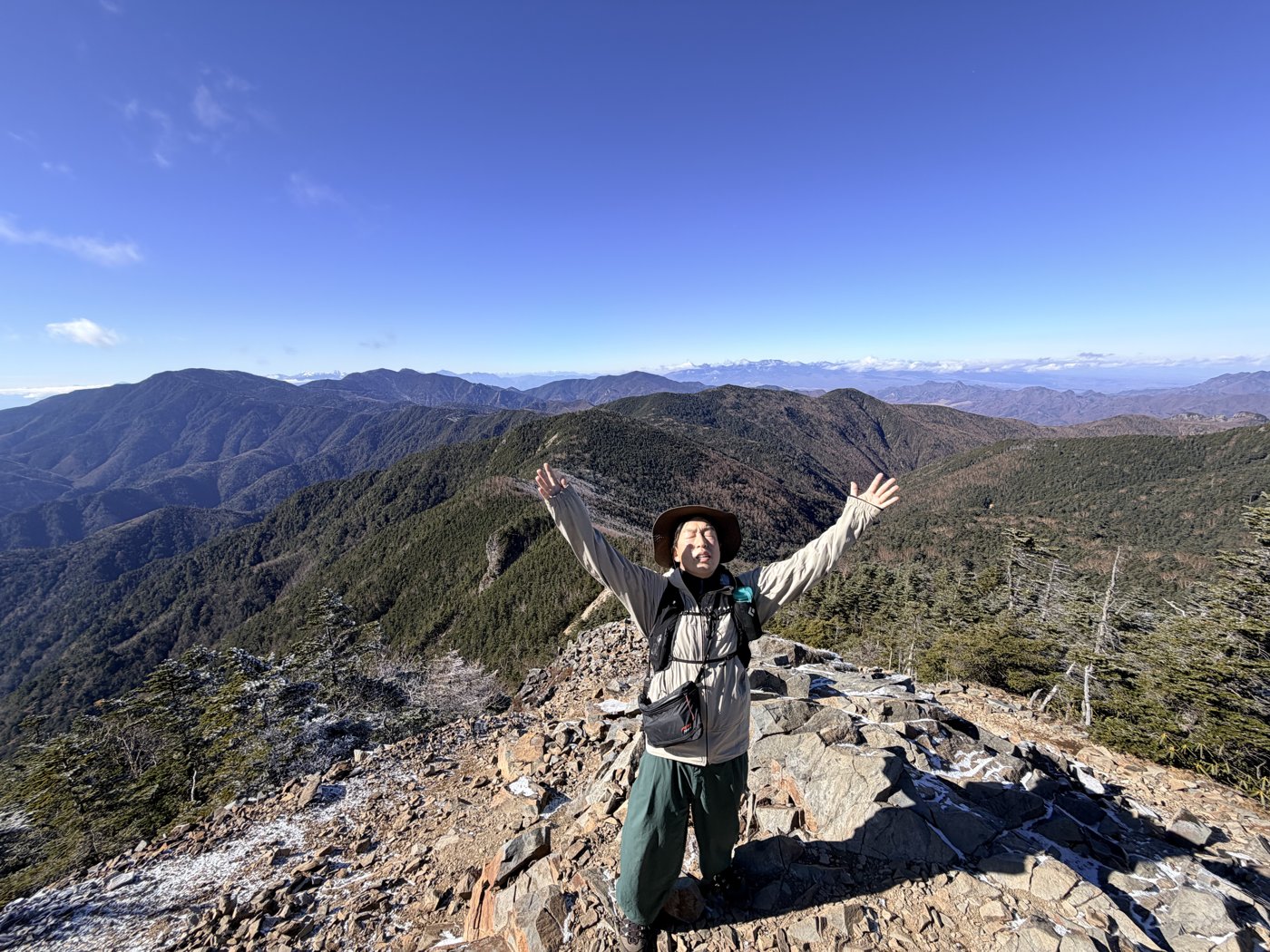
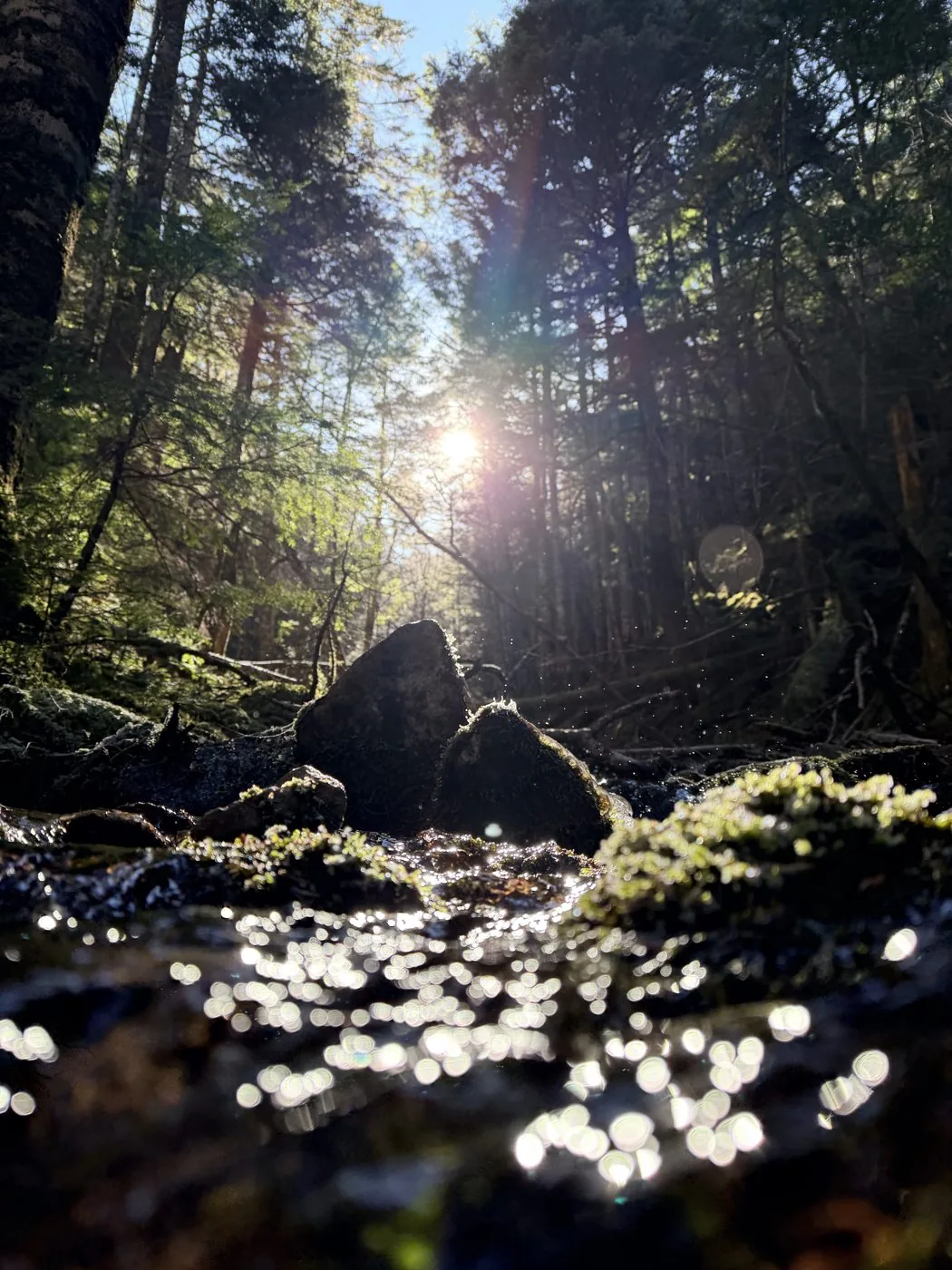
I walked it in late November. From Mokidaira on the Nagano side, I climbed through the deep forest of Veitch fir and moss while watching the Name Falls and the 'very first drop' of the Chikumagawa source. In the cold air of frost and sub-zero temperatures all day, I reached the summit of Kobushigatake. Then I crossed over Sanposan (2,483 m; the highest peak in Saitama Prefecture and the high point of this route) just to the north, and looped on via Bushinshiraiwayama and Oyama to Jumonji Pass.
The editor's measured time was about 8 hours 31 minutes including breaks (departing 07:01, summit 10:39, down 15:31), for about 15.2 km. With many ups and downs, he struggled a little on what he had intended to finish within 7 hours. Rather than views, this is a peak for savouring the source waters, the deep forest and the quiet mountain walking that is so like Okuchichibu.
It is a loop for the fit, long and with many ups and downs. Be thorough about an early start, and from late autumn to spring prepare for sub-zero temperatures, ice and lingering snow. Escape options are scarce, so do not overdo it and consider using the Kobushi Hut. The source waters and the mossy forest have a charm found only in Okuchichibu.
Routes
Choose your route
The Chikumagawa source route (from Mokidaira; loop)
Loop
Difficulty
Intermediate
Approx. time
About 8h31m (editor's measured time) / standard about 8–9 hours
Day trip
Doable as a day trip · for the fit (a stay at Kobushi Hut is also possible)
A popular route starting from Mokidaira on the Nagano side, climbing along the source of the Chikumagawa (Shinanogawa) River. You gain height while taking in the Name Falls and the very first drop of the source, then reach Kobushigatake. The editor walked a loop that goes on over Sanposan, Bushinshiraiwayama and Oyama and descends to Jumonji Pass. With many ups and downs and a long distance, it demands stamina.
The Nishizawa Keikoku route (Tokuchan Shindo)
Out & back
Difficulty
Intermediate
Approx. time
Day trip to a hut stay, from the Yamanashi side
Day trip
A stay at Kobushi Hut is reassuring
A route with continuous steep climbing up the Tokuchan Shindo and Chikamaru Shindo from the Nishizawa Keikoku gorge on the Yamanashi side. It reaches Kobushigatake via Tokusayama. The elevation difference is large, so this one is for the fit as well. Planning to stay at the Kobushi Hut just below the summit is also popular.
Editor's record
Editor's measured times
The editor's actual timings on this hike (from the video record). Use them as a guide to course times.
07:01Depart Mokidaira (toward the Chikumagawa source)
08:40Name Falls (climbing while watching the character of the source stream)
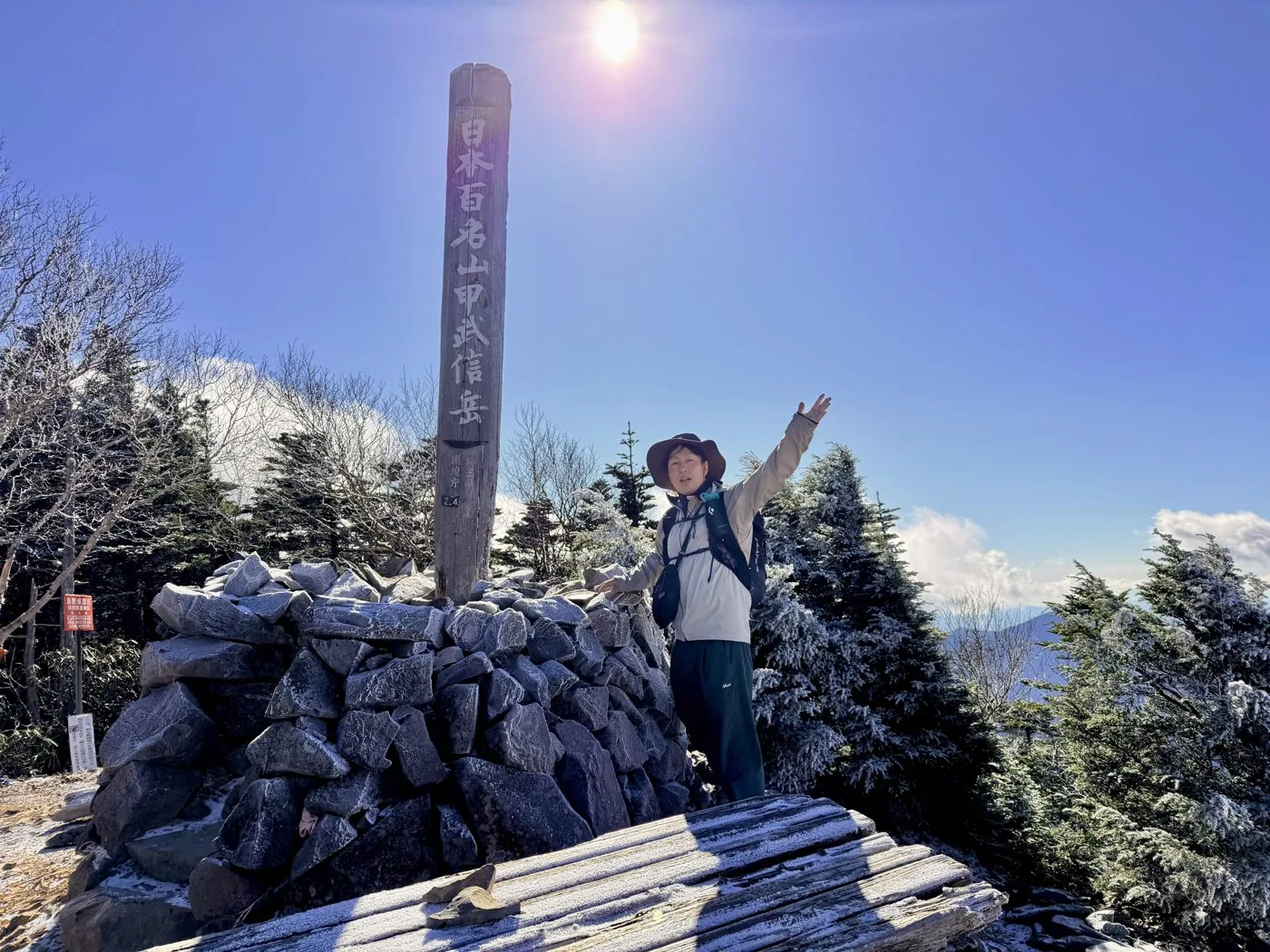
10:39Reach the summit of Kobushigatake (2,475 m)
11:42Sanposan (2,483 m; highest peak in Saitama Prefecture, the high point of the loop)
13:25Toward Jumonji Pass via Oyama
15:31Descend to Mokidaira (loop, about 8 hours 31 minutes)
History & culture
History & culture
Kobushigatake is a mountain of 2,475 m standing almost at the centre of the Okuchichibu main ridge, and is one of the 100 Famous Mountains. Its name is said to derive from its position at the border of the three provinces of Kai (Yamanashi), Musashi (Saitama) and Shinano (Nagano).
This mountain is also a watershed that is the source of three great rivers: the Chikumagawa (Shinanogawa), the Arakawa and the Fuefukigawa (Fujikawa). Climbing from Mokidaira on the Nagano side, you can follow the 'very first drop' of the Chikumagawa source all the way to the summit, where a source monument greets hikers.
Just north of the summit is Sanposan (2,483 m), the highest peak in Saitama Prefecture — a summit a little higher than Kobushigatake itself. The whole area is cloaked in deep Veitch fir forest and moss, and the quiet, weighty ranges are typical of Okuchichibu. From the summit you can look out to Kinpusan, Kokushigatake, Mt. Fuji and the Southern Alps.
Photos
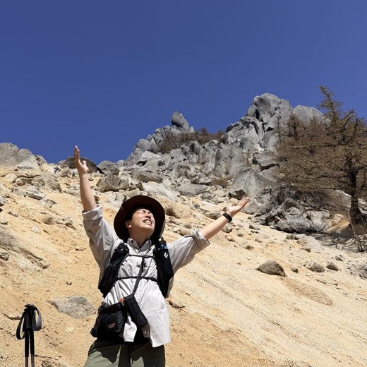
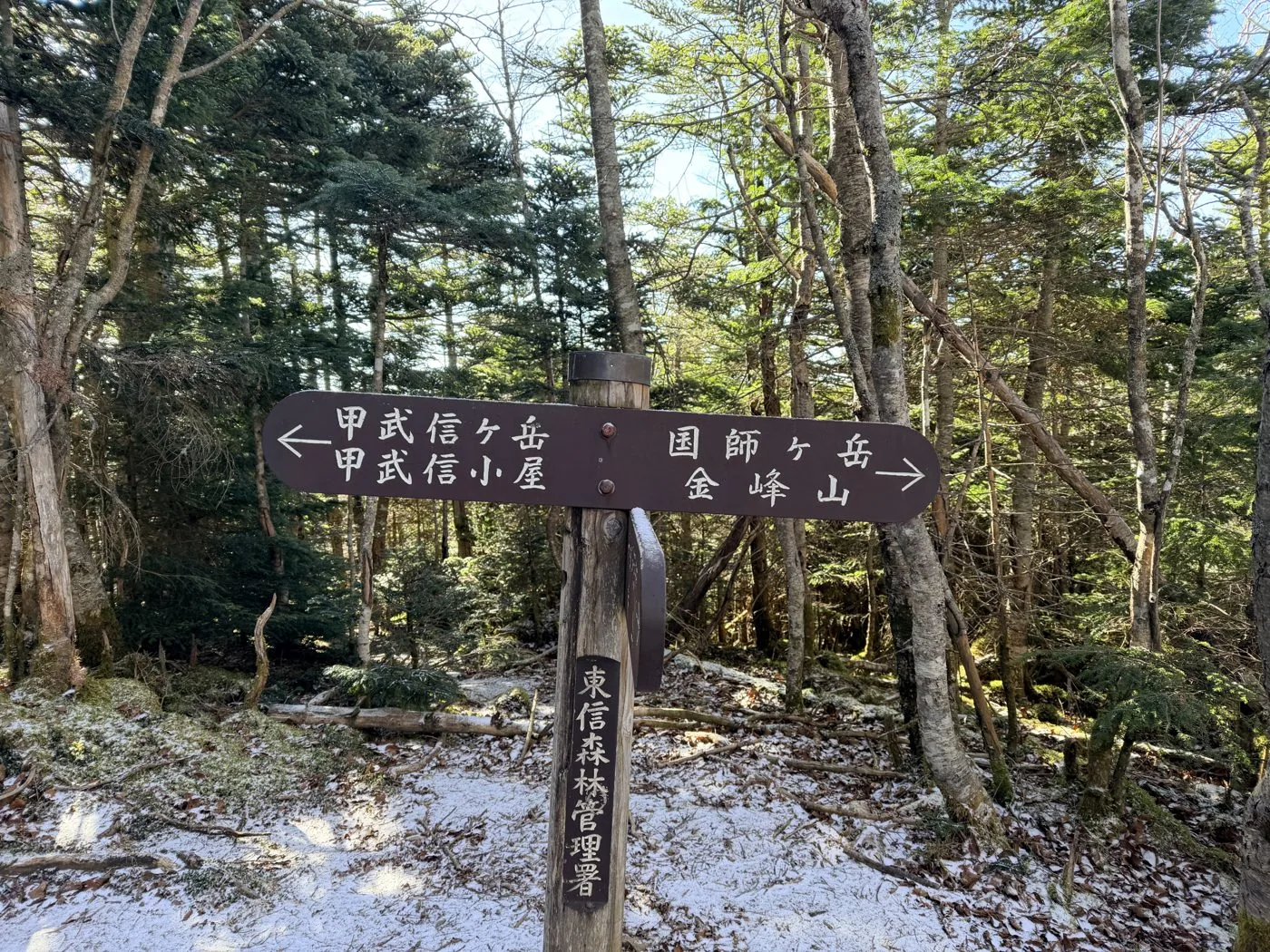
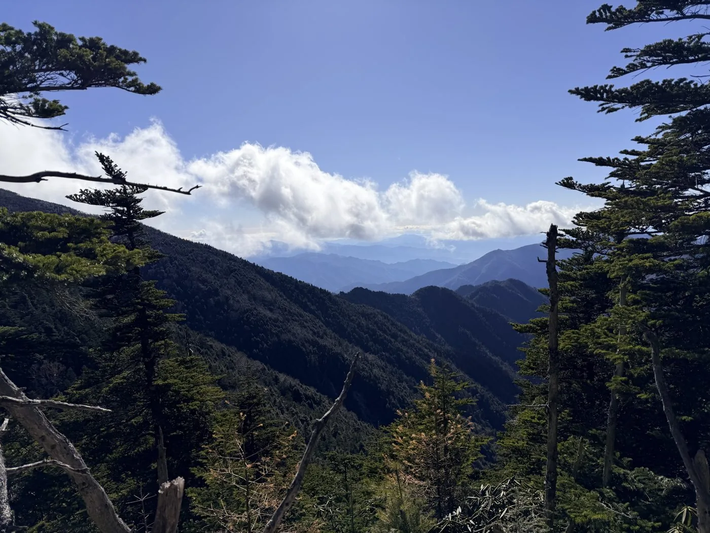
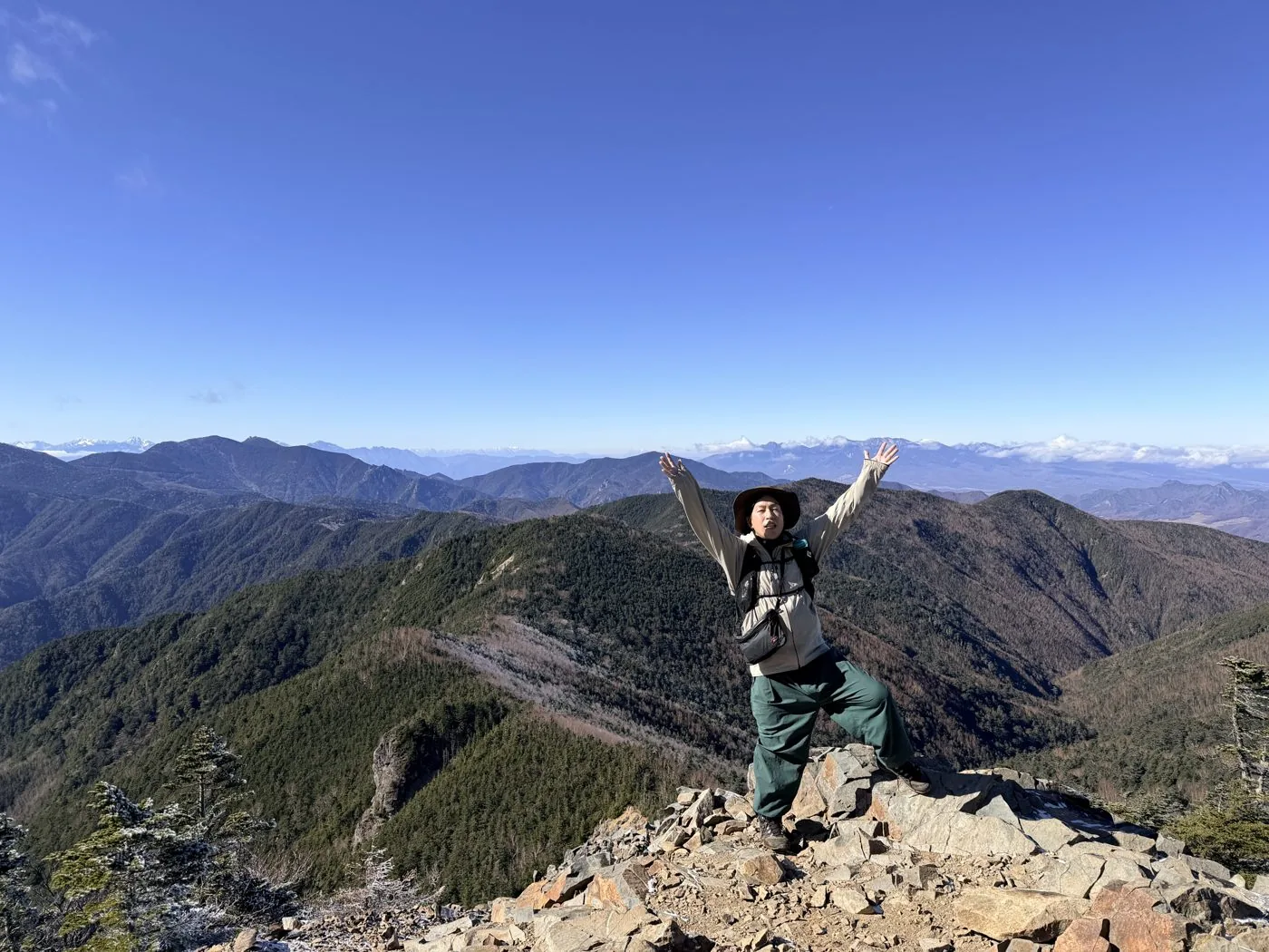
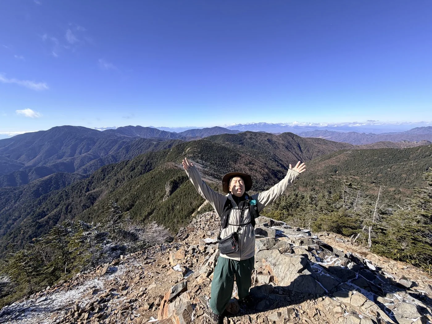
Photos from the trail
All photos were taken by the editor on the actual hike. Tap to enlarge.
The Chikumagawa source route from Mokidaira has a clear path, but it is over 15 km with more than 1,300 m of elevation difference and many ups and downs, so it is for the fit. A day trip presupposes an early start, and staying at the Kobushi Hut just below the summit gives you more of a margin. There are not many technical rocky sections, but stamina is required.
What is the origin of the name 'Kobushi'?
It is said to come from its position at the border of the three provinces of Kai (Yamanashi), Musashi (Saitama) and Shinano (Nagano). It is also the watershed of the Chikumagawa (Shinanogawa), the Arakawa and the Fuefukigawa (Fujikawa), and from Mokidaira you can climb following the 'very first drop' of the Chikumagawa source.
Is Sanposan the higher one?
Yes. Sanposan (2,483 m), just north of Kobushigatake (2,475 m), is the highest peak in Saitama Prefecture — a summit about 8 m higher than Kobushigatake. On the loop from Mokidaira, you climb Kobushigatake first and then cross over Sanposan. On the elevation chart and map, too, the high point is shown as Sanposan.
Which routes can you use to climb?
The representative ones are the route following the Chikumagawa source from Mokidaira on the Nagano side, and the route up the Tokuchan Shindo from the Nishizawa Keikoku gorge on the Yamanashi side. Both have distance and elevation difference and are for the fit. A two-day plan using the Kobushi Hut is popular too.