Kisokomagatake Hiking Guide | From the Senjojiki Cirque to the highest peak of the Central Alps
Difficulty & route
Beginner
Take the ropeway up to Senjojiki (2,612 m). From the glacier-carved cirque, climb the Hatchozaka slope, cross Norikoshi-jodo and Nakadake, and reach the highest peak of the Central Alps.
木曽駒ヶ岳2,956m
Elevation
2,956m
Course time
Round trip from Senjojiki — about 2 hours 20 minutes (the editor's measured time) / about 3–4 hours at a standard pace
Best season
July to October (alpine flowers and autumn colours; watch the ropeway's operating hours and any suspensions).
Distance
3.7km
Total ascent
459m
Parking
Sugano-dai Bus Center car park (private cars are restricted beyond Shirabi-daira; take the bus and ropeway to Senjojiki).
0:00Elapsed0.0km2,627m
Elevation profileEditor's measured GPX · surface distance3.72kmRoute overviewEditor's measured GPS route on the GSI base map ·3.72km
TrailheadSenjojiki Station (Komagatake Ropeway)/Senjojiki, Komagane City, Nagano35.7778, 137.8132Open in Google Maps →
AccessBy car: from Komagane IC on the Chuo Expressway to the Sugano-dai Bus Center. Take the local bus to Shirabi-daira, then the Komagatake Ropeway up to Senjojiki (2,612 m).
Coordinates are the trailhead and summit points from the editor's own GPS track.
Watch
Watch this hike on video
Editor's note
Editor's note
編集長
Climbed on:2026-10-05
Kisokomagatake, at 2,956 m, is the highest peak of the Central Alps (the Kiso Mountains). Because the Komagatake Ropeway lifts you in one go to Senjojiki at 2,612 m, it is loved as a mountain where you can aim for the summit with ease even among peaks approaching 3,000 m. The Hokuto editor, whose home ground is the Yatsugatake and Southern Alps, ventured a little further afield to climb it in person and to lay out what you need to know.
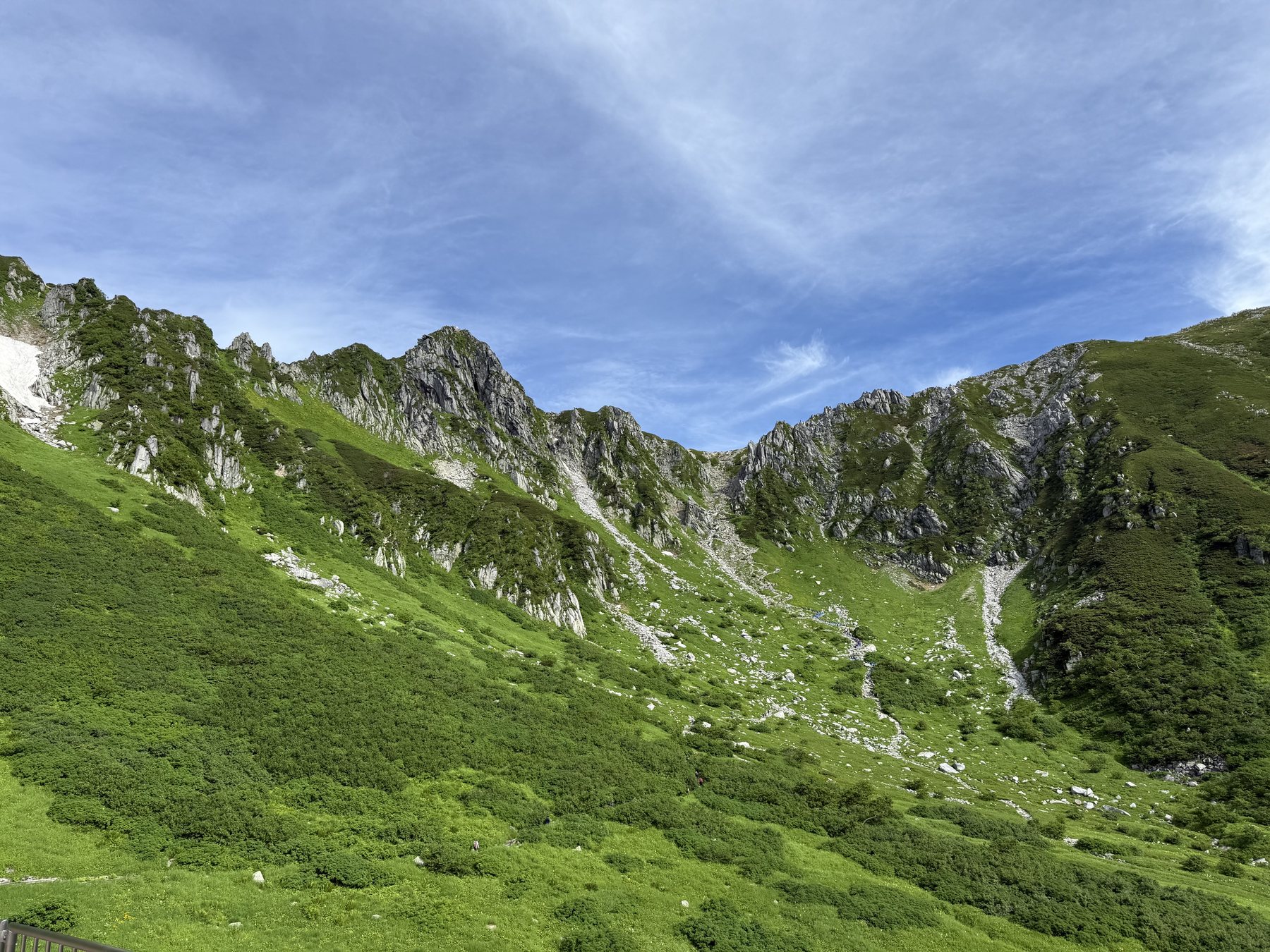
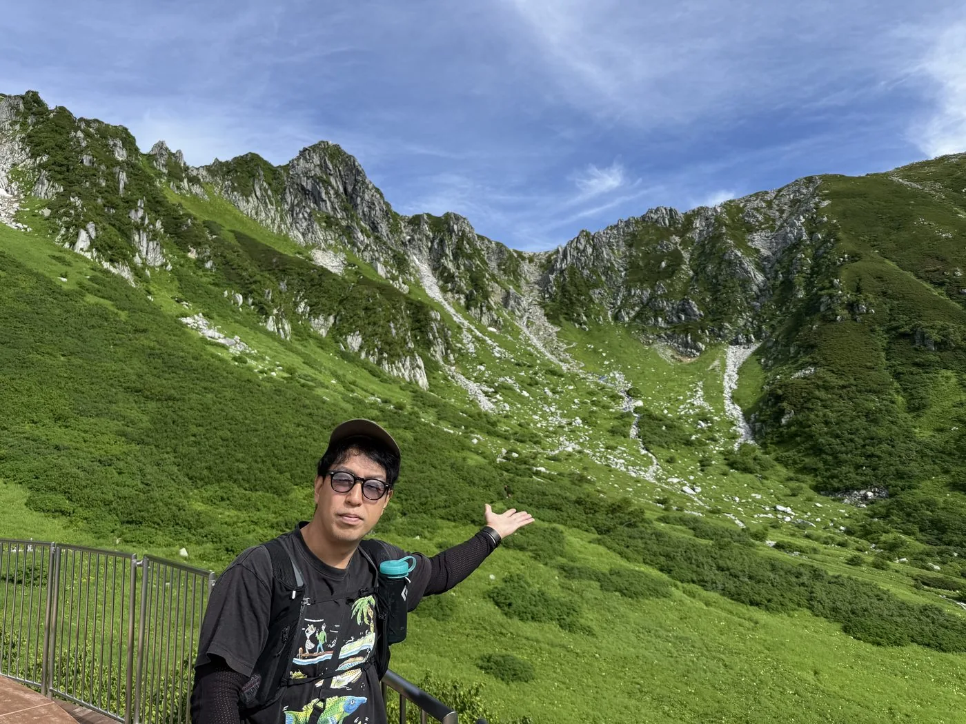
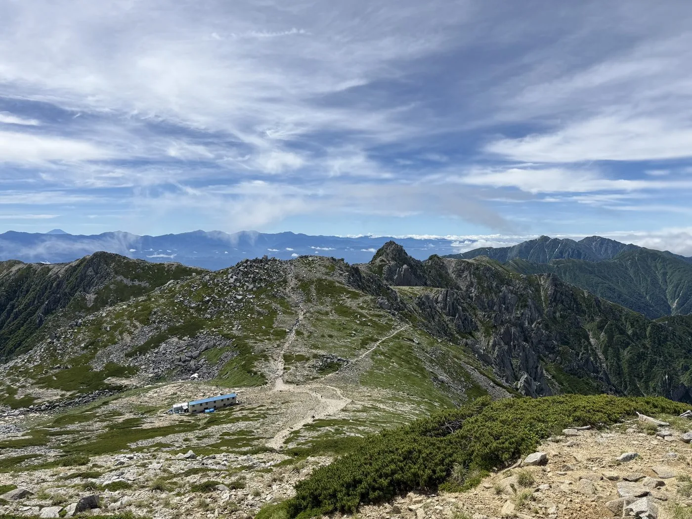
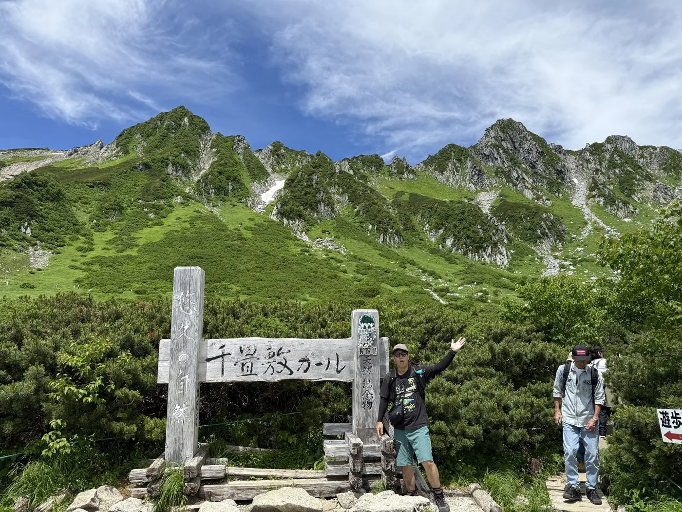
Step out of Senjojiki Station and the bowl-shaped Senjojiki Cirque, carved by a glacier, lies right before you. Climb the steep Hatchozaka slope to Norikoshi-jodo, cross Nakadake, and you reach the highest peak of the Central Alps. The elevation gain is small and the walking easy, but the ridge sees sudden changes in weather, with low temperatures and strong winds even in summer. Always carry rain gear and warm clothing.
The editor's measured time was about 2 hours 20 minutes including breaks (depart 08:22, summit 09:37, descend 10:42), a fit pace; the standard is about 3–4 hours. When it is clear, the summit view reaches across the sea of clouds to the Southern Alps and Mt. Ontake.
In a video from the hike on 18 July 2025, the editor says the scenery felt quite different from any mountain climbed so far ([video 5:52](https://www.youtube.com/watch?v=SlB9yAcPs7o&t=352s)), going as far as to say it looked different enough to bring Switzerland to mind ([video 11:34](https://www.youtube.com/watch?v=SlB9yAcPs7o&t=694s)). The video also touches on the starry sky and sunrise for anyone staying overnight at Senjojiki ([video 6:50](https://www.youtube.com/watch?v=SlB9yAcPs7o&t=410s)).
Because the ropeway raises you so quickly, walk slowly at first to prevent altitude sickness. Factor in the time of the last car and the crowds in peak season, and enjoy the mountain with a plan that leaves plenty of margin.
Routes
Choose your route
Senjojiki route (ropeway; via Norikoshi-jodo and Nakadake)
Out & back
Difficulty
Beginner
Approx. time
About 2 hours 20 minutes (the editor's measured time) / about 3–4 hours at a standard pace
Day trip
Day trip using the ropeway
The ropeway lifts you all the way to Senjojiki (2,612 m); from there you climb the steep Hatchozaka slope to Norikoshi-jodo, then cross Nakadake to reach Kisokomagatake. It is a popular route that lets you stand on a peak of nearly 3,000 m with relative ease. The elevation gain is small and the walking is easy enough for beginners, but this is still a high mountain — take care with sudden changes in the weather and with altitude sickness.
Agematsu A Course / Fukushima B Course (classic routes from the foot of the mountain)
Out & back / traverse
Difficulty
Advanced
Approx. time
Day trip to one overnight (for the fit)
Day trip
A long route with over 2,000 m of ascent
A traditional trail climbing more than 2,000 m of elevation from the foot of the mountain, walked long before the ropeway opened. Quiet and rewarding, but a long, demanding route best suited to strong, experienced hikers.
Editor's record
Editor's measured times
The editor's actual timings on this hike (from the video record). Use them as a guide to course times.
08:22Depart Senjojiki Station (2,612 m). The Senjojiki Cirque lies right ahead
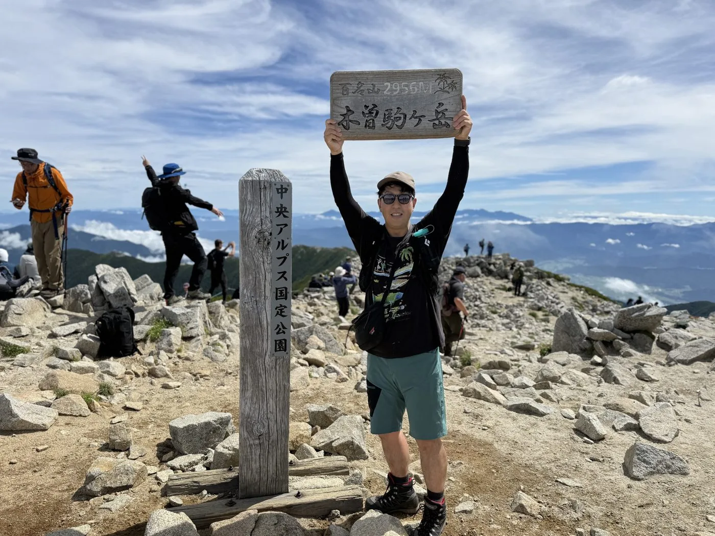
09:37Reach the summit of Kisokomagatake (2,956 m; the highest peak of the Central Alps)
09:50Descend the ridge near Nakadake (about 2,900 m)
10:36Return to the Senjojiki Cirque
10:42Descend to Senjojiki Station (round trip about 2 hours 20 minutes)
History & culture
History & culture
Kisokomagatake, at 2,956 m, is the highest peak of the Central Alps (the Kiso Mountains). Its name is said to come from the "koma" (horse) snow pattern that appears on the slopes at the end of spring, and it has long been an object of worship. In the first year of the Tenbun era (1532) a Komagatake Shrine is said to have been enshrined at the summit, making it a mountain of faith firmly tied to the villages at its foot.
The Senjojiki Cirque at the trailhead is a bowl-shaped landform carved into the mountainside by a glacier some 20,000 years ago. Spreading out directly beneath the sharp rock face of Hokendake, it is known in summer as a treasury of alpine flowers. In 1967 the Komagatake Ropeway opened, linking Shirabi-daira (1,662 m) to Senjojiki (2,612 m) and bridging a height difference of 950 m in one go. With Senjojiki Station as the highest railway station in Japan, it has become a mountain where anyone can easily stand amid the spectacular scenery of the alpine zone.
Photos
Photos from the trail
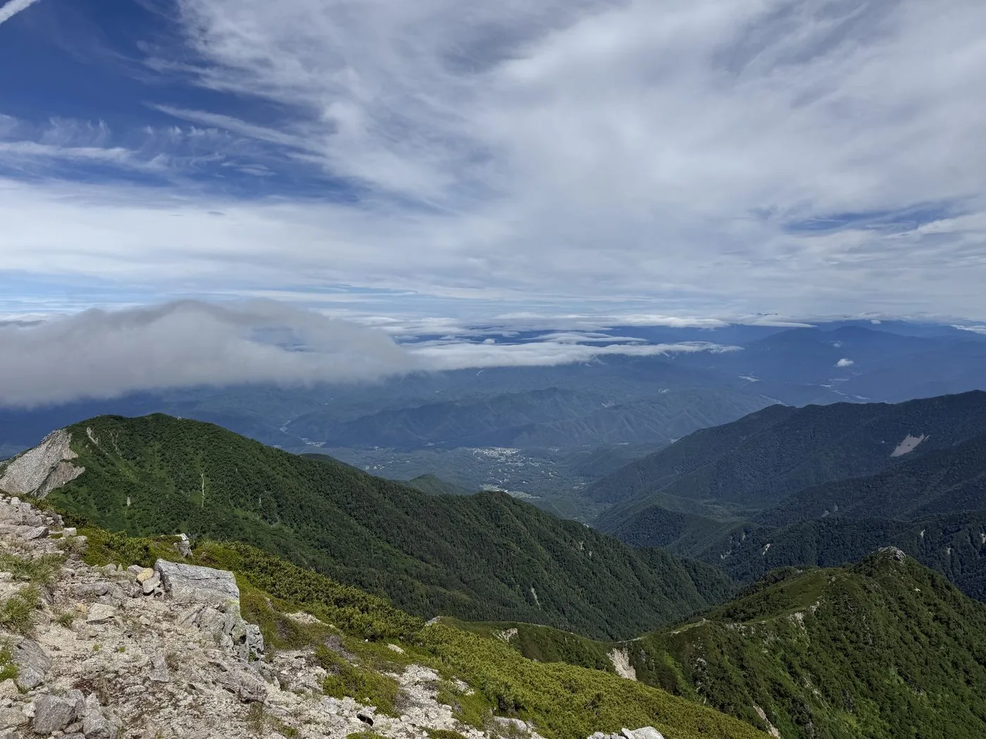
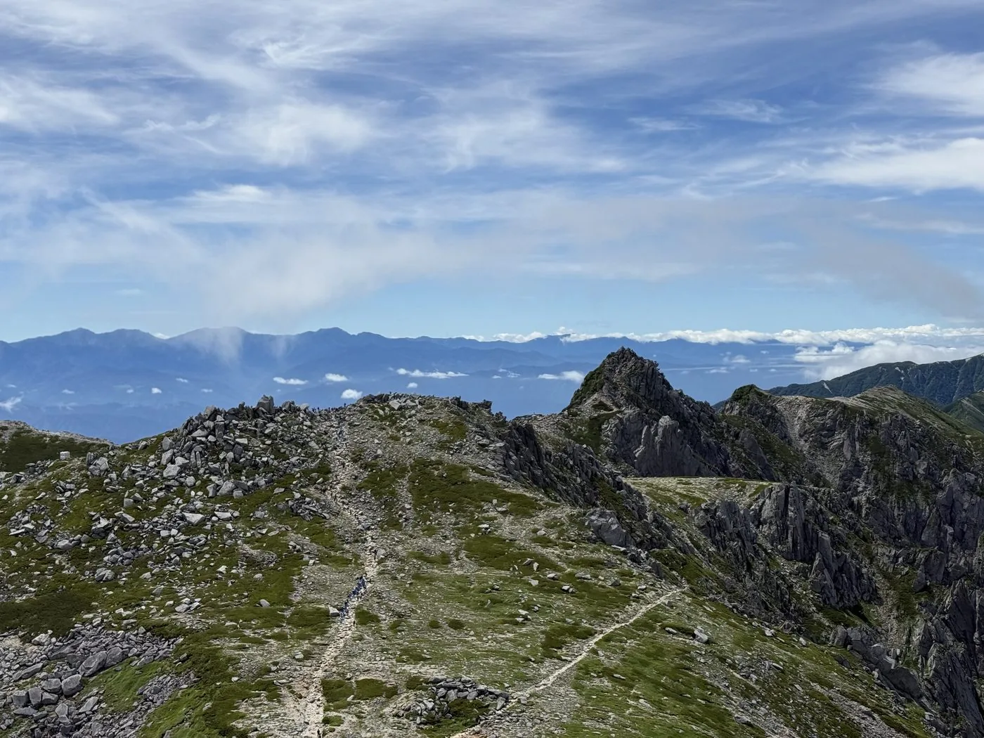
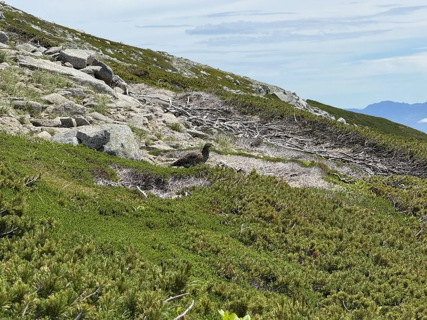
All photos were taken by the editor on the actual hike. Tap to enlarge.
The ropeway takes you up to Senjojiki at 2,612 m, and you can stand on the highest peak of the Central Alps in a standard 3–4 hours, so it is an easy, beginner-friendly mountain for the 3,000 m class. That said, it is still a high mountain, and you cannot skimp on preparation for altitude sickness and sudden changes in the weather.
How long does it take to climb?
The standard round trip from Senjojiki is about 3–4 hours. The editor's measured time was about 2 hours 20 minutes including breaks, but that is a fit pace. Let your body acclimatise to the altitude and plan with plenty of margin.
Can I drive all the way to Senjojiki?
Private cars are restricted beyond Shirabi-daira, so you park at the Sugano-dai Bus Center car park and change to the local bus and the ropeway. Waits to board can occur in peak season, so it is best to set off early.
What is the Senjojiki Cirque?
It is a bowl-shaped landform carved into the mountainside by a glacier about 20,000 years ago, spreading out directly beneath Hokendake. A treasury of alpine flowers, it lies right in front of you the moment you step off the ropeway at Senjojiki Station. You can also walk a loop around the trail.
Can I climb Hokendake too?
Hokendake is a hazardous stretch of continuous rocky ridge and chained sections, suited to advanced hikers. You do not pass it if you aim only for Kisokomagatake, but if you plan a detour, weigh the weather and your experience carefully before deciding.