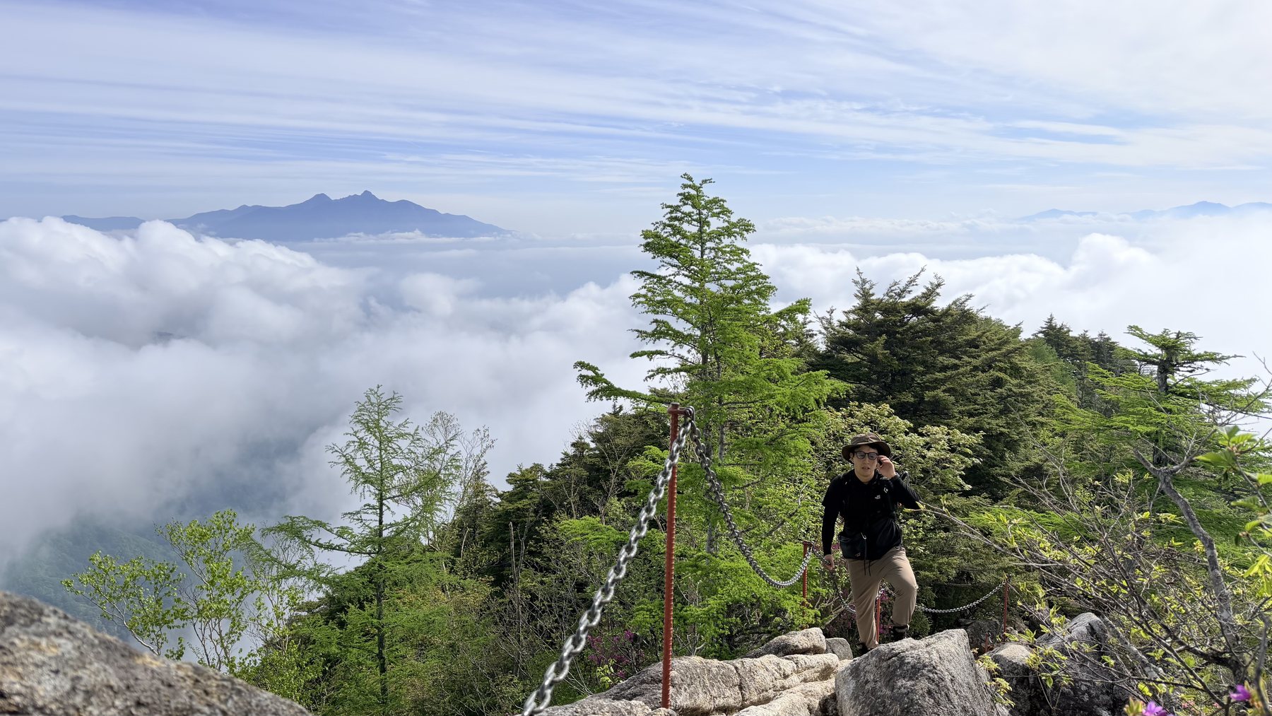
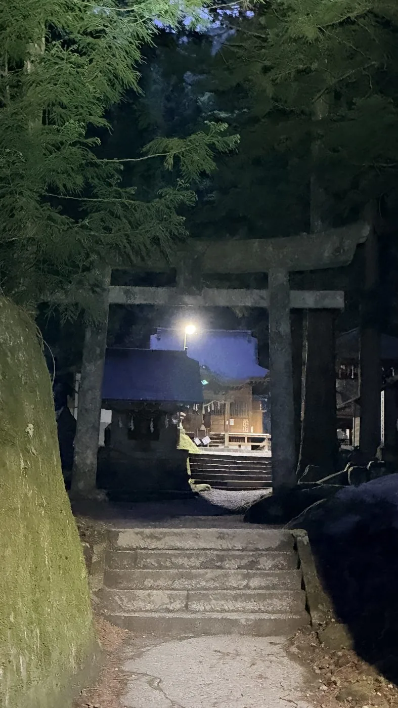
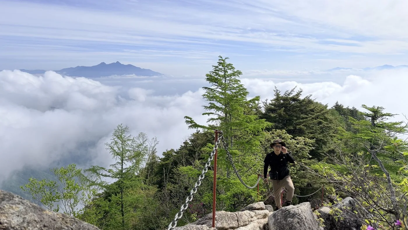
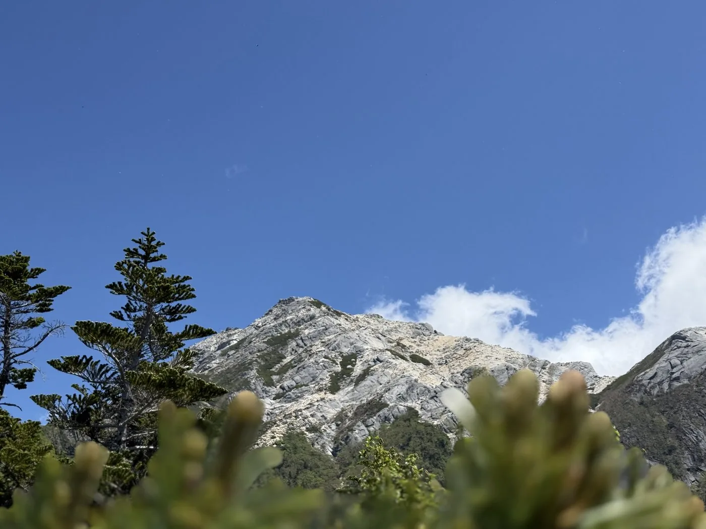
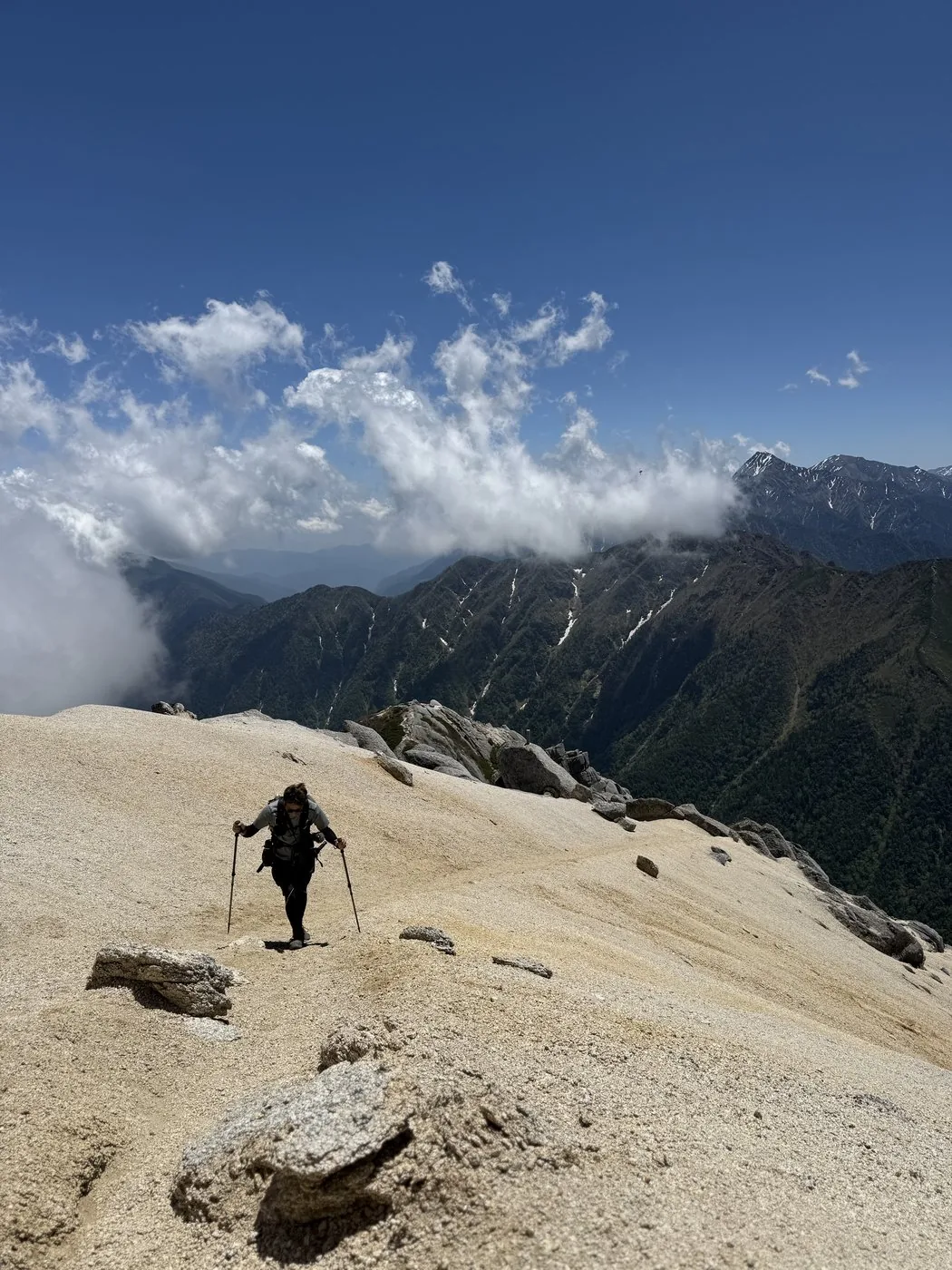
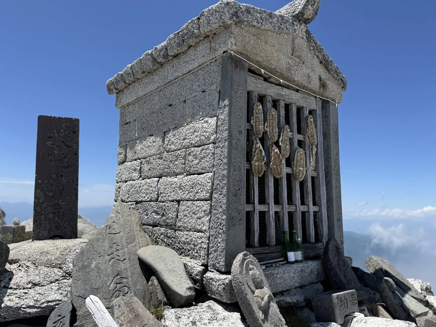
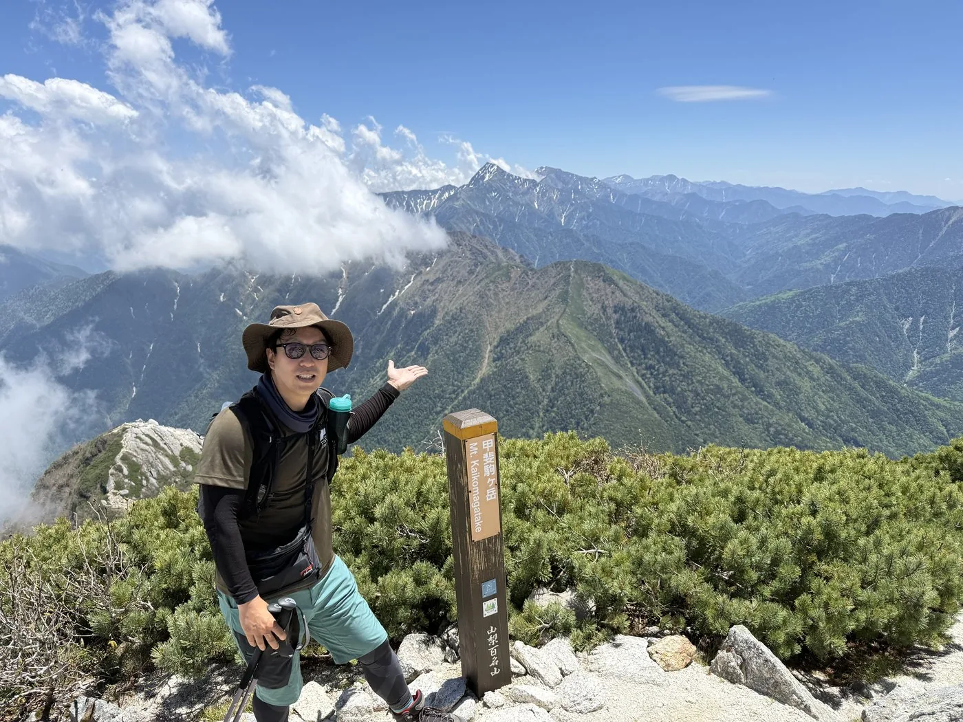
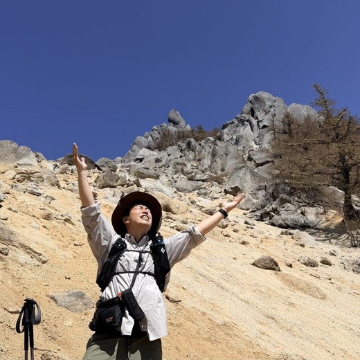
Kaikomagatake is a "white granite mountain" standing in the northern Southern Alps. The Hokuto-based editor, who sees this mountain from home every day, actually climbed it by two routes and lays out the material for your decision. In the "climb records" tab above you can compare the hike replay, elevation profile, route map and photos for the Kurodo Ridge and Kitazawa Pass.
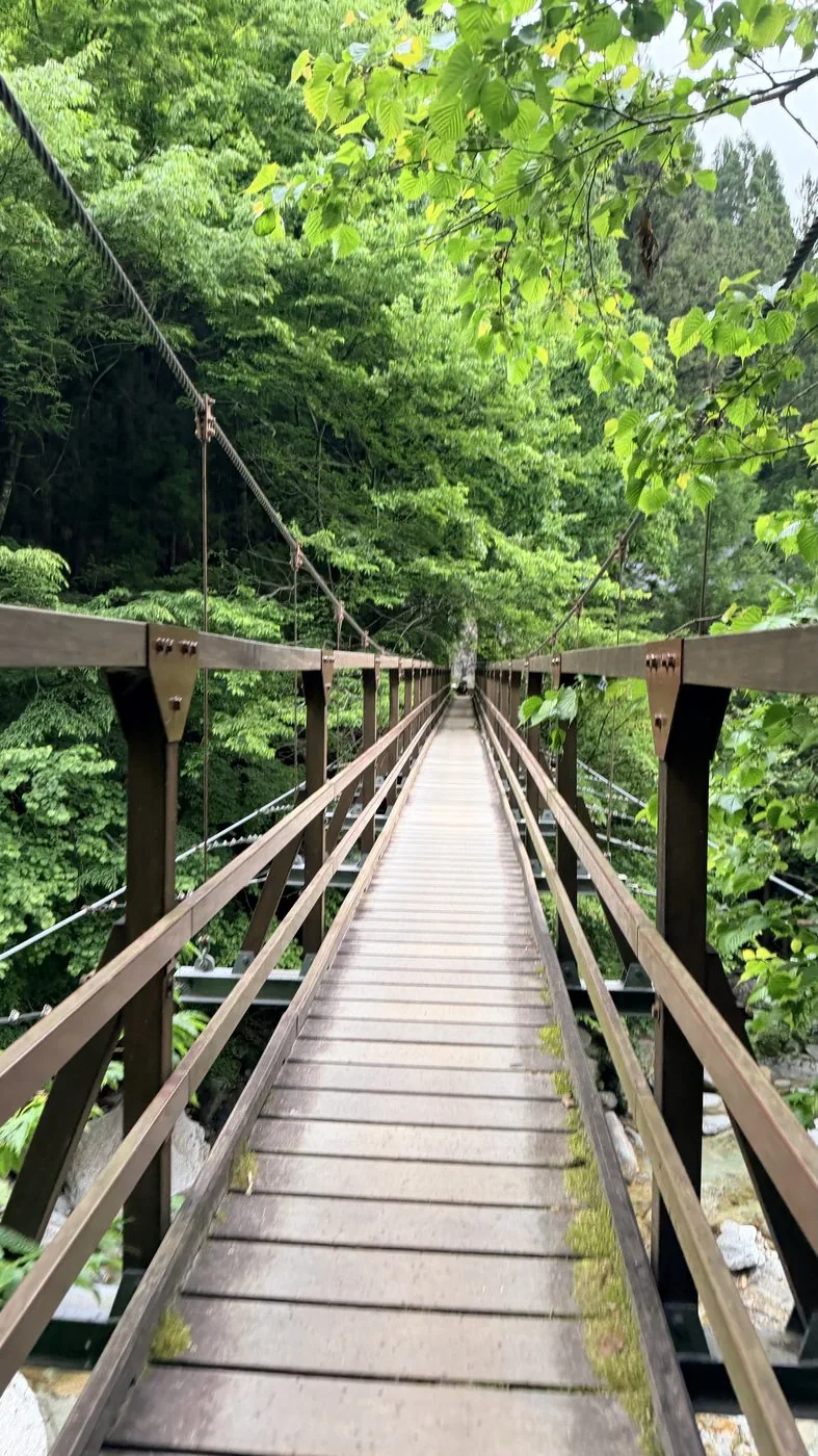
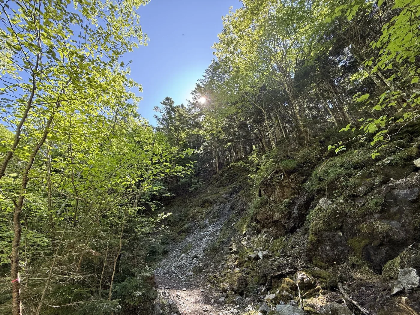
One is the Kurodo Ridge (the front approach) — a "great steep ascent of Japan" gaining over 2,200 m, attacked from Chiku Komagatake Shrine in the Ojirogawa Gorge across a suspension bridge. Above the Shichijo Hut at the seventh station, ladders, chains and rock faces come one after another; even the editor's measured time was a long haul of about 14 hours 13 minutes including breaks (depart 04:05, summit 12:22, descend 18:19).
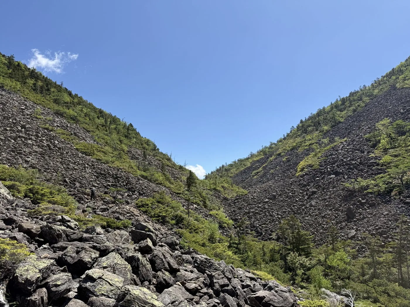
The other is the general route from Kitazawa Pass — with a bus taking you up to about 2,030 m the elevation gain is small, and from the boulder field at Sensui Pass you cross Komatsumine to the summit. The editor's measured round trip was about 6 hours 36 minutes, a classic route well within reach of beginner to intermediate hikers. The same white summit shows this much variety depending on how you climb it.
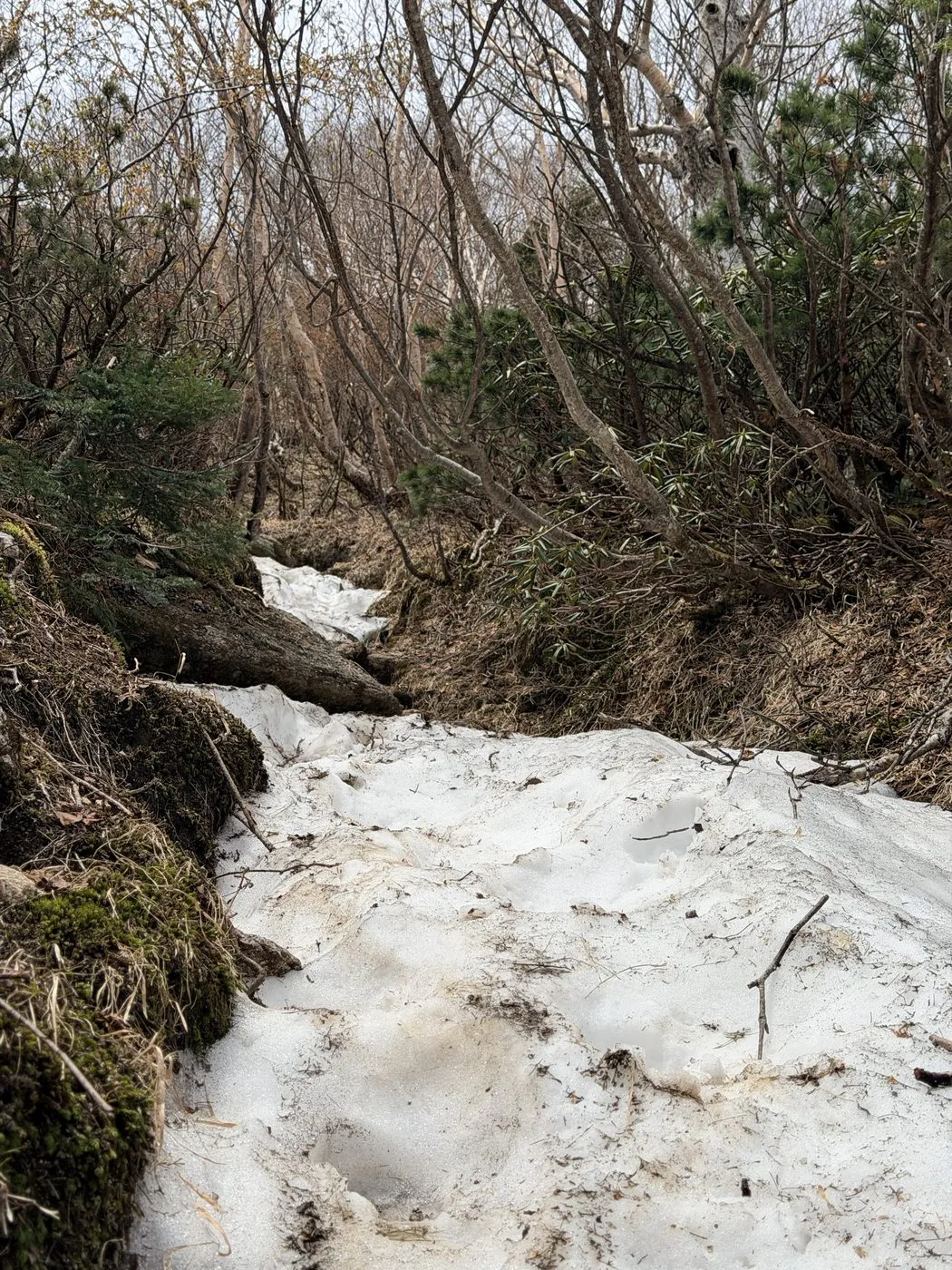
Beginners should not force an attempt on the Kurodo Ridge; choose a Kitazawa Pass base. If you do the Kurodo Ridge as a day trip, commit to an early start, and if you cannot leave yourself time to spare, stay at the Shichijo Hut. In the snow season, also beware of icing and falls on the upper slopes.
## For day hikers on the Kurodo Ridge — the car park, Shichijo Hut and chain sections in practice
For those planning a day hike on the Kurodo Ridge, here is a rundown — drawing on the editor's video, measured data and Hokuto City's official site — of the questions most often asked: the car park, departure time, Shichijo Hut and the chain sections.
### The car park and departure time
The Ojirogawa Gorge car park at the trailhead is free and has about 100 spaces. According to Hokuto City's official course guide, it can fill up on summer weekends, and cars may line the road outside, so an early start is recommended (checked 2026-09-12). By public transport, it's about a 30-minute taxi ride from JR Chuo Line Kobuchizawa Station to the Ojirogawa Gorge car park (same source, checked 2026-09-12).
In the editor's record (2026-05-27), departure was at 04:05 — still dark, so it started with a headlamp. In the video, the editor says they camped the night before and drew water before setting off ([Video 1:44](https://www.youtube.com/watch?v=XjwtV8zuutg&t=104s)). Camping the night before to prepare for an early start was the editor's approach.
### Water, toilets and rest at the Shichijo Hut
According to the record, the editor passed the Shichijo Hut at the seventh station (about 2,370 m) at 10:09. In the video, the editor explains that water can only be drawn from the Shichijo Hut (seventh station) onward, and that there is no way to resupply water for a stretch below it ([Video 2:37](https://www.youtube.com/watch?v=XjwtV8zuutg&t=157s)). Don't count on water below the seventh station — carry enough before you set off. Whether toilets are available could not be confirmed from the material referenced here.
### The chains, ladders and rock faces in practice (the crux section)
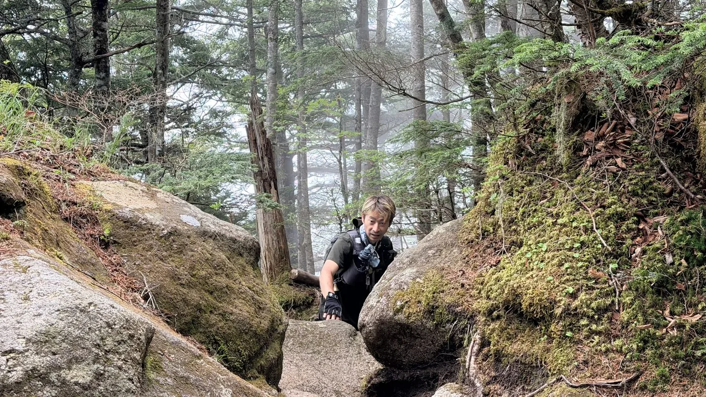
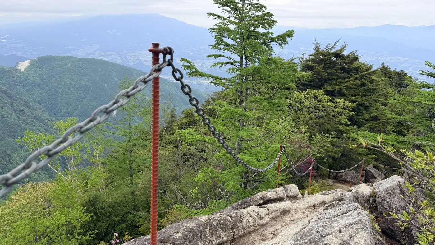
According to Hokuto City's official course guide, the crux of the Kurodo Ridge lies between the fifth and seventh stations, where exposed ladders and chain sections come one after another. In particular, the chain pitch in the latter half of the crux — about 3 m long on a 70-degree slope — is described as the most exposed section on the route. Just before it, the "Hawatari" ("blade's edge") has a near-vertical cliff on one side and a single slab of rock sloping about 40 degrees on the other; it is flagged as a place where fall accidents have occurred in the past, so caution is advised when passing (both from the same source, checked 2026-09-12).
What follows is the editor's own experience on the climb of 27 May 2026. Impressions change with the weather and conditions, so please read this as a record of that day rather than a general statement.
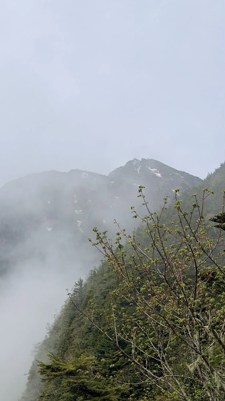
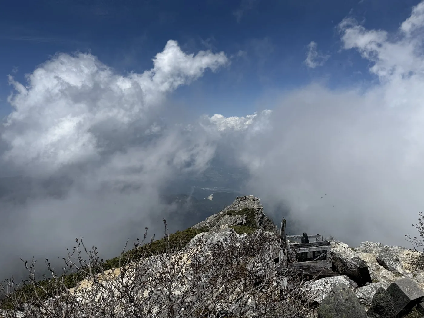
As the run of chains and ladders begins around 2,000 m, the editor says, "a ladder just suddenly appears" ([Video 21:56](https://www.youtube.com/watch?v=XjwtV8zuutg&t=1316s)). In the crux section they also say, "there are quite a few scary spots — ladders, chain sections, the 'blade's edge' — so let's be well prepared" ([Video 24:18](https://www.youtube.com/watch?v=XjwtV8zuutg&t=1458s)), and remark that anyone uneasy with heights might feel their legs go weak ([Video 18:28](https://www.youtube.com/watch?v=XjwtV8zuutg&t=1108s)). On this day, thick mist set in right where the trail met the ridge, and the editor notes, "unfortunately it's completely white out today," with poor visibility ([Video 17:14](https://www.youtube.com/watch?v=XjwtV8zuutg&t=1034s)). It's one example of how the same spot can feel more or less difficult depending on the weather.
### A rough itinerary (the editor's measured timeline)
This is the measured timeline from the 2026-05-27 record (round trip about 14 hours 13 minutes including breaks).
- 04:05 Depart the Ojirogawa Gorge car park and Chiku Komagatake Shrine (still dark, headlamp on)
- 07:48 Around 2,000 m. The chain-and-ladder rock section begins
- 10:09 Pass near the Shichijo Hut (seventh station, about 2,370 m)
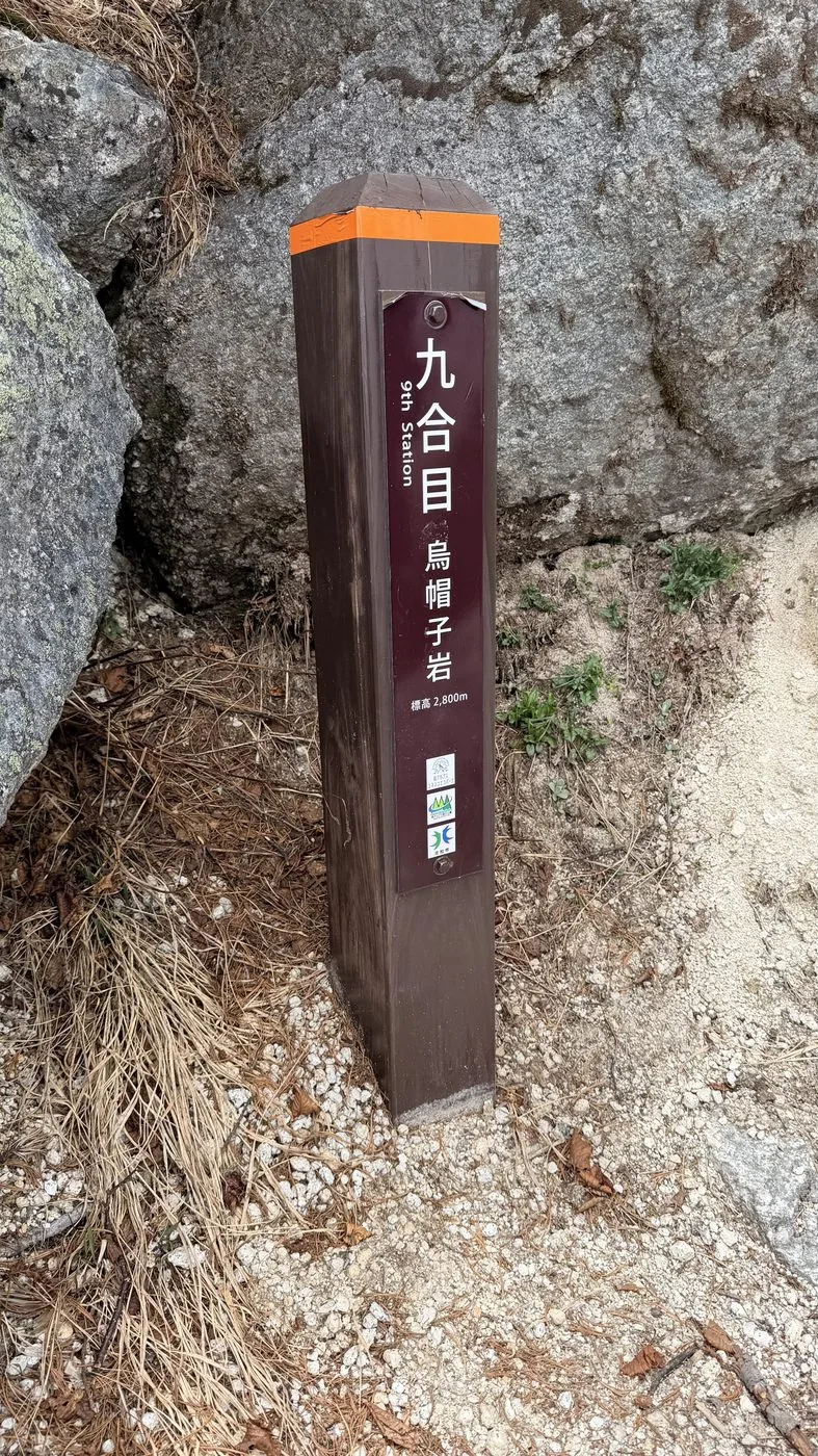
- 11:38 Ninth station, Eboshi-iwa (2,800 m)
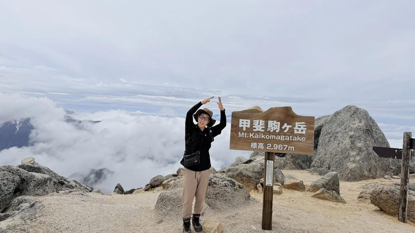
- 12:22 Reach the summit of Kaikomagatake (2,967 m)
- 18:19 Cross the suspension bridge over the Ojirogawa and descend to the car park
Hokuto City's official site gives a standard course time of about 16 hours in total (about 9 hours 40 minutes up, about 6 hours 20 minutes down; checked 2026-09-12). The editor's measured time was somewhat shorter — about 14 hours 13 minutes including breaks. This is the measured time of a strong, fit hiker, so build in a margin when using it to plan your own trip.