Hinatayama Hiking Guide | The white-sand Gangahara "beach in the sky" and course times from Yatateishi
Difficulty & route
Beginner
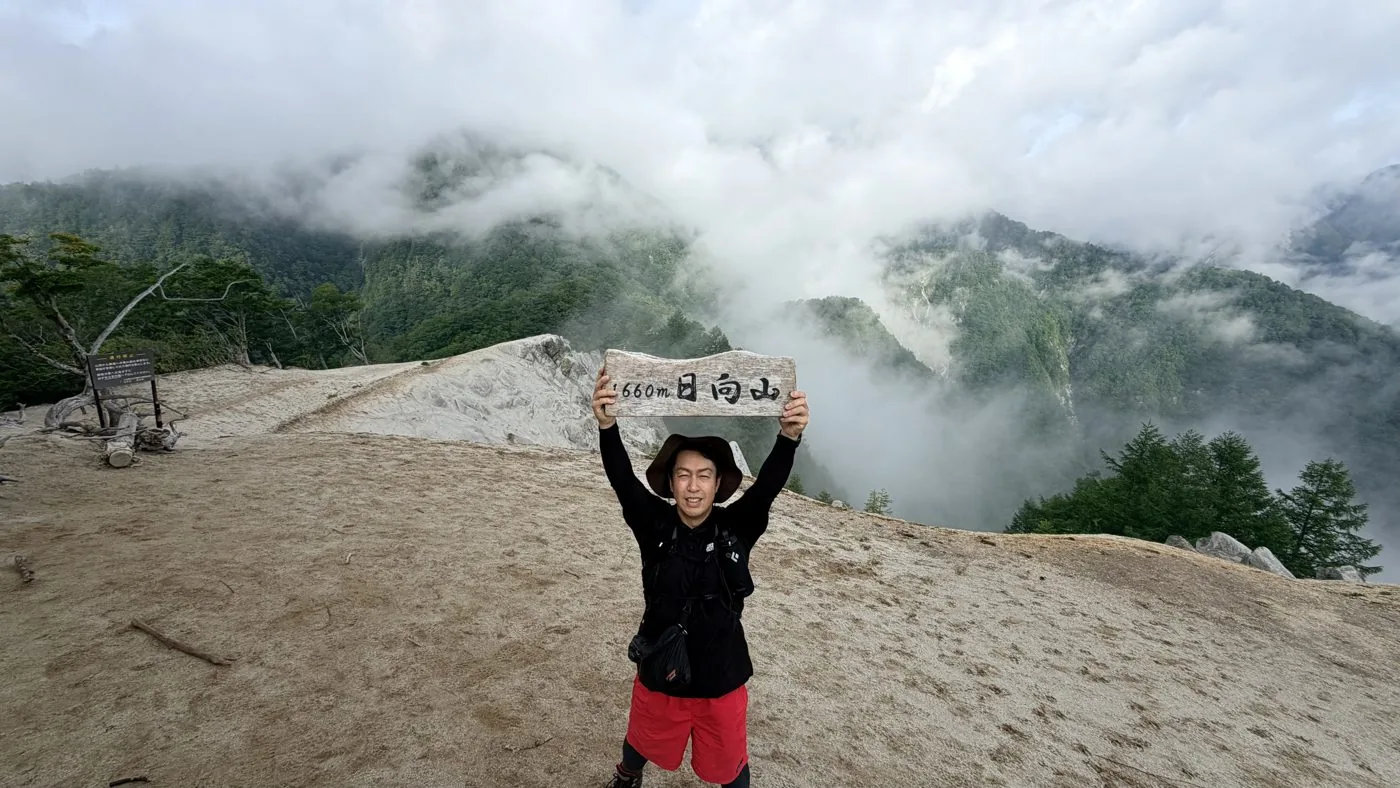
Hinatayama, a 1,660 m peak rising in the front range of the Southern Alps in Hakushu, Hokuto City. It sits northeast of Kaikomagatake, and "Gangahara" on the west side of the summit is a pure-white sandy expanse of weathered granite, also known as the "beach in the sky." Its charm is the moment you break out of the forest and the white sand, strange rock formations, and views of Kaikomagatake and Yatsugatake suddenly open up. It is one of the Yamanashi 100 Famous Mountains.
Hinatayama1,660m
Elevation
1,660m
Course time
Out-and-back from the Ojiragawa Gorge via Yatateishi to Hinatayama — about 3 hours 34 minutes (editor's measured time, incl. breaks / June 2026, early start). From the Yatateishi trailhead it is about a 2–3 hour round trip.
Best season
Spring to autumn. The fresh greenery and autumn colours are beautiful. The white sand of Gangahara is best enjoyed in the snow-free season. In summer an early start is more comfortable.
Distance
7.7km
Total ascent
960m
Parking
The car park at the Ojiragawa Gorge (Kaikomagatake trailhead). There is also a parking space at the Yatateishi trailhead up the forest road (small, and it fills up easily).
0:00Elapsed0.0km785m
Elevation profileEditor's measured GPX · surface distance7.76kmRoute overviewEditor's measured GPS route on the GSI base map ·7.76km
LocationHakushu-cho, Hokuto City, Yamanashi (front range of the Southern Alps, northeast of Kaikomagatake)
TrailheadOjiragawa Gorge car park (Kaikomagatake trailhead)/Hakushu-cho, Hokuto City, Yamanashi (Ojiragawa Gorge)35.7965, 138.2975Open in Google Maps →
AccessBy car: from Sutama IC or Kobuchizawa IC on the Chuo Expressway toward the Ojiragawa Gorge / Yatateishi. Hinatayama is usually climbed from the Yatateishi trailhead.
Coordinates are the trailhead and summit points from the editor's own GPS track.
Watch
Watch this hike on video
Editor's note
Editor's note
編集長
Climbed on:2026-08-19
Hinatayama is a 1,660 m mountain rising in the editor's home town of Hakushu, Hokuto City. Northeast of Kaikomagatake, at the entrance to the Southern Alps, it is one of the Yamanashi 100 Famous Mountains. It is not high, but "Gangahara," the pure-white granite sand that spreads across the west side of the summit, is known as the "beach in the sky," and the moment you break out of the forest an extraordinary landscape suddenly opens up. It is a peak the Hokuto editor recommends.
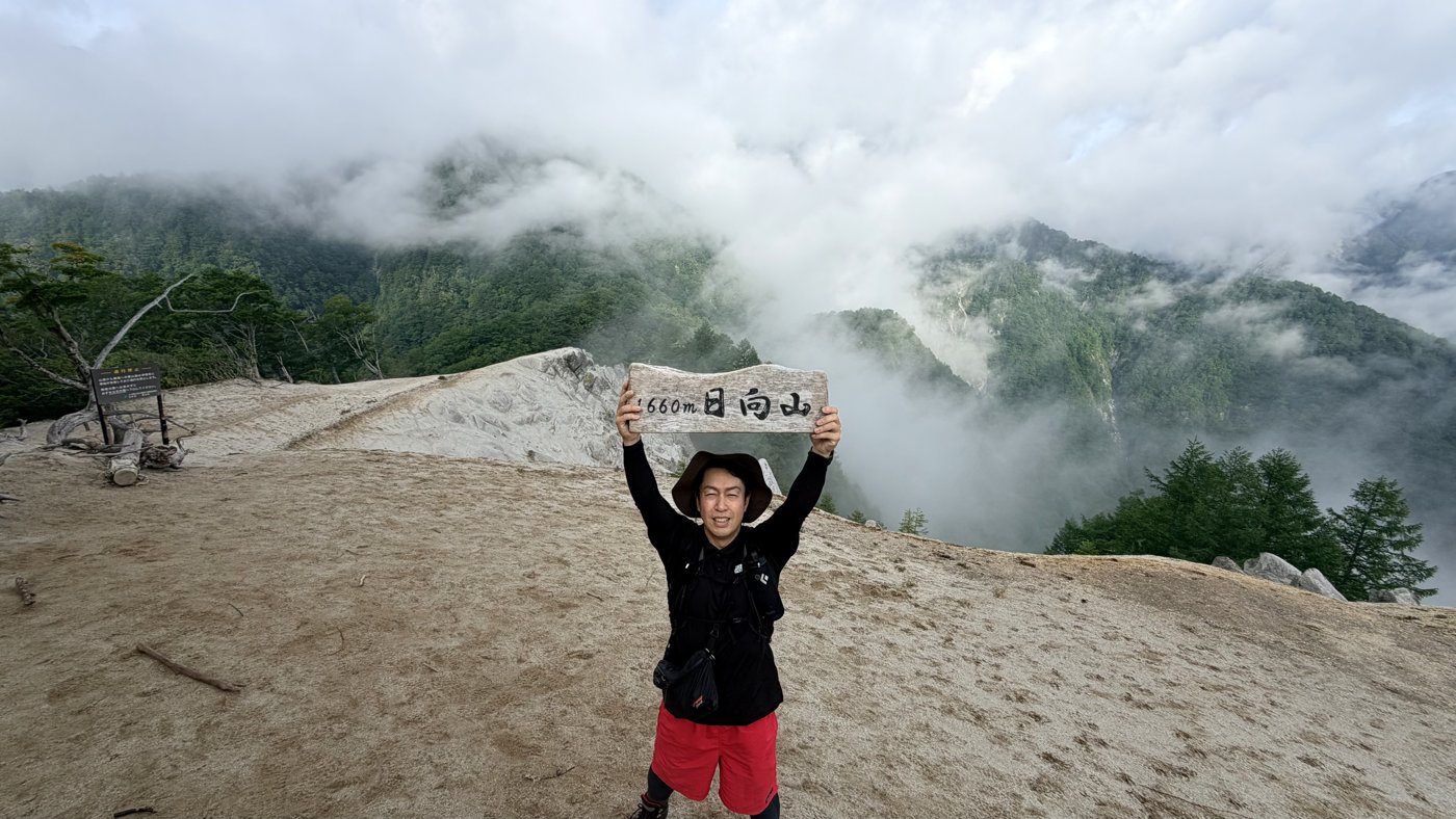
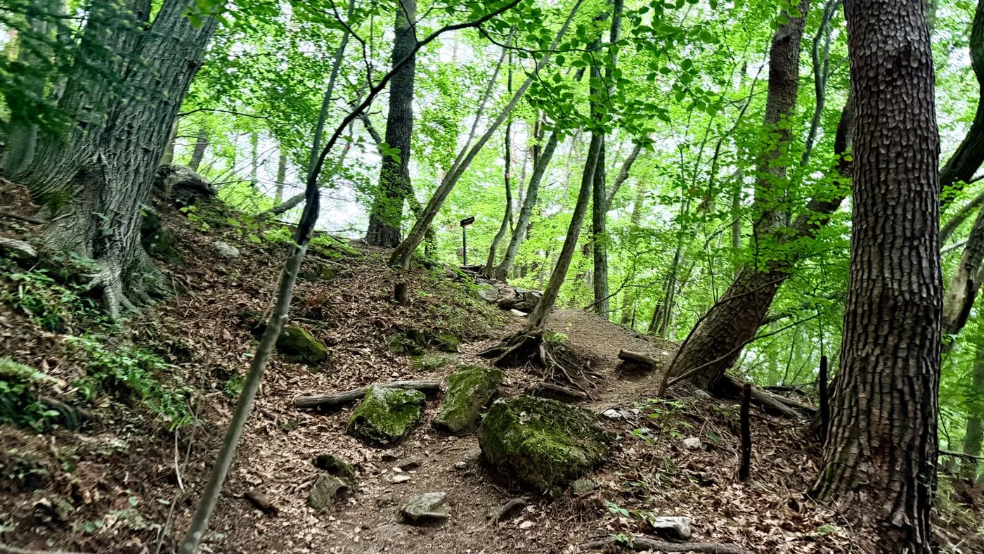
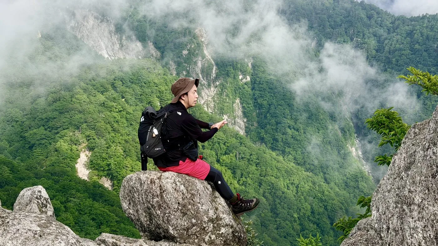
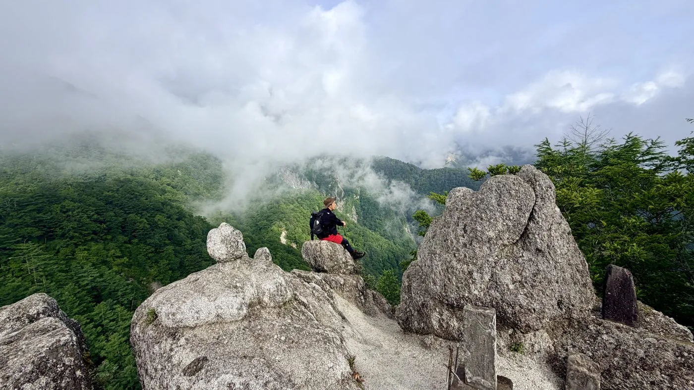
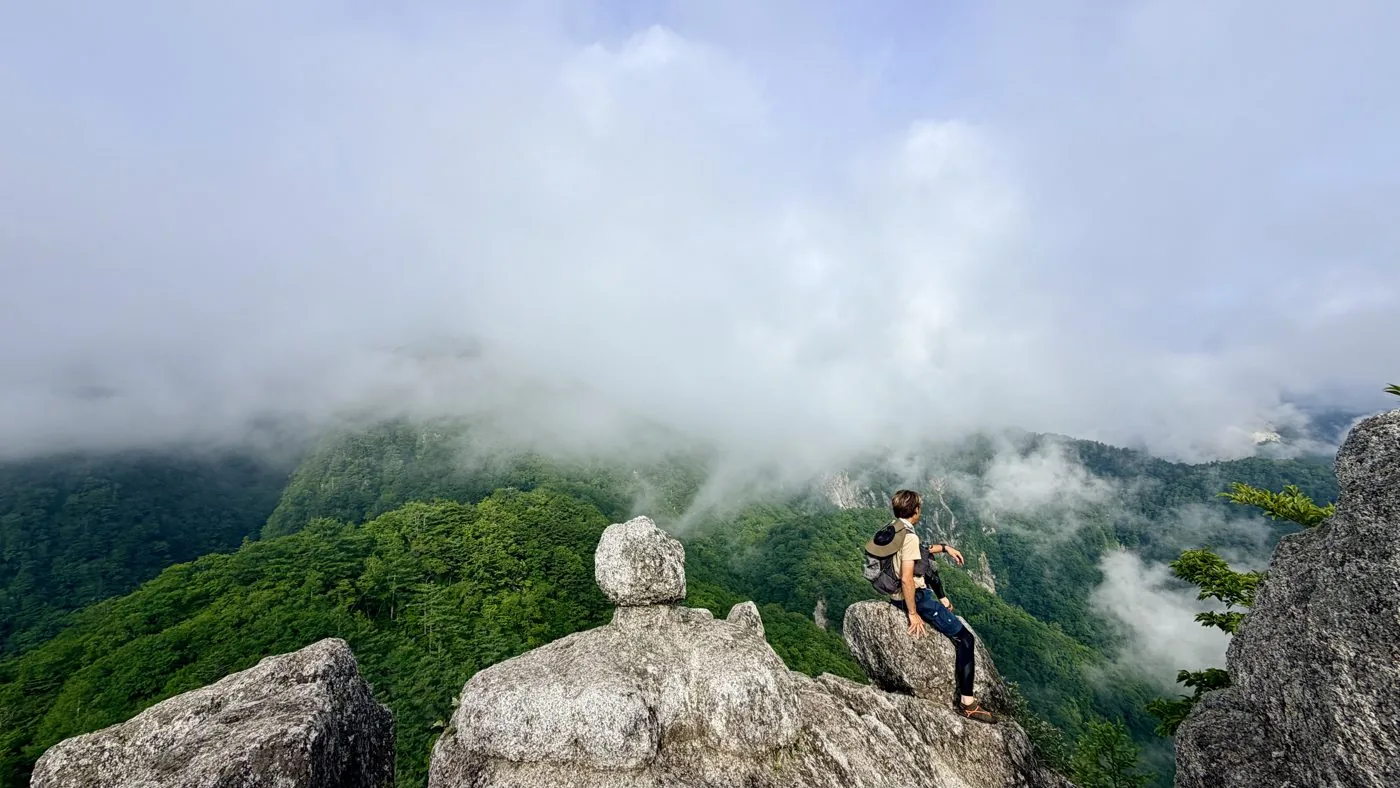
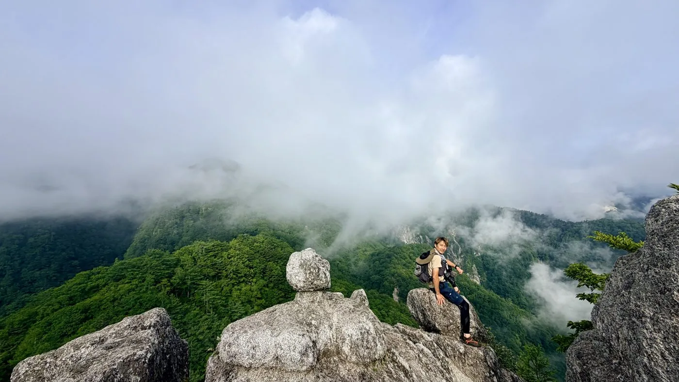
I walked it in June, in the early morning before the height of summer. Leaving the Ojiragawa Gorge (Kaikomagatake trailhead) a little after 4:30, I climbed via Yatateishi and the survey marker to Hinatayama. Breaking out of the quiet forest, the white sand and strange rocks of Gangahara suddenly spread out. A faint mist hung over everything that day, but that instead made the world of white sand look fantastical, and I met a special summit unlike its usual self.
The editor's measured time was about 3 hours 34 minutes including breaks (departed 04:40, summit 06:44, descended 08:14), about 7.7 km, with around 960 m of ascent. The easy access — meeting the sweeping view in half a day if you climb from the Yatateishi trailhead — is another charm, and it is a mountain you will want to climb again and again.
Gangahara is a steep slope of sand and gravel from weathered granite; it is slippery, and the descent needs particular care. Cutting straight down the white sand invites collapse and getting lost, so please follow the trail. The parking space at Yatateishi is small, so arrive early or walk up from the Ojiragawa Gorge. Clear skies bring white sand and blue sky, mist brings the fantastical — it is a mountain whose face changes greatly with the weather.
Routes
Choose your route
Out-and-back from the Ojiragawa Gorge via Yatateishi to Hinatayama (the editor's route)
Out & back
Difficulty
Beginner
Approx. time
About 3h34m (editor's measured time, early start)
Day trip
Day trip · Beginner–Intermediate
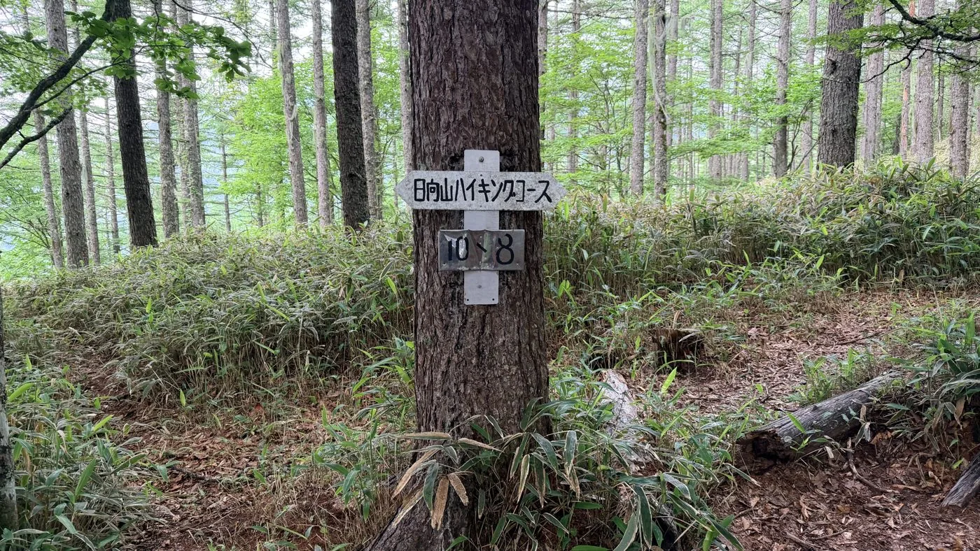
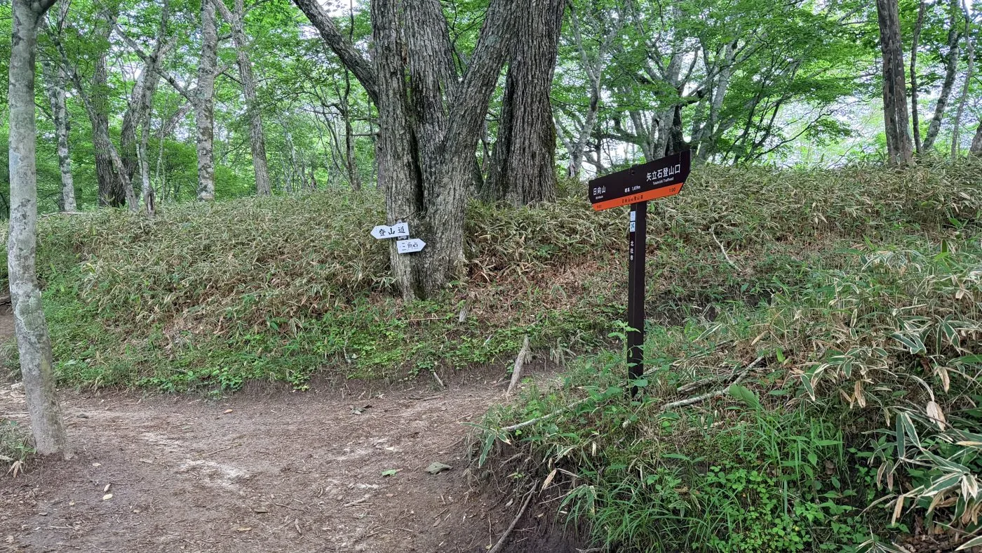
From the Ojiragawa Gorge (Kaikomagatake trailhead) you follow the forest road and trail up to the Yatateishi trailhead, then climb past the survey marker to the summit of Hinatayama. The editor walked this out-and-back from the Ojiragawa start in the early morning, covering about 7.7 km and around 960 m of ascent. It is quiet forest until just below the summit, and then the white sand of Gangahara suddenly spreads out before you.
Out-and-back from the Yatateishi trailhead (the easy, popular route)
Out & back
Difficulty
Beginner
Approx. time
About 2–3 hours round trip from Yatateishi
Day trip
Day trip · Beginner
If you start from the Yatateishi trailhead, reached by driving up the forest road, the elevation gain is small and you can enjoy Hinatayama and the sweeping view of Gangahara in half a day. It is the most-walked, introductory route on Hinatayama and is popular with families too. The parking space is small and fills up easily, so arriving early is recommended.
Editor's record
Editor's measured times
The editor's actual timings on this hike (from the video record). Use them as a guide to course times.
04:40Depart the Ojiragawa Gorge (Kaikomagatake trailhead) (early-morning start)
05:25Yatateishi trailhead
06:36Survey marker
06:44Reach the summit of Hinatayama (1,660 m; the white sand of Gangahara)
08:14Descend to the Ojiragawa Gorge (out-and-back, about 3h34m)
History & culture
History & culture
Hinatayama is a 1,660 m mountain rising in the front range of the Southern Alps in Hakushu-cho, Hokuto City, Yamanashi. It sits northeast of Kaikomagatake and is counted among the Yamanashi 100 Famous Mountains.
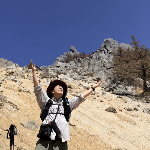
What has made this mountain famous is "Gangahara," which spreads across the west side of the summit. It is a pure-white expanse of sand and gravel, formed as granite weathered over long ages, like a beach that has appeared on top of the mountain. Also called the "beach in the sky," it is the place where, the moment you break out of the forest belt, the white sand, strange rocks, and views of Kaikomagatake and Yatsugatake suddenly open up.
Not especially high, and climbable in half a day from the Yatateishi trailhead up the forest road, its easy access and the extraordinary scenery at the summit make it popular with families and beginners. Some people also climb it from the Ojiragawa Gorge, combining it with a walk through the gorge.
Photos
Photos from the trail
All photos were taken by the editor on the actual hike. Tap to enlarge.
Yes. If you start from the Yatateishi trailhead up the forest road, the elevation gain is small and you can climb to Gangahara at the summit in half a day, so Hinatayama is popular with beginners and families. That said, Gangahara is a steep slope of granite sand and gravel and is slippery, so take particular care not to trip or slide on the descent. The editor walked up from the Ojiragawa Gorge and back — an early-morning hike of about 7.7 km and around 960 m of ascent.
What is "Gangahara (the beach in the sky)"?
It is a pure-white expanse of sand and gravel, formed from weathered granite, that spreads across the west side of the summit of Hinatayama. It is like a beach that has appeared on top of the mountain, and is also called the "beach in the sky." The greatest charm of this mountain is the moment you break out of the forest belt and the white sand, strange rocks, and views of Kaikomagatake and Yatsugatake suddenly open up. The sandy slope crumbles easily, so please follow the trail as you walk.
Which route is the usual one?
The most common route is the out-and-back over Hinatayama starting from the Yatateishi trailhead, reached by driving up the forest road — about 2–3 hours round trip. There is also a slightly longer route that climbs from the car park at the Ojiragawa Gorge via Yatateishi (the editor did this one, out and back). The parking space at Yatateishi is small and fills up easily, so arriving early is recommended.
What is the view from the summit?
Beyond the white sand of Gangahara, views of Kaikomagatake, Nokogiridake, Yatsugatake and more open up. On a clear day the contrast of white sand, blue sky and the surrounding mountains is superb. On the day the editor climbed, a faint mist hung over everything, but that instead made the world of white sand look all the more fantastical. It is a mountain whose face changes greatly with the weather.