Discover Yatsugatake & Southern Alps Discover Yatsugatake
Mt. Amari & Sentoboshiyama Hiking Guide | Walking the Ridge of Fuji Views and Autumn Colors · Measured course time

Mountain Guide | Southern Alps

Mt. Amari & Sentoboshiyama Hiking Guide | Walking the Ridge of Fuji Views and Autumn Colors · Measured course time

Difficulty & route
Beginner

A route along the ridge from Mt. Amari, on the border of Nirasaki City and Minami-Alps City, Yamanashi, via Oku-Amariyama and Onishi-mine, to Sentoboshiyama (2,139 m) and back. Both Mt. Amari and Sentoboshiyama are among the Yamanashi 100 Famous Mountains. The editor walked it early in the morning of October 21, 2026, taking in a sea of clouds over the Kofu Basin, autumn colors, and Mt. Fuji, which the editor's activity log describes as "always looking beautiful." This is a measured record of 8.4 km distance, 756 m of ascent, and 3 hours 42 minutes total (including breaks).

  • Amariyama
  • Sentoboshiyama2,139m
Elevation
2,139m
Course time
Round trip from the Amariyama parking area via Mt. Amari, Oku-Amariyama and Onishi-mine to Sentoboshiyama — about 3 hours 42 minutes (editor's measured time, incl. 17 min of breaks / October 2026)
Best season
The editor's hike was in autumn (October 21, 2026), with good views of autumn colors and Mt. Fuji. Mt. Amari's rengetsutsuji (Japanese azaleas) are said to be at their best from mid to late June (Yamanashi Prefecture tourism site). Prefectural Road Amariyama Koen Line is closed for winter from late November to late April, so the trailhead is accessible by car only from spring through autumn.
Distance
8.4km
Total ascent
756m
Parking
The Amariyama parking area (free) at the end of Prefectural Road Amariyama Koen Line. The editor started walking from here (October 21, 2026). Free parking is per the Yamanashi Prefecture tourism site (as of April 1, 2024).
0:00Elapsed0.0km1,646m
Elevation profileEditor's measured GPX · surface distance8.46km
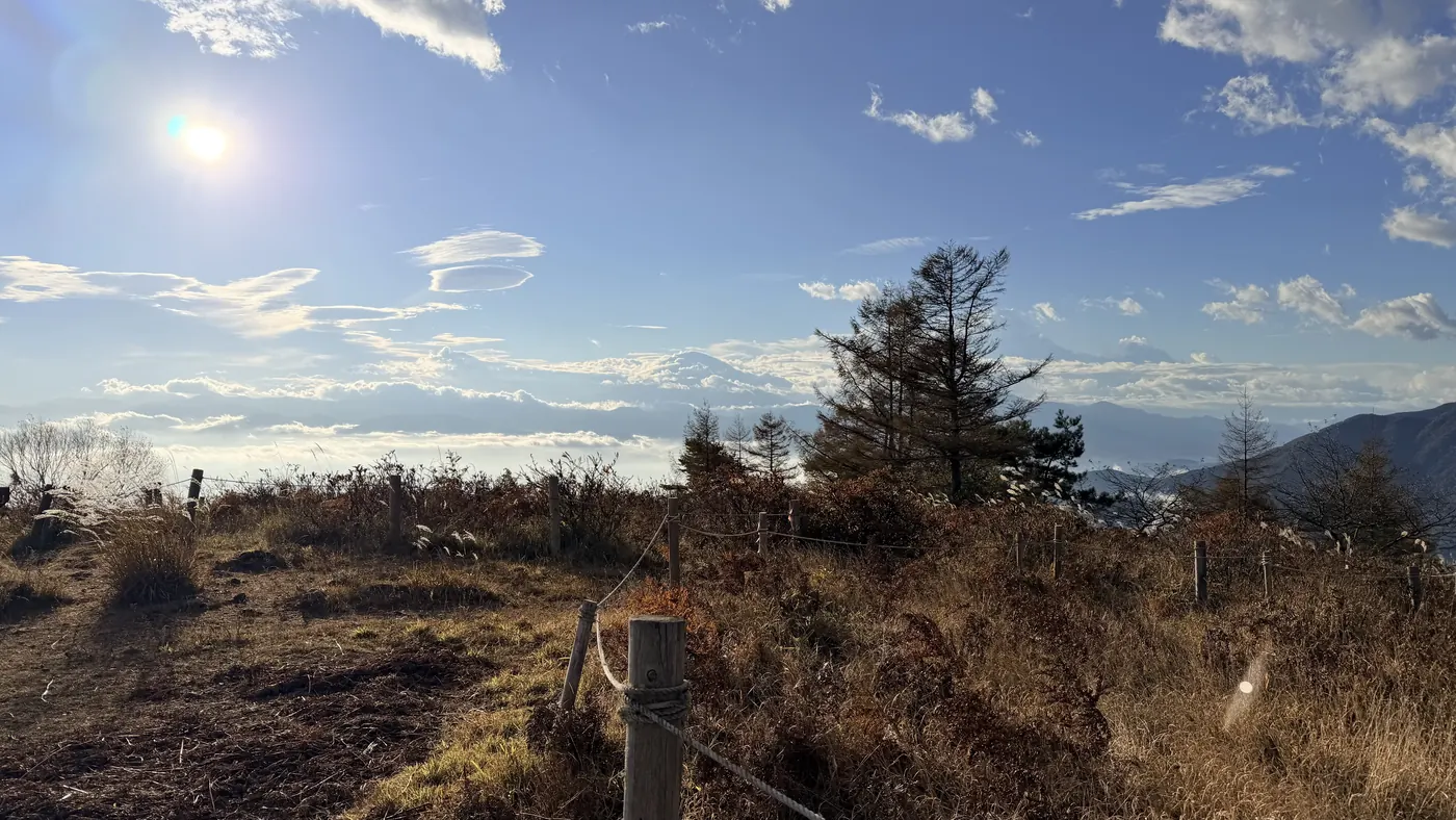
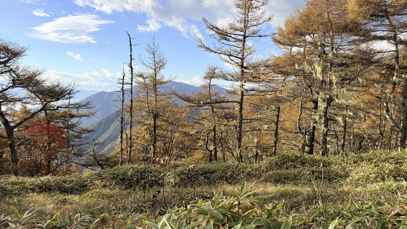
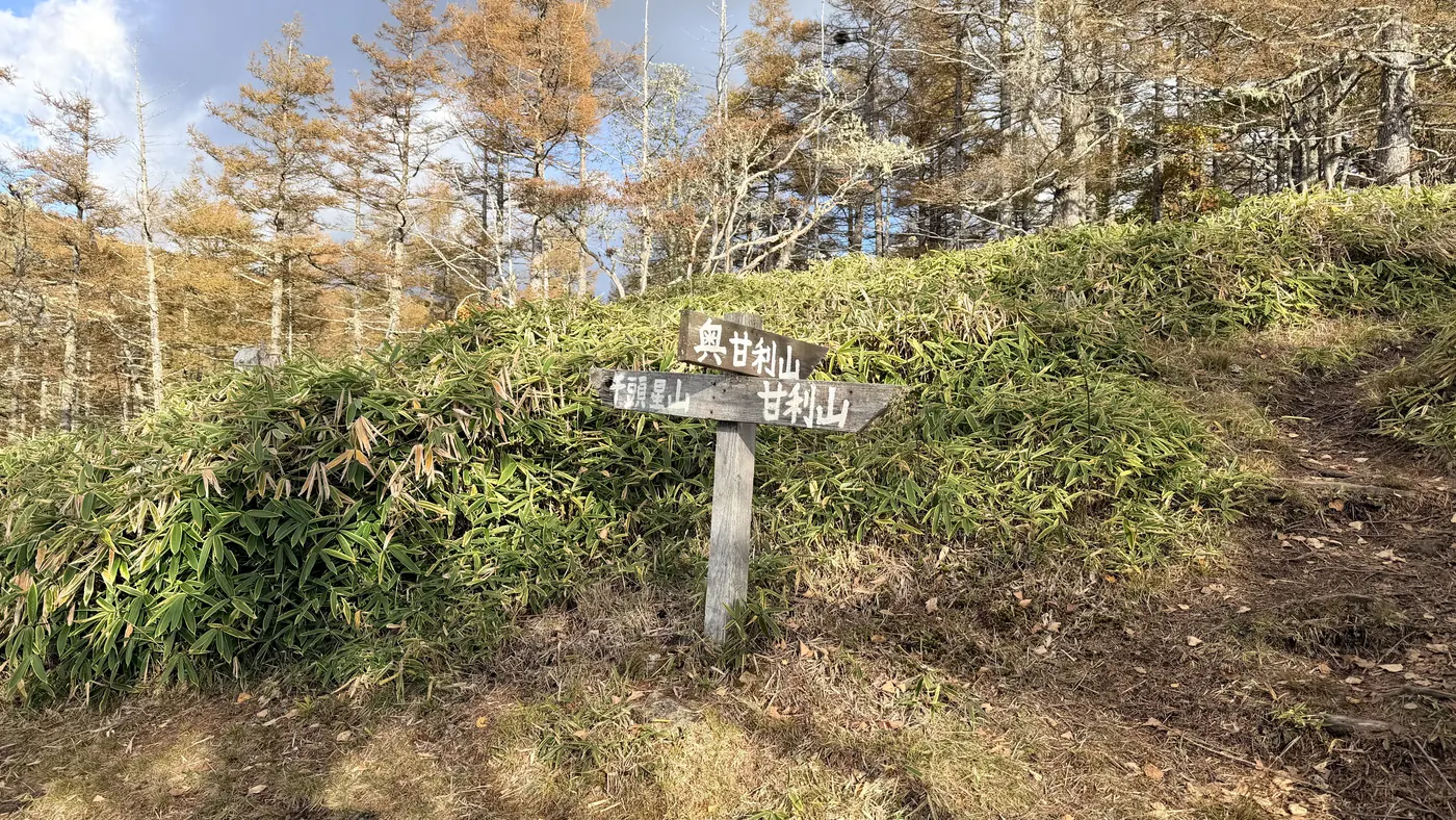
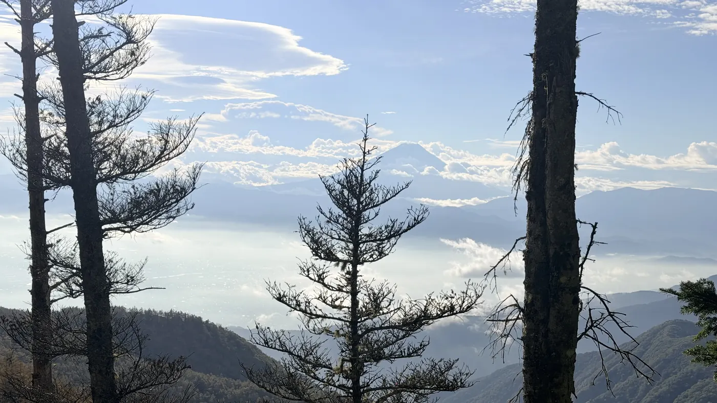
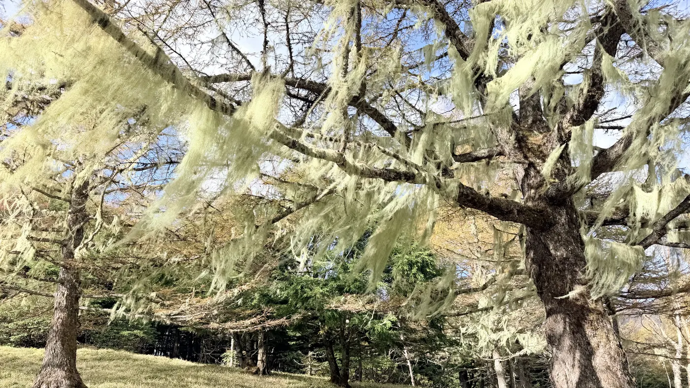
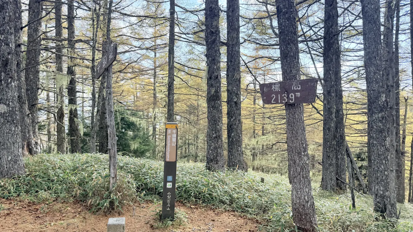
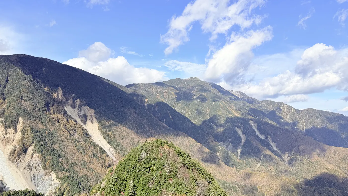
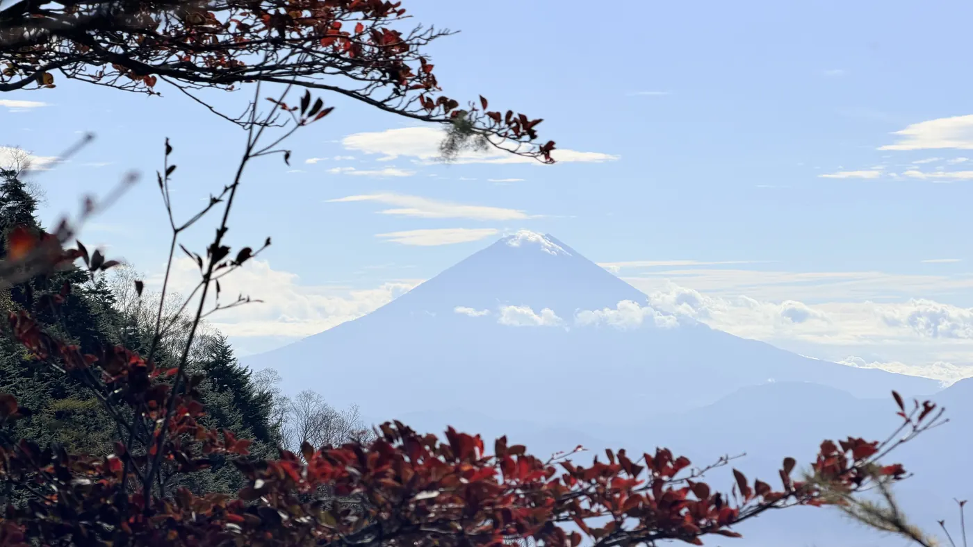
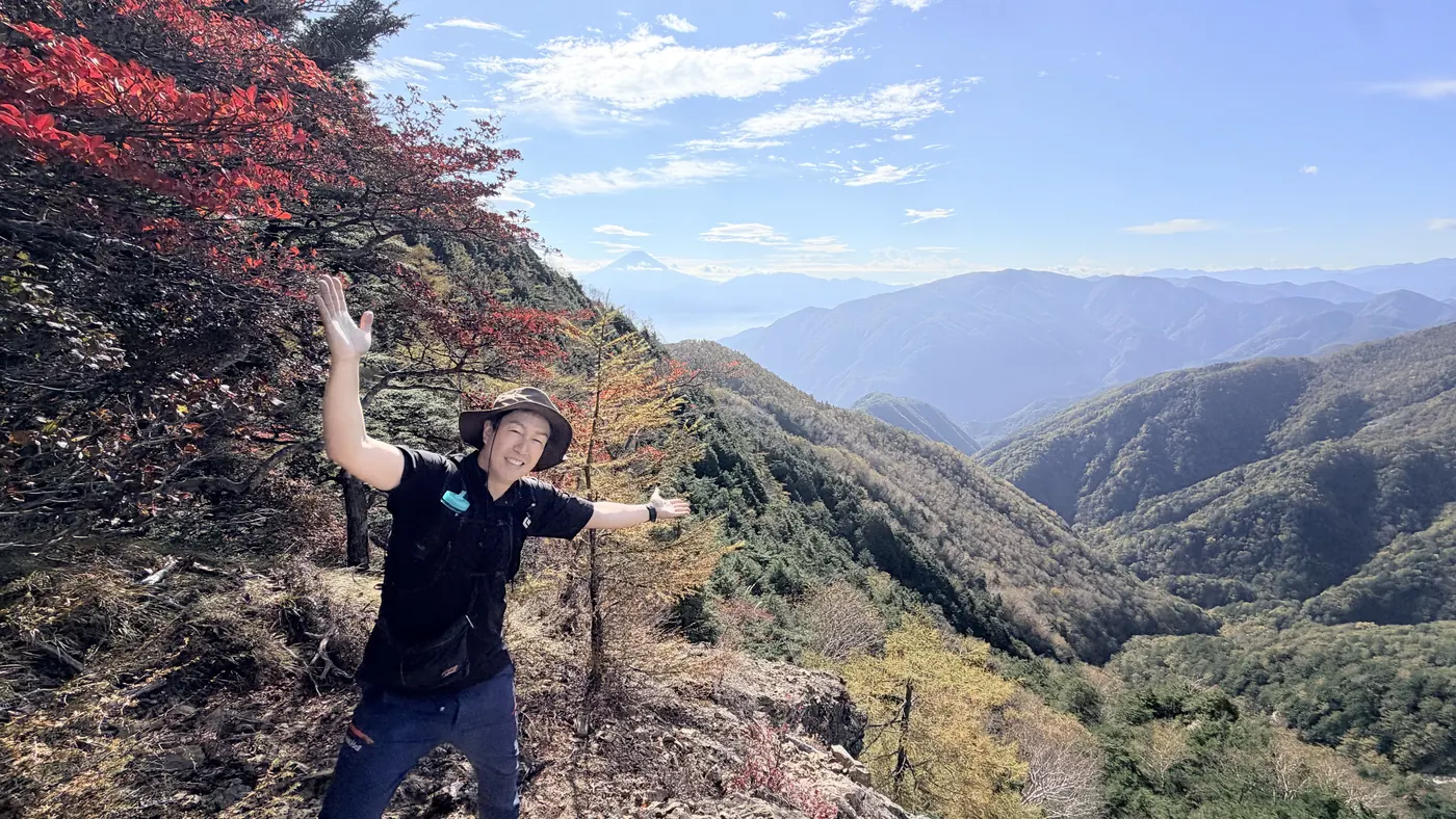
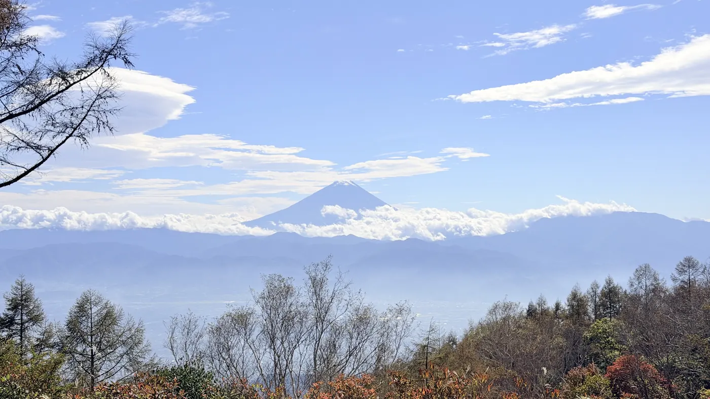
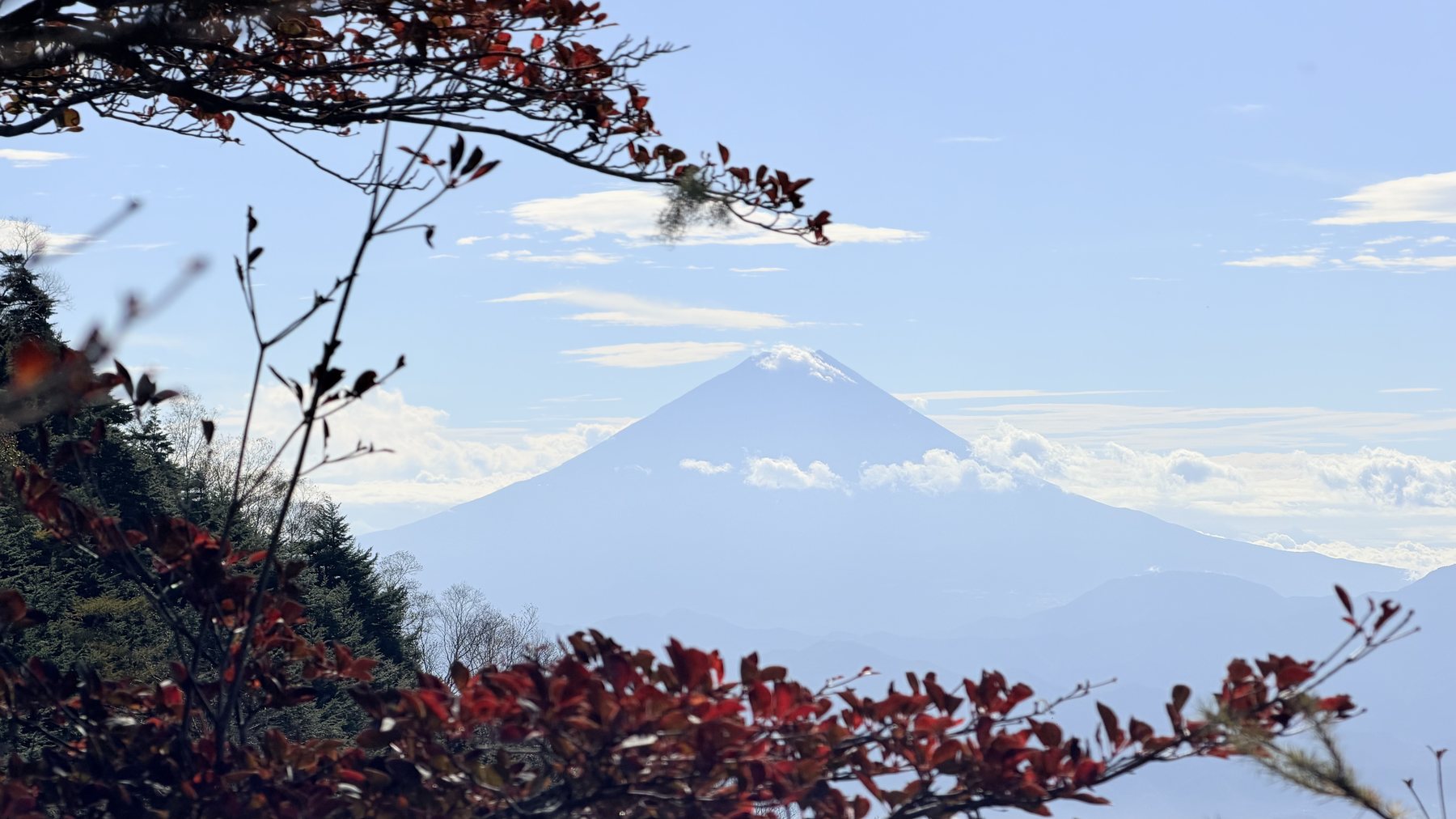
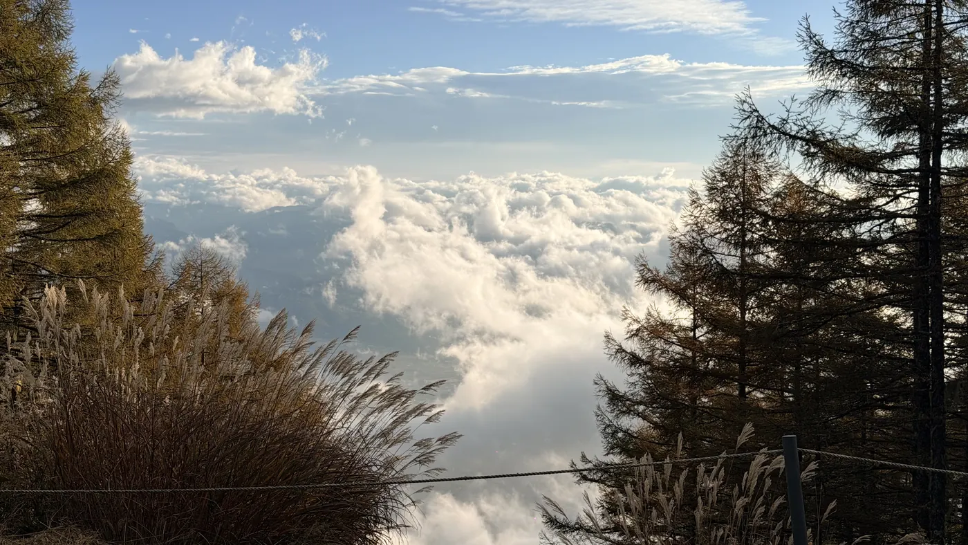
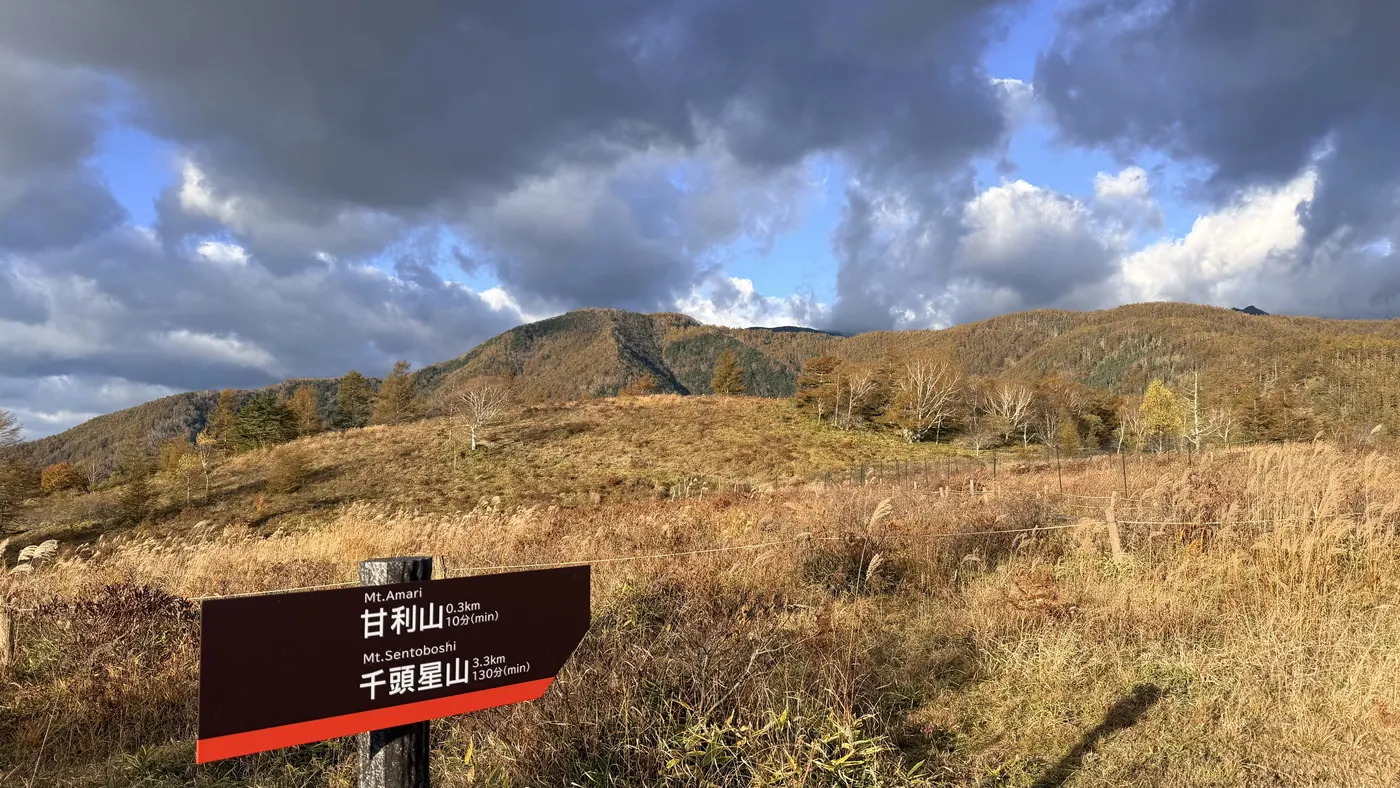
Start千頭星山 2,139mA sea of clouds over the Kofu Basin, seen near the Amariyama parking area (early morning) (click to enlarge)A grassy path toward Mt. Amari and a signpost pointing toward Mt. Amari and Sentoboshiyama (click to enlarge)The view from near the summit of Mt. Amari (click to enlarge)The path toward Oku-Amariyama, through a forest of colored larch trees (click to enlarge)The signpost at Oku-Amariyama (click to enlarge)Mt. Fuji and a sea of clouds seen through the trees on the way from Oku-Amariyama to Onishi-mine (click to enlarge)The forest from Onishi-mine toward Sentoboshiyama, with lichen hanging from the branches (click to enlarge)The summit marker at Sentoboshiyama (2,139 m). The summit is enclosed by trees (click to enlarge)The Southern Alps ridgeline (toward the Houou Sanzan range), seen from the viewpoint beyond Sentoboshiyama (click to enlarge)Mt. Fuji seen through the autumn colors from the viewpoint beyond Sentoboshiyama (click to enlarge)The editor at the viewpoint beyond Sentoboshiyama, with a valley of autumn colors behind (click to enlarge)A sea of clouds and Mt. Fuji, seen near the triangulation point on the way down (click to enlarge)Amariyama1,6002,30004.28.5 kmStart千頭星山 2,139mA sea of clouds over the Kofu Basin, seen near the Amariyama parking area (early morning) (click to enlarge)A grassy path toward Mt. Amari and a signpost pointing toward Mt. Amari and Sentoboshiyama (click to enlarge)The view from near the summit of Mt. Amari (click to enlarge)The path toward Oku-Amariyama, through a forest of colored larch trees (click to enlarge)The signpost at Oku-Amariyama (click to enlarge)Mt. Fuji and a sea of clouds seen through the trees on the way from Oku-Amariyama to Onishi-mine (click to enlarge)The forest from Onishi-mine toward Sentoboshiyama, with lichen hanging from the branches (click to enlarge)The summit marker at Sentoboshiyama (2,139 m). The summit is enclosed by trees (click to enlarge)The Southern Alps ridgeline (toward the Houou Sanzan range), seen from the viewpoint beyond Sentoboshiyama (click to enlarge)Mt. Fuji seen through the autumn colors from the viewpoint beyond Sentoboshiyama (click to enlarge)The editor at the viewpoint beyond Sentoboshiyama, with a valley of autumn colors behind (click to enlarge)A sea of clouds and Mt. Fuji, seen near the triangulation point on the way down (click to enlarge)Amariyama1,6002,30004.28.5 km
Route overviewEditor's measured GPS route on the GSI base map ·8.46km

Source: GSI tiles (Geospatial Information Authority of Japan) / The route is the editor's measured YAMAP activity track (GPX).Scroll-zoom is enabled after you click the map.

Location & access

LocationNirasaki City and Minami-Alps City, Yamanashi (foothills of the Southern Alps)
TrailheadAmariyama Parking Area/Nirasaki City, Yamanashi (at the end of Prefectural Road Amariyama Koen Line)35.6846, 138.3800Open in Google Maps →
AccessBy car: from Nirasaki IC on the Chuo Expressway, take Prefectural Road Amariyama Koen Line to the Amariyama parking area (about 50 minutes from Nirasaki IC, per the Yamanashi Prefecture tourism site). The editor noted in their activity log, "watch out — the road is narrow in places." The prefectural road is closed for winter from late November to late April (same site, as of April 1, 2024). By train, take a taxi from JR Nirasaki Station (same site).
Summit35.6757, 138.3544View on map →

Coordinates are the trailhead and summit points from the editor's own GPS track.

Watch

Watch this hike on video

Editor's note

Editor's note

編集長
編集長
Climbed on:2026-10-24

Mt. Amari and Sentoboshiyama are mountains in the foothills of the Southern Alps, straddling the border of Nirasaki City and Minami-Alps City, Yamanashi, and both are Yamanashi 100 Famous Mountains. The editor from Hokuto made a round trip from the Amariyama parking area to Sentoboshiyama early one autumn morning on October 21, 2026.

Climbing a grassy path from the parking area for about 13 minutes brings you to Mt. Amari. From there, the route follows the ridge through colored larch trees and bamboo grass via Oku-Amariyama and Onishi-mine. The summit of Sentoboshiyama (2,139 m) is enclosed by trees, but from a viewpoint a little further along the path beyond it, the editor saw the ridgeline toward the Houou Sanzan range and Mt. Fuji through the autumn colors.

The editor's measurement: 8.4 km distance, 756 m of ascent, and 3 hours 42 minutes in total (including 17 minutes of breaks). It's a round trip, returning by the same route.

The hike is also featured in the video on this page (published October 24, 2026).

Prefectural Road Amariyama Koen Line is said to close for winter from late November to late April (as of April 1, 2024). If you're planning a trip in late autumn, check the latest road information before heading out.

Routes

Choose your route

Amariyama parking area – Mt. Amari – Oku-Amariyama – Onishi-mine – Sentoboshiyama (round trip, the editor's route)

Round trip
Difficulty
Beginner
Approx. time
About 3 hours 42 minutes (editor's measured time, incl. 17 min of breaks)
Day trip
Day trip · Beginner

From the Amariyama parking area, climb a grassy path up to Mt. Amari. From there, follow the ridge through larch trees and bamboo grass via Oku-Amariyama and Onishi-mine to the tree-enclosed summit of Sentoboshiyama, then return the same way. The editor departed at 06:45, left Mt. Amari at 07:06, and reached Sentoboshiyama at 08:26 (about 1 hour 20 minutes). On the way back, the editor left Sentoboshiyama at 09:13 and returned to the parking area at 10:28 (about 1 hour 15 minutes).
Mt. Amari only (round trip from the parking area)

Round trip
Difficulty
Beginner
Approx. time
About 13 minutes from the parking area to Mt. Amari (editor's measured time: left the parking area at 06:47, reached Mt. Amari at 07:00)
Day trip
Day trip · Beginner

It's a short distance from the parking area to the summit of Mt. Amari. On the gentle slope from the northeast of the summit toward Hirogawara, there is said to be a large colony of rengetsutsuji (Japanese azaleas) at its best from mid to late June, per the Yamanashi Prefecture tourism site (the editor walked this in October).

Editor's record

Editor's measured times

The editor's actual timings on this hike (from the video record). Use them as a guide to course times.

  1. 06:45Depart the Amariyama parking area (a sea of clouds over the Kofu Basin)
  2. 07:00Mt. Amari (until 07:06)
  3. 07:24Oku-Amariyama (until 07:33)
  4. 08:07Onishi-mine (until 08:10)
  5. 08:26Sentoboshiyama (until 08:38)
  6. 08:58Turn back at the viewpoint beyond Sentoboshiyama (views toward the Houou Sanzan range and Mt. Fuji)
  7. 09:08Back at Sentoboshiyama (until 09:13)
  8. 09:25Onishi-mine
  9. 09:51Oku-Amariyama
  10. 10:09Mt. Amari
  11. 10:20The triangulation point (sea of clouds and Mt. Fuji)
  12. 10:28Arrive back at the Amariyama parking area

History & culture

History & culture

Mt. Amari and Sentoboshiyama are both selected as Yamanashi 100 Famous Mountains (numbers 40 and 41 on the list). Mt. Amari sits on the border of Nirasaki City and Minami-Alps City, Yamanashi, with Prefectural Road Amariyama Koen Line running almost to the summit. On the gentle slope from the northeast of the summit toward Hirogawara, there is a large colony of rengetsutsuji (Japanese azaleas), said to number around a hundred and fifty thousand plants, at its best from mid to late June (Yamanashi Prefecture tourism site).

Mt. Amari's elevation is given as 1,731 m in the Yamanashi 100 Famous Mountains list and similar sources. However, it has also been pointed out that the Geospatial Information Authority of Japan (GSI) topographic map shows a 1,740 m contour line near the summit (per Wikipedia's "Amariyama" article). Sentoboshiyama is 2,139 m. The editor extended the walk a little further to the viewpoint beyond it, and the highest point in the GPS log is on the ridge on the way from Sentoboshiyama to that viewpoint.

Photos

Photos from the trail

All photos were taken by the editor on the actual hike. Tap to enlarge.

FAQ

Frequently asked questions

How long does it take from Mt. Amari to Sentoboshiyama?
By the editor's measurement, it took about 1 hour 20 minutes from Mt. Amari (departed 07:06) via Oku-Amariyama and Onishi-mine to Sentoboshiyama (arrived 08:26), including breaks. The round trip from the Amariyama parking area to Sentoboshiyama is about 3 hours 42 minutes, including 17 minutes of breaks (October 21, 2026).
Can you see any views from the summit of Sentoboshiyama?
The summit is enclosed by trees. The editor went a little further along a path beyond Sentoboshiyama to a viewpoint, where they saw the ridgeline toward the Houou Sanzan range and Mt. Fuji through the autumn colors. The editor's activity log describes this path as a "variant route," so if you go, judge based on the state of the path.
Can I enjoy just Mt. Amari on its own?
Yes. From the Amariyama parking area to the summit of Mt. Amari took about 13 minutes by the editor's measurement. The rengetsutsuji (Japanese azaleas) are said to be at their best from mid to late June (Yamanashi Prefecture tourism site).
Can I go in winter?
Prefectural Road Amariyama Koen Line is said to close for winter from late November to late April (Yamanashi Prefecture tourism site, as of April 1, 2024). During this period you cannot drive to the Amariyama parking area. Please check the latest conditions with the Nirasaki City Tourism Association or similar.

← Back to all mountains