Akadake Hiking Guide | From Minoto to the highest peak of Yatsugatake, with Jizo Ridge course times
Difficulty & route
Intermediate
The main and highest peak of the Yatsugatake range, a 2,899 m Hyakumeizan. From Minoto via Gyoja-goya, you climb the chained, laddered Jizo Ridge and the Bunzaburo Ridge to a rocky summit. The lord of the southern Yatsugatake.
Akadake2,899m
Elevation
2,899m
Course time
A loop from Minoto — about 9 hours 59 minutes (editor's measured time, incl. breaks)
Best season
June to October (high summer to autumn colours). In the lingering-snow and deep-winter seasons it becomes a serious snow-covered rock ridge for advanced climbers only.
Distance
11.3km
Total ascent
1,248m
Parking
Parking at Minoto (Akadake Sanso, Yamanoko-mura). The forest road is rough, so many walk up from Minotoguchi instead.
0:00Elapsed0.0km1,693m
Elevation profileEditor's measured GPX · surface distance11.38kmRoute overviewEditor's measured GPS route on the GSI base map ·11.38km
LocationHokuto City, Yamanashi / Chino City, Nagano (Yatsugatake range, southern Yatsugatake)
TrailheadMinoto (Akadake Sanso)/Chino City, Nagano (Yatsugatake, Minoto)35.9821, 138.3255Open in Google Maps →
AccessBy car: from Suwaminami IC on the Chuo Expressway toward Yatsugatake Minotoguchi. The road to Minoto is an unpaved forest road (paid parking at Akadake Sanso and others). There are also buses from Chino Station to Minotoguchi.
Coordinates are the trailhead and summit points from the editor's own GPS track.
Watch
Watch this hike on video
Editor's note
Editor's note
編集長
Climbed on:2026-07-02
Akadake is the main and highest peak of the Yatsugatake range, a 2,899 m Hyakumeizan. At the centre of Yatsugatake, looked up at from the editor's home town of Hokuto, it stands especially high and shows rugged rock ridges. Among the same Yatsugatake peaks as Amidadake, Iodake and Tengudake, the Hokuto editor actually climbed it to lay out the sense of altitude and the panorama that only the highest peak can offer.
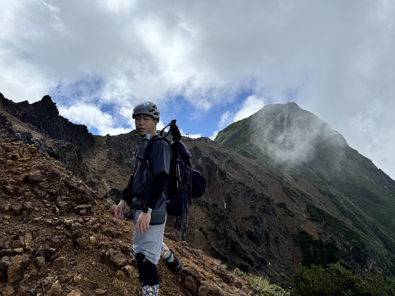
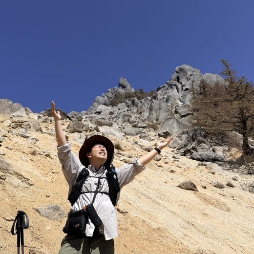
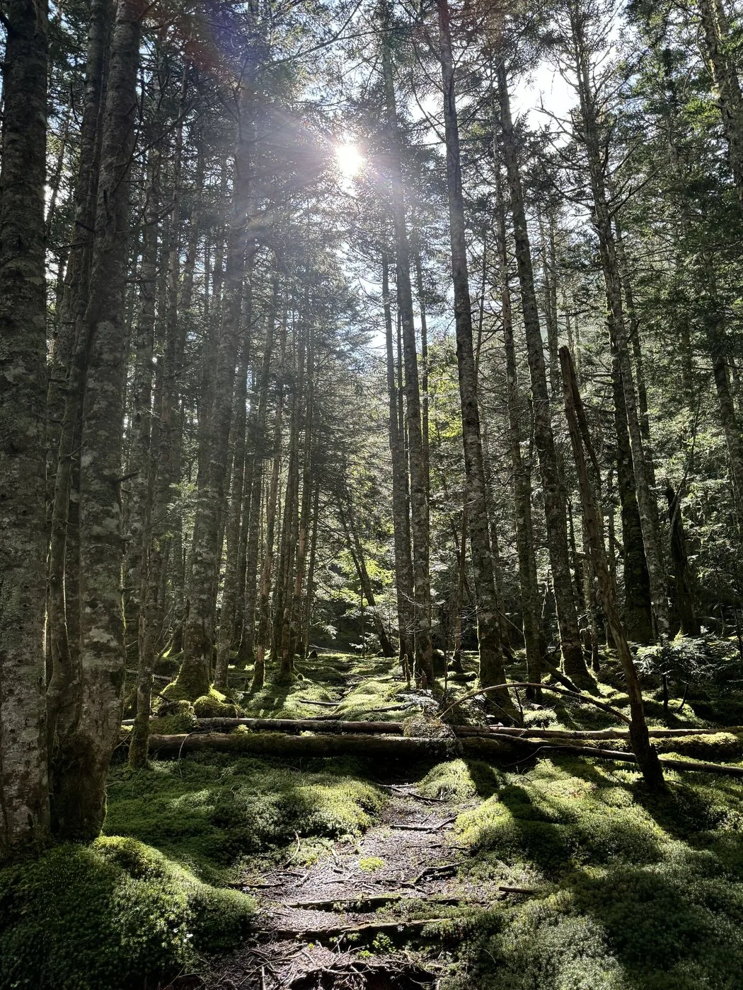
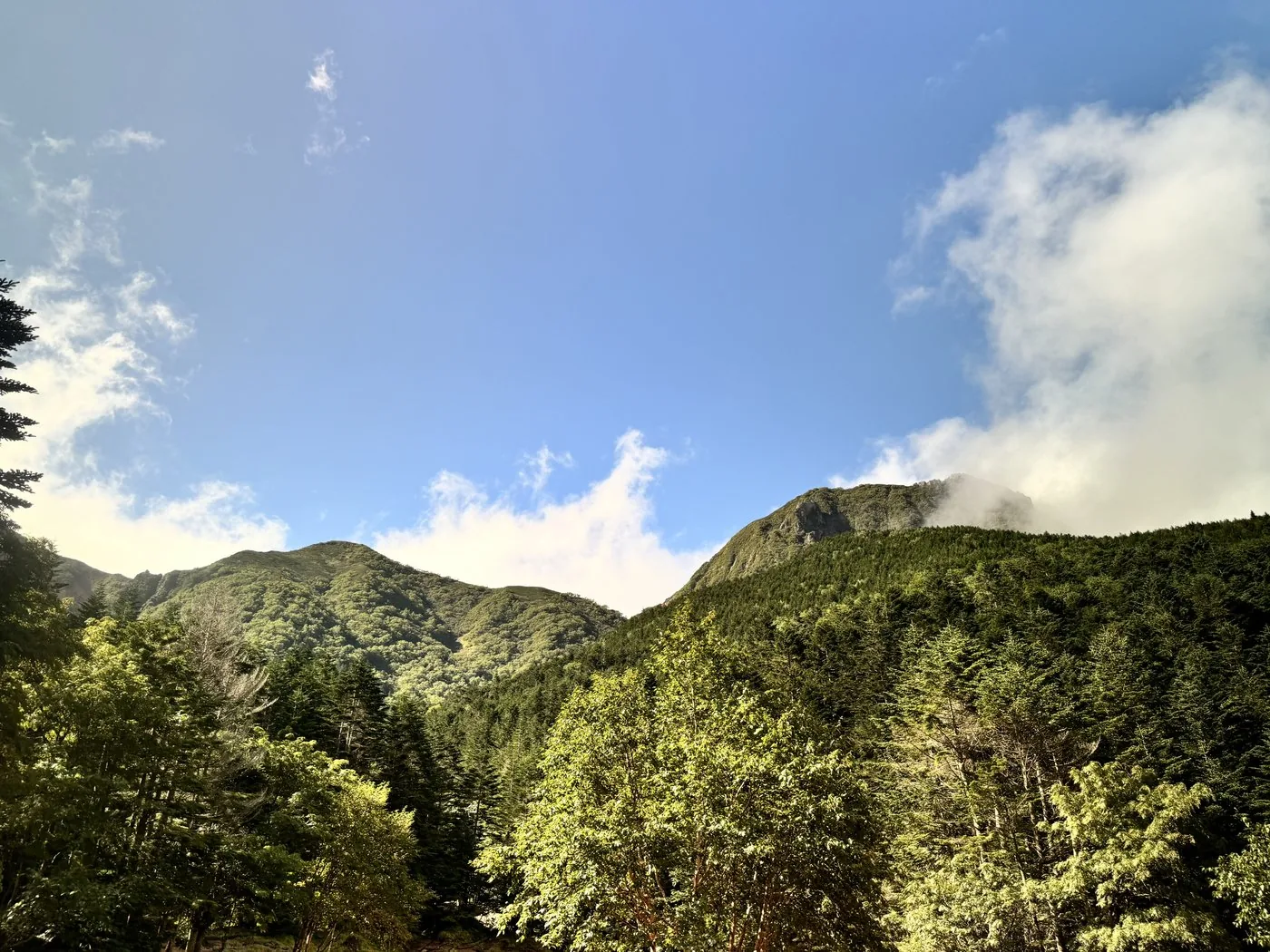
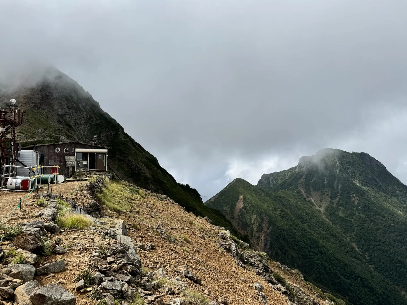
I walked it in September. From Minoto (Akadake Sanso) I followed the old-growth forest of the Minamisawa valley to Gyoja-goya. From there I climbed the Jizo Ridge, a run of chains and ladders, out onto the ridgeline, and beyond Akadake Tenboso the cloud-wrapped rock peak of Akadake rose up. At the summit I spent more than an hour taking my time, savouring the cluster of rocky peaks along the Yatsugatake main ridge and the sweeping panorama.
The editor's measured time was about 9 hours 59 minutes including breaks (departing 06:21, summit 11:24, down at 16:21), covering about 11.3 km. Even among Yatsugatake routes it is a loop with many rock sections and a strong sense of exposure, descending via the Bunzaburo Ridge. Three-point contact and care against falling rocks are indispensable — a rewarding main peak worth the climb.
The Jizo Ridge and Bunzaburo Ridge have a continuous run of chained, laddered rock. Move carefully with three-point contact, and watch for falling rocks. The ridgeline is windy and exposed, so in bad weather do not push on — make the call to retreat or turn back. In the lingering-snow and deep-winter seasons it becomes a serious snow mountain. Traverses linking Yokodake, Iodake and Amidadake are another charm unique to the Yatsugatake main ridge.
Routes
Choose your route
The Minoto route (a loop via Gyoja-goya, up Jizo Ridge / down Bunzaburo Ridge)
Loop
Difficulty
Intermediate
Approx. time
About 9h59m (editor's measured time) / standard about 7–8 hours
Day trip
Day trip possible · for the fit (or stay at Akadake Tenboso / Gyoja-goya)
From Minoto (Akadake Sanso) you follow the Minamisawa valley to Gyoja-goya. From there you climb the Jizo Ridge, a run of chains and ladders, out onto the ridgeline, then pass Akadake Tenboso to reach the rocky summit. It is usual to loop back down via the Bunzaburo Ridge. Even among Yatsugatake routes this one has many rock sections and a strong sense of exposure, so three-point contact and care against falling rocks are essential. The editor walked this loop too.
A traverse linking Amidadake, Yokodake and Iodake
Traverse
Difficulty
Intermediate
Approx. time
Traversing the southern Yatsugatake along the ridgeline
Day trip
Along the main ridge with a hut stay
Akadake sits at the centre of the main ridge of the southern Yatsugatake, with Yokodake and Iodake to the north and Nakadake and Amidadake to the south-west, all connected by rock ridges. Using mountain huts such as Akadake Tenboso and Akadake Kosen as bases, traverses linking Yokodake, Iodake and Amidadake are popular. All are rocky ridges with chained sections.
Editor's record
Editor's measured times
The editor's actual timings on this hike (from the video record). Use them as a guide to course times.
06:21Depart Minoto (Akadake Sanso) for Minamisawa
09:01Gyoja-goya (junction of the Jizo Ridge and Bunzaburo Ridge)
10:38Jizo-no-atama (topping out the chained, laddered Jizo Ridge onto the ridgeline)
11:24Summit of Akadake (2,899 m; the highest peak of Yatsugatake)
16:21Descend to Minoto (loop, about 9h59m)
History & culture
History & culture
Akadake is the main and highest peak of the Yatsugatake range, a 2,899 m Hyakumeizan (one of Japan’s 100 Famous Mountains). It rises at the centre of the southern Yatsugatake, on the border of Yamanashi and Nagano prefectures.
The name is said to come from the reddish-brown rock faces rich in iron; true to its name, the summit area beyond the green forest belt is a rugged rock ridge. Akadake Chojo Sanso stands just below the summit and Akadake Tenboso on the saddle of the ridge, serving as bases for many climbers.
From Akadake the main ridge of the southern Yatsugatake spreads out in all directions — Yokodake and Iodake to the north, Nakadake and Amidadake to the south-west. The view from the summit is magnificent, taking in Mt. Fuji, the Southern Alps, the Northern Alps and Okuchichibu. Starting from Minoto, the loop from Gyoja-goya over the Jizo Ridge and Bunzaburo Ridge is the most popular way up.
Photos
Photos from the trail
All photos were taken by the editor on the actual hike. Tap to enlarge.
It is the highest peak of Yatsugatake, and the Jizo Ridge and Bunzaburo Ridge have a continuous run of chains, ladders and steep rock — an Intermediate-and-above mountain. It is maintained but exposed, and being used to passing rock sections with three-point contact is desirable. Depending on your fitness and experience, consider a plan that includes a stay at Akadake Tenboso or Gyoja-goya. In the lingering-snow and winter seasons it is a snow mountain for advanced climbers.
Which route is the usual one?
The standard is a loop: from Minoto (Akadake Sanso) into Gyoja-goya via the Minamisawa valley, up the Jizo Ridge to Akadake, and down the Bunzaburo Ridge. The editor walked this loop too. There are also the Kenkai Ridge and Shinkyoji Ridge (on the Yamanashi side) and others, but all are for the fit, with rock sections.
Can you climb it together with Amidadake or Iodake?
Akadake sits at the centre of the main ridge of the southern Yatsugatake, connected by rock ridges to Yokodake and Iodake to the north and Nakadake and Amidadake to the south-west. Using bases such as Akadake Tenboso and Akadake Kosen, traverses linking these peaks are popular. All are rocky ridges with chained sections, so plan with plenty of time and energy to spare.
What is the view from the summit?
As the highest peak of Yatsugatake the view is magnificent, taking in Mt. Fuji, the Southern Alps, the Northern Alps and Okuchichibu. On the day the editor climbed, he spent more than an hour relaxing at the summit. Choose a day with good weather and you can fully enjoy the cluster of rocky peaks along the main ridge and the sweeping panorama.