Discover Yatsugatake & Southern Alps Discover Yatsugatake
Yakedake Hiking Guide | To the North Peak via the Shin-Nakanoyu Route · An Active Volcano with Rime Ice and Fumaroles · Measured Course Time

Mountain Guide | Northern Alps

Yakedake Hiking Guide | To the North Peak via the Shin-Nakanoyu Route · An Active Volcano with Rime Ice and Fumaroles · Measured Course Time

Difficulty & route
Intermediate

Yakedake (one of Japan's 100 Famous Mountains) is an active volcano in the southern Northern Alps, straddling Matsumoto City in Nagano and Takayama City in Gifu. On October 28, 2026, the editor hiked out and back from the Shin-Nakanoyu trailhead to the North Peak (2,444 m). This is a record of a mountain transitioning from autumn to winter: starting in autumn forest, the trees turn white from around 1,800 m elevation, and above 2,000 m the trail turns to snow. It is a measured record of 6.6 km distance, 847 m of ascent, and 4 hours 46 minutes total (including breaks).

  • Yakedake North Peak2,444m
Elevation
2,455m
Course time
Out-and-back from the Shin-Nakanoyu trailhead to Yakedake's North Peak — about 4 hours 46 minutes (editor's measured time, incl. 28 minutes of breaks / October 2026)
Best season
The editor's hike was on October 28, 2026. The climb began in a forest that still felt like autumn, but from around 1,800 m elevation the trees started turning white, and above 2,000 m there was snow on the trail as well (from the editor's activity log). Even in late October you may encounter snow or ice. In the video, the editor says, "You have to come to the Northern Alps thinking the season is about a month and a half different from the lowlands." Conditions in other seasons have not been confirmed.
Distance
6.6km
Total ascent
847m
Parking
Parking at the Shin-Nakanoyu trailhead. The editor started on foot from here (October 28, 2026). Number of spaces and fees not confirmed.
0:00Elapsed0.0km1,607m
Elevation profileEditor's measured GPX · surface distance6.69km
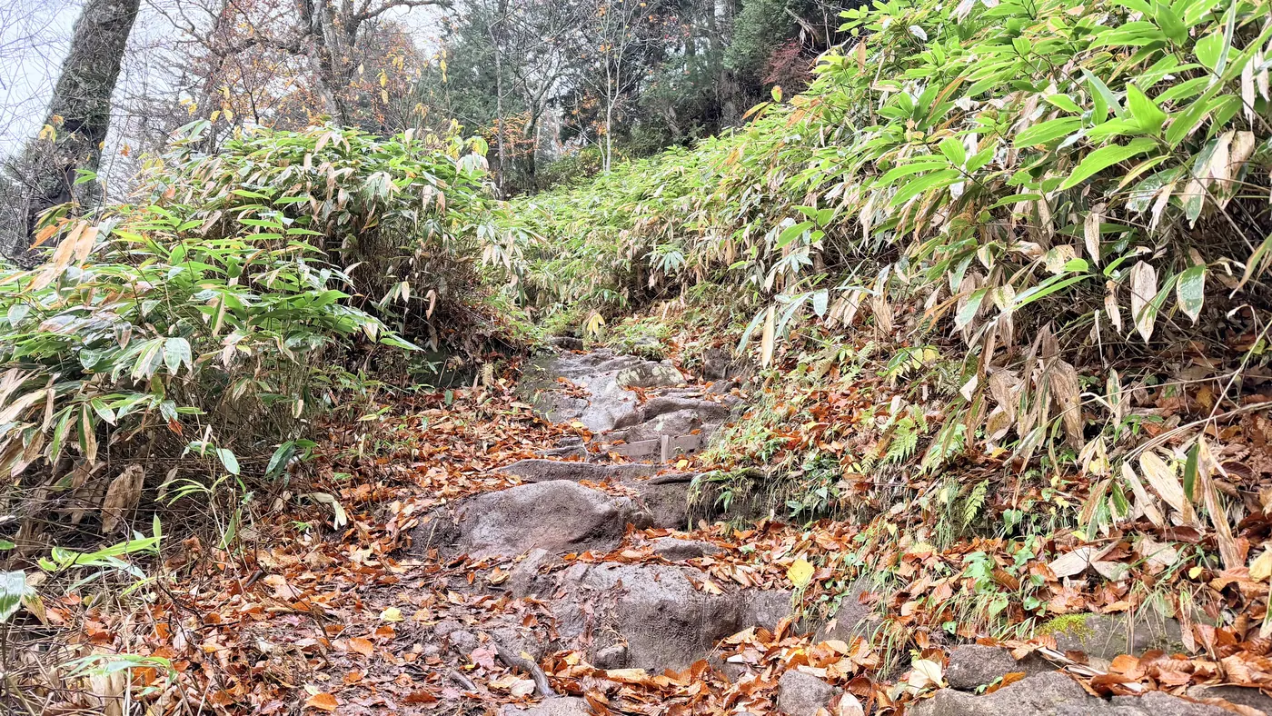
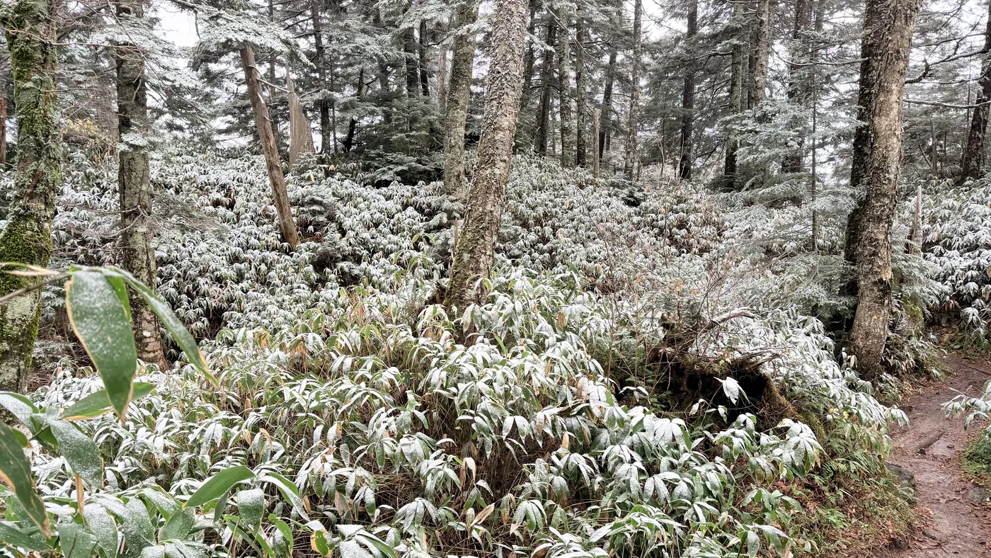
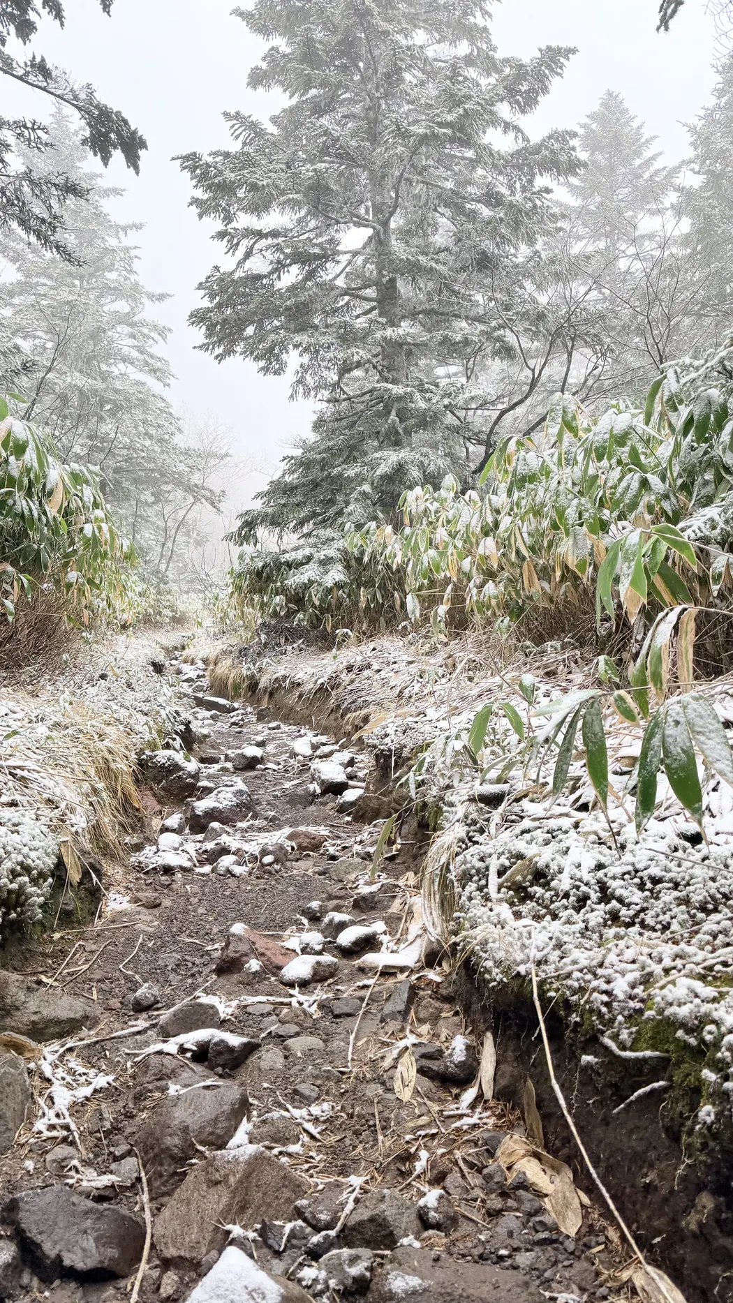
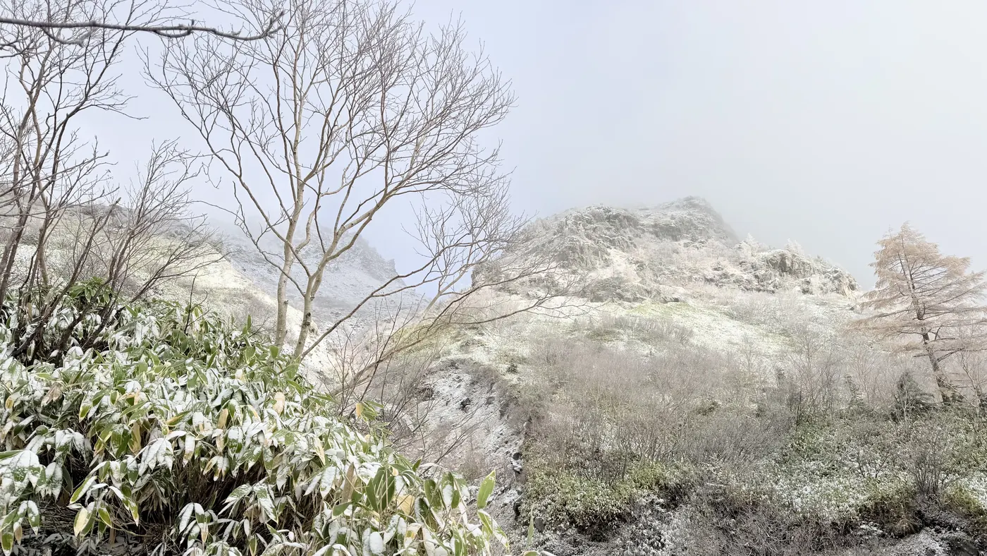
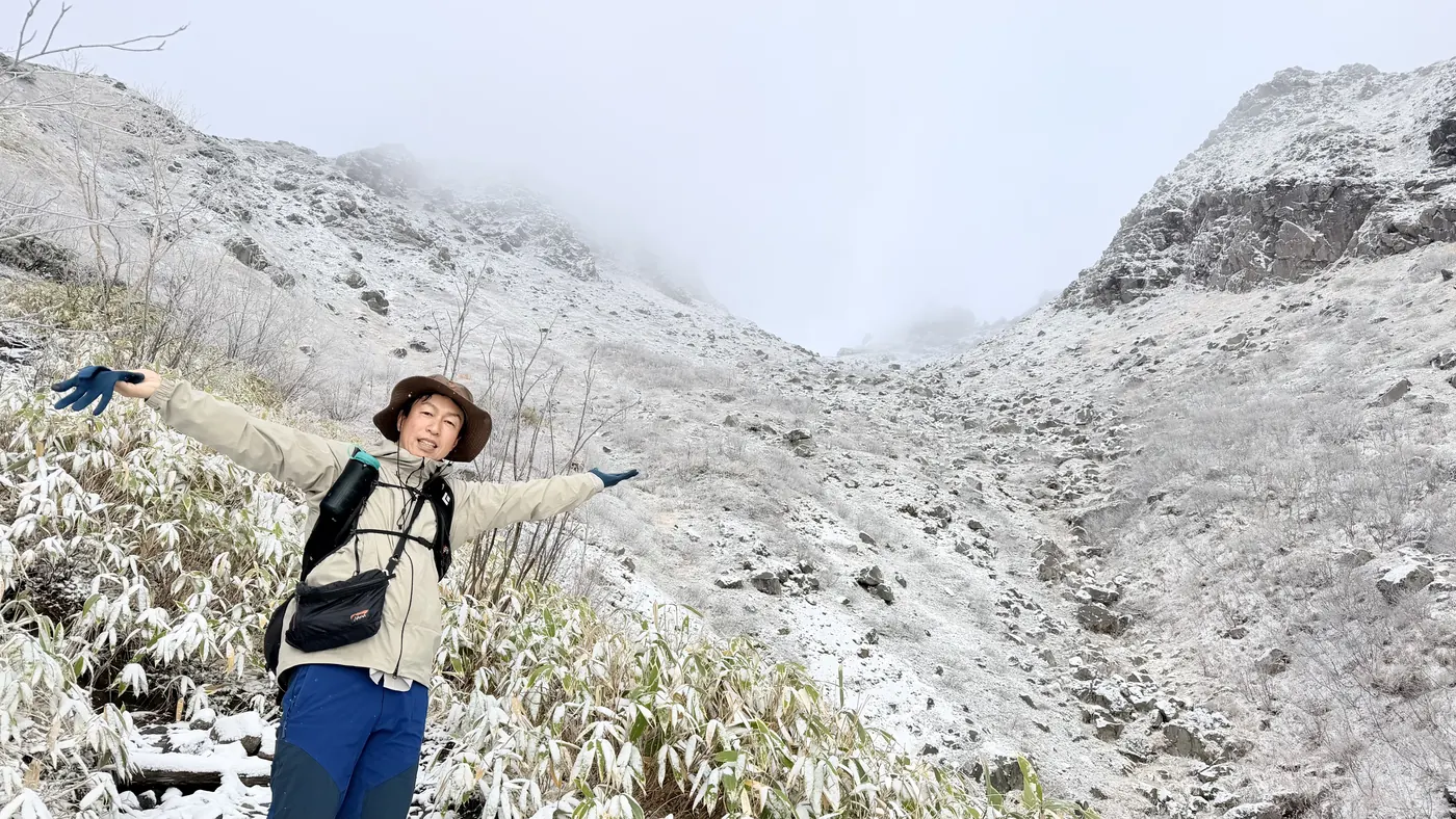
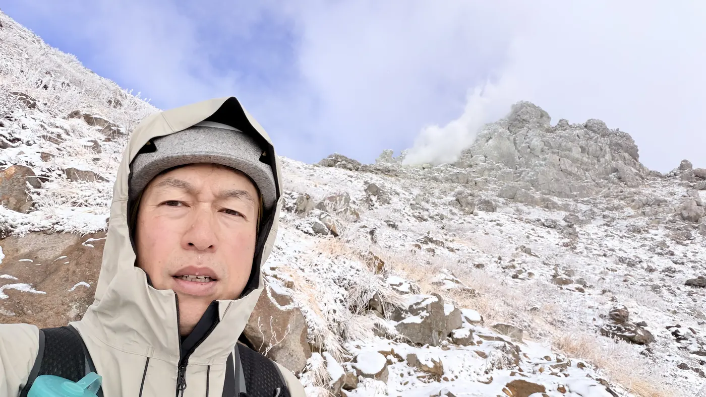
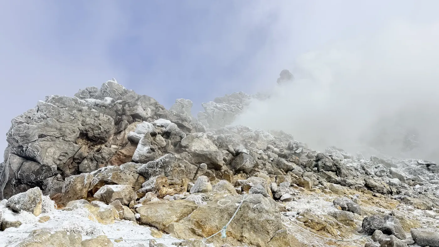
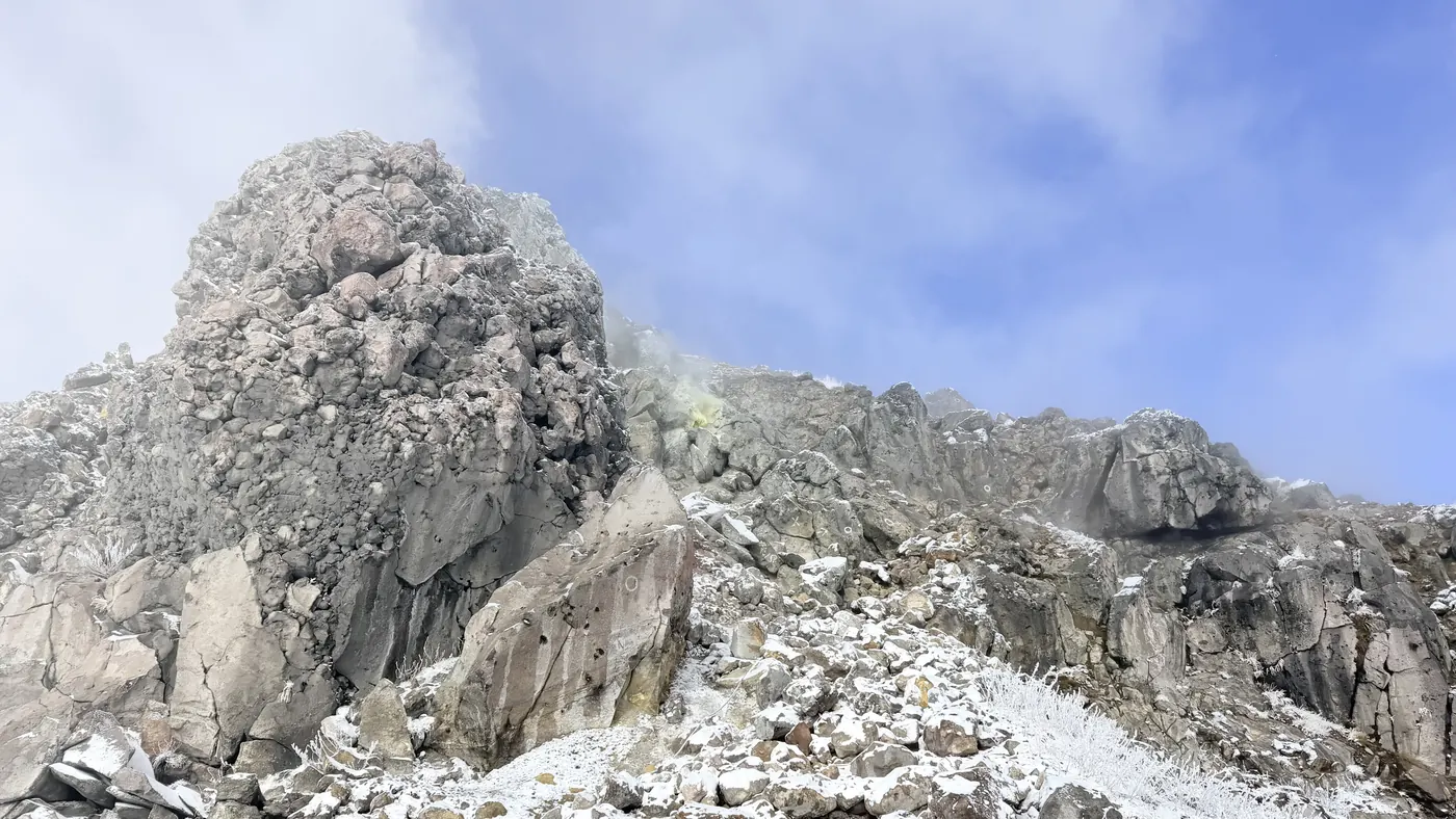
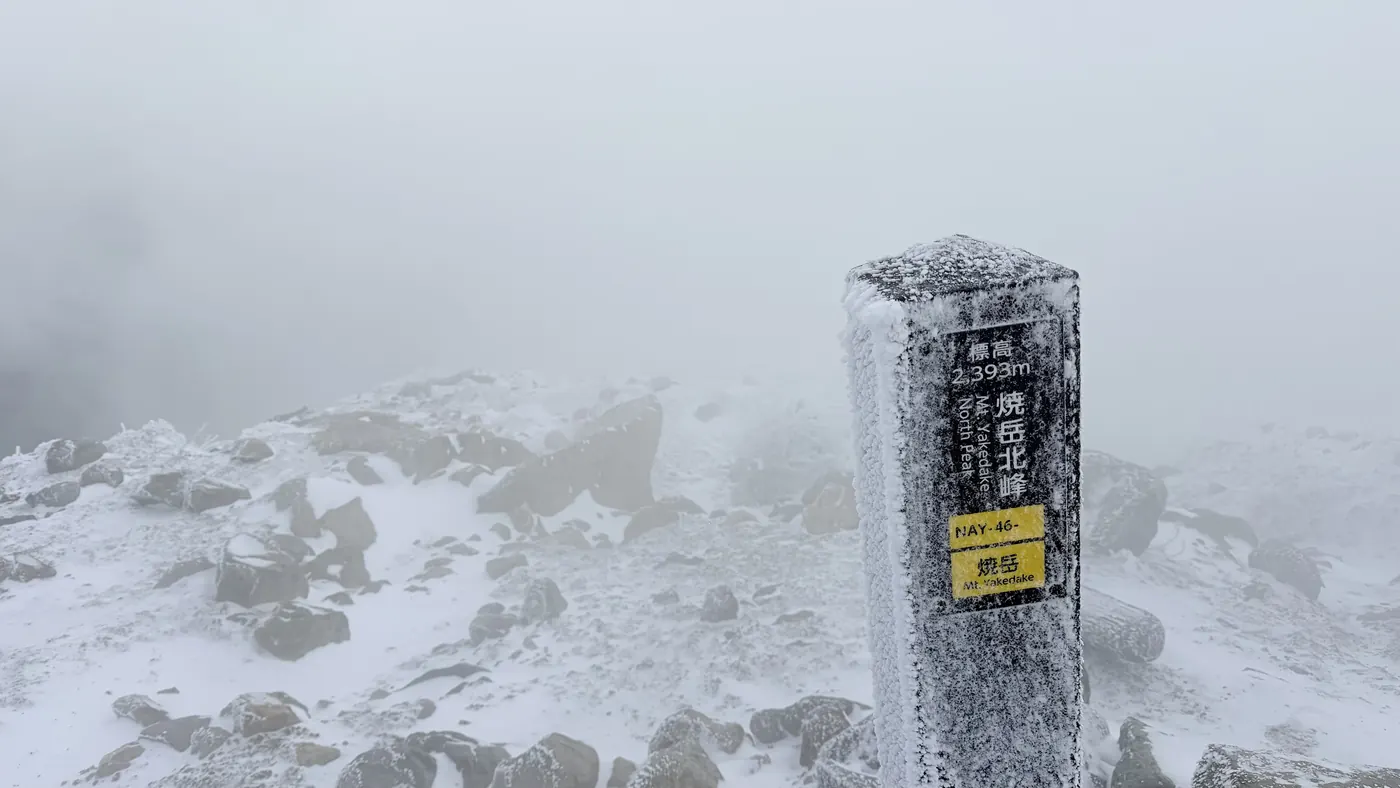
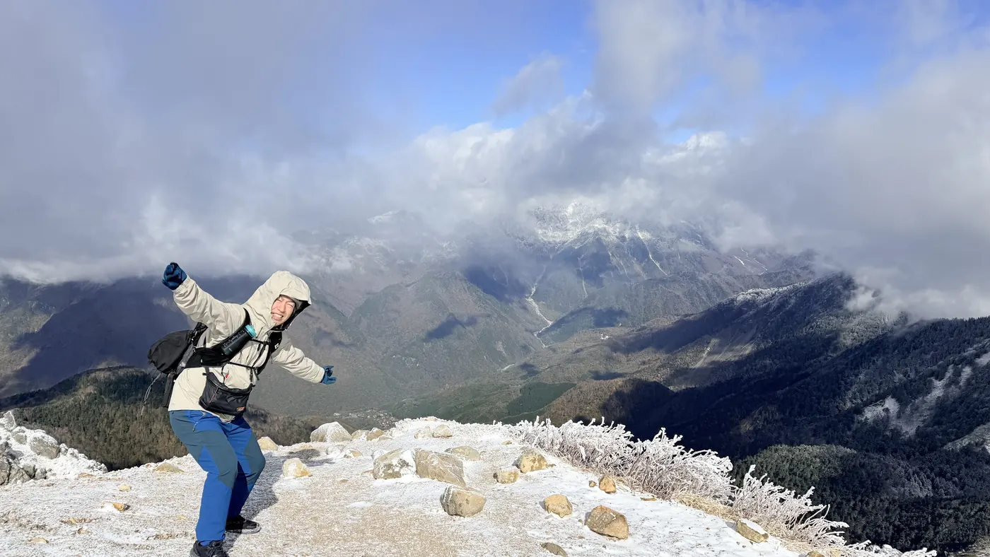
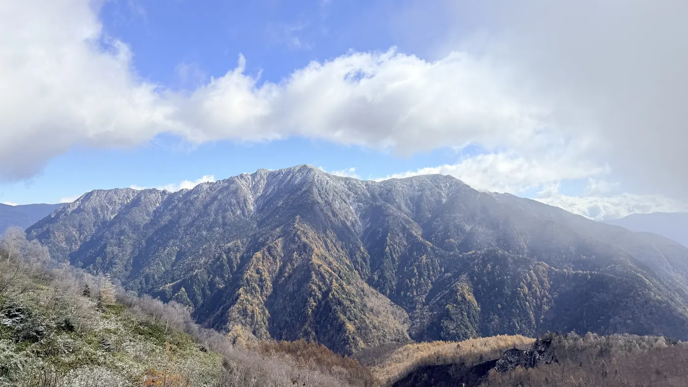
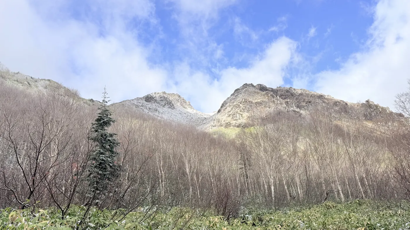
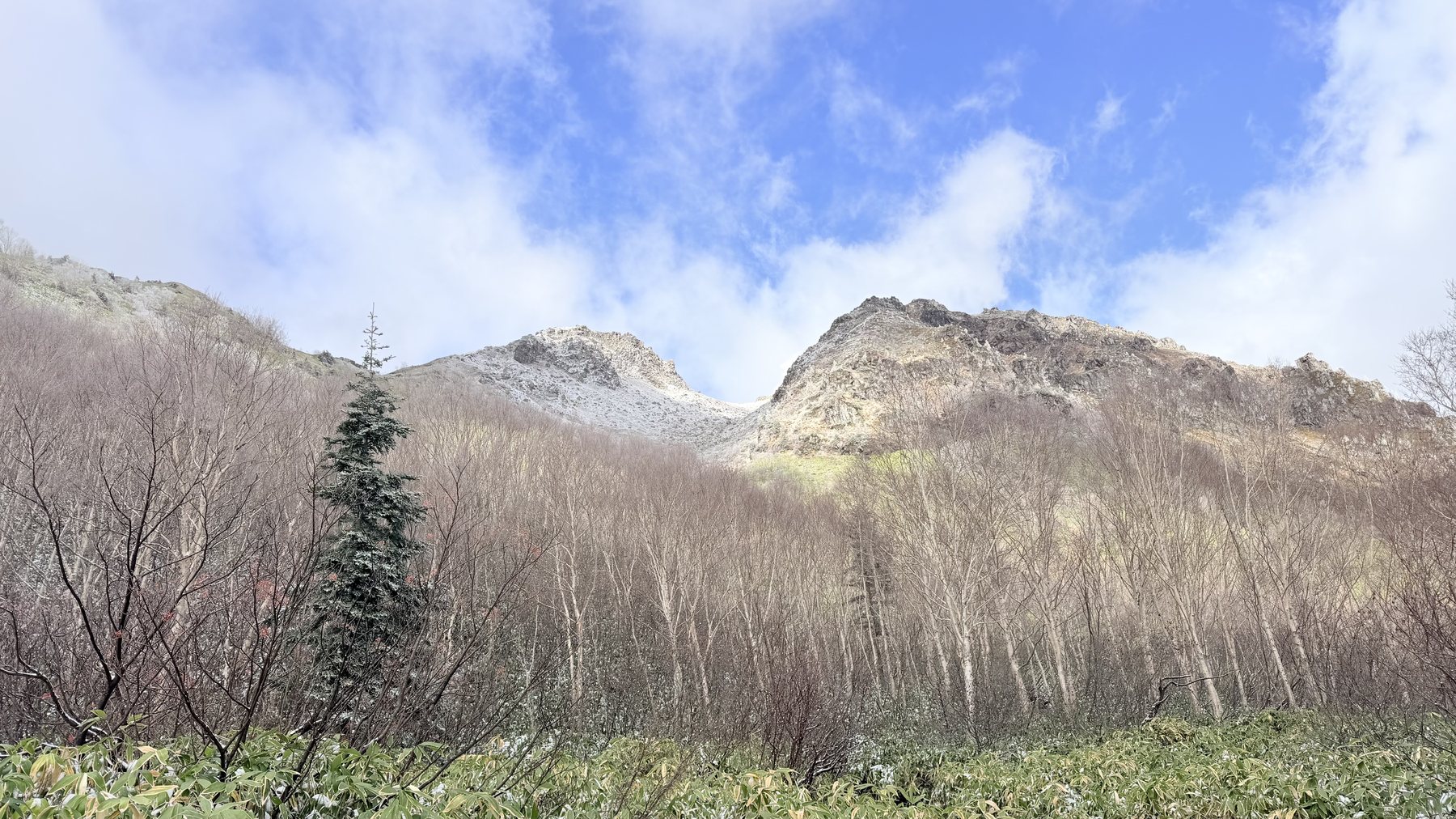
Start焼岳北峰 2,444mThe forest at the start of the climb. A trail still with an autumn feel (click to enlarge)Around 1,800 m elevation. The bamboo grass and trees begin to turn faintly white (click to enlarge)Around 2,000 m elevation. Snow begins to accumulate on the trail as well (click to enlarge)Yakedake's snow-dusted rock face, visible after clearing the forest (click to enlarge)The editor climbing a snow-covered slope (click to enlarge)On the rocky terrain toward the summit. Fumes rise from the rocks in the background (click to enlarge)Rocky terrain near the summit. White fumes rise from between the rocks (click to enlarge)A large rock just below the summit, and blue sky through a break in the clouds (click to enlarge)Yakedake North Peak's summit marker, thickly coated in rime ice (click to enlarge)The editor surveying the surrounding mountains from the summit as the clouds break (click to enlarge)A mountain range seen under blue sky during the descent (click to enlarge)Snow-dusted Yakedake, looked up at during the descent (click to enlarge)1,6002,60003.36.7 kmStart焼岳北峰 2,444mThe forest at the start of the climb. A trail still with an autumn feel (click to enlarge)Around 1,800 m elevation. The bamboo grass and trees begin to turn faintly white (click to enlarge)Around 2,000 m elevation. Snow begins to accumulate on the trail as well (click to enlarge)Yakedake's snow-dusted rock face, visible after clearing the forest (click to enlarge)The editor climbing a snow-covered slope (click to enlarge)On the rocky terrain toward the summit. Fumes rise from the rocks in the background (click to enlarge)Rocky terrain near the summit. White fumes rise from between the rocks (click to enlarge)A large rock just below the summit, and blue sky through a break in the clouds (click to enlarge)Yakedake North Peak's summit marker, thickly coated in rime ice (click to enlarge)The editor surveying the surrounding mountains from the summit as the clouds break (click to enlarge)A mountain range seen under blue sky during the descent (click to enlarge)Snow-dusted Yakedake, looked up at during the descent (click to enlarge)1,6002,60003.36.7 km
Route overviewEditor's measured GPS route on the GSI base map ·6.69km

Source: GSI tiles (Geospatial Information Authority of Japan) / The route is the editor's measured YAMAP activity track (GPX).Scroll-zoom is enabled after you click the map.

Location & access

LocationMatsumoto City, Nagano / Takayama City, Gifu (southern Northern Alps)
TrailheadShin-Nakanoyu Trailhead/Azumi, Matsumoto City, Nagano (National Route 158, above Nakanoyu Onsen)36.2041, 137.5986Open in Google Maps →
AccessBy car: head to the Shin-Nakanoyu trailhead, above Nakanoyu Onsen on National Route 158 (Wikipedia, "Yakedake"). The editor parked at the Shin-Nakanoyu trailhead and hiked out and back from there (October 28, 2026). It took about 1 hour 40 minutes from Hokuto City (editor's video). In the video, the editor notes that the Shin-Nakanoyu trailhead closes in winter and becomes inaccessible. The timing of the closure has not been confirmed, so from autumn onward check road conditions before heading out.
Summit36.2287, 137.5897View on map →

Coordinates are the trailhead and summit points from the editor's own GPS track.

Watch

Watch this hike on video

Editor's note

Editor's note

編集長
編集長
Climbed on:2026-10-28
Updated: 2026-10-30

Yakedake is an active volcano in the southern Northern Alps, straddling Matsumoto City in Nagano and Takayama City in Gifu, and one of Japan's 100 Famous Mountains. On October 28, 2026, the Hokuto-based editor hiked out and back from the Shin-Nakanoyu trailhead to the North Peak (2,444 m).

Just past the trailhead there is a sign giving the volcanic alert level and climbing cautions, and on October 28, 2026 it also posted a notice that the Kamikochi course was closed.

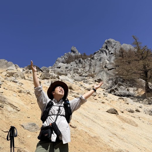
The start of the climb is forest that still carries an autumn feel, with continuous mud and rocks. From around 1,800 m elevation the trees began turning white, and above 2,000 m there was snow accumulated on the trail as well. Clearing the forest, Yakedake's rugged, snow-dusted rock face appears before you. White fumes rise from the rocky area near the summit, and the smell of sulfur grows stronger too. The summit marker at the North Peak was thickly coated in rime ice, and the summit had violent winds. The summit was shrouded in fog, but afterward the surrounding mountains became visible through breaks in the clouds.

The editor's measured record was 6.6 km in distance, 847 m of ascent, and 4 hours 46 minutes total (including 28 minutes of breaks). Since climbing the highest point, the South Peak (2,455 m), is prohibited, this is an out-and-back course that turns back at the North Peak.

Yakedake is an active volcano. As of October 30, 2026, the volcanic alert level was 1, but it can change, so check the Japan Meteorological Agency's latest volcano information before heading out.

Routes

Choose your route

Shin-Nakanoyu Route (Shin-Nakanoyu Trailhead to Yakedake North Peak · Out-and-back · The editor's route)

Out and back
Difficulty
Intermediate
Approx. time
About 4 hours 46 minutes (editor's measured time, incl. 28 minutes of breaks)
Day trip
Day trip · Intermediate

This route starts from the Shin-Nakanoyu trailhead, above Nakanoyu Onsen on National Route 158, and follows a south-southeast ridge upward. At around 2,060 m elevation it joins the Nakanoyu Route at Shimobori-deai (Wikipedia, "Yakedake"). The editor departed at 06:54 and reached the North Peak around 09:39 (about 2 hours 45 minutes). On the way down, they left the summit area at 10:03 and returned to the trailhead at 11:40 (about 1 hour 37 minutes). The early forest section has a lot of mud and rocks, and once you clear the forest it becomes a climb over loose rock and scree. In the video, the editor says, "I think it's one of the easier climbs among the 100 Famous Mountains, but the final stretch is quite a tough climb."

Editor's record

Editor's measured times

The editor's actual timings on this hike (from the video record). Use them as a guide to course times.

  1. 06:54Depart the Shin-Nakanoyu trailhead (forest still with an autumn feel)
  2. 07:21Around 1,800 m elevation. Trees begin turning white
  3. 08:00Above 2,000 m elevation, snow appears on the trail as well
  4. 08:24Clear the forest, and Yakedake's snow-dusted rock face comes into view
  5. 09:39Arrive at Yakedake's North Peak (rime ice on the summit marker; after fog, the clouds broke and the surrounding mountains came into view)
  6. 10:03Depart the summit area
  7. 11:40Arrive back at the Shin-Nakanoyu trailhead

History & culture

History & culture

Yakedake is a stratovolcano rising in the southern Northern Alps (Hida Mountains), straddling Matsumoto City in Nagano and Takayama City in Gifu, and is one of Japan's 100 Famous Mountains. In elevation, the highest point, the South Peak, is 2,455 m (the second-order triangulation point is 2,455.4 m), and the North Peak is 2,444.3 m. Near the summit is Shogaike, one of the craters, and there is a crater lake between the South and North Peaks. On the western flank of the North Peak there are fumaroles emitting sulfur (Wikipedia, "Yakedake").

Photos

Photos from the trail

All photos were taken by the editor on the actual hike. Tap to enlarge.

FAQ

Frequently asked questions

How long does it take from the Shin-Nakanoyu trailhead to Yakedake's North Peak?
By the editor's measurement, it took about 2 hours 45 minutes from the Shin-Nakanoyu trailhead (departed 06:54) to Yakedake's North Peak (arrived 09:39). The round trip, including 28 minutes of breaks, was about 4 hours 46 minutes (October 28, 2026).
Can you climb Yakedake's highest point, the South Peak?
The highest point, the South Peak (2,455 m), has crumbly rock and climbing is prohibited (Wikipedia, "Yakedake"). The editor also turned back at the North Peak (2,444 m).
Is there snow even in late October?
On October 28, 2026, when the editor hiked, the trees turned white from around 1,800 m elevation, and above 2,000 m there was snow on the trail as well. The editor brought chain spikes. Conditions vary by year, so check the latest information before heading out.
Where can I check volcano information?
You can check it through the Japan Meteorological Agency's volcano information (eruption warnings and volcanic alert levels). As of October 30, 2026, the volcanic alert level was 1, having been lowered from 2 to 1 on March 4, 2026. The sign at the trailhead states that entry restrictions are imposed once Level 2 or higher is announced. Be sure to check the latest information before climbing.
Can you cross Yakedake and descend to Kamikochi?
On October 28, 2026, when the editor hiked, the Kamikochi course (from the Kamikochi-side Yakedake trailhead to Yakedake-goya hut) was closed. According to the on-site notice, the closure period is from October 22, 2026 to mid-May 2027 (planned). The editor went out and back to the Shin-Nakanoyu trailhead.
Do I need a helmet?
The Japan Meteorological Agency calls on hikers to take safety measures such as wearing a helmet while climbing (March 4, 2026). The editor also brought one and wore it near the summit.
Is the elevation of Yakedake's North Peak 2,393 m or 2,444 m?
The summit marker reads "Elevation 2,393 m," and the editor's video also cites this figure. However, materials from the Ministry of Land, Infrastructure, Transport and Tourism give the North Peak as 2,444 m, and the Geospatial Information Authority's elevation data for the editor's highest GPX point is also about 2,441 m. This page uses 2,444 m. The reason for the discrepancy on the marker has not been confirmed.
Is there cell phone signal at the summit?
On October 28, 2026, when the editor climbed, both SoftBank and au showed 4 bars at the North Peak (editor's video). This varies by device, weather, and location, so don't plan around relying on signal.
What is an active volcano?
According to the Japan Meteorological Agency's explanation, it refers to volcanoes that have erupted within roughly the past ten thousand years, as well as volcanoes with currently active fumarolic activity. It does not refer only to mountains that are erupting right now.

← Back to all mountains