Nokogiridake Hiking Guide | Course times for the Kamanashigawa route, one of the Southern Alps’ toughest
Difficulty & route
Advanced
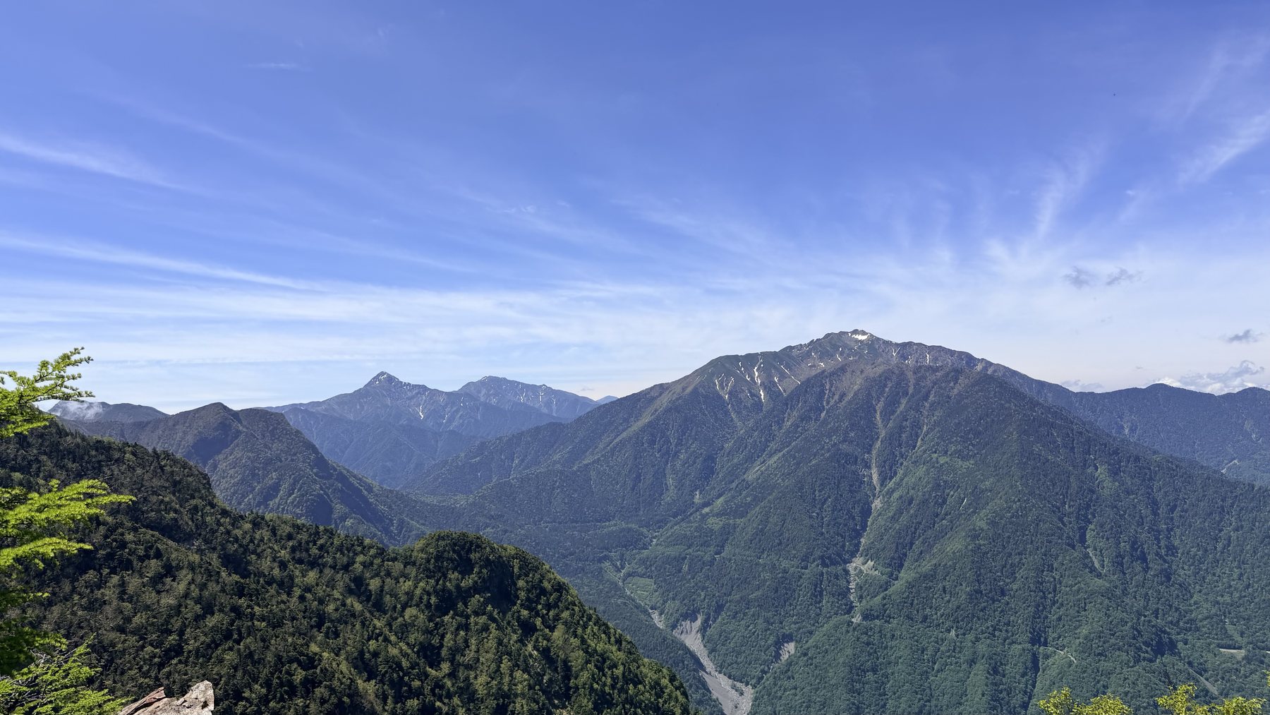
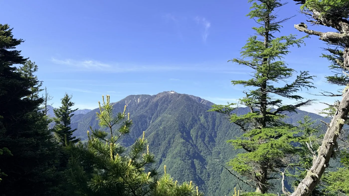
A saw-toothed rocky ridge running northwest of Kaikomagatake. From a long forest road along the headwaters of the Kamanashi River you gain the ridge, then work through rock faces and route-finding to the First High Point. One of the toughest routes in the Southern Alps.
鋸岳(第一高点)2,685m
Elevation
2,685m
Course time
Kamanashigawa route, out and back — about 12 hours 47 minutes (editor's measured time, incl. breaks)
Best season
From early summer once the lingering snow has melted, through autumn. Being a rocky ridge, avoid it in bad weather or rain.
Distance
25.6km
Total ascent
2,215m
Parking
A space in front of the Kamanashigawa forest-road gate (few spaces).
0:00Elapsed0.0km934m
Elevation profileEditor's measured GPX · surface distance26.87kmRoute overviewEditor's measured GPS route on the GSI base map ·26.87km
LocationHokuto City, Yamanashi / Ina City, Nagano (the northernmost tip of the Southern Alps)
TrailheadKamanashigawa forest-road gate/Hokuto City, Yamanashi (Kamanashi River headwaters)35.8569, 138.2246Open in Google Maps →
AccessBy car: head for the Kamanashigawa forest-road gate from the direction of Kobuchizawa IC or Suwaminami IC on the Chuo Expressway. Beyond the gate lies a long forest-road walk.
Coordinates are the trailhead and summit points from the editor's own GPS track.
Watch
Watch this hike on video
Editor's note
Editor's note
編集長
Climbed on:2026-09-17
Nokogiridake is a mountain of 2,685 m (First High Point) running northwest of Kaikomagatake. As its name suggests, rock ridges rise steeply like the teeth of a saw, and it is known as one of the toughest routes in the Southern Alps, demanding passage of unstable rock faces and route-finding. The Hokuto-based editor walked this local northern tip of the Southern Alps in person and lays out the material for your judgement.
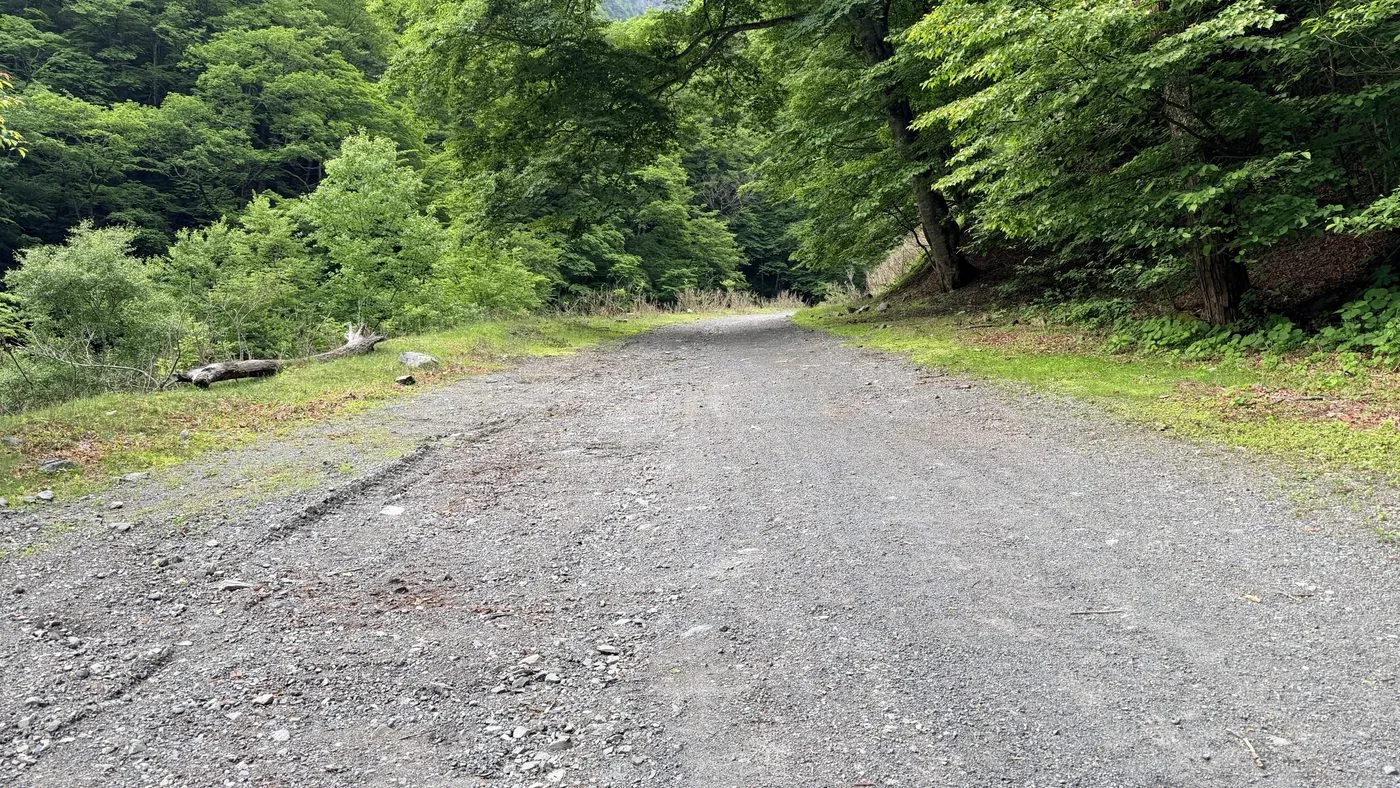
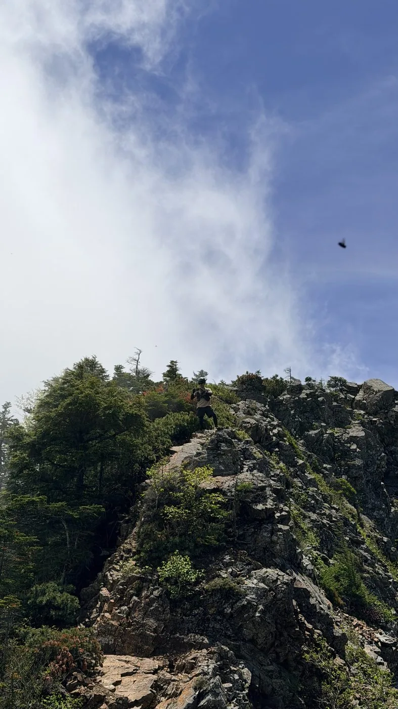
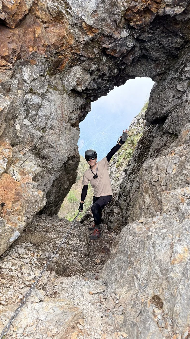
The route walked was the Kamanashigawa route, tracing up the headwaters of the Fujikawa (Kamanashi River). The first half is an endless walk along the forest road beside the headwaters, then a steep climb from Yokodake Pass to the ridge. Beyond that the saw-toothed rocky ridge runs on and on, and you aim for the First High Point while tackling chains and a window opened in the rock (the Shikamado). The round trip is a long 27 km or so, and a mistake in handling the rock faces could prove fatal.
On parking, too, the editor talks about what it was actually like that day in the video. He mentions there is no parking area in front of the Kamanashigawa forest-road gate, so he pulled his car over to the side of the road ([video 0:59](https://www.youtube.com/watch?v=gbw52O2-Pek&t=59s)). He also mentions that from there he continued along the forest road by bicycle (hike on 2026-06-17, [video 2:35](https://www.youtube.com/watch?v=gbw52O2-Pek&t=155s)). That said, whether bicycle use on the forest road is permitted can vary depending on circumstances, so please check the latest information yourself beforehand.
The editor’s measured time was about 12 hours 47 minutes including breaks (depart 04:21, summit 11:28, descend 17:08). It was a day of walking out a long forest road and a forbidding rocky ridge with a helmet on. To actually stand on the saw-toothed ridge carved beside Kaikomagatake, gazed up at from Hokuto at its foot, brings a satisfaction like no other.
This is clearly a mountain for advanced hikers. Rock-face experience, a helmet and reliable route-finding are prerequisites. Escape options are few and the activity time is long, so keep to an early start without fail, and forgo entering the mountain on a day when the weather is set to break.
Routes
Choose your route
Kamanashigawa route (Fujikawa headwaters, western side)
Out and back
Difficulty
Advanced
Approx. time
About 12h47m (editor's measured time)
Day trip
A day trip is an ultra-long haul, for strong hikers only
From the Kamanashigawa gate you walk endlessly along the forest road that follows the headwaters, then climb steeply from Yokodake Pass to the ridge. Beyond that comes a continuous run of unstable rocky ridge and route-finding: you tackle chains and the rock window (Shikamado) to reach the First High Point. The round trip is a long 27 km or so, and a mistake in handling the rock faces can be fatal. It is one of the Southern Alps’ toughest routes, and the editor walked out the long day with a helmet on.
Todai / Kakubeisawa route, or a traverse from Kaikomagatake
Out and back / traverse
Difficulty
Advanced
Approx. time
One or more nights is usual
Day trip
For advanced hikers
There is also a route pushing up Kakubeisawa from Todai on the Ina side, and a traverse from Kaikomagatake, but each involves crumbly rock faces and steep couloirs (runze) — a path strictly for advanced hikers.
Editor's record
Editor's measured times
The editor's actual timings on this hike (from the video record). Use them as a guide to course times.
04:21Depart the Kamanashigawa gate (onto the long forest road along the headwaters)
05:41Still walking the forest road (about 1,340 m elevation, 7.5 km point)
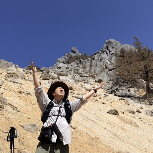
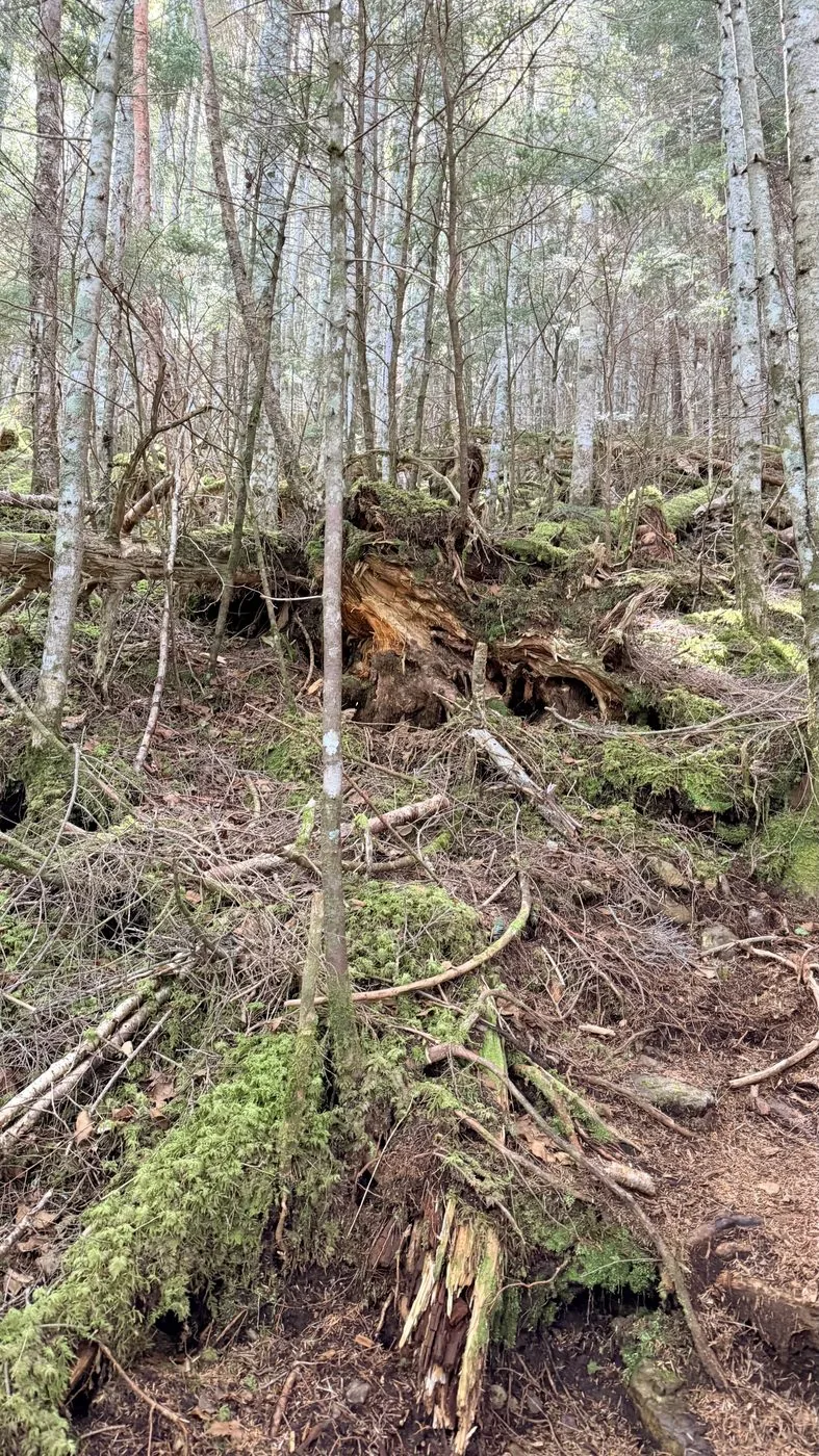
08:33Out of the woods and into the rocky-ridge zone (about 2,100 m elevation)
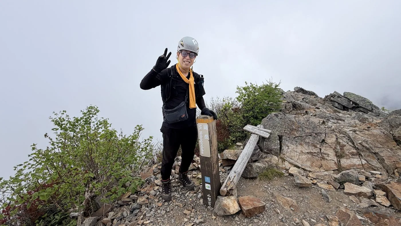
11:28Reach the summit — Nokogiridake First High Point (elevation 2,685 m)
15:34Descending the long forest road (16 km point)
17:08Descend to the Kamanashigawa gate (round trip about 12h47m)
History & culture
History & culture
Nokogiridake is a mountain of 2,685 m (First High Point) at the northern end of the Akaishi Mountains (Southern Alps), running northwest of Kaikomagatake. As its name suggests, jagged rock ridges rise like the teeth of a saw, and it is counted among Japan’s 200 Famous Mountains and the 100 Famous Mountains of Yamanashi.
The triangulation point is set on a peak to the north (2,606.8 m), but the highest spot is the First High Point (2,685 m). Between it and the Second High Point (2,675 m) come a run of notorious difficulties: the notches known as the Great Gap and the Little Gap, and the “Shikamado,” a window opened in the rock that you pass through. Handling of unstable rock faces and precise route-finding are required, and one seldom sees ordinary hikers here.
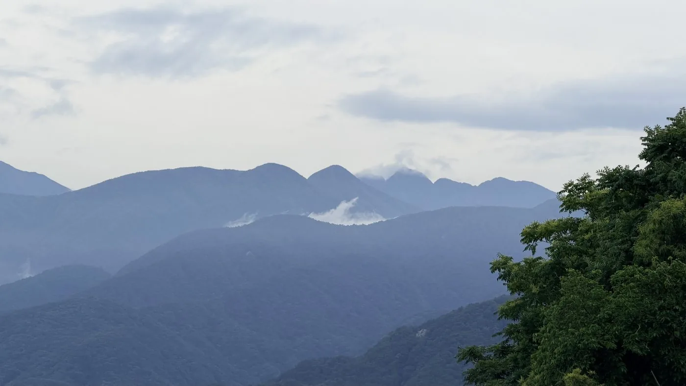
It is a singular presence even within the Southern Alps — a quiet, forbidding mountain of rock. The saw-toothed ridge carved beside Kaikomagatake, gazed up at from Hokuto at its foot, leaves a strong impression on all who see it.
Photos
Photos from the trail
All photos were taken by the editor on the actual hike. Tap to enlarge.
No. Nokogiridake is one of the toughest routes in the Southern Alps and is clearly a mountain for advanced hikers. Passage of unstable rocky ridge and route-finding come one after another, and a helmet and rock-face experience are prerequisites. If you are a beginner or intermediate, first build up experience of rock faces and long-duration activity on other mountains.
How long is the Kamanashigawa route?
By the editor's own measurement it was an ultra-long route of about 27 km round trip and about 12 hours 47 minutes of activity. The first half is an endless forest-road walk along the headwaters of the Kamanashi River, and the rocky-ridge difficulties are concentrated in the second half. A day trip is for strong hikers only, and an early start and meticulous planning are essential.
What is the Shikamado?
It is a hole like a window opened in the rock, in the rocky-ridge zone of Nokogiridake. Using a chain, you pass through this hole to the other side. It is one of Nokogiridake’s emblematic difficulties, alongside the Great Gap and the Little Gap, and passing it demands care.
Where is the highest point of Nokogiridake?
The First High Point (elevation 2,685 m) is the highest spot. To the north is the peak with the triangulation point (2,606.8 m), and to the south the Second High Point (2,675 m); between them run difficulties such as the Great Gap, the Little Gap and the Shikamado.