Mt. Mizugaki Hiking Guide | Granite pinnacles from Mizugaki Sanso — course times and late-winter (residual snow) notes
Difficulty & route
Intermediate
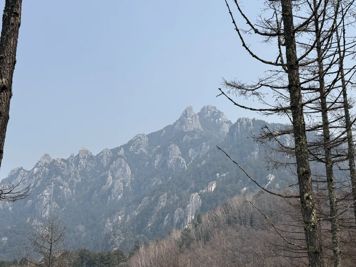
One of Japan's 100 Famous Mountains, formed of enormous granite pinnacles at the western edge of the Okuchichibu range. From Mizugaki Sanso via Fujimidaira, you look up at Oyasuri-iwa on the way to the rocky summit ridge.
瑞牆山2,230m
Elevation
2,230m
Course time
Out and back from Mizugaki Sanso — about 4 hours 47 minutes (editor's measured time in the residual-snow season, incl. breaks)
Best season
Fresh greenery to autumn colours (May–November). In the residual-snow season (March–April) the trail freezes, so chain spikes or light crampons are needed.
Distance
5.5km
Total ascent
898m
Parking
Free prefectural Mizugaki car park (beside Mizugaki Sanso). It is a popular mountain, so on weekends it can fill up early in the morning.
0:00Elapsed0.0km1,522m
Elevation profileEditor's measured GPX · surface distance5.58kmRoute overviewEditor's measured GPS route on the GSI base map ·5.58km
Source: GSI tiles (Geospatial Information Authority of Japan) / The route is the editor's measured YAMAP activity track (GPX).Some sections have GPS-log gaps, shown as dashed (estimated straight) lines.Scroll-zoom is enabled after you click the map.
Location & access
LocationSutama-cho, Hokuto City, Yamanashi (western edge of the Okuchichibu range)
TrailheadPrefectural free Mizugaki car park (Mizugaki Sanso)/Hishi, Sutama-cho, Hokuto City, Yamanashi35.8806, 138.5799Open in Google Maps →
AccessBy car: from Sutama IC on the Chuo Expressway via the Hontani-Kamase forest road to the prefectural Mizugaki car park (Hokuto City). Public transport is infrequent, so travelling by car is the realistic option.
Coordinates are the trailhead and summit points from the editor's own GPS track.
Watch
Watch this hike on video
Editor's note
Editor's note
編集長
Climbed on:2026-07-02
Mt. Mizugaki is a 2,230 m peak standing at the western edge of the Okuchichibu range, one of Japan's 100 Famous Mountains. With countless rock pinnacles and towers formed by the weathering of granite, it is a distinctive mountain quite unlike Yatsugatake or the Southern Alps. Here I climb this famous peak, which rises in the editor's home town of Hokuto City (Sutama), and set down what I found.
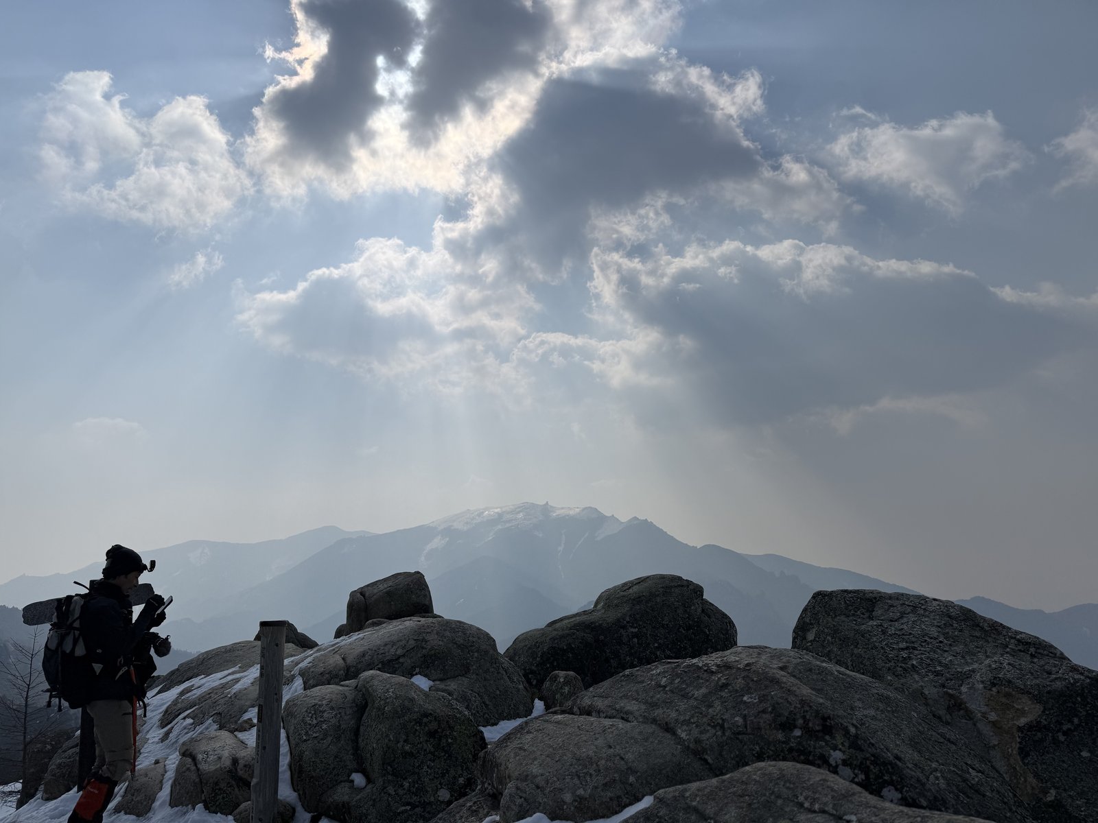
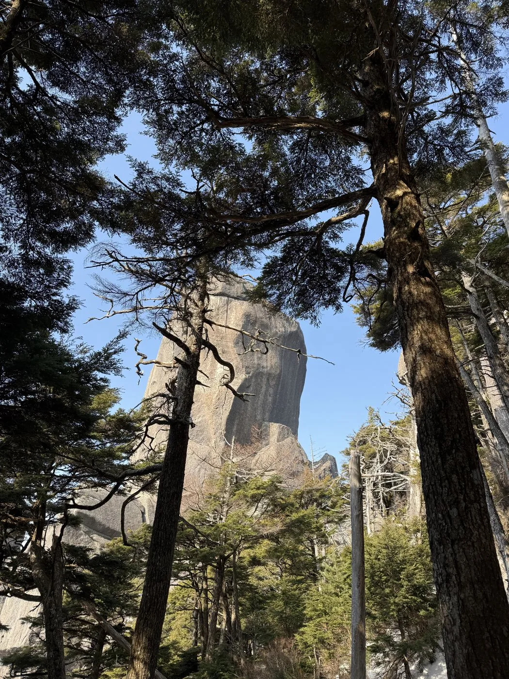
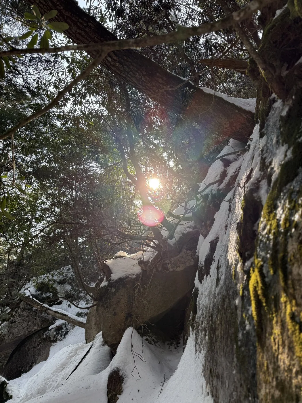
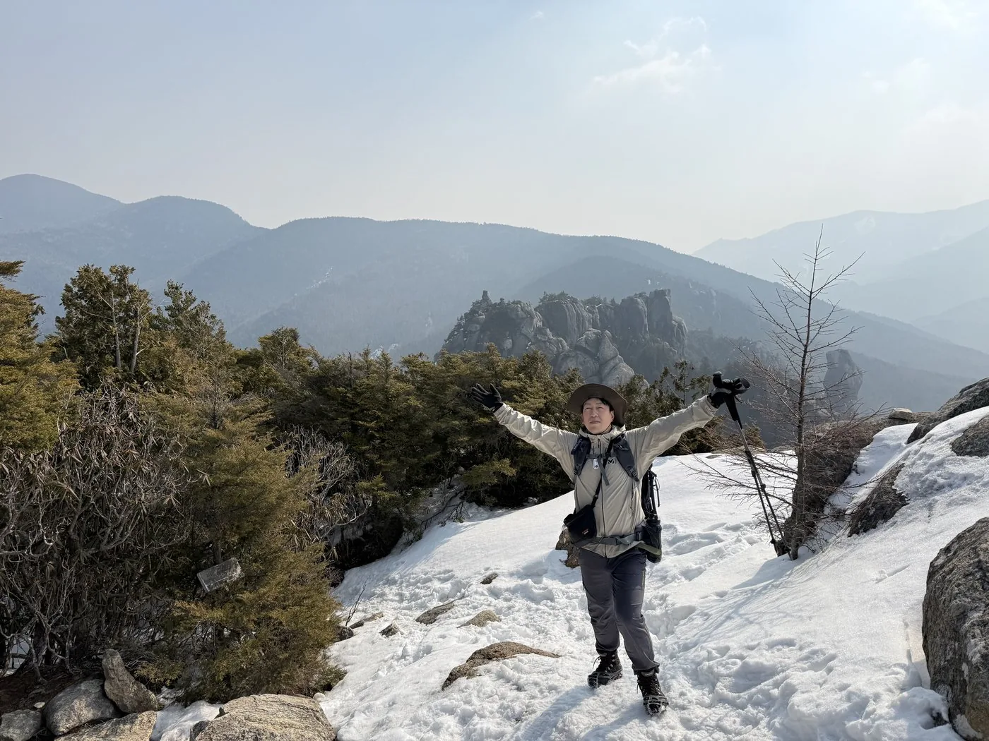
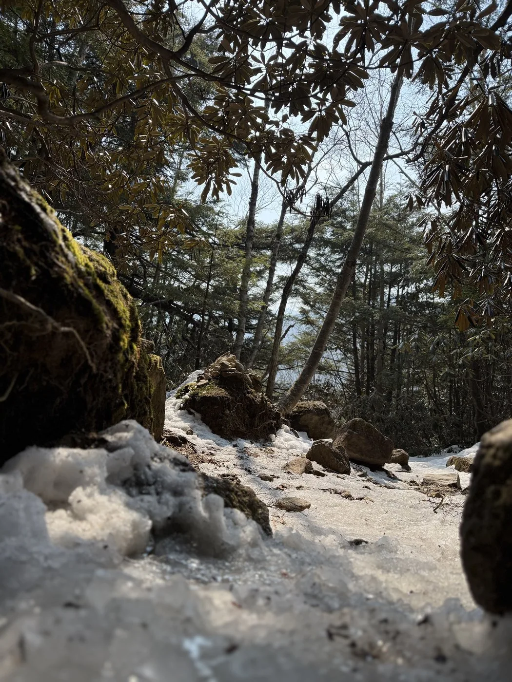
I walked it in the residual-snow season, at the end of March. From the Mizugaki Sanso car park, I passed Fujimidaira, dropped once into the valley of the Amadori River, and after Momotaro-iwa the steep rocky section just below the summit began. Looking up at Oyasuri-iwa, I followed the chains and ladders to the rocky summit ridge. Chain spikes were indispensable on the residual snow and ice, while from the top the view opened out grandly to Mt. Kimpu, the Southern Alps and Mt. Fuji.
The editor's measured time, including breaks, was about 4 hours 47 minutes (departed 06:10, summit 8:29, back down 10:57). The distance is short — about 2.7 km one way — but the summit area is a continuous run of rock, making it an intermediate mountain. Combining it with Mt. Kimpu (2,599 m), where the path divides at Fujimidaira, is a way of enjoying the western Okuchichibu that is all its own.
Because the distance is short it tends to be underestimated, but just below the summit are rocky sections with chains and ladders. In the residual-snow season chain spikes were essential. It is a popular mountain, so get to the car park early. Watch for wet and frozen rock, and enjoy it with a plan that leaves plenty of margin.
Routes
Choose your route
Mizugaki Sanso route (via Fujimidaira, out and back)
Out & back
Difficulty
Intermediate
Approx. time
About 4h47m (editor's measured time in the residual-snow season) / standard about 4–5 hours
Day trip
Suited to a day trip
The classic route: starting from the prefectural Mizugaki car park and Mizugaki Sanso, you pass Fujimidaira Hut, drop down to the Amadori River, and push up to the summit from Momotaro-iwa. The distance is fairly short, but just below the summit there is a continuous run of rock, chains and ladders. In the residual-snow season the editor walked, chain spikes were essential.
Traverse or combination with Mt. Kimpu
Traverse / out and back
Difficulty
Intermediate
Approx. time
Day trip to hut stay
Day trip
Both peaks from a Fujimidaira base
The routes to Mt. Mizugaki and Mt. Kimpu split at Fujimidaira Hut. Starting from the same Mizugaki Sanso, many people also combine it with Mt. Kimpu (2,599 m) on a separate day or with a hut stay — a popular base in the western Okuchichibu.
Editor's record
Editor's measured times
The editor's actual timings on this hike (from the video record). Use them as a guide to course times.
06:10Depart the prefectural Mizugaki car park (into the snow-covered forest belt)
06:49Fujimidaira Hut (the junction for Mt. Mizugaki and Mt. Kimpu)
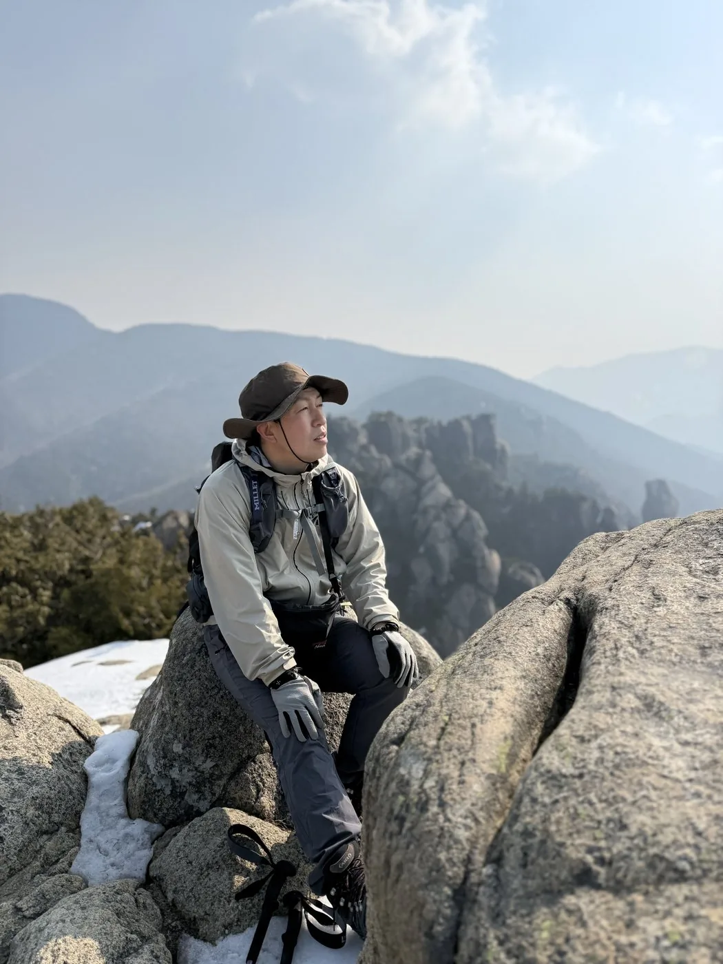
08:29Reach the summit of Mt. Mizugaki (elevation 2,230 m) — a granite summit ridge
10:57Descend to Mizugaki Sanso and the car park (out and back, about 4h47m)
History & culture
History & culture
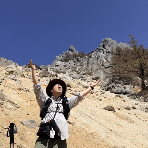
Mt. Mizugaki is a 2,230 m peak standing at the western edge of the Okuchichibu massif, and one of Japan's 100 Famous Mountains. Located in Hokuto City, Yamanashi, it is known for its distinctive form, with countless rock pinnacles and towers formed by the weathering of granite.
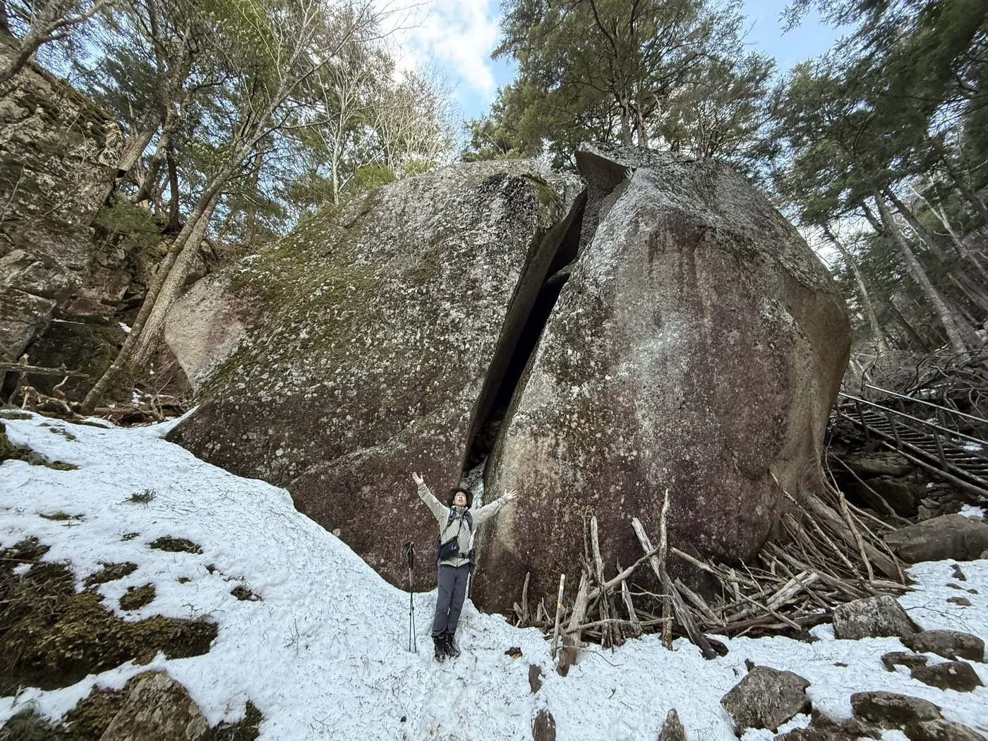
Oyasuri-iwa, Momotaro-iwa, Fudo Falls and other giant and oddly shaped rocks are the highlights. Starting from Mizugaki Sanso and Fujimidaira at its foot, it is often climbed together with Mt. Kimpu (2,599 m), the principal peak of the same Okuchichibu range. It is a forested mountain that does not reach the tree line, but the summit area is a continuous run of rock, and from the top the view opens out to Mt. Kimpu, the Southern Alps and Mt. Fuji.
Access from the Hokuto (Sutama) side is good, and it is one of the famous peaks of the editor's home area of Hokuto. It has also long been enjoyed as a climbing crag.
Photos
Photos from the trail
All photos were taken by the editor on the actual hike. Tap to enlarge.
The distance is short — about 2.7 km one way — and it suits a day trip, but just below the summit rock, chains and ladders continue, making it an intermediate mountain. If you are used to basic rocky-section travel you can climb it, but don't let your guard down even in snow-free conditions. In the residual-snow season the editor walked, chain spikes were needed.
Can you climb it in the residual-snow season or winter?
You can, but even in March–April the trail freezes and chain spikes or light crampons are needed. The editor also used chain spikes in late March. Watch for icing and slips on the rocky section just below the summit, and decide according to your gear and experience.
Where is the car park?
The free prefectural Mizugaki car park (beside Mizugaki Sanso) is the starting point. You reach it from Sutama IC on the Chuo Expressway via the Hontani-Kamase forest road. As one of Japan's 100 Famous Mountains it is very popular, and on weekends it can fill up early in the morning.
Can you climb it together with Mt. Kimpu?
The routes to Mt. Mizugaki and Mt. Kimpu split at Fujimidaira Hut. Starting from the same Mizugaki Sanso, many people combine it with Mt. Kimpu (2,599 m) on a separate day or with a hut stay — a popular base in the western Okuchichibu.