Mt. Gongendake Hiking Guide | A loop from Kannondaira over Amigasayama and the Giboshi rock ridge in the southern Yatsugatake
Difficulty & route
Intermediate
Mt. Gongendake, 2,715 m, in the southern part of the Yatsugatake range. From Kannondaira you climb Amigasayama, then from Seinen-goya cross the rock ridge of West and East Giboshi to the summit — a rocky peak crowned by an iron sword. The descent loops around Mitsugashira. Its appeal is the chained rock ridge and the grand view of Akadake and Amidadake close at hand.
Gongendake2,715m
Mitsugashira2,580m
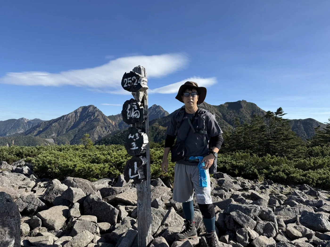
Amigasayama2,524m
Elevation
2,715m
Course time
A loop from Kannondaira over Amigasayama, Gongendake and Mitsugashira — about 9 hours 43 minutes (editor's measured time, incl. breaks / October 2024). Standard about 8 hours.
Best season
Early summer to autumn (autumn colours). The Giboshi rock ridge has chained sections. In the residual-snow and midwinter seasons it becomes a serious snow climb for experienced mountaineers.
Distance
11km
Total ascent
1,445m
Parking
The car park at Kannondaira (it fills up easily in summer and the autumn-colour season). You can also start from Tennyoyama or Fujimi Kogen.
0:00Elapsed0.0km1,574m
Elevation profileEditor's measured GPX · surface distance11.07kmRoute overviewEditor's measured GPS route on the GSI base map ·11.07km
LocationHokuto City, Yamanashi / Fujimimachi and Haramura, Nagano (southern Yatsugatake range)
TrailheadKannondaira trailhead/Kobuchizawa-cho, Hokuto City, Yamanashi (Kannondaira)35.9153, 138.3430Open in Google Maps →
AccessBy car: from Kobuchizawa IC on the Chuo Expressway to Kannondaira. There are also routes from Fujimi Kogen or Tennyoyama. From Kobuchizawa Station, take a taxi or similar.
Coordinates are the trailhead and summit points from the editor's own GPS track.
Watch
Watch this hike on video
Editor's note
Editor's note
編集長
Climbed on:2026-07-02
Gongendake is a 2,715 m mountain rising in the southern part of the Yatsugatake range. On the boundary of the editor's home town of Hokuto and Nagano, just before Akadake, it is a high peak of the southern Yatsugatake that shows a sharp rocky peak beyond Amigasayama. Even among the same Yatsugatake peaks as Akadake, Amidadake and Amigasayama, the Hokuto editor actually climbs and reports on this summit, memorable for the Giboshi rock ridge and its iron-sword crown.
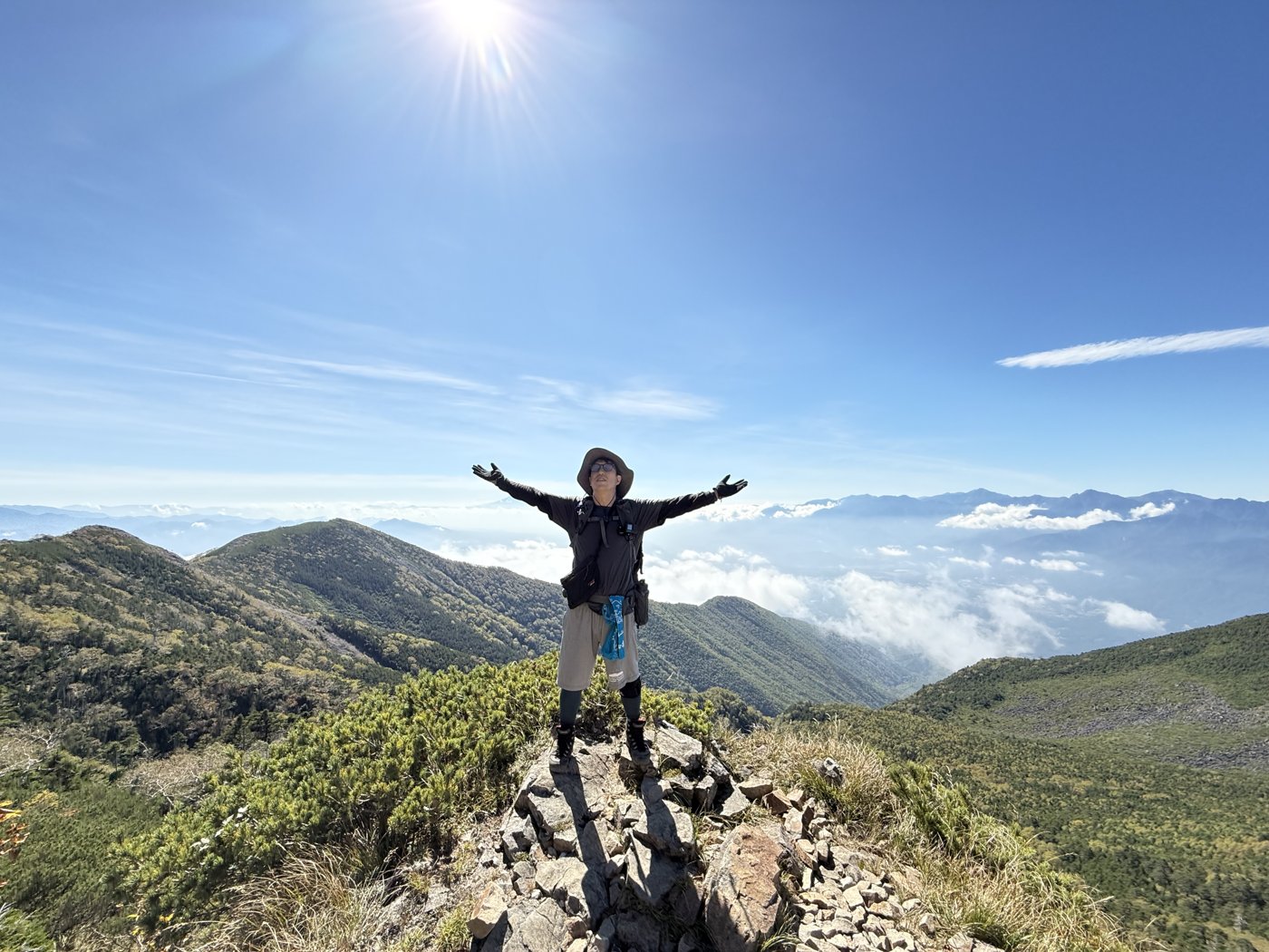
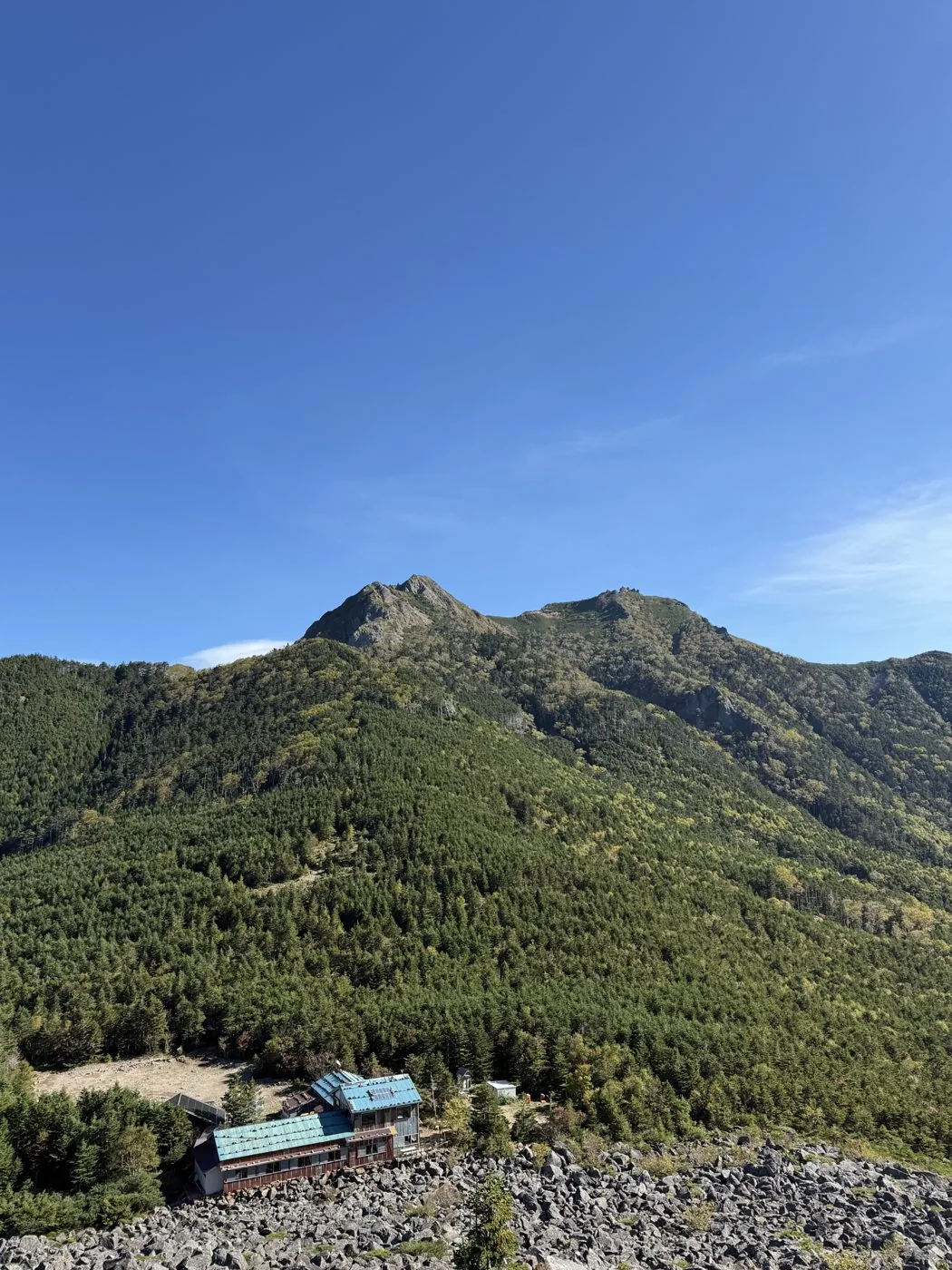
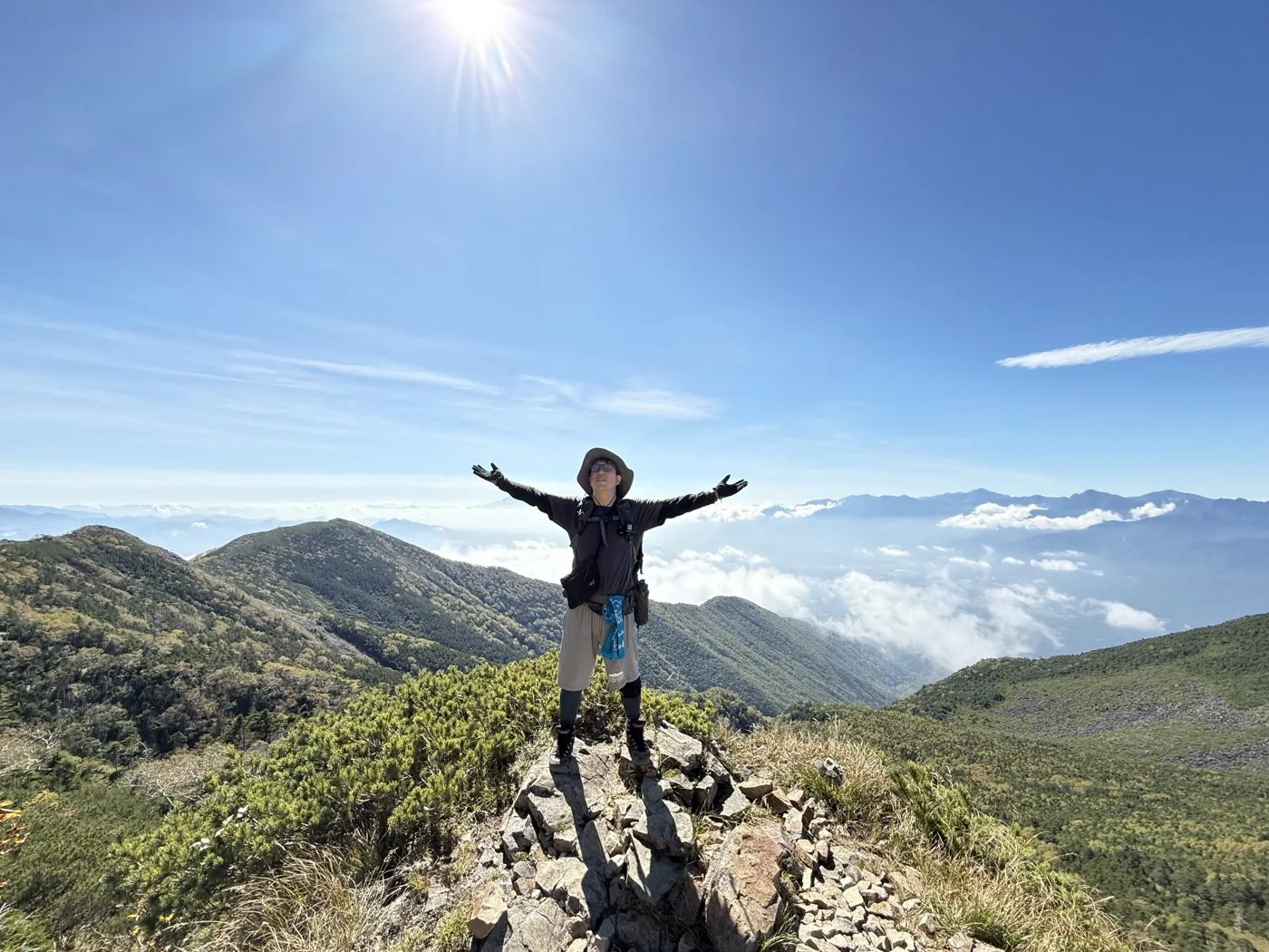
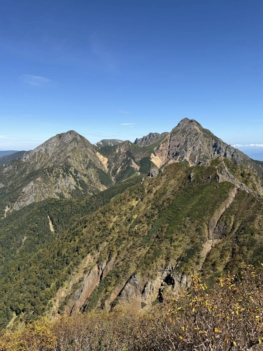
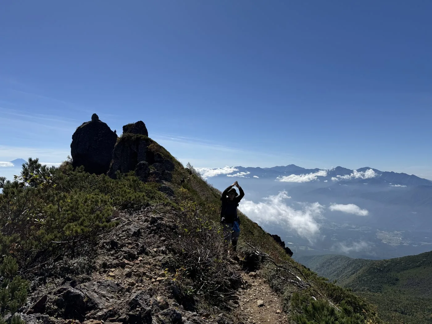
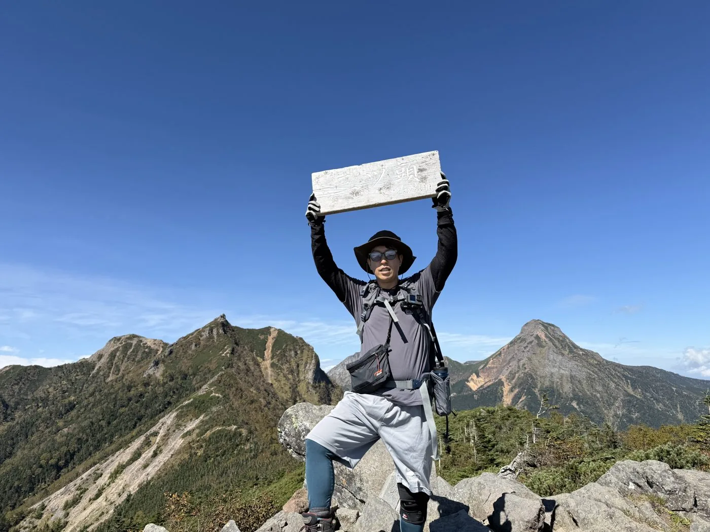
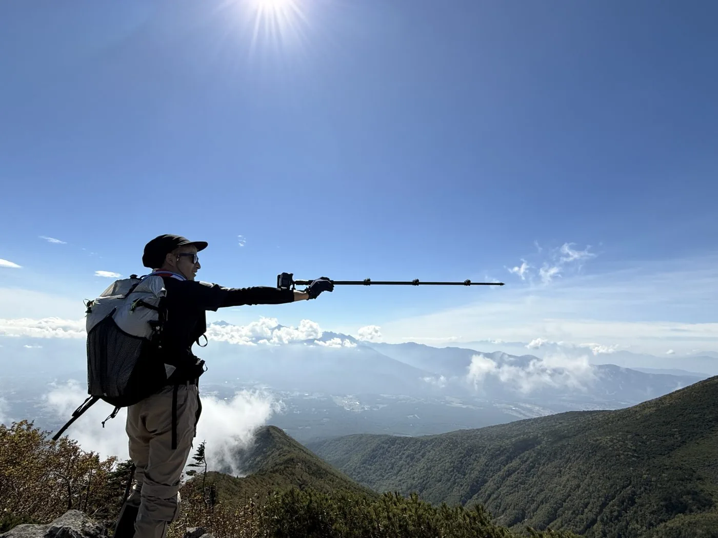
I walked it in October. Leaving Kannondaira early in the morning, I first headed for Amigasayama. I descended to Seinen-goya, crossed the rock ridge of West and East Giboshi, worked through the chained sections and stood on the summit of Gongendake. From the summit ridge the rock ridges of Akadake and Amidadake felt close enough to touch, and a sea of cloud spread out below. On the way down I looped around Mitsugashira, and looking back, Gongendake and the sharp rocky peaks of Giboshi soared into the autumn sky.
The editor's measured time was about 9 hours 43 minutes including breaks (departed 05:38, reached the summit at 10:49, descended at 15:21), a distance of about 11.0 km and about 1,445 m of ascent. Packed with the Giboshi chained sections, the exposed rock ridge and the grand view of Akadake close at hand, it was a rewarding loop that feels of the southern Yatsugatake.
From West and East Giboshi to just below Gongendake, rocky ground with chains and ladders continues. Move carefully with three-point contact, and watch for falling rocks. It is a long loop with a large elevation change, so make an early start and allow time to spare. In the residual-snow and midwinter seasons it is a snow climb for experienced mountaineers. The traverse along the main ridge linking Gongendake to Akadake is also an appeal unique to Yatsugatake.
Routes
Choose your route
The loop from Kannondaira over Amigasayama, Gongendake and Mitsugashira (the editor’s route)
Loop
Difficulty
Intermediate
Approx. time
About 9h43m (editor's measured time) / standard about 8 hours
Day trip
Day trip · for strong walkers (huts at Seinen-goya / Gongen-goya also possible)
Starting from Kannondaira, you first climb Amigasayama, descend to Seinen-goya, cross the rock ridge of West and East Giboshi, work through the chained sections and reach the summit of Gongendake. On the way down you loop around Mitsugashira and return to Kannondaira. From Giboshi to just below Gongendake is an exposed rocky belt with chains and ladders, calling for three-point contact and care against falling rocks. It is a rewarding route where you can enjoy the grand view of Akadake and Amidadake close at hand along with the linked ridge of Amigasayama and Mitsugashira all at once. The editor walked this loop too.
Out and back from Tennyoyama / Mitsugashira, or a traverse to Akadake
Traverse
Difficulty
Intermediate
Approx. time
From Tennyoyama to Gongendake via Mitsugashira / to Akadake via the Kiretto
Day trip
Day trip to hut stay
A route from Tennyoyama (Utsukushimori) via Mae-Mitsugashira and Mitsugashira to Gongendake is also walked. North of Gongendake, the traverse along the main Yatsugatake ridge continues over Asahidake and the Kiretto to Akadake. Both are rock ridges with chained sections, and you can use mountain huts such as Gongen-goya and Akadake Tenboso as bases.
Editor's record
Editor's measured times
The editor's actual timings on this hike (from the video record). Use them as a guide to course times.
05:38Depart the Kannondaira trailhead
08:13Amigasayama (elevation 2,524 m)
08:57Seinen-goya (the saddle with the red lantern of the "far-off tavern")
09:48West Giboshi (into the chained rock ridge)
10:24East Giboshi · Gongen-goya
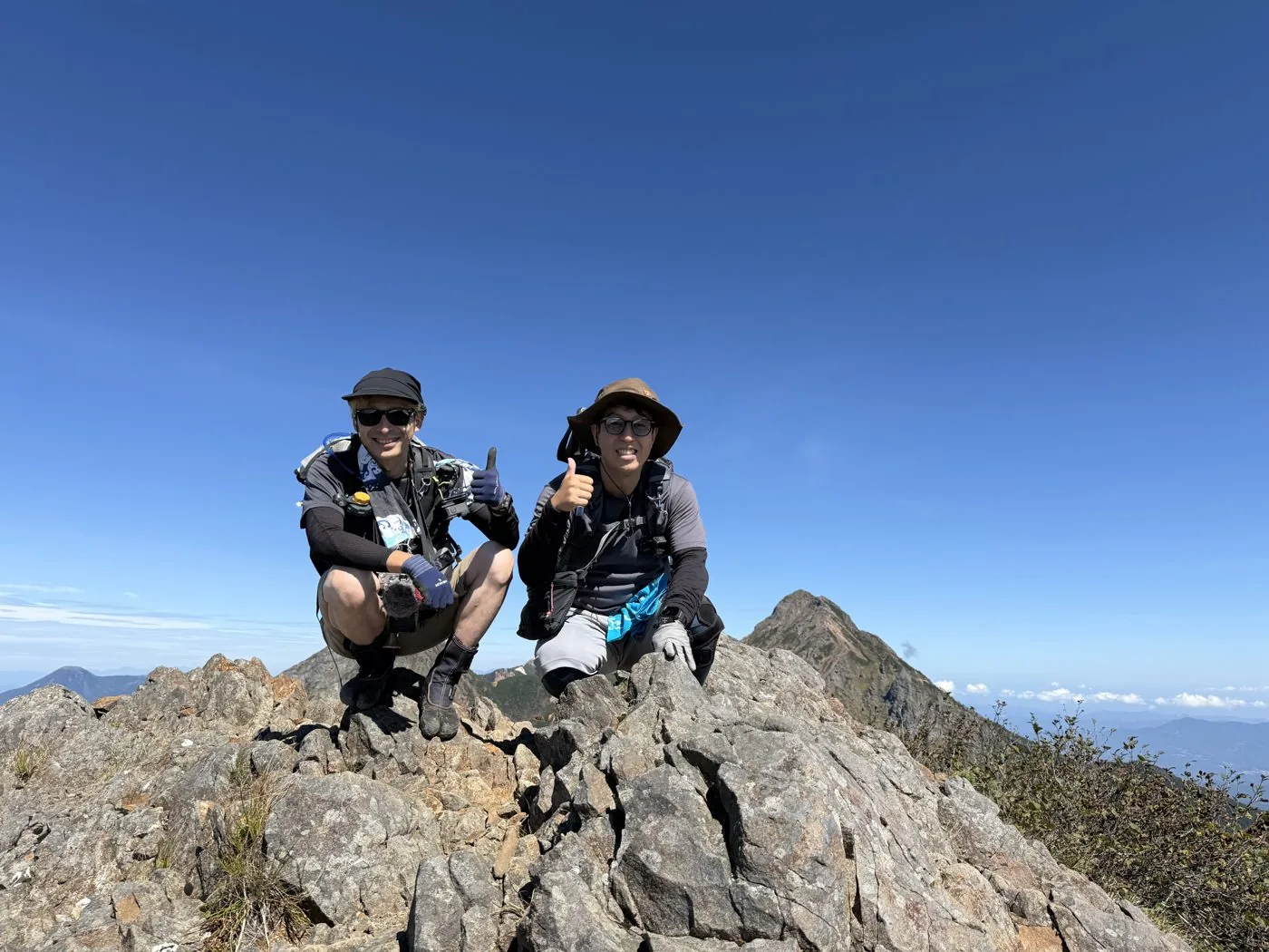
10:49Reach the summit of Gongendake (elevation 2,715 m; the rocky peak where the iron sword stands)
12:25Mitsugashira (elevation 2,580 m; a fine viewpoint for Akadake)
15:21Descend to Kannondaira (loop, about 9h43m)
History & culture
History & culture
Mt. Gongendake (Gongendake, 2,715 m) rises in the southern part of the Yatsugatake range. Standing on the boundary of Hokuto City in Yamanashi and Fujimimachi and Haramura in Nagano, it is one of the high peaks that make up the southern part of the Yatsugatake main ridge.
The summit is a steep rocky peak, known for the long iron sword that stands close to its top. To the west the sharp rock ridge of West and East Giboshi runs on, and to the north the main Yatsugatake ridge continues from Asahidake over the Kiretto to Akadake. To the south stretch Amigasayama and Mitsugashira, and Gongen-goya stands just below the summit.
The name is said to derive from "Gongen" of the mountain faith. Kannondaira, Tennyoyama and Fujimi Kogen are the main trailheads, and it is loved as a loop taking in Amigasayama and Mitsugashira, and as a starting point for the traverse to Akadake. From the summit, a grand view opens up over the rock ridges of Akadake and Amidadake close at hand, all the way to Mt. Fuji, the Southern Alps and the Northern Alps.
Photos
Photos from the trail
All photos were taken by the editor on the actual hike. Tap to enlarge.
It is an intermediate-and-above mountain, with a rock ridge of chains and ladders continuing from West and East Giboshi to just below Gongendake. It is exposed, and you are expected to be used to passing rocky ground with three-point contact. The editor's loop from Kannondaira is a day trip for strong walkers of about 11 km and around 1,445 m of ascent, requiring a plan with plenty of energy and time to spare. In the residual-snow season and winter it becomes a snow climb for experienced mountaineers.
Which route is the usual one?
The loop taking in Amigasayama, Gongendake and Mitsugashira from Kannondaira, and the route from Tennyoyama (Utsukushimori) via Mitsugashira to Gongendake, are both often walked. The editor climbed Amigasayama from Kannondaira, crossed the Giboshi rock ridge to Gongendake, and looped around Mitsugashira on the way down. There is also a way of climbing that starts from Fujimi Kogen.
What is the iron sword on the summit?
The summit of Gongendake is a steep rocky peak, known for the long iron sword that stands close to its top. Linked to the mountain faith, it is cherished as a symbolic scene of Gongendake. The top of the rocky peak is narrow and exposed, so watch your footing.
Can you link it with Akadake on foot?
North of Gongendake, the traverse along the main Yatsugatake ridge continues via Asahidake, over the Kiretto, to Akadake. It is a rock ridge for experienced mountaineers with a run of chained sections and ladders, and is planned using mountain huts such as Gongen-goya and Akadake Tenboso as bases. This time the editor walked the loop of Amigasayama, Gongendake and Mitsugashira.