Enasan Hiking Guide | Course time on the Misaka Pass route and the southernmost Hyakumeizan of the Central Alps
Difficulty & route
Intermediate
The southernmost Hyakumeizan of the Central Alps, a peak that keeps a legend of the sun goddess Amaterasu. From the Misaka Pass side you follow the prefectural-border ridge to a quiet summit surrounded by conifers.
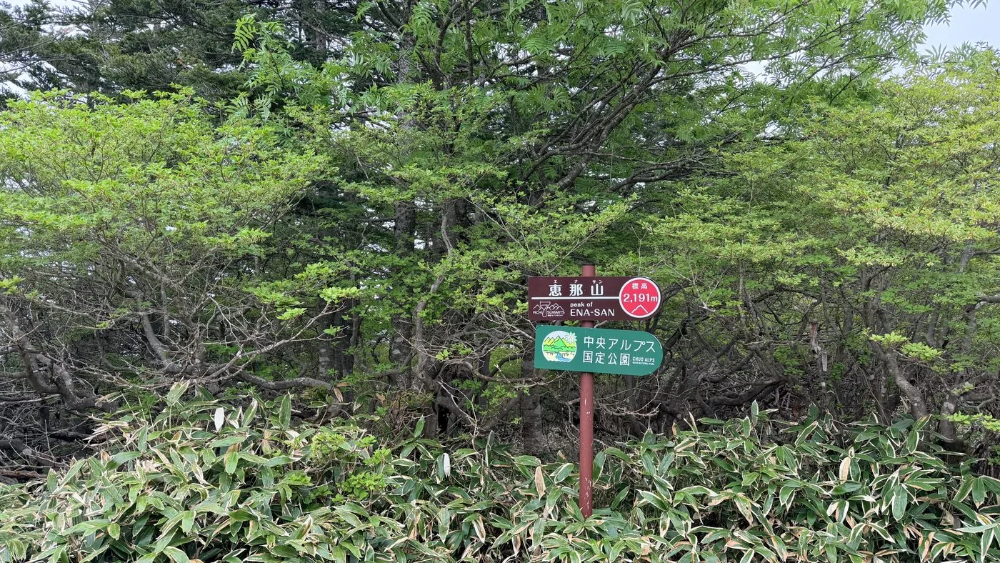
恵那山2,191m
Elevation
2,191m
Course time
Misaka Pass route, round trip about 6 hours 31 minutes (editor's measured time, incl. breaks)
Best season
June to October (fresh greenery to autumn colours). Watch your footing during the lingering-snow season and the rainy season.
Distance
13km
Total ascent
1,225m
Parking
Trailhead parking space on the Misaka Pass route (Sonohara IC side, near the end of the forest road)
0:00Elapsed0.0km1,563m
Elevation profileEditor's measured GPX · surface distance13.06kmRoute overviewEditor's measured GPS route on the GSI base map ·13.06km
Coordinates are the trailhead and summit points from the editor's own GPS track.
Watch
Watch this hike on video
Editor's note
Editor's note
編集長
Climbed on:2026-06-21
Enasan, at 2,191 m, is one of the Hundred Famous Japanese Mountains, lying solidly at the southernmost end of the Central Alps (Kiso Mountains). The Hokuto editor actually walked the Misaka Pass route along the prefectural-border ridge as an out-and-back day trip, and lays out what you need to decide.
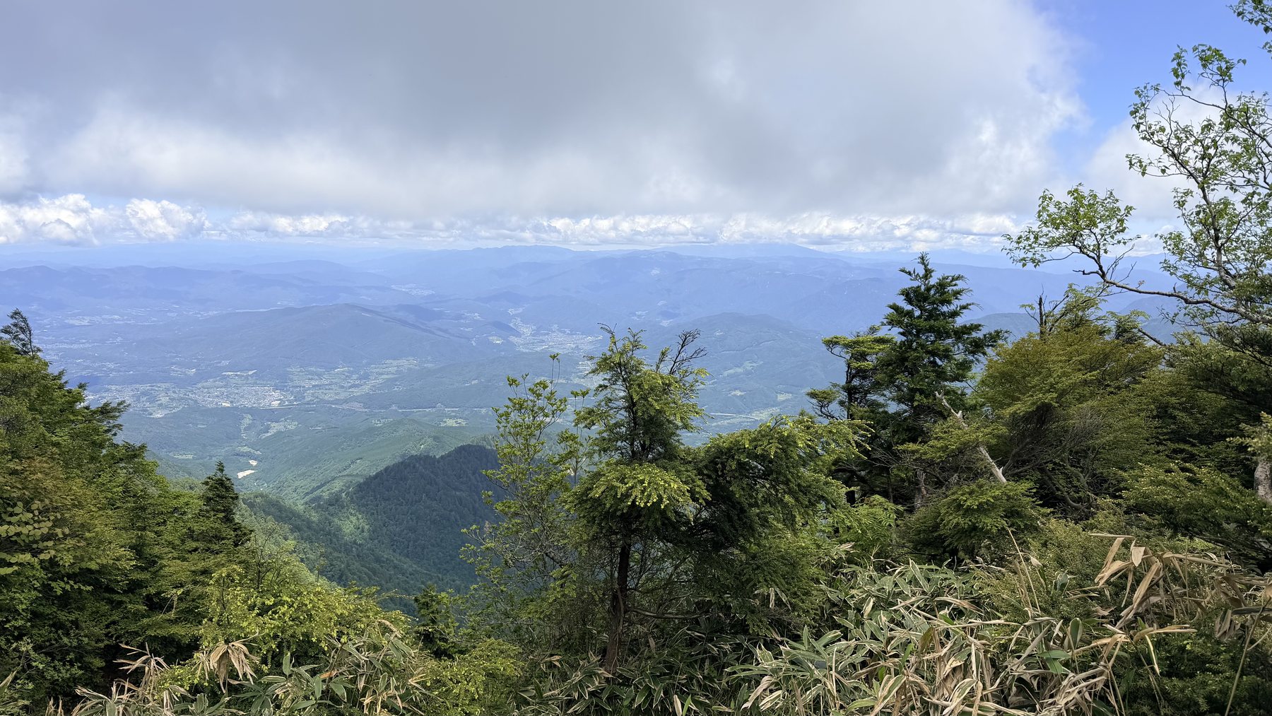
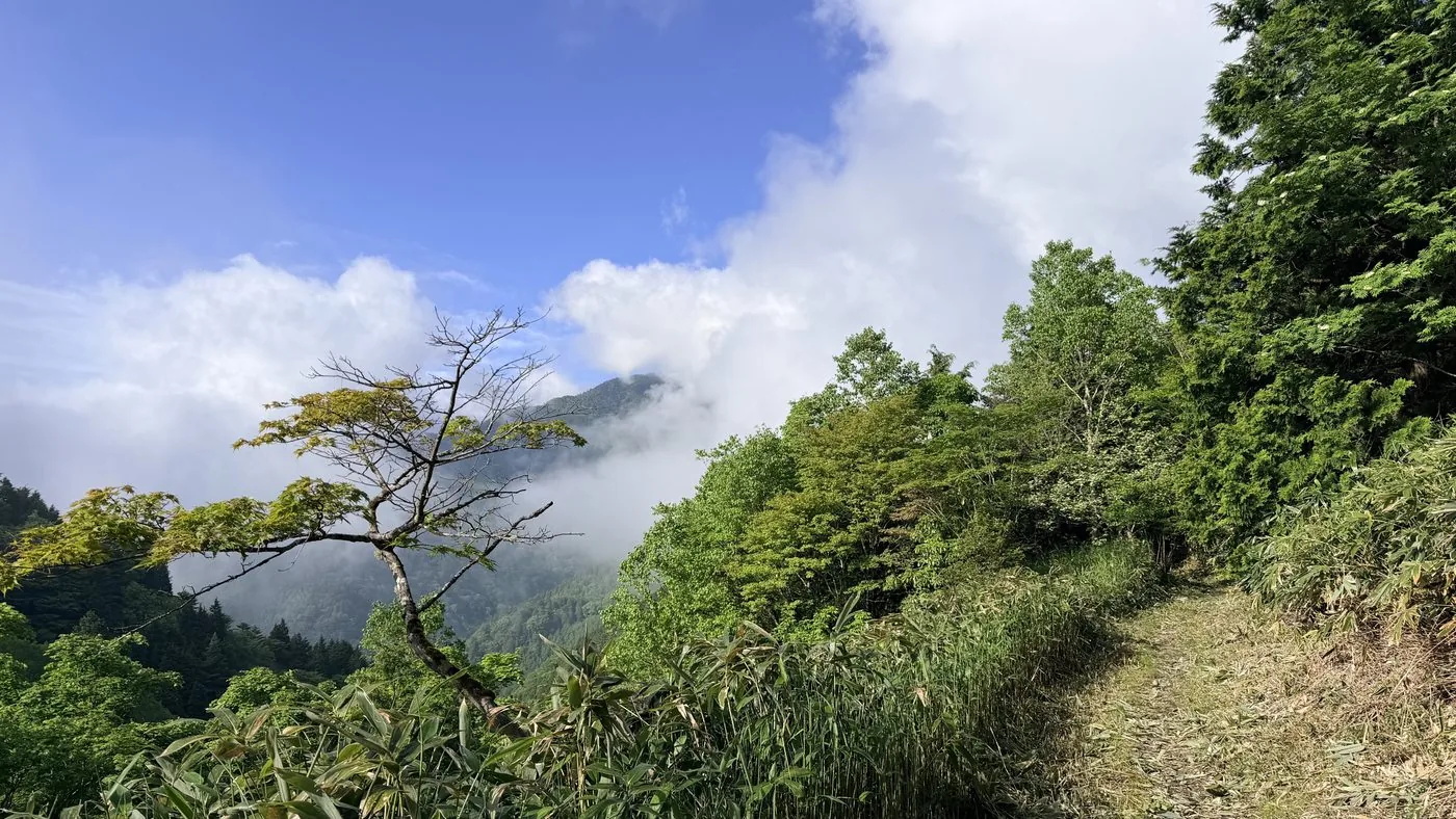
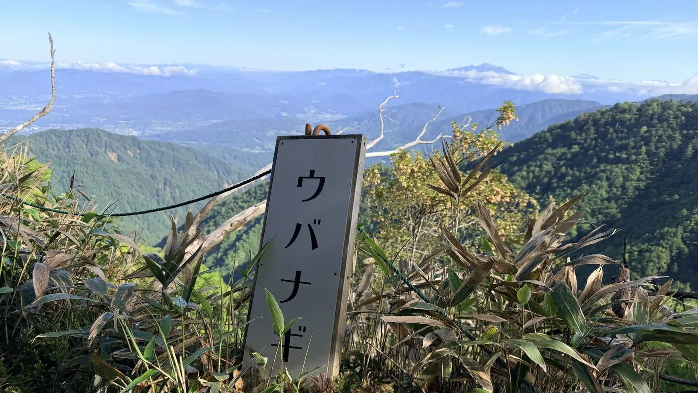
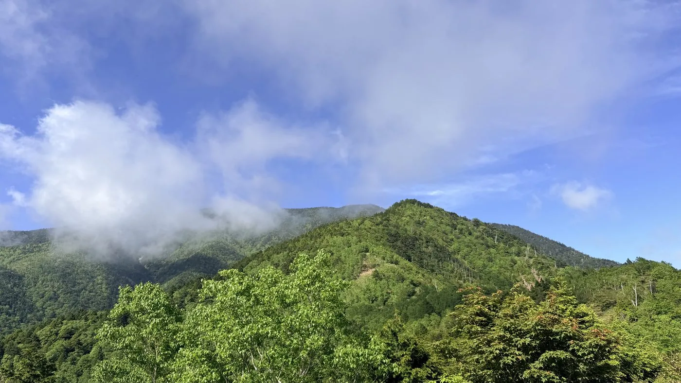
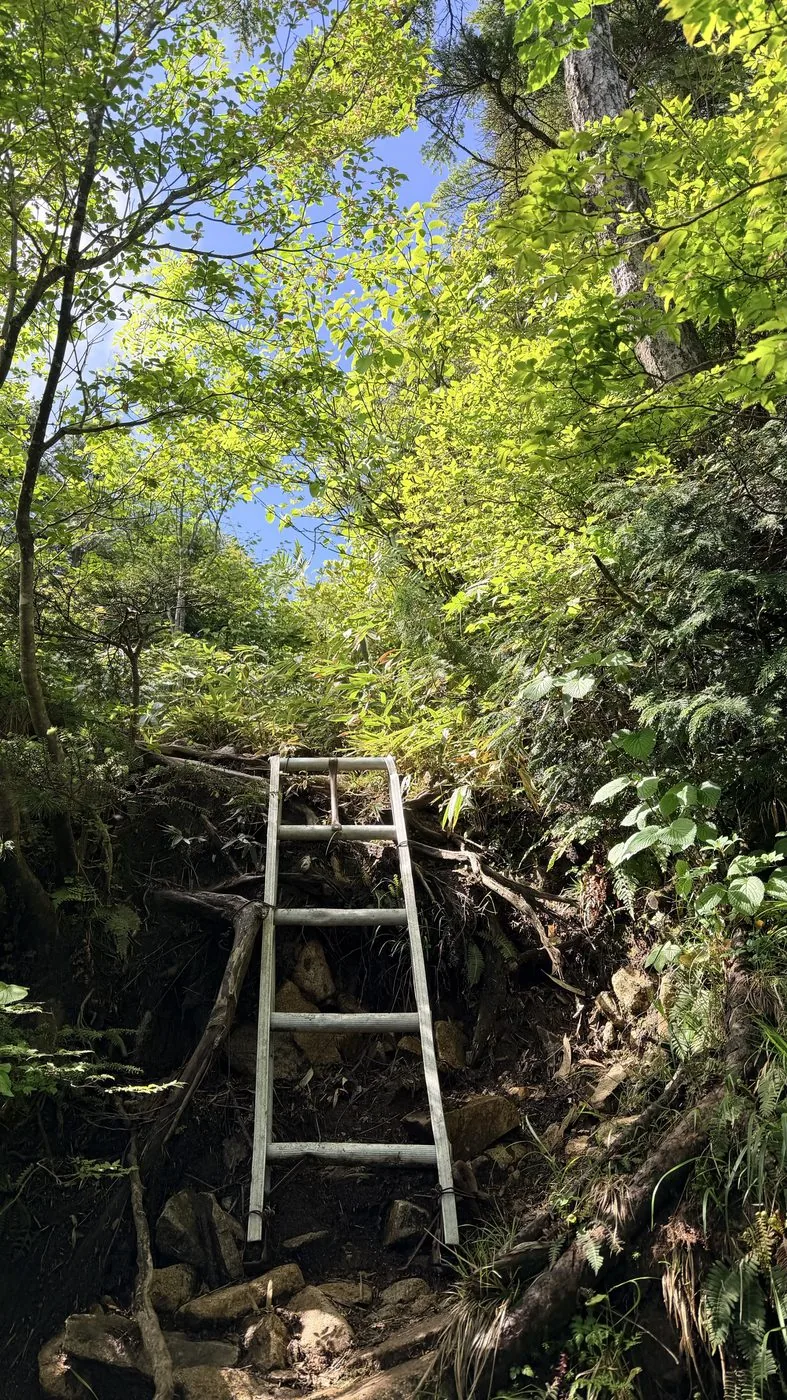
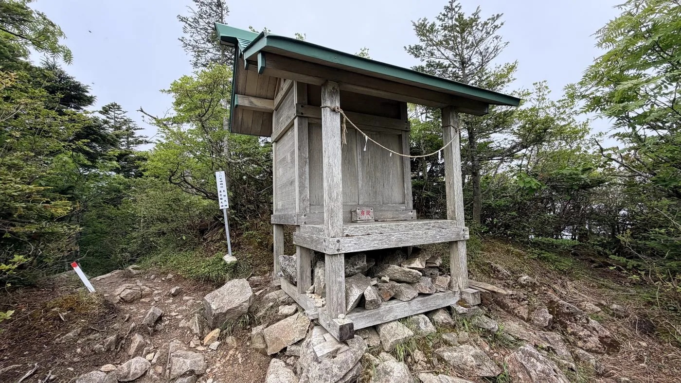
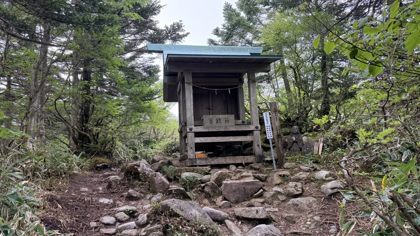
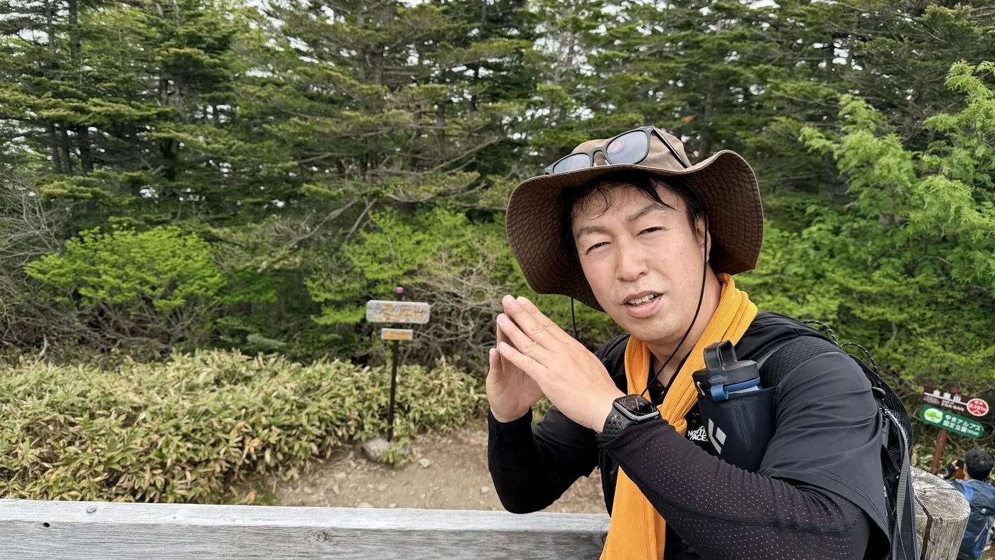
Taking to the ridge from the trailhead on the Misaka Pass side, you gain height while repeating ups and downs. Around the shoulder of Ubanagi a view opens through a gap in the trees, and after the steep climb of wooden steps you reach the summit. The conifer-ringed summit holds the quiet form of the Ena Shrine shrine and an emergency hut, and the view from the summit itself is modest. If you want to enjoy the view, head for the rocks behind the emergency hut. A grand panorama from the Northern Alps to Mt. Fuji is waiting.
The editor's measured time was about 6 hours 31 minutes including breaks (depart 06:17, summit 10:20, descend 12:48). The shortest is the Hirogawara route on the Nagano side, but the editor deliberately chose the Misaka Pass route, blessed with views. Rather than for showiness, this is a mountain for savouring the deep forest and the air of faith at leisure.
Because there are few views, a long walk through forest continues. Allow plenty of time and energy, and keep checking where you are. After reaching the top, do walk out to the viewpoint behind the emergency hut.
Routes
Choose your route
Misaka Pass route (prefectural-border ridge)
Out & back
Difficulty
Intermediate
Approx. time
About 6 hours 31 minutes (editor's measured time)
Day trip
Day trip (the route the editor walked)
A route that heads for Enasan by following the prefectural-border ridge from the Misaka Pass side. It is a longer trail with repeated ups and downs, and through gaps in the trees you also get views of the Southern Alps and beyond. There are few technical difficulties, but both the distance and the elevation gain are considerable, so it demands stamina. The editor, too, walked this route as an out-and-back day trip.
Hirogawara route, Kuroizawa route and Miyamae route
Out & back
Difficulty
Intermediate
Approx. time
Half a day to over a day, depending on the route
Day trip
Hirogawara is the shortest and most popular
On the Nagano side, the Hirogawara route is the shortest of the four and the most walked. On the Gifu side there are the Kuroizawa route and the Miyamae route, an old path of faith. You can choose according to your aim, your fitness and your access to the trailhead.
Editor's record
Editor's measured times
The editor's actual timings on this hike (from the video record). Use them as a guide to course times.
06:17Depart the trailhead on the Misaka Pass side (onto the forested ridge)
07:35The shoulder of Ubanagi. A view opens through a gap in the trees (elevation about 1,600 m)
08:17A steep climb of continuous wooden steps (elevation about 1,650 m)
10:20Reach the summit of Enasan (elevation 2,191 m). A summit surrounded by conifers, with an emergency hut
12:48Descend to the Misaka Pass side (round trip about 6 hours 31 minutes)
History & culture
History & culture
Enasan, at 2,191 m, sits at the southernmost end of the Central Alps (Kiso Mountains), a mountain with a broad, solid form. Counted among the Hundred Famous Japanese Mountains (Hyakumeizan), it straddles Achi Village in Nagano Prefecture and Nakatsugawa City in Gifu Prefecture.
The mountain's name is said to come from a legend that the placenta (ena) of the sun goddess Amaterasu was buried here, and in old times it was also written as “Enasan (胞山).” From its shape, like an overturned boat, it was once also called “Funafuseyama.” Southeast of the summit is enshrined the inner sanctuary of Ena Shrine, and around it are scattered six auxiliary shrines, carrying an ancient faith into the present.
The summit is surrounded by conifer forest such as Yezo spruce and northern Japanese hemlock, so the view from the summit itself is limited. In return, if you stand on the rocks behind the emergency hut, a grand view opens up all the way to the Northern Alps, Mt. Ontake, the Central Alps, the Southern Alps and even Mt. Fuji.
Photos
Photos from the trail
All photos were taken by the editor on the actual hike. Tap to enlarge.
Enasan has four trails; the shortest is the Hirogawara route on the Nagano side, which is sometimes named as an introduction to the Hyakumeizan. The Misaka Pass route the editor walked is a longer trail following the prefectural-border ridge; it has few technical difficulties, but the round trip is 13 km with an elevation gain of over 1,000 m. Think of it as suited to intermediate hikers, and set out with plenty of time and energy to spare.
Is there a view from the summit?
The summit itself is surrounded by conifer forest and the view is limited. However, if you go out to the rocks behind the Enasan summit emergency hut, you can see all the way to the Northern Alps, Mt. Ontake, the Central Alps, the Southern Alps and Mt. Fuji. After reaching the top, do walk out that little bit further.
Which route should I choose?
The shortest and most popular is the Hirogawara route on the Nagano side. The Misaka Pass route the editor walked is a ridge traverse blessed with views. There are also the Kuroizawa route on the Gifu side and the Miyamae route, a path of faith. On any of them the forest road to the trailhead is closed in winter, so check the season too.
What is the origin of the name Enasan?
It is said to come from a legend that the placenta (ena) of the sun goddess Amaterasu was buried here, and in old times it was also written as “Enasan (胞山).” Southeast of the summit is enshrined the inner sanctuary of Ena Shrine, which shows that this has long been a mountain of faith.