Mt. Amigasayama Hiking Guide | A deep-winter loop from Fujimi Kogen over Nishidake at the southern tip of Yatsugatake
Difficulty & route
Intermediate
Mt. Amigasayama, 2,524 m, at the southernmost end of the Yatsugatake range. From Fujimi Kogen you pass over Nishidake to Seinen-goya, then finally break above the tree line to reach the summit shaped like an upturned bamboo hat. The summit is an open, rocky field of scree with wide views: the Gongendake–Akadake main ridge to the north, and Mt. Fuji and the Southern Alps to the south. It is one of the Yamanashi 100 Famous Mountains.
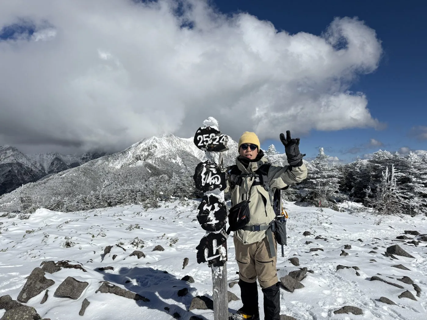
編笠山2,524m
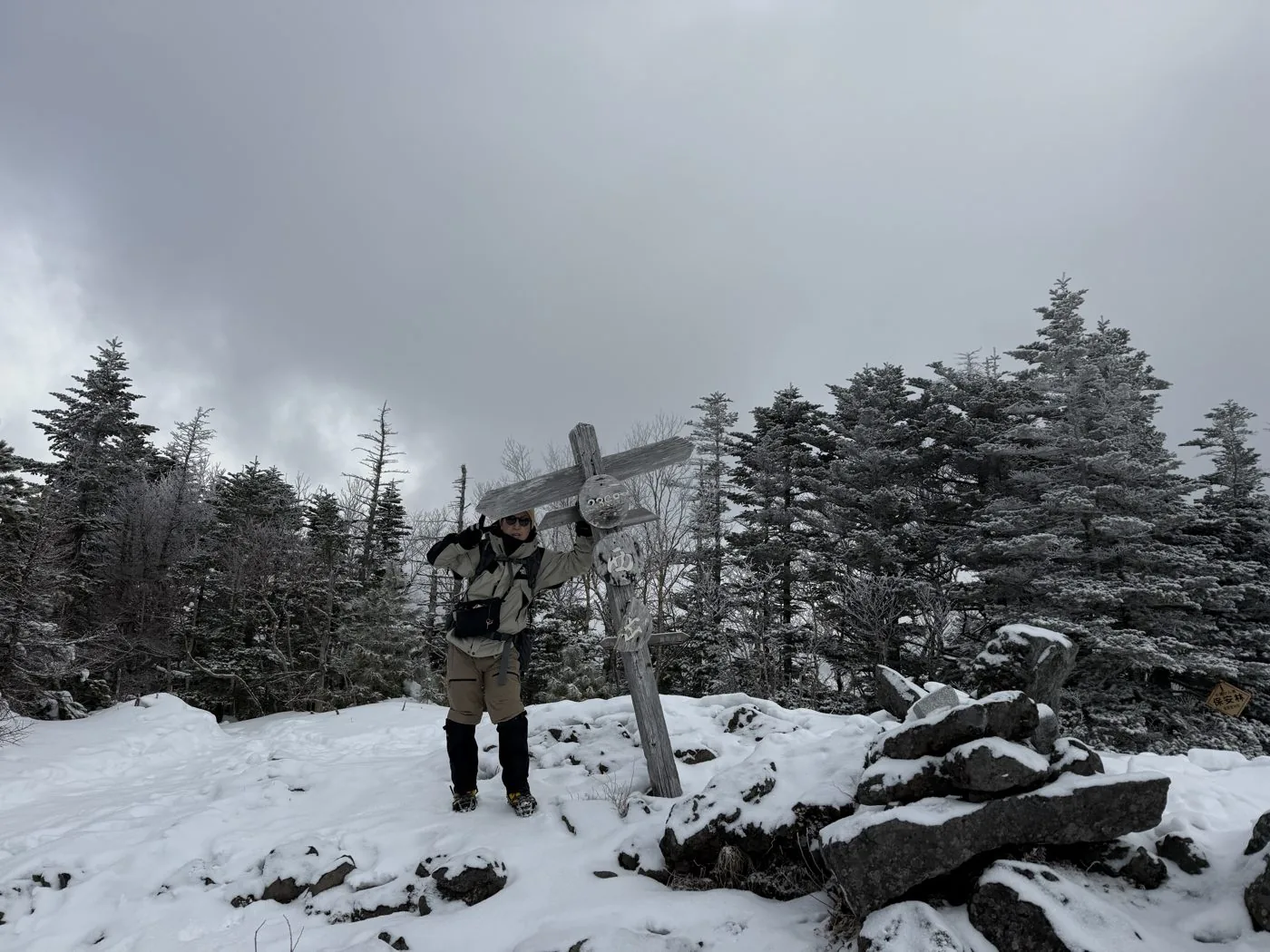
西岳2,398m
Elevation
2,524m
Course time
The loop from Fujimi Kogen over Nishidake and Amigasayama — about 9 hours 8 minutes (editor's measured time, incl. breaks / January 2025). Standard time about 8 hours.
Best season
Early summer to autumn. The summit area is an open, rocky field of scree with fine views. The lingering-snow season and deep winter make it a serious snow mountain for the experienced.
Distance
12.5km
Total ascent
1,393m
Parking
Hikers’ car park at Fujimi Kogen (Fujimi Kogen Resort). A loop starting from the Kannondaira car park is also common.
0:00Elapsed0.0km1,334m
Elevation profileEditor's measured GPX · surface distance12.52kmRoute overviewEditor's measured GPS route on the GSI base map ·12.52km
LocationBorder of Hokuto City, Yamanashi and Fujimi Town, Nagano (Yatsugatake range, southern tip)
TrailheadFujimi Kogen trailhead (hikers’ car park)/Fujimi Town, Suwa District, Nagano (Fujimi Kogen Resort)35.9241, 138.3065Open in Google Maps →
AccessBy car: from Kobuchizawa IC on the Chuo Expressway to Fujimi Kogen Resort. A route from Kannondaira is also popular. From Fujimi Station or Kobuchizawa Station, take a taxi or similar.
Coordinates are the trailhead and summit points from the editor's own GPS track.
Watch
Watch this hike on video
Editor's note
Editor's note
編集長
Climbed on:2026-10-05
Mt. Amigasayama is a mountain of 2,524 m rising at the southernmost end of the Yatsugatake range. On the border of the editor’s home ground of Hokuto City and Fujimi Town in Nagano, with the gentle shape of an upturned bamboo hat, it is the southern gateway to Yatsugatake that you can look straight up at from the villages of Hokuto. Among the same Yatsugatake as Akadake and Gongendake, the Hokuto editor walks this summit — a viewpoint peak that stands almost like an independent mountain — in deep winter to introduce it.
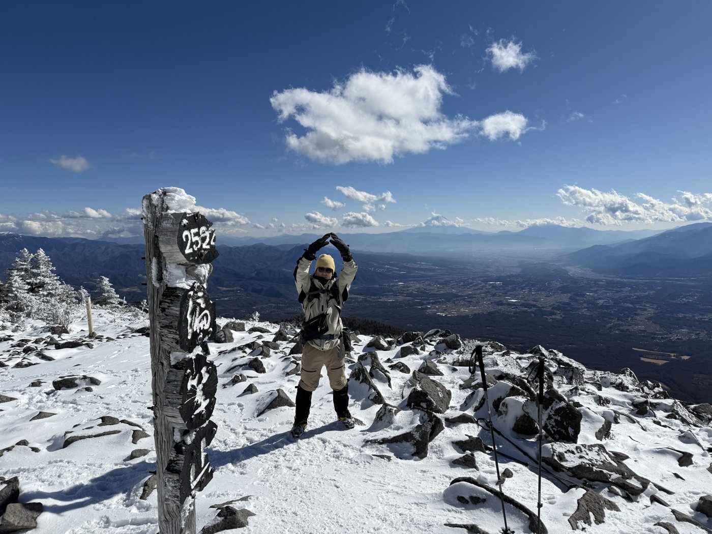
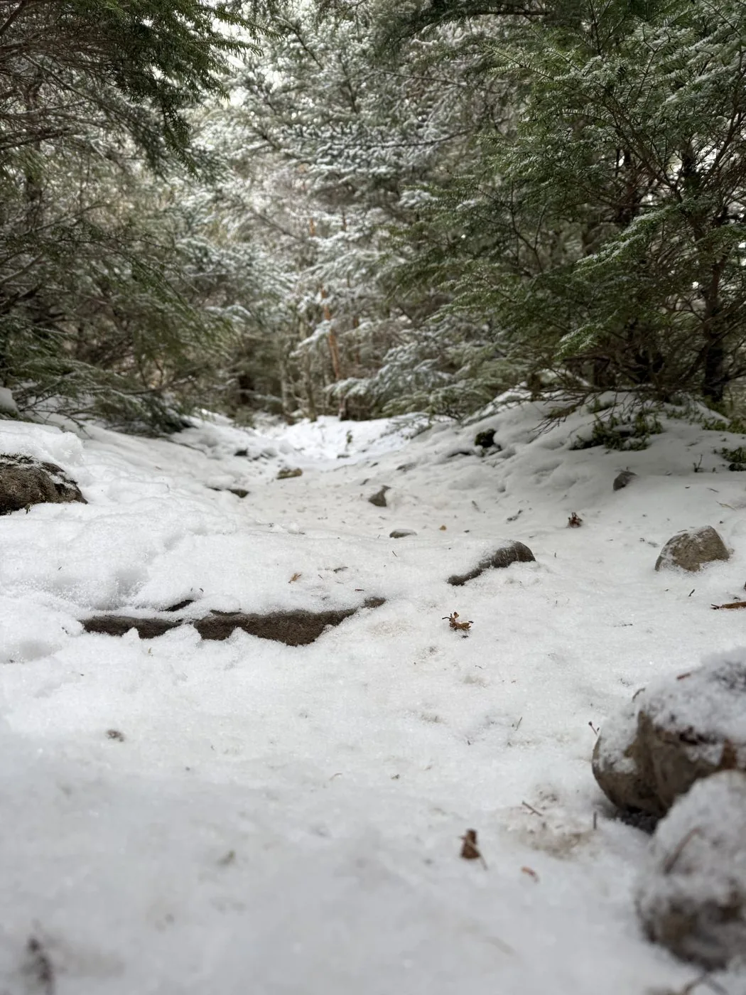
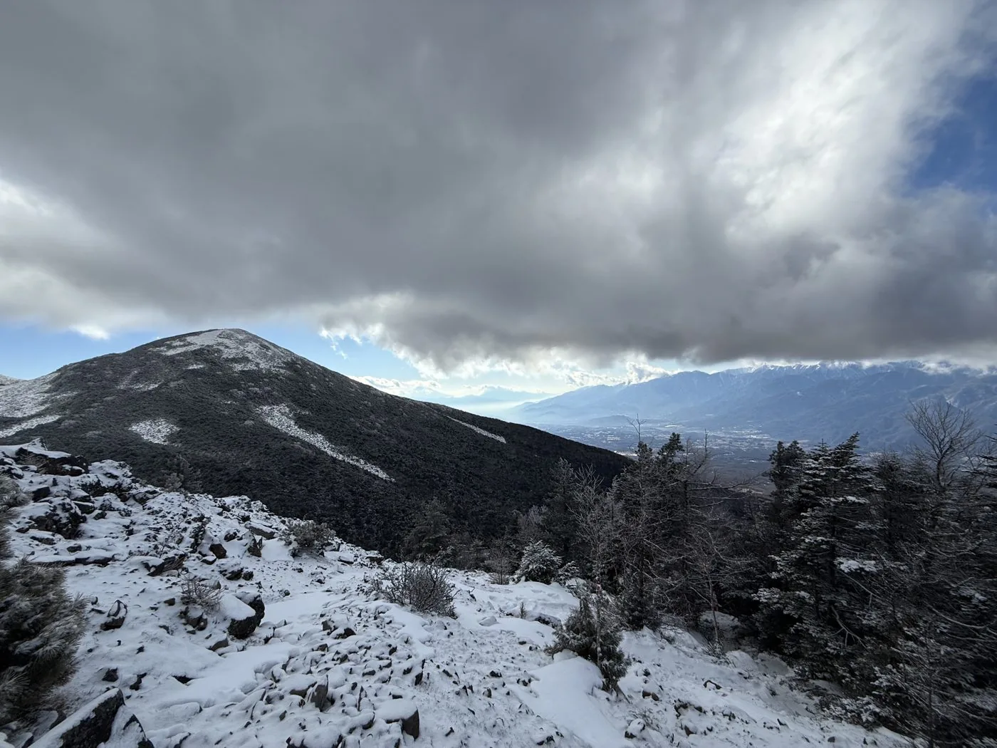
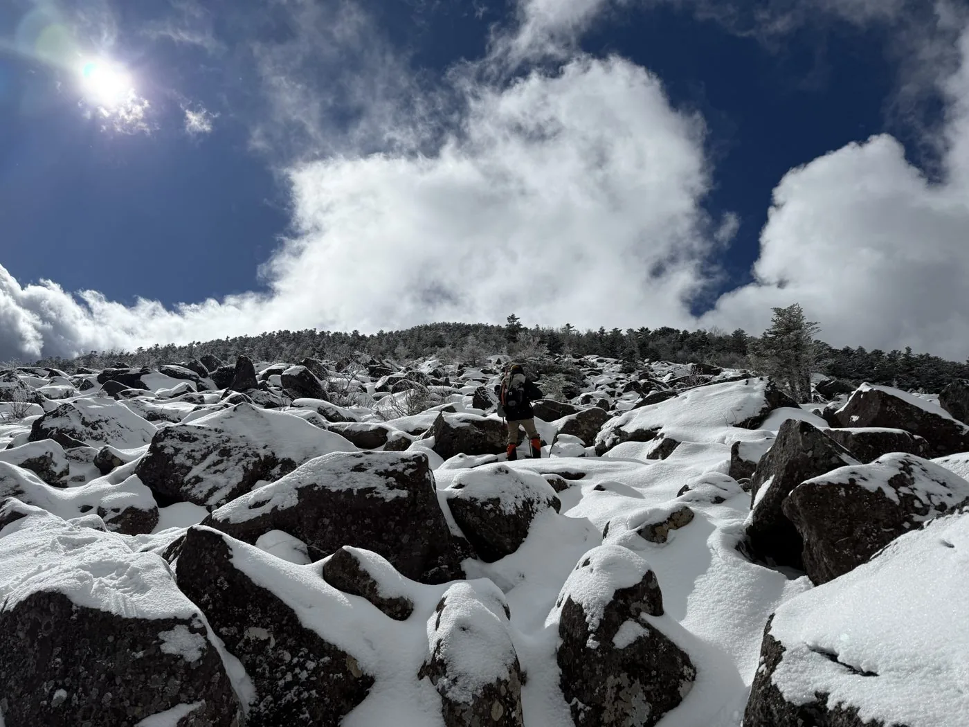
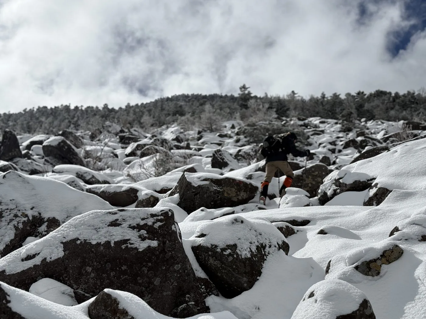
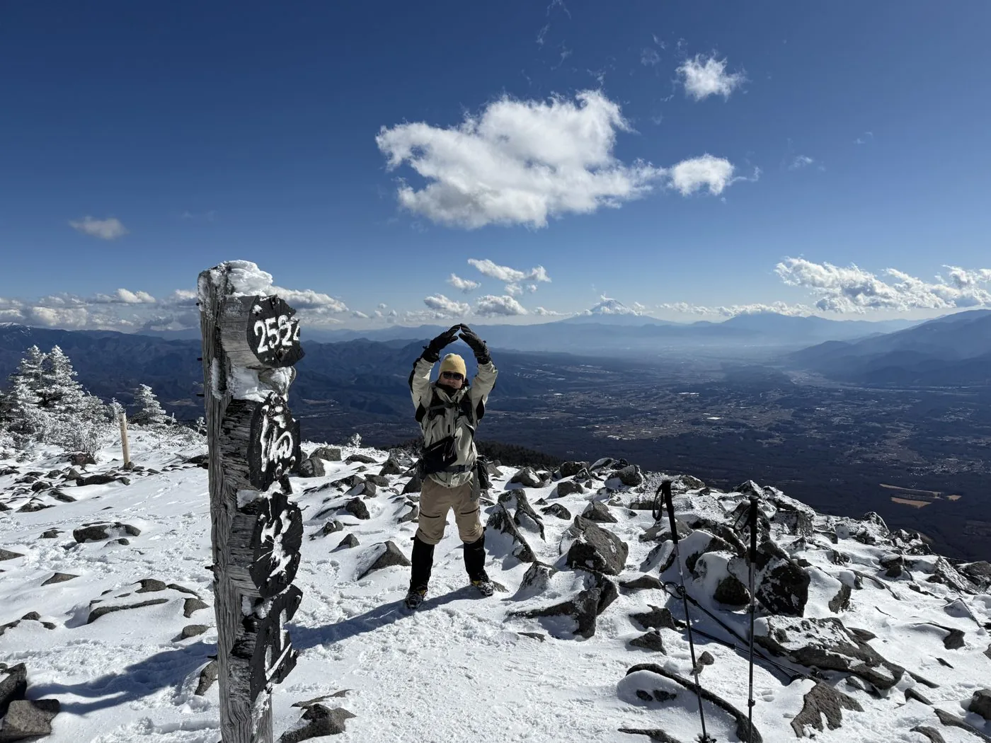
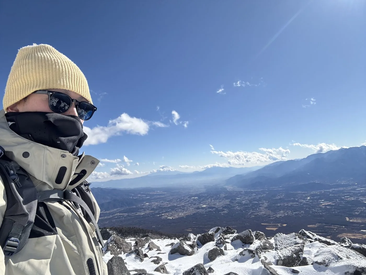
I walked it in January. Setting off from Fujimi Kogen, I climbed through a forest belt clad in rime ice to Nishidake. Following the cloud-streaked ridge down to Seinen-goya, I finally climbed the slope of large boulders above the tree line and came out on the snow-clad summit of Amigasayama. From the summit spread a grand panorama: the Gongendake–Akadake main ridge to the north, and Mt. Fuji and the Southern Alps to the south.
The editor's measured time, including breaks, was about 9 hours 8 minutes (departed 06:29, summited 12:54, descended 15:36), covering about 12.5 km and about 1,393 m of ascent. I had actually planned to extend on to Gongendake, but ran out of time and gave it up. With “next-time revenge” in mind, it was a day spent making a full loop of the snowy southern Yatsugatake.
In the video of the January 28, 2025 hike, there's an episode where the editor left the lunch bought at a convenience store in the car before setting off, and had to go back for it ([video 3:10](https://www.youtube.com/watch?v=ecqU_22K2Nk&t=190s)).
At the southern tip of Yatsugatake the elevation gain is large, and with a course constant of 32 this is a loop with real walking to it. The summit area is a field of scree above the tree line, so take care in strong wind or bad weather. In the lingering-snow season and deep winter it becomes a serious snow mountain. The loop that continues on to Gongendake beyond Seinen-goya is also a charm unique to the southern part of Yatsugatake.
Routes
Choose your route
The loop from Fujimi Kogen over Nishidake and Amigasayama (the editor's route)
Loop
Difficulty
Intermediate
Approx. time
About 9h8m (editor's measured time) / standard about 8 hours
Day trip
Day trip · for strong walkers
Starting at Fujimi Kogen, you first climb Nishidake, follow the ridge down to Seinen-goya, then stand on the summit of Amigasayama and return to Fujimi Kogen by the direct-ascent route. The climb through the forest belt is long, and above the tree line the summit area is a slope of large boulders and scree. With a course constant of 32 this is a "hard" route, large in both elevation gain and distance. The editor walked this loop in deep winter, enjoying the snow and rime ice of the southern tip of Yatsugatake (a planned extension to Gongendake had to be abandoned for lack of time).
A traverse from Kannondaira over Amigasayama to Gongendake
Traverse
Difficulty
Intermediate
Approx. time
A loop from Kannondaira connecting to Gongendake is also popular
Day trip
Day trip to hut stay
A loop starting at Kannondaira, climbing to Amigasayama, then crossing the rocky ridge of Nishi-Giboshi and Higashi-Giboshi from Seinen-goya to Gongendake and Mitsugashira, is also walked. Beyond Amigasayama the terrain becomes a rocky ridge with chained sections, and the sense of exposure on the Yatsugatake main ridge grows. Seinen-goya (known for its red lantern, the "Faraway Tavern") can serve as a base.
Editor's record
Editor's measured times
The editor's actual timings on this hike (from the video record). Use them as a guide to course times.
06:29Depart the Fujimi Kogen trailhead
10:20Nishidake (2,398 m)
11:36Seinen-goya (the col with the red lantern, the "Faraway Tavern")
12:54Reach the summit of Amigasayama (2,524 m; southern tip of the Yatsugatake range)
15:36Descend to Fujimi Kogen (loop, about 9h8m)
History & culture
History & culture
Mt. Amigasayama (Amigasayama, 2,524 m) is a mountain at the southernmost end of the Yatsugatake range. It rises on the border between Hokuto City, Yamanashi and Fujimi Town, Nagano.
The name "Amigasayama" comes from its gentle profile, like an upturned bamboo hat (amigasa). The summit is a plateau of large boulders and scree above the tree line, with grand views: the Yatsugatake main ridge such as Gongendake and Akadake to the north; Mt. Fuji and the Southern Alps to the south; and the Central and Northern Alps to the west.
In the col on the northern slope stands Seinen-goya, beloved for the red lantern hanging at its eaves, the "Faraway Tavern." A little beyond the hut is the spring water known as Otome-no-mizu. Fujimi Kogen and Kannondaira are the main trailheads, and the loop continuing from Amigasayama to Gongendake and Mitsugashira is popular.
Amigasayama is counted among the Yamanashi 100 Famous Mountains and, as the southern gateway to Yatsugatake, is loved by many hikers.
Photos
Photos from the trail
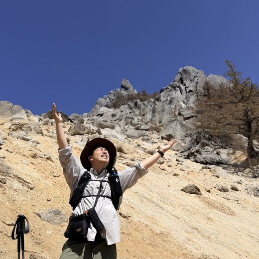
All photos were taken by the editor on the actual hike. Tap to enlarge.
It stands at the southern end of the Yatsugatake range, and the elevation gain from the trailhead is large. The Nishidake–Amigasayama loop from Fujimi Kogen that the editor walked is about 12.5 km, about 1,393 m of ascent, a "hard" route with a course constant of 32, a day trip for strong walkers. Even the direct out-and-back to Amigasayama from Fujimi Kogen is a steady climb, so plan with plenty of energy and time.
Which route is the usual one?
The loop from Fujimi Kogen over Nishidake and Amigasayama, and the loop from Kannondaira over Amigasayama to Gongendake and Mitsugashira, are the ones most often walked. The editor made the loop from Fujimi Kogen over Nishidake to Amigasayama. There is also a way of climbing that goes out and back to Amigasayama only from Kannondaira.
What are the views from the summit like?
The summit of Amigasayama is a plateau of large boulders and scree above the tree line, and the views open up widely. To the north are the Yatsugatake main ridge peaks such as Gongendake and Akadake; to the south, Mt. Fuji and the Southern Alps; to the west, the Central and Northern Alps. It is an open, airy summit befitting the southern gateway to Yatsugatake.
What kind of hut is Seinen-goya?
It is a mountain hut standing in the col between Amigasayama and Gongendake, beloved for the red lantern hanging at its eaves, the "Faraway Tavern." A little beyond the hut is the spring water known as Otome-no-mizu. It serves as a base for the loop linking Amigasayama and Gongendake, but the operating period and the state of the water source change with the season, so check in advance.