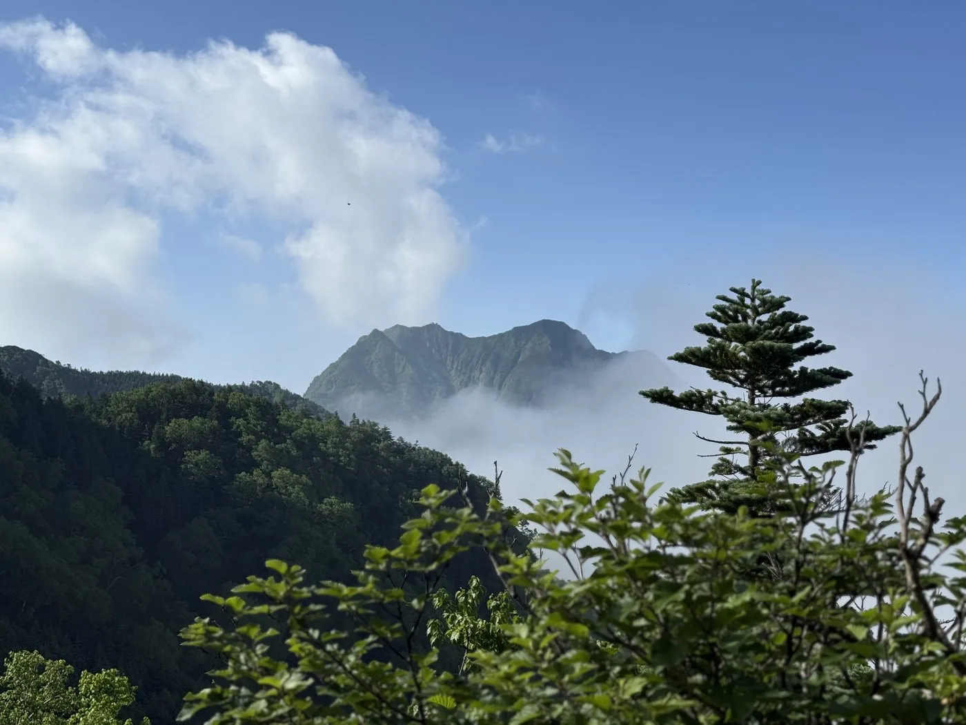
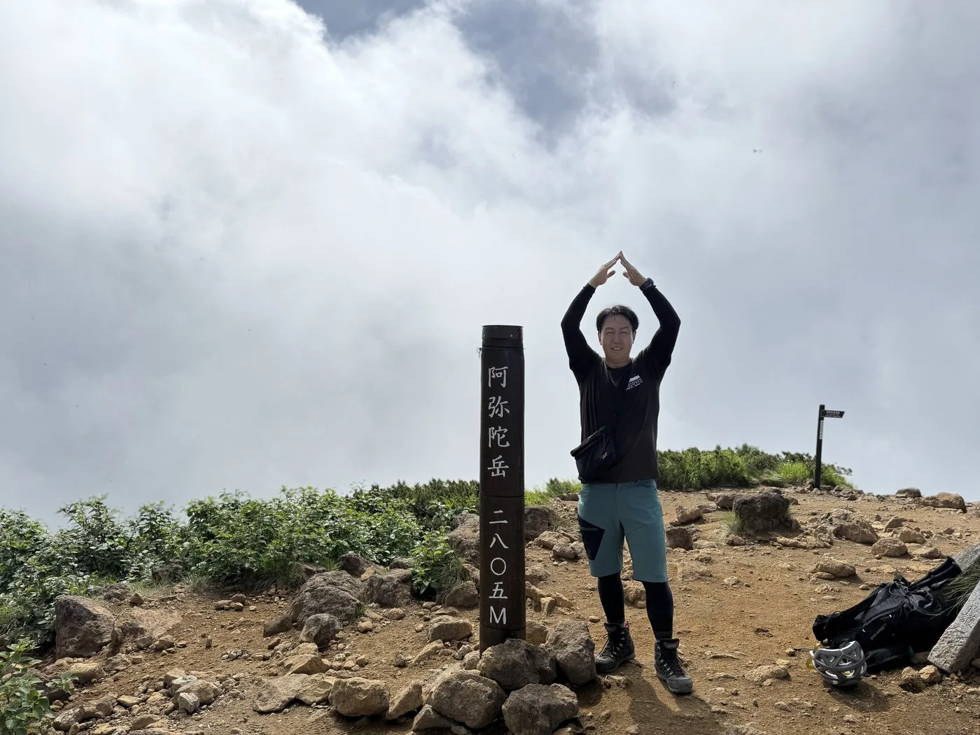
Amidadake is a sharp peak of 2,805 m standing just west of Akadake, the main peak of Yatsugatake. The third-highest peak in Yatsugatake after Akadake and Yokodake, it is the mountain that looks especially sharp beside Akadake when looked up at from the editor’s home town of Hokuto City. The Hokuto editor, having actually climbed it, sets in order this quiet sharp peak — different again from the crowded Akadake.
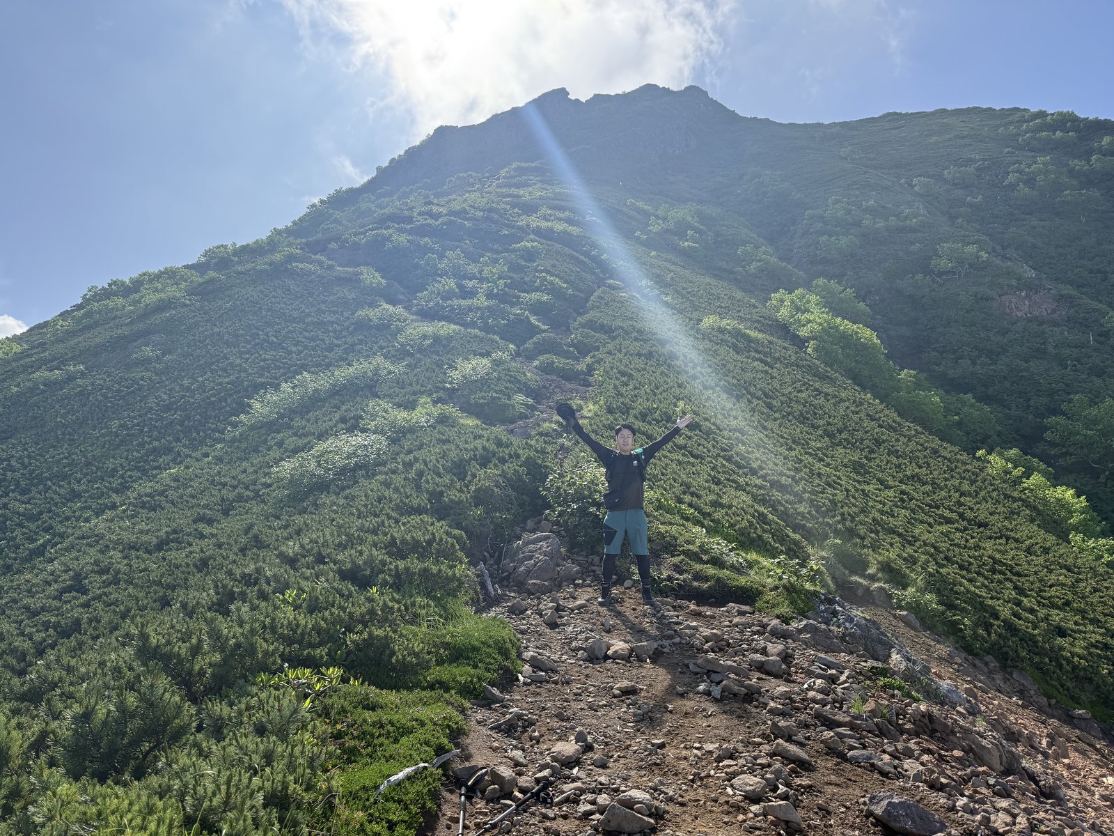
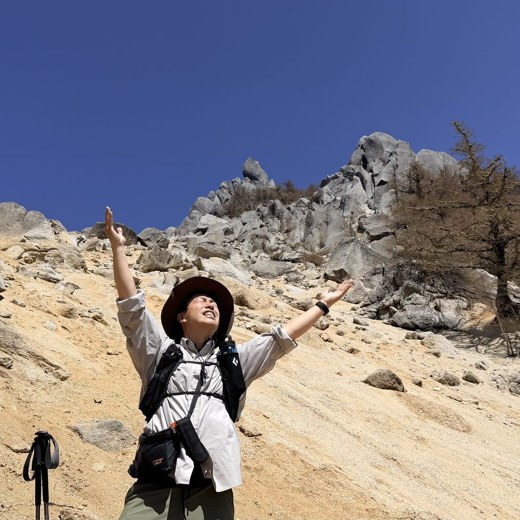
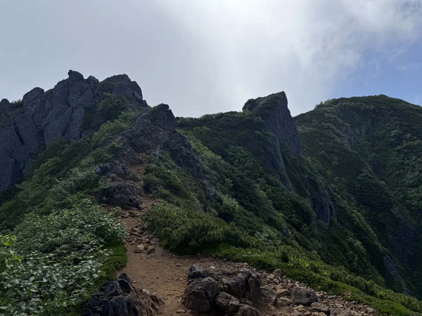
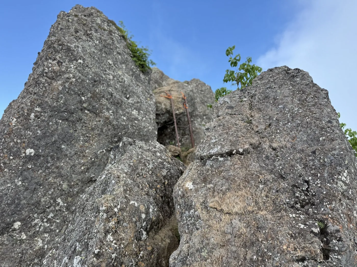
He walked it in high summer, in July. From the Funayama Crossroads, by way of Mt. Omigoya, he followed the Omigoya Ridge to the west. As he emerged from the forest, the rocky peak of Amidadake rose before him, and just below the summit came the crux — chained rocky ground. Climbing it carefully to the top, he found a grand view opening out: Akadake right in front, the valleys of Yatsugatake below, and the Southern Alps far away.
The editor’s measured time, including breaks, was about 6 hours 9 minutes (departing 04:59, summiting 8:40, descending 11:08). At about 10.8 km and more than 1,200 m of elevation gain, the rocky ground just below the summit is the crux. Note, too, that in summer there are many horseflies, and he was chased in swarms on the descent. Don’t forget your insect protection.
## What the editor saw and heard about horseflies on the climb of 9 July 2025
How many horseflies there are on Amidadake in summer is something you want to know before you climb. What follows is a summary of what the editor said in the video of the 9 July 2025 climb, "八ヶ岳全山制覇 最後の一座・阿弥陀岳". It is a single experience on that one day and does not indicate conditions on other days or in other seasons.
- What the editor learned before setting out: After seeing comments from people who had climbed the mountain recently, the editor learned that the horseflies were apparently quite numerous ([video 1:52](https://www.youtube.com/watch?v=jvwDNtuAXjQ&t=112s)). The editor also says that some kind of precaution was taken before setting out ([video 5:27](https://www.youtube.com/watch?v=jvwDNtuAXjQ&t=327s)).
- The opening of the video, the scene before departure: There is a remark that the buzzing of horseflies can be heard ([video 1:45](https://www.youtube.com/watch?v=jvwDNtuAXjQ&t=105s), [video 1:50](https://www.youtube.com/watch?v=jvwDNtuAXjQ&t=110s)).
- For a while after starting to climb: The editor felt that "there aren’t that many horseflies" ([video 5:10](https://www.youtube.com/watch?v=jvwDNtuAXjQ&t=310s)). Although there were spots along the way where buzzing could be heard, the editor says that at that point the horseflies on the climbing route seemed all right ([video 5:27](https://www.youtube.com/watch?v=jvwDNtuAXjQ&t=327s)). The editor also said that once you stop for a while, they might come close.
- Along the way: In the video there is a scene in which the editor says "I was bitten by a horsefly" ([video 6:37](https://www.youtube.com/watch?v=jvwDNtuAXjQ&t=397s)).
- As the summit approaches: The editor says that horseflies come close when you are stopped, and that they become more bothersome the closer you get to the summit ([video 14:31](https://www.youtube.com/watch?v=jvwDNtuAXjQ&t=871s), [video 14:38](https://www.youtube.com/watch?v=jvwDNtuAXjQ&t=878s)).
To sum up, on the editor’s climb in July 2025, the horseflies did not feel so numerous early in the walk, but they became a nuisance when stopped and once closer to the summit.
The Omigoya Ridge can be climbed in quiet, but just below the summit is chained rocky ground. Move carefully with three points of contact, and watch for rockfall. Escape routes are few, so decide early if the weather worsens. The loop linking it with Akadake is appealing too, but rocky ground continues on both, so give yourself plenty of time.